
- Brief description
-
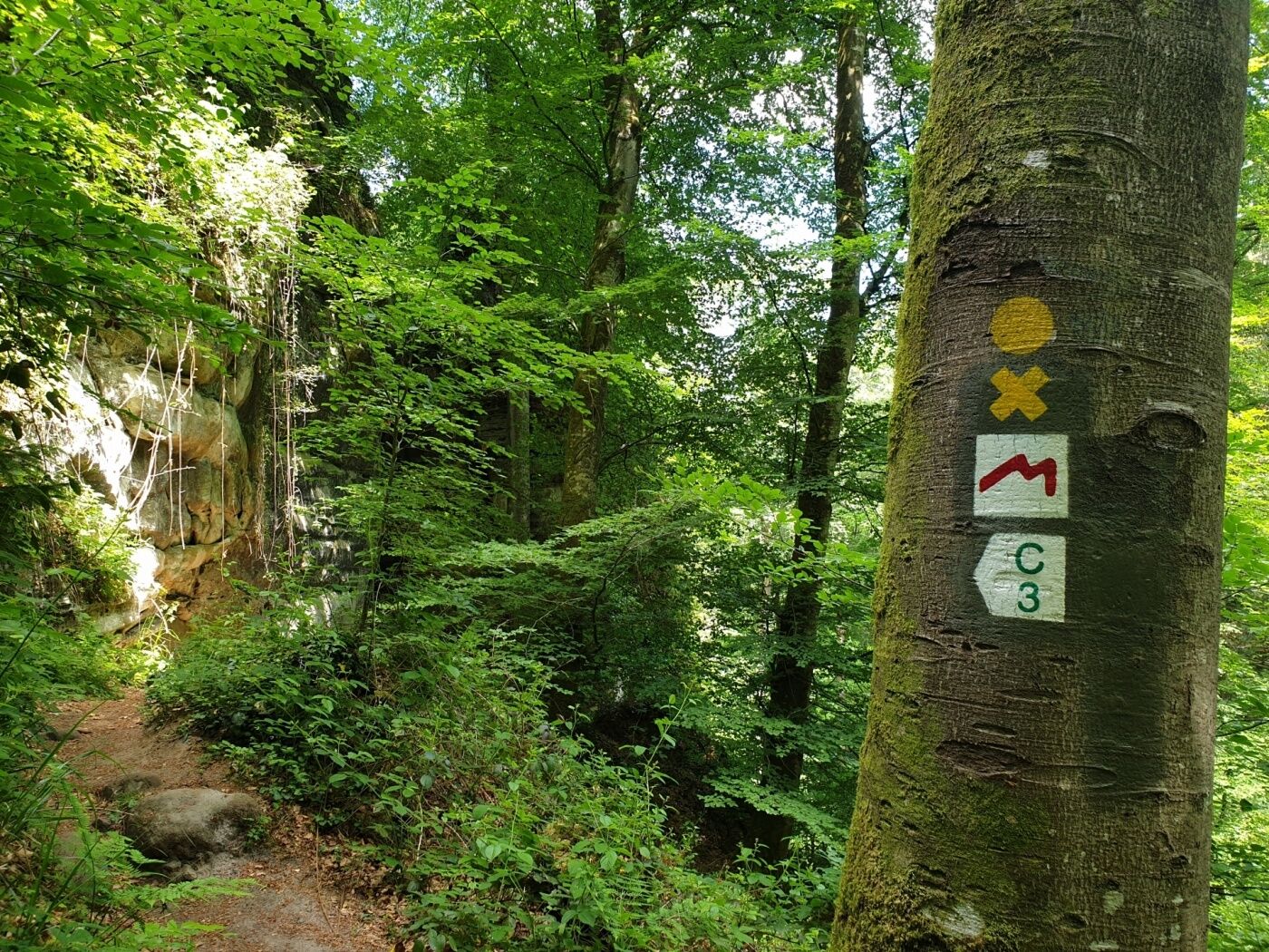
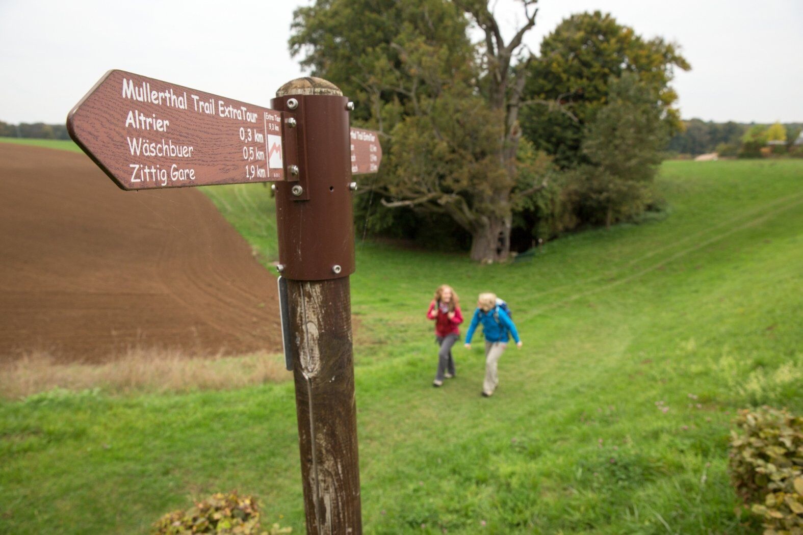
The Mullerthal Trail offers four smaller tracks - the ExtraTours - which can also be characterized as very attractive hiking tracks. They can be considered as departures as well as additional tours when all the other hikes have been undertaken already.
- Difficulty
-
medium
- Rating
-
- Starting point
-
Bech: Becher Gare or Altrier: Centre
- Route
-
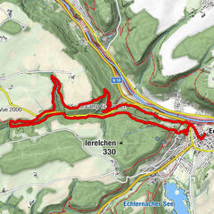
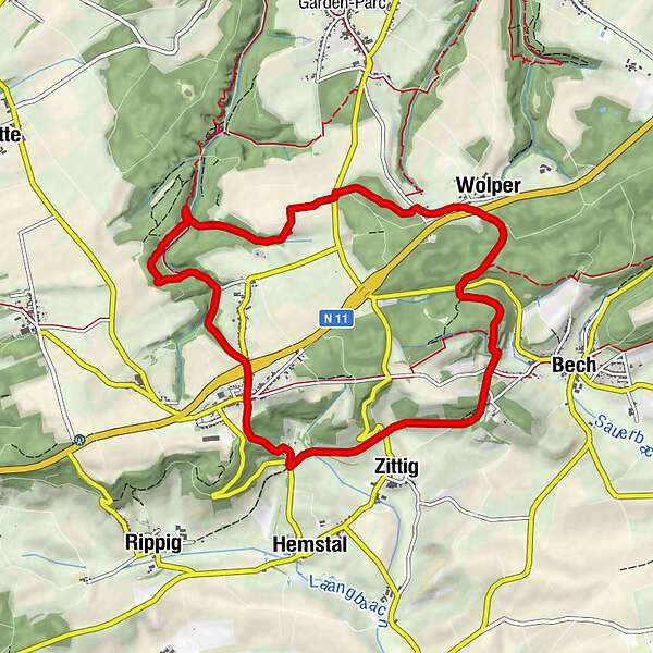
Becher GareWolper1.5 kmHersberg5.3 kmAltrier6.4 kmZittig7.9 kmBecher Gare9.0 km
- Best season
-
JanFebMarAprMayJunJulAugSepOctNovDec
- Description
-
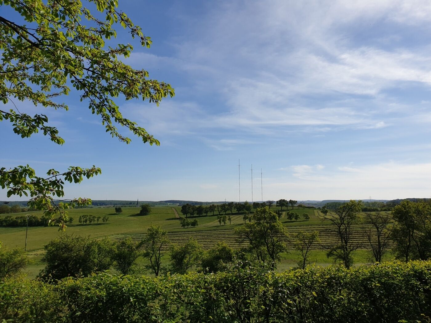
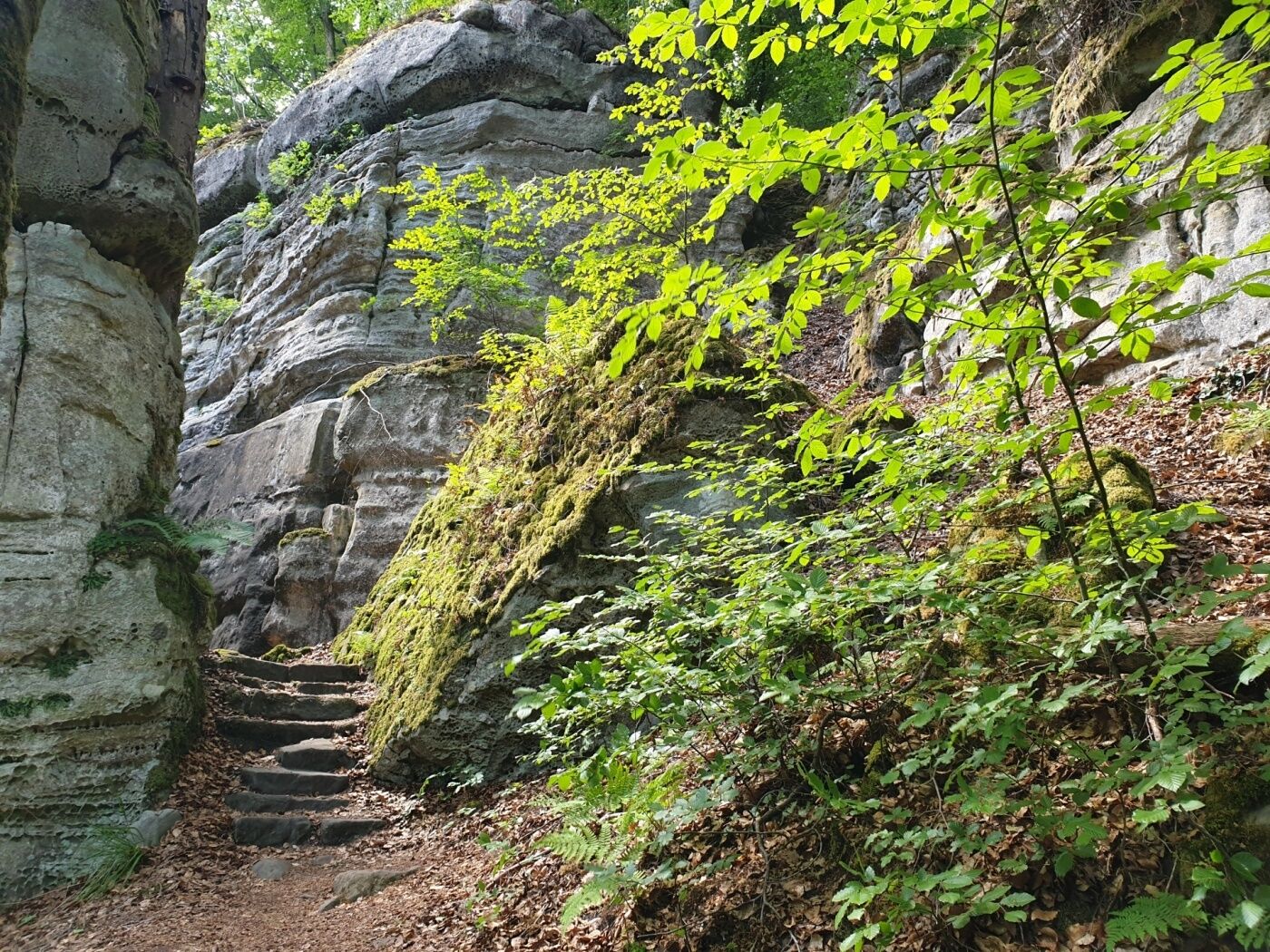
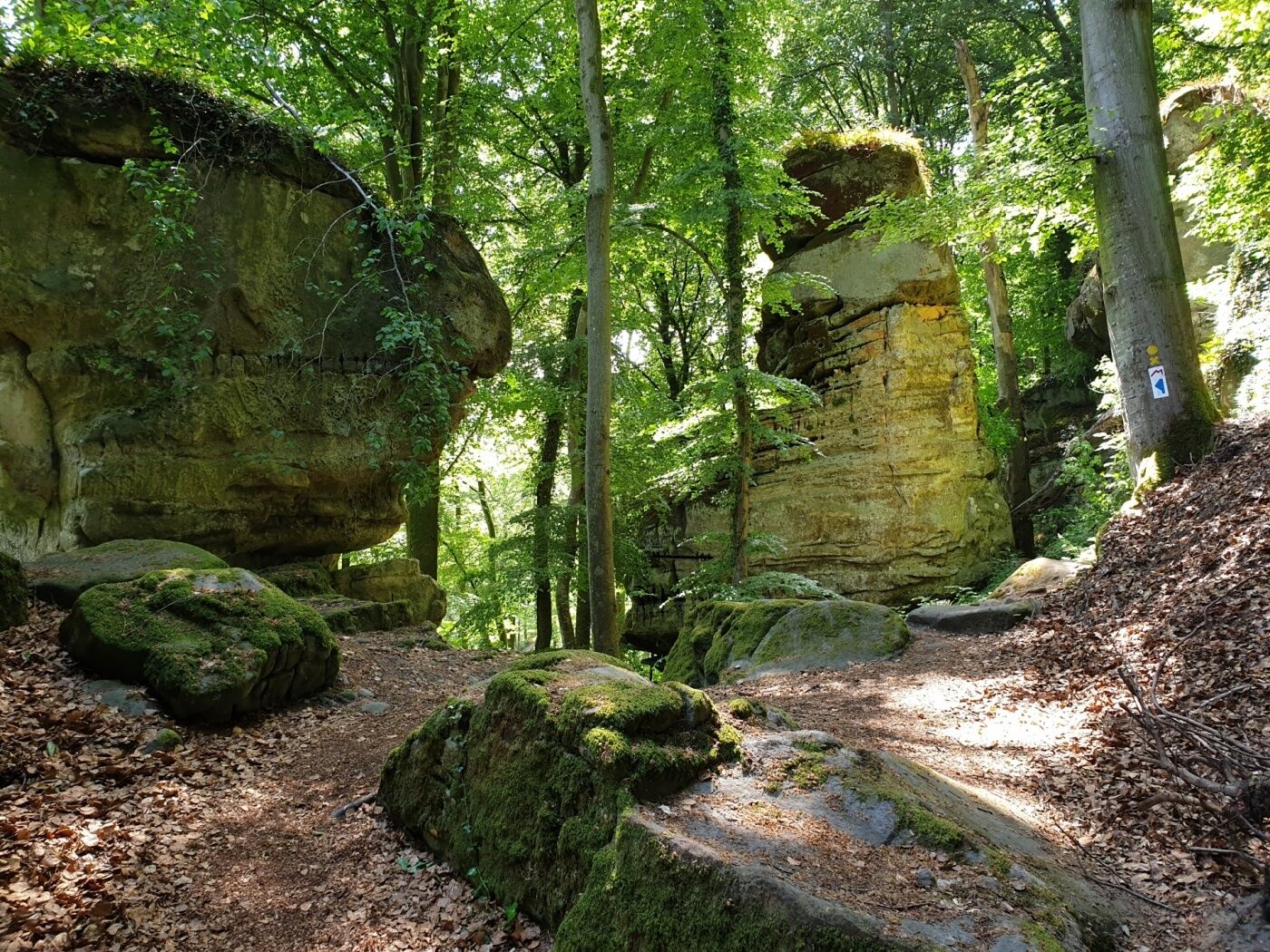
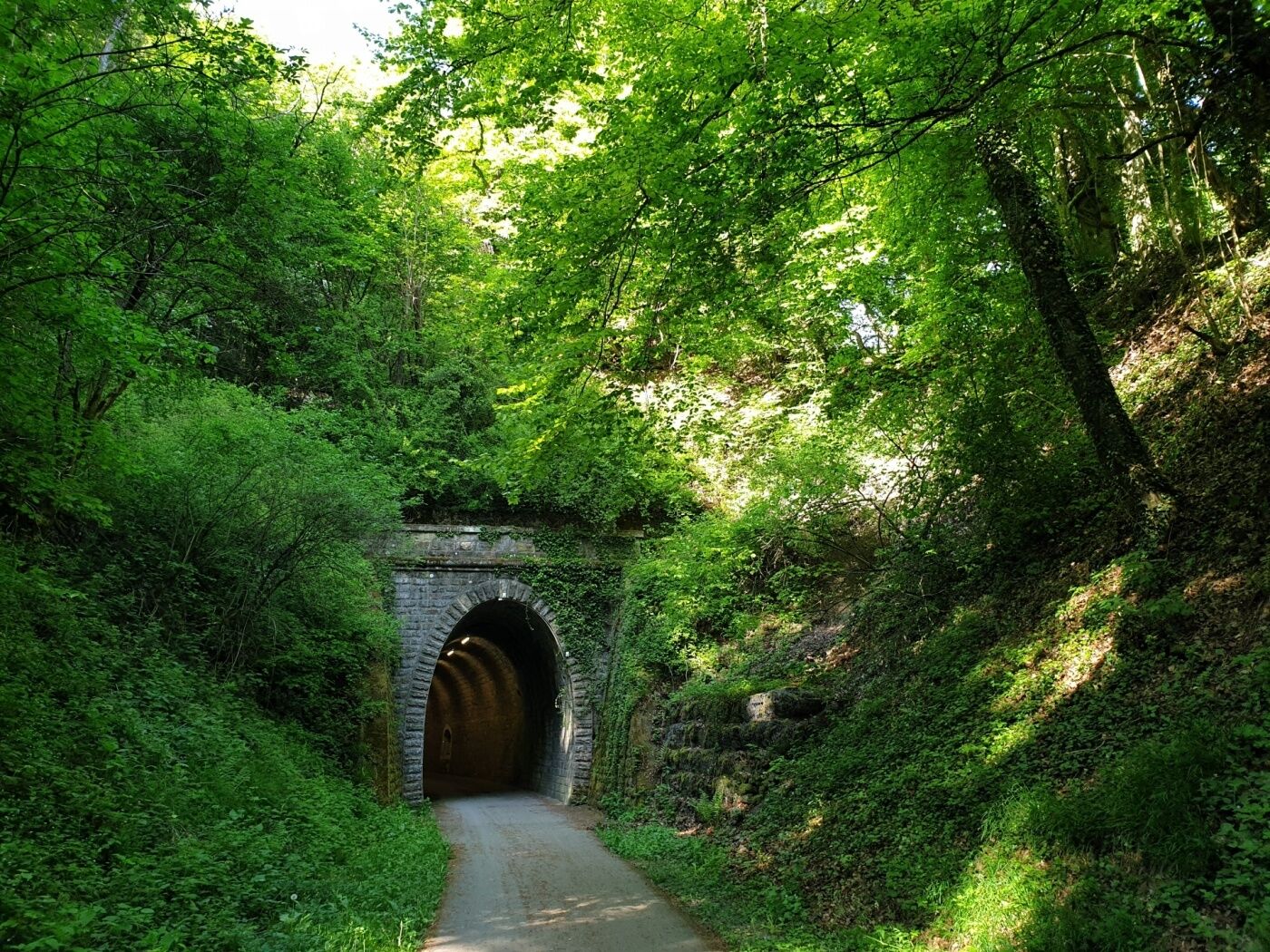
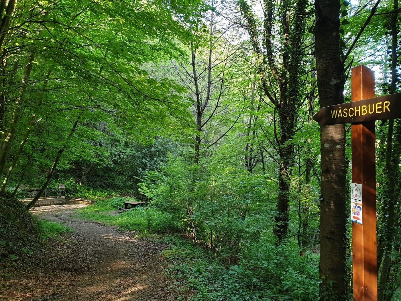
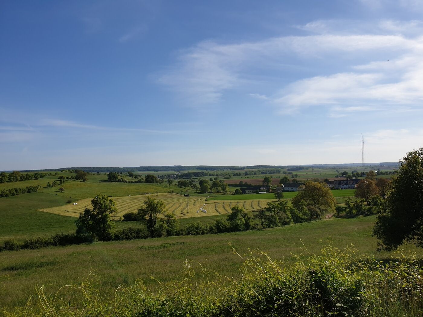
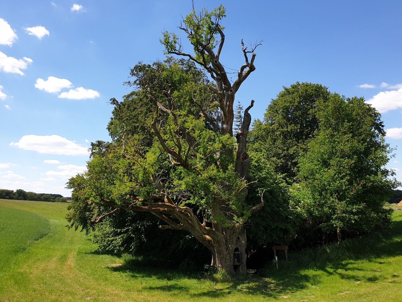
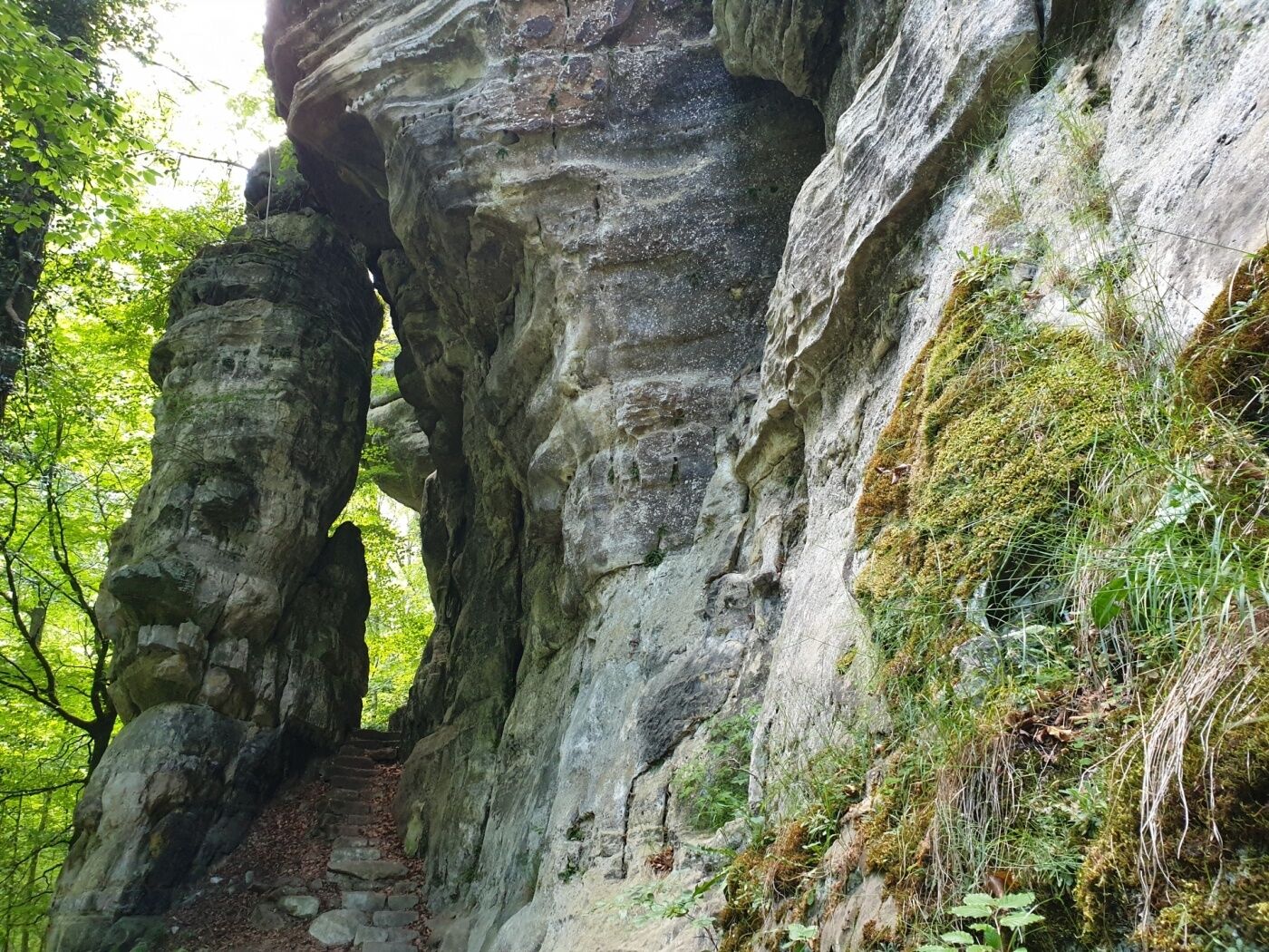
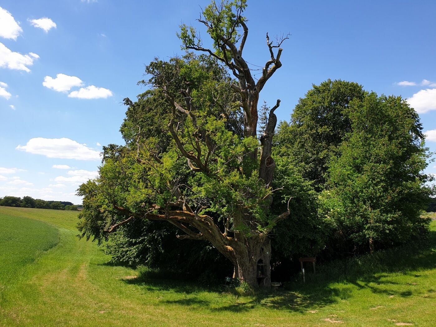
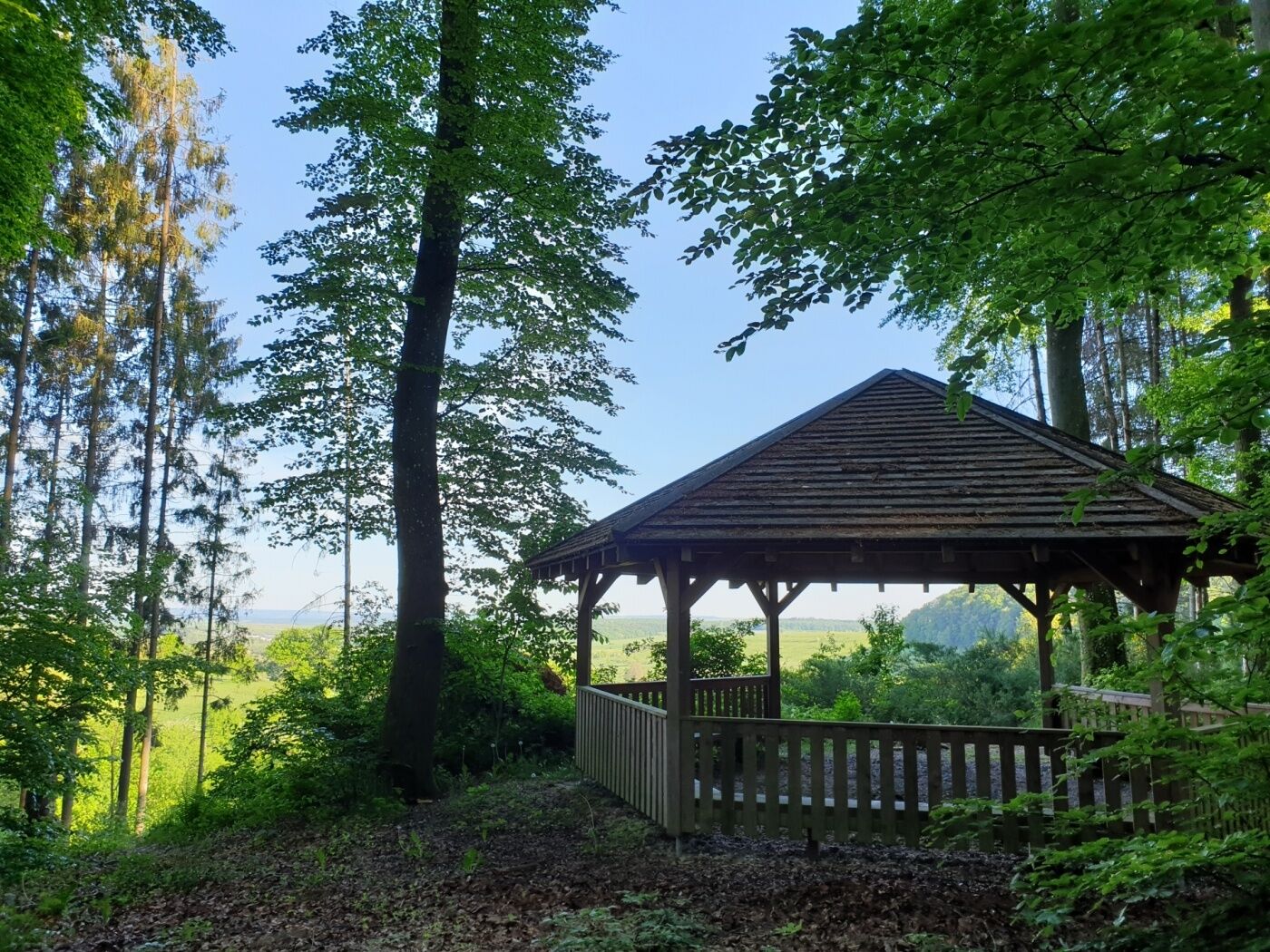
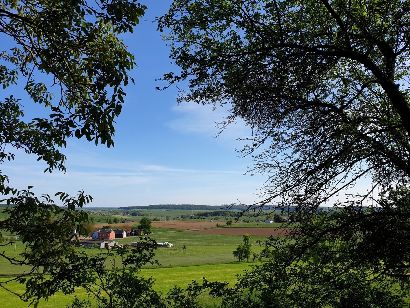
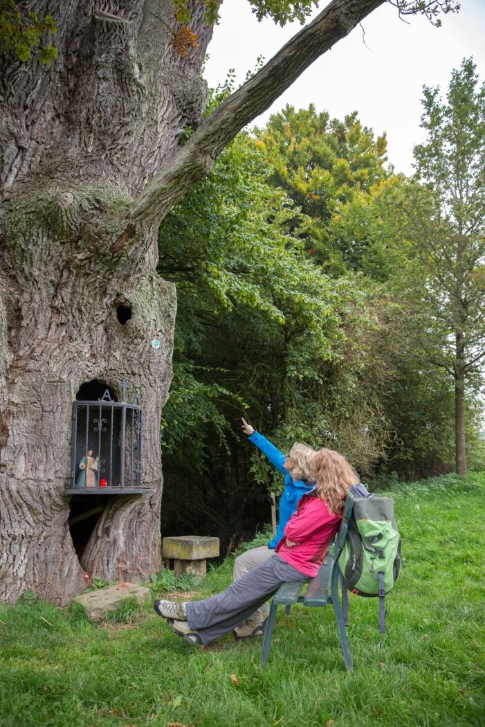
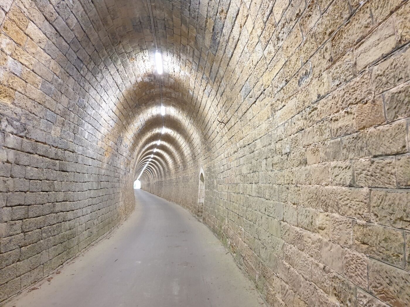
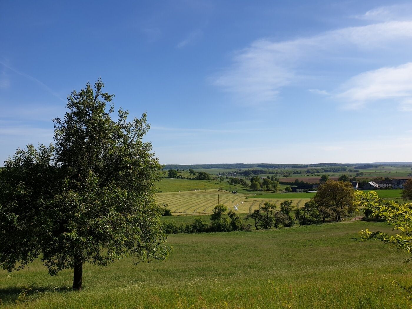
The ExtraTour C connects the localities of Bech and Altrier with the Mullerthal Trail. In Bech, you pass the old railway station (Bech Gare) which had been transformed into a chalet and then you go through a tunnel of 300 m which is used as cycle track - so beware of the bikes! Between Bech and Altrier you have very nice views over valleys. Worth seeing on this passage are the tumulus (an ancient Roman grave) and the natural site called “Bildchen” (a approx. 500-year old oak-tree)
- Highest point
- 394 m
- Endpoint
-
Bech: Becher Gare or Altrier: Centre
- Height profile
-
 © outdooractive.com
 - Equipment
-
Sturdy shoes recommended, especially in wet weather.
- Additional information
-
Email: info@mullerthal.lu
http://www.mullerthal-trail.lu - Public transportation
-
Closest bus stop: Bech, Um Faubourg / Altrier, Op der Schanz
- Parking
-
Closest parking lot: Bech Gare /Altrier: on site
- Author
-
The tour Mullerthal Trail ExtraTour C is used by outdooractive.com provided.


General info
-
Müllerthal
548
-
Betzdorf
154