- Brief description
-
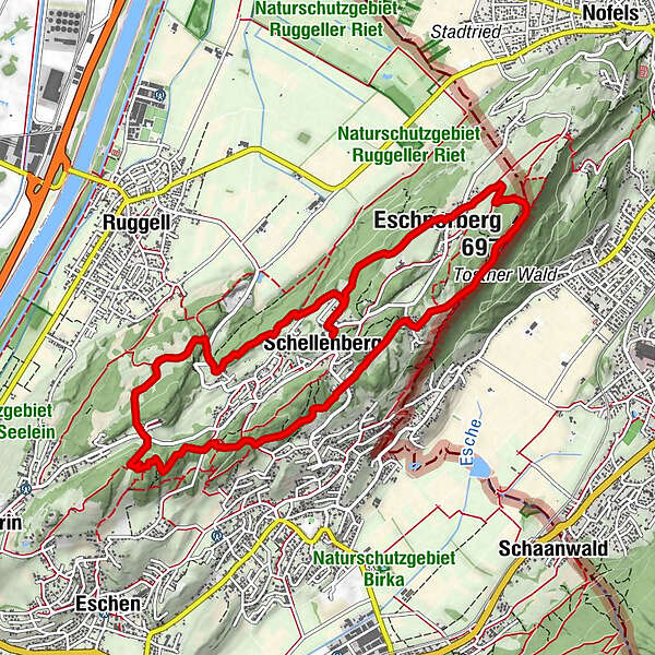
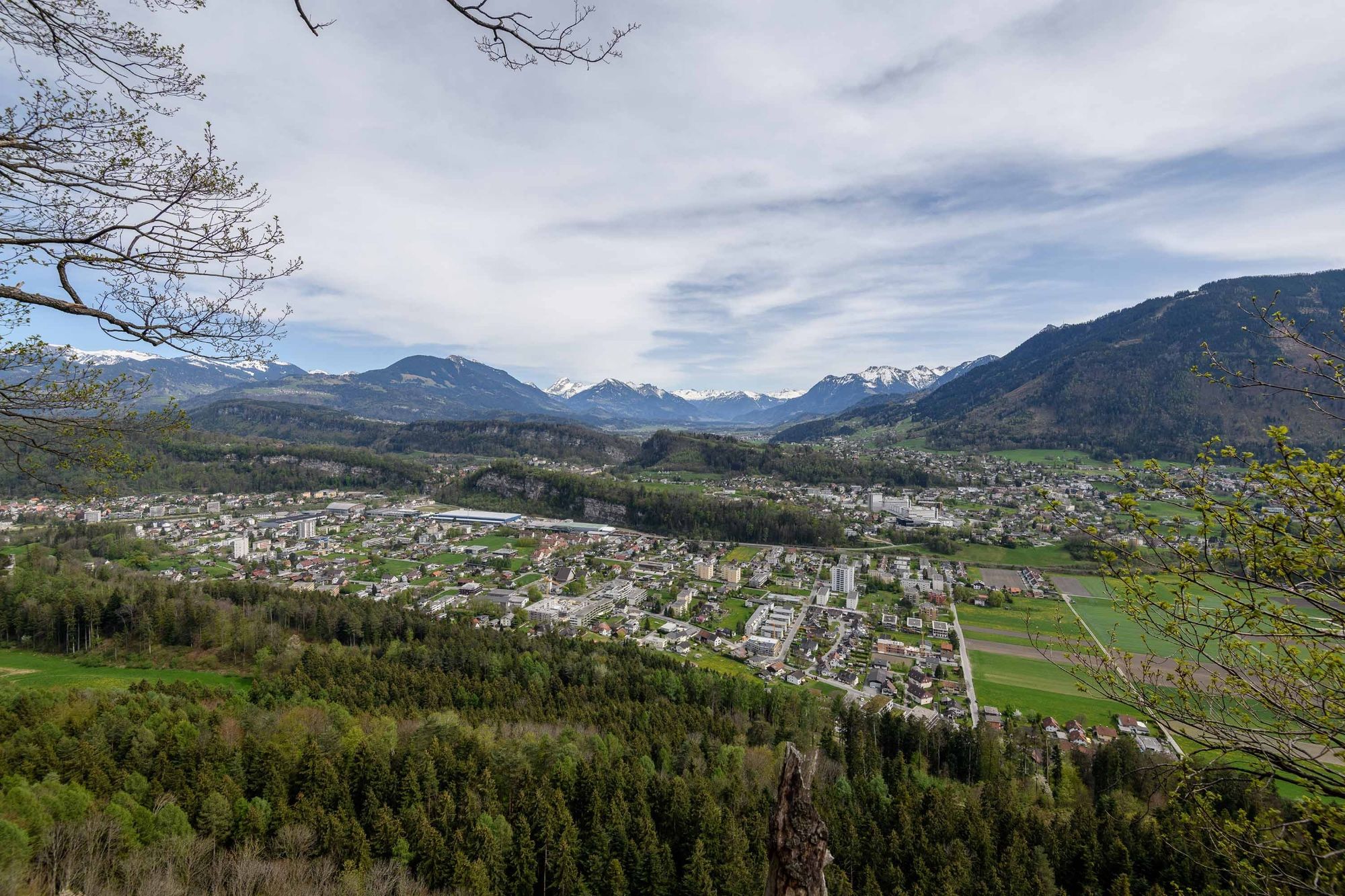
Created between 1972 and 1975, this trail leads walkers along both sides of the mountain ridge in Eschnerberg and past several sites of archaeological and historical interest.
- Difficulty
-
easy
- Rating
-
- Route
-
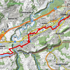
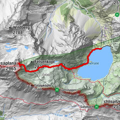
Schellenberg (626 m)Schellenberg (626 m)6.2 kmGasthaus Weinlaube6.9 kmHinterer Gantenstein (695 m)7.8 kmEschnerberg (697 m)8.2 kmFeldkirch8.3 kmWirtschaft zum Löwen8.9 kmHinterschellenberg9.1 kmSankt Georg9.3 kmSchellenberg (626 m)10.7 km
- Best season
-
JanFebMarAprMayJunJulAugSepOctNovDec
- Description
-
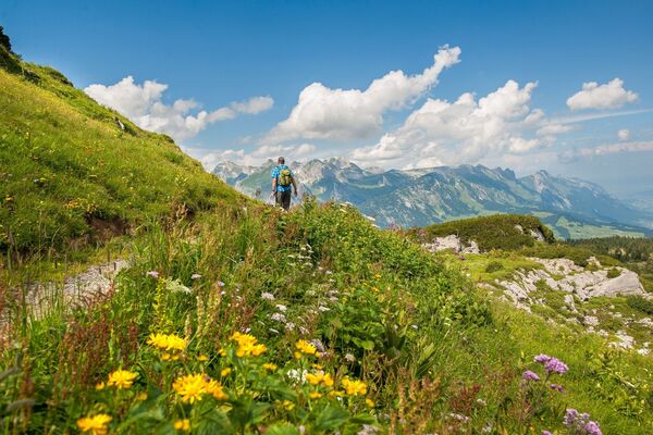
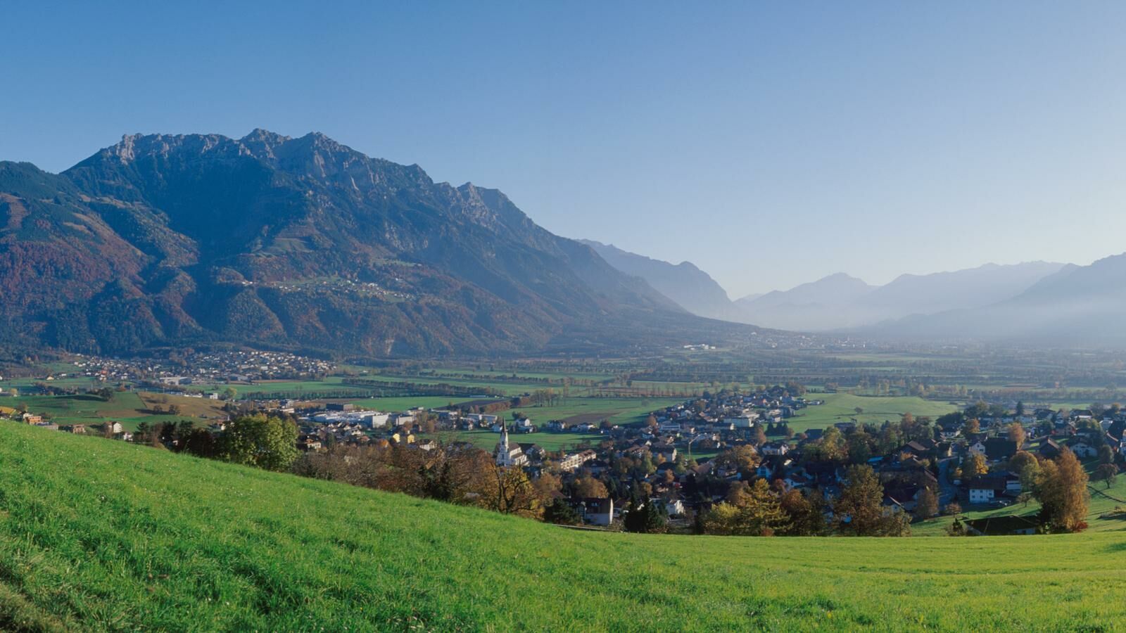
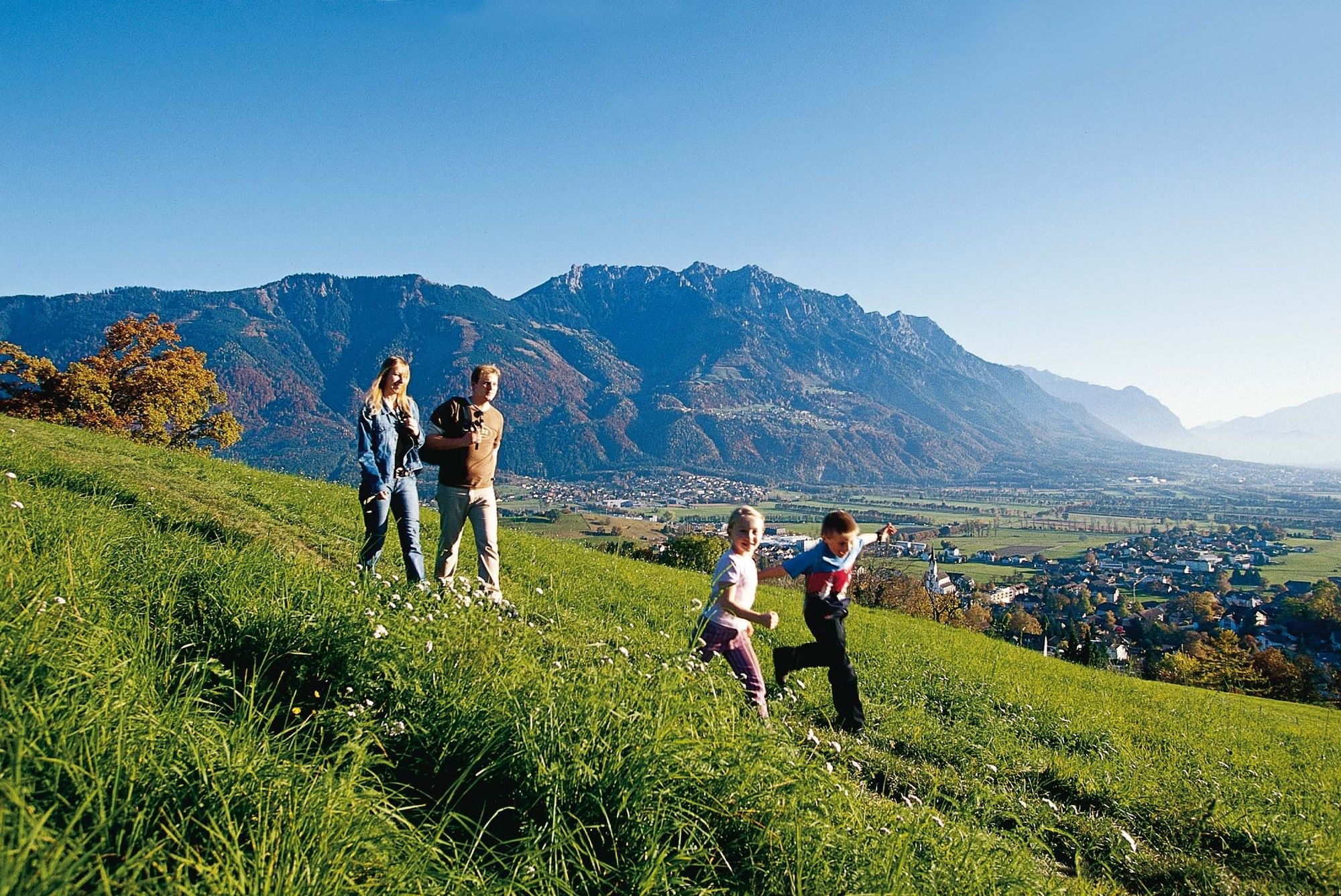
45 signs provide information on everything from archaeological finds to the history of the five municipalities in the Unterland, the surrounding landscape and local myths and legends. The Historical Eschnerberg Trail leads around the peaceful forest to Schellenberg, where hikers can enjoy marvellous views of the Rhine valley, the Rätikon massif, the Alvier chain of mountains and the imposing summit of the Alpstein.
- Highest point
- 692 m
- Endpoint
-
Schellenberg
- Height profile
-
 © outdooractive.com
 - Safety instructions
-
Going on a tour requires careful planning. We recommend that you discuss the routes and weather conditions with the local information points in advance. Depending on the season and weather conditions, this route may be closed or interrupted.
- Tips
-
The village of Schellenberg is also home to the oldest house in Liechtenstein (dating back to the 16th century), where visitors can see the interior of a typical farmhouse from around 1900.
For families: There is a barbeque spot near the ruins in Neu-Schellenberg.


-

-
AuthorThe tour Historical Eschnerberg Trail is used by outdooractive.com provided.


General info
-
Appenzellerland
1956
-
Liechtenstein
1289
-
Schellenberg
297