


- Brief description
-
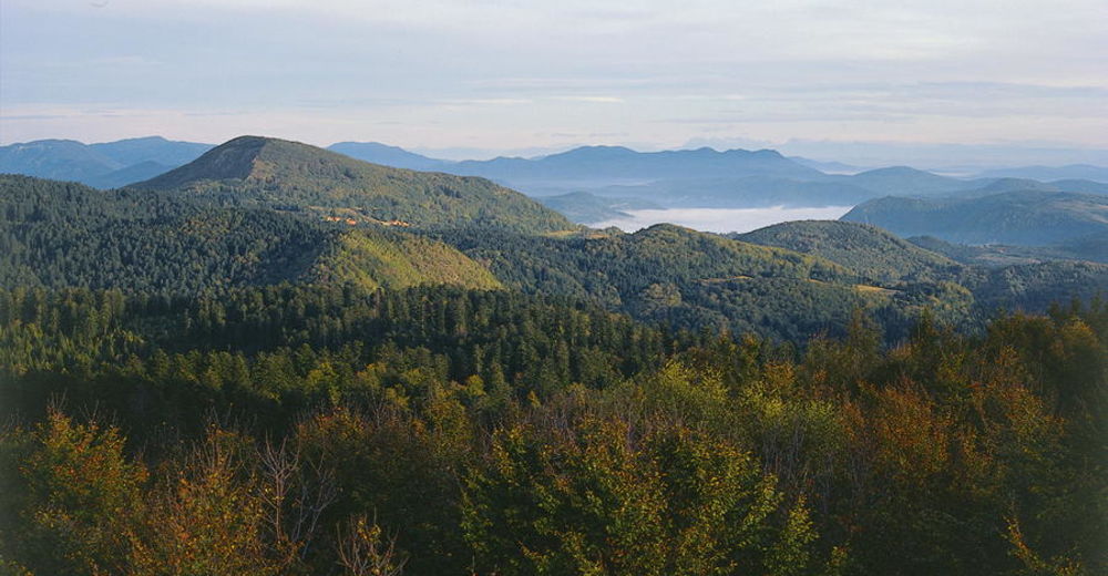
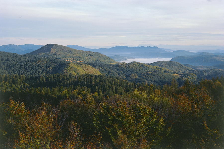
From Skrad and Skradski vrh towards Ravna Gora, we come across a mountain slope approximately 5 kilometers long, spreading in the same direction as the Dinarides, with the site of Javorova kosa at its southern end. Skradski vrh is connected with the area of Ravna Gora along a longitudinal trail passing across Kicljeve jame and Kicljev vrh.
- Difficulty
-
medium
- Rating
-
- Starting point
-
Skrad
- Route
-
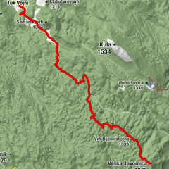
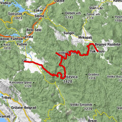
HribacKicljev vrh (901 m)3.4 kmBijela Kicljeva jama4.6 kmKuća Javorova Kosa9.9 kmJavorova Kosa (1,016 m)10.0 kmRazgledna piramida10.1 kmBožji studenac10.4 kmcrkva svete Terezije Avilske12.2 kmRavna Gora13.1 km
- Best season
-
JanFebMarAprMayJunJulAugSepOctNovDec
- Description
-
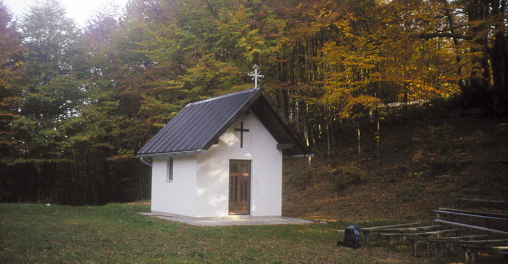
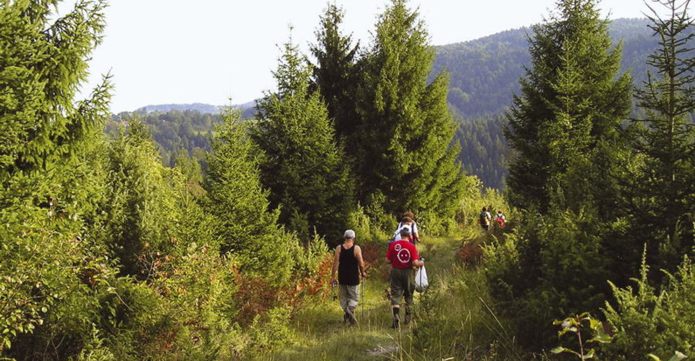
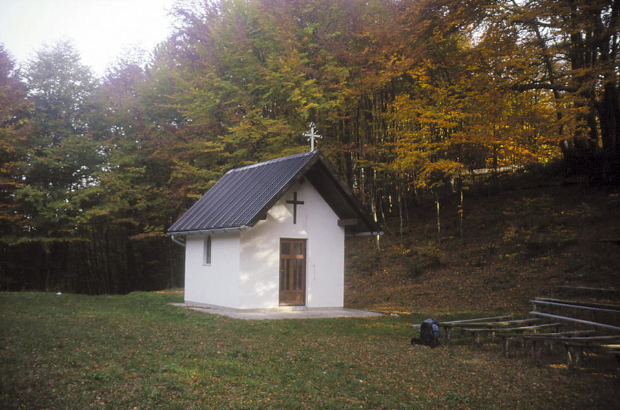
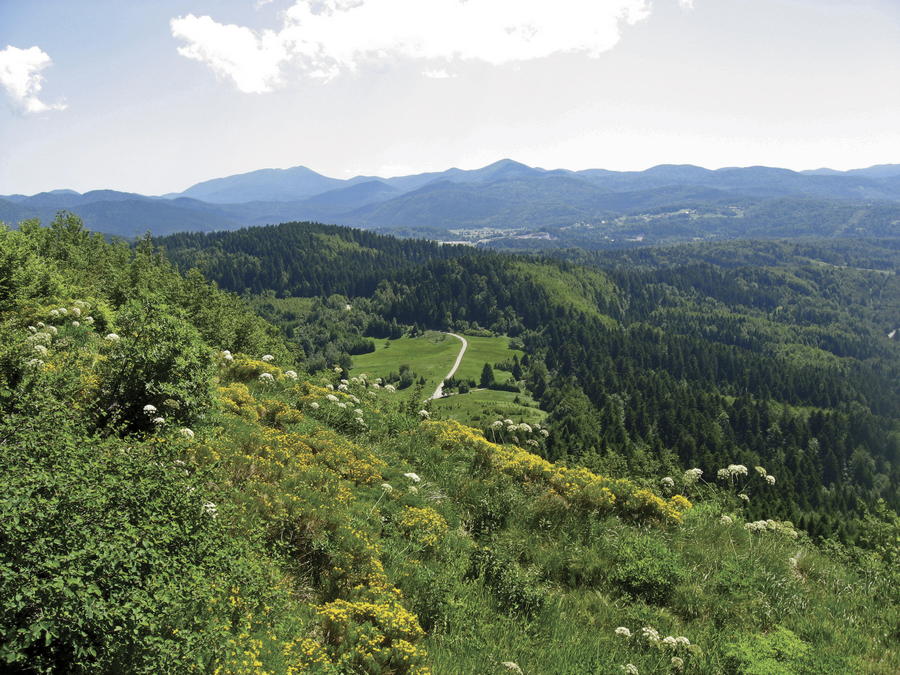
A marked section of the Gorski Kotar Hiking Trail (Goranski planinarski put) leads from Skrad to Skradski vrh (1 hour and 30 minutes of hiking). From the center of Skrad, the markings first take us through the settlement, next to the cemetery and the church, and then ascend across a small meadow into the forest. After 20 minutes, the trail passes across Kavranova stijena (a viewpoint). After that, we cross an asphalt road, and then we proceed along a steep and rather long climb along a forest road to a glade and a small chapel on the top.
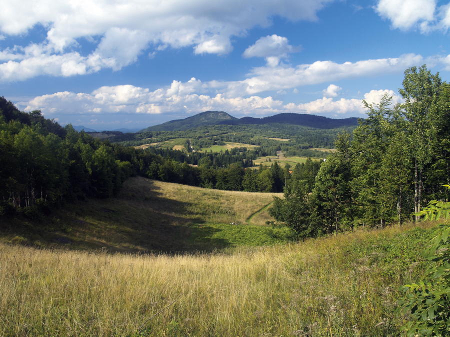
We can reach Ravna Gora from Skradski vrh in 3 hours of hiking. This route is not fully marked, but it is easy to find one's way with the help of a map. The route is also interesting as a link between Javorova kosa and Skradski vrh, and there are several route options that can be taken. In the section of the route from Kicljeve jame towards Javorova kosa, we follow the route of the Ravna Gora Hiking Trail (Ravnogorski planinarski put).
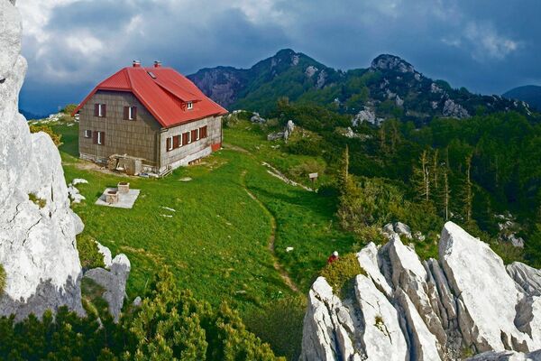
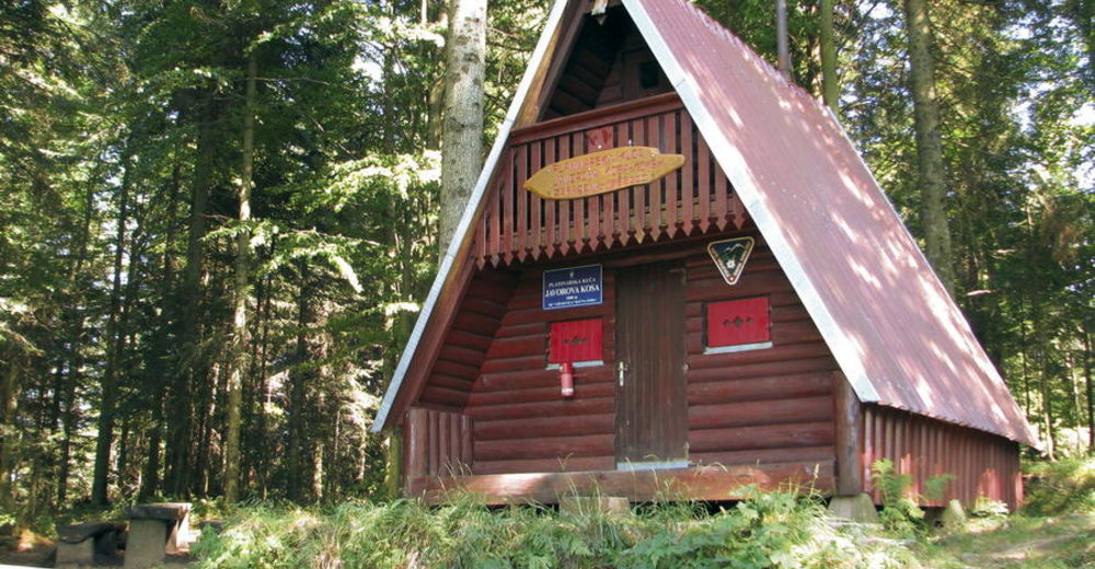
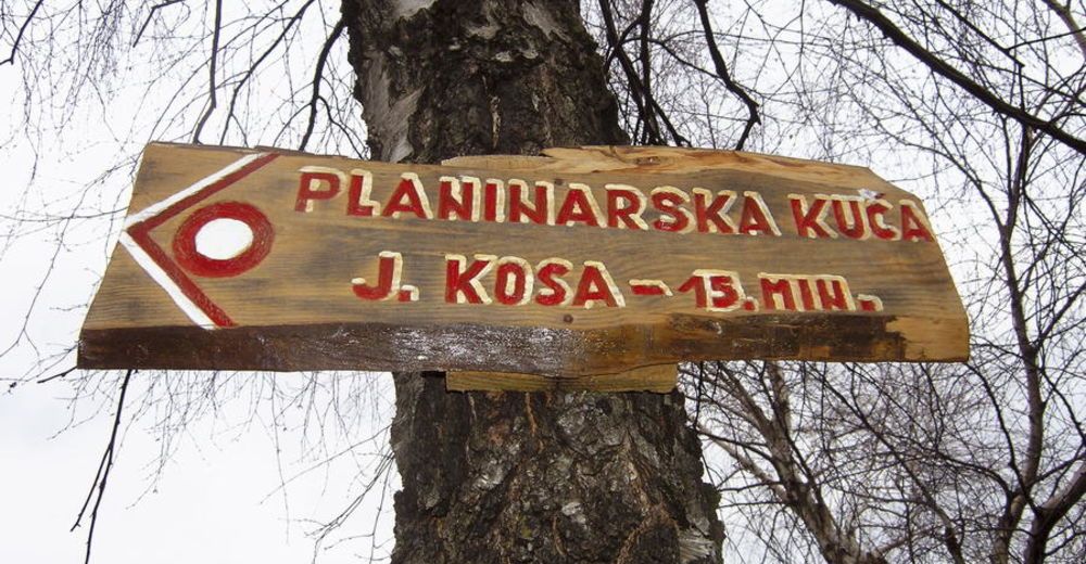
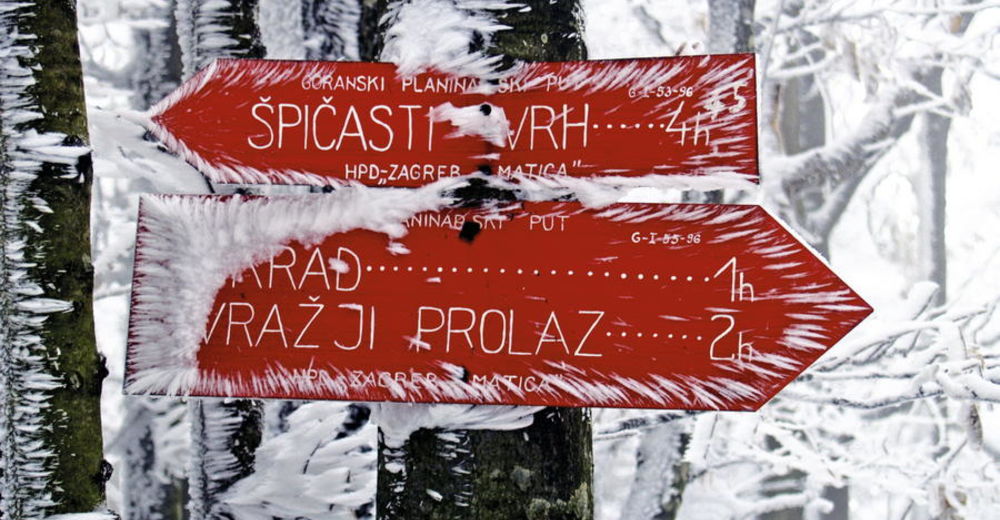
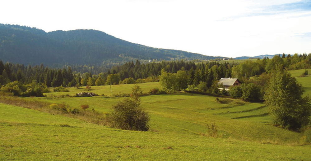
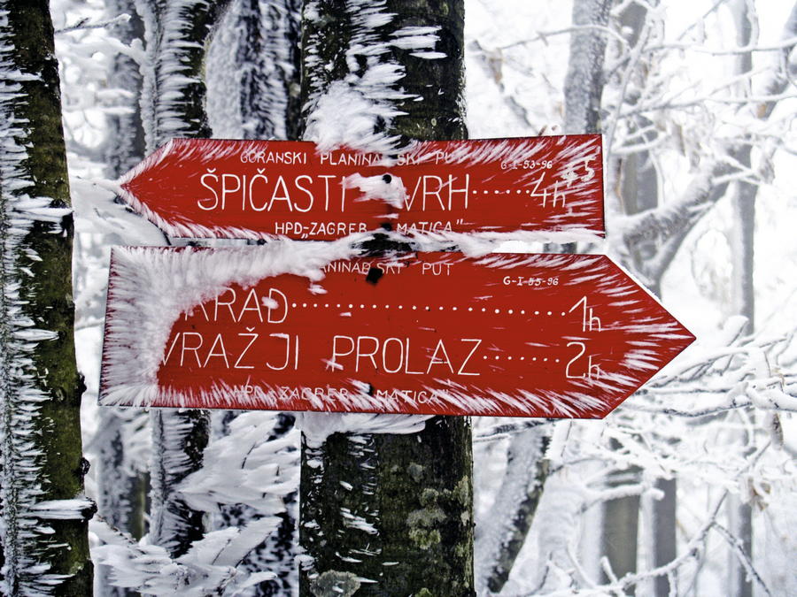
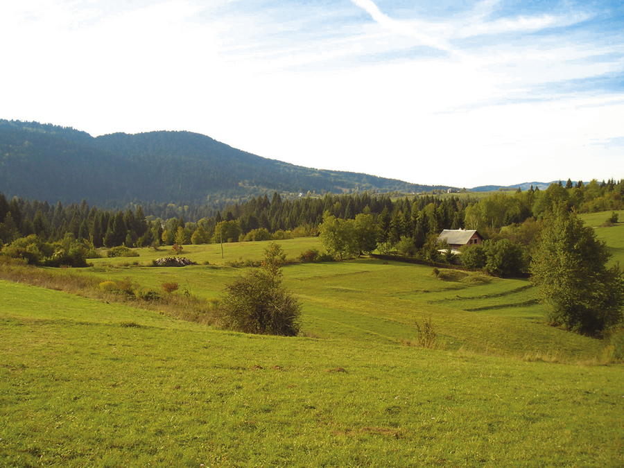
Hikers departing from Skrad can first climb to Skradski vrh (1 hour and 30 minutes of hiking), and then descend to the village of Hribac on the other side. Hikers who do not wish to explore Skradski vrh can bypass this site by proceeding directly from Skrad to Hribac by road. To the north of Skradski vrh, the route takes us further to the base of Kicljev vrh. Signposts placed there show us that we can continue to the right to Ravna Gora (passing next to Ponor pod Kosicom), or to the left in the direction of Kicljev vrh and Kicljeve jame. Once at Kicljeve jame, we need to continue along a forest road to Javorova kosa. Towards the end, the trail steeply ascends next to the spring called Božji studenac to the mountain shelter Javorova kosa.
- Highest point
- 1,012 m
- Endpoint
-
Ravna Gora
- Height profile
-
 © outdooractive.com


-

-
AuthorThe tour Via Dinarica HR-G-02 From Skrad to Javorova kosa is used by outdooractive.com provided.


-
Gorski kotar
28
-
Ravna Gora
11