© Schilcherland Steiermark - Nora Ruhri

© Südsteiermark - Nora Ruhri
- Brief description
-
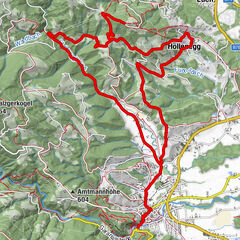
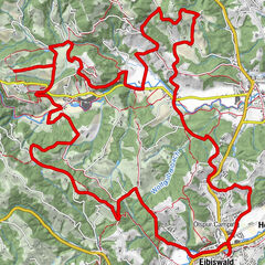
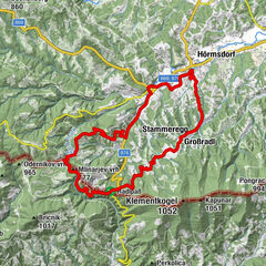
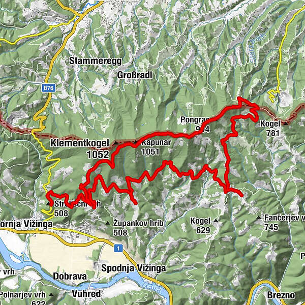
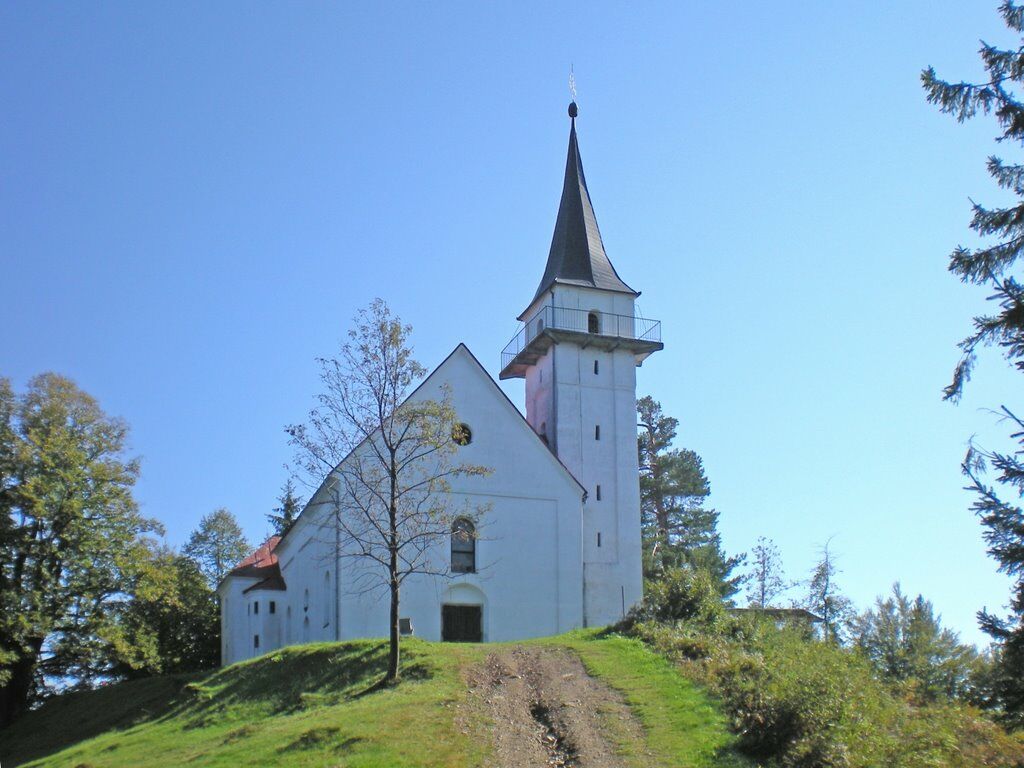
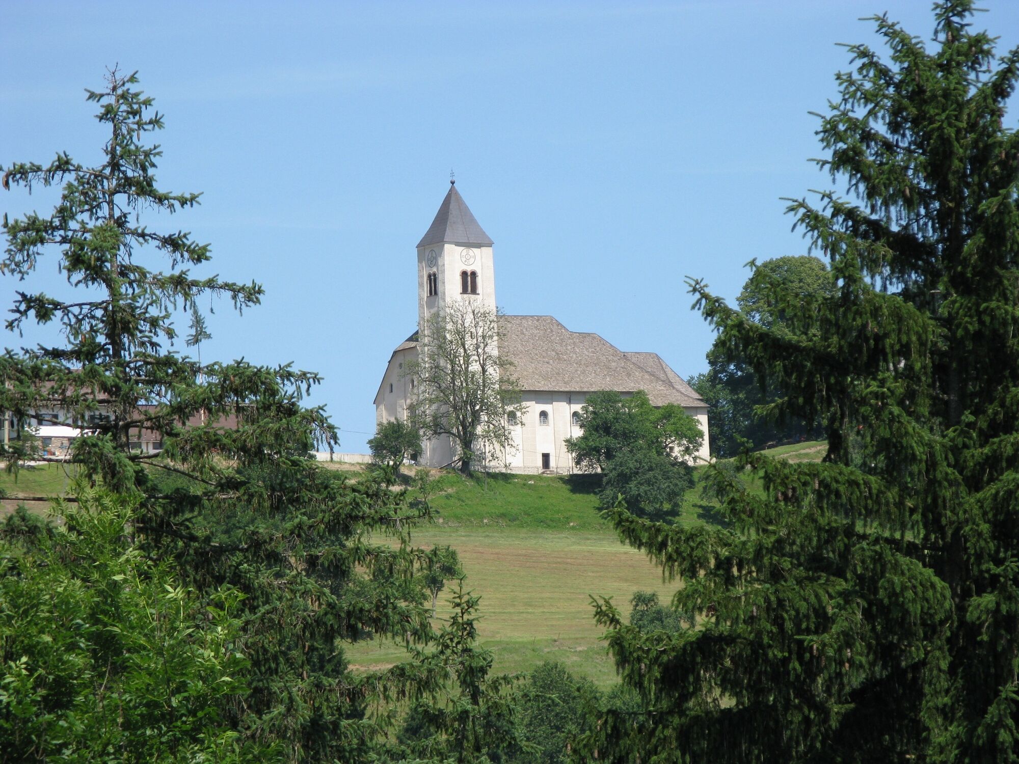
Strecke: 36km Fahrtzeit : 3 Stunden Höhenmeter: 950m Schwierigkeit: mittel Kondition: 3 von 5 Panorama: 4 von 5 Beste Jahreszeit: März bis Oktober Beschaffenheit: 30% Asphalt, 50% Schotter, 20% Waldweg Sehenswürdigkeiten: Kapunar, Kirche St. Pongratzen, Remsnik und Kirche Heiliger Jurij, Kirche Heiliger Janez, Zupank
- Difficulty
-
medium
- Rating
-
- Route
-
Kapunar (1,051 m)7.4 kmPongrac (994 m)10.6 kmSt. Pongratzen (900 m)11.5 kmSankt Pongratzen11.6 kmPongratzen12.0 kmPodškanov hrib (783 m)13.4 kmRemšnik18.5 kmSveti Janez26.5 km
- Best season
-
JanFebMarAprMayJunJulAugSepOctNovDec
- Highest point
- 1,007 m
- Endpoint
-
Radlje ob Dravi
- Height profile
-
 © outdooractive.com
-

-
AuthorThe tour Aufstieg auf St. Pongratzen is used by outdooractive.com provided.
GPS Downloads


General info
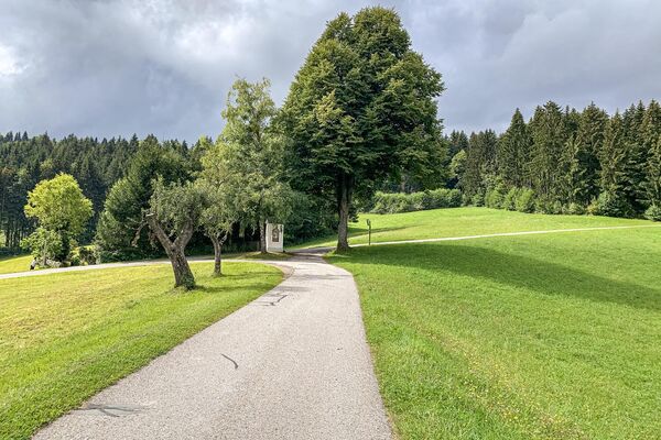
Refreshment stop
A lot of view
Other tours in the regions
-
Südsteiermark
138
-
Koroška
59
-
Radlje ob Dravi
48