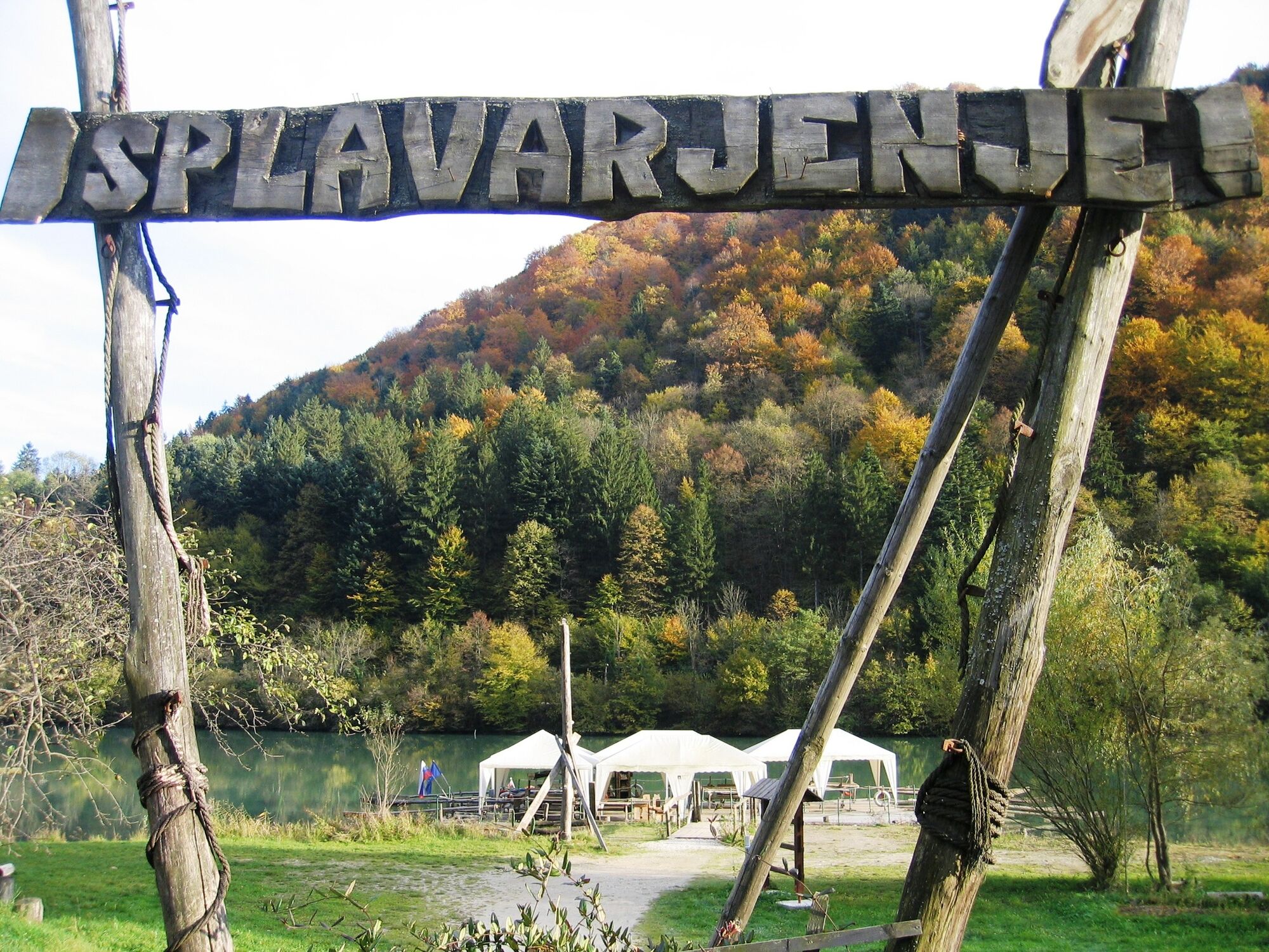
© Südsteiermark - Monika Kapun
- Brief description
-
Strecke 38 km
Fahrtzeit Ca. 3 Stunden
Höhenmeter 1050 m
Schwierigkeit Schwer
Kondition ****
Panorama *****
Beste Jahreszeit März-Oktober
Beschaffenheit ca. 20 % Asphalt, 77 % Schotter,
3 % Wiesen- und Waldweg - Difficulty
-
medium
- Rating
-
- Route
-
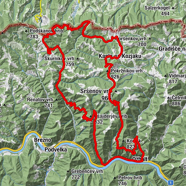
Gostilna ŠarmanSt. Oswald im Drauwald1.7 kmGostilna ob Dravi1.8 kmPokržnikov vrh (926 m)12.5 kmKapla na Kozjaku15.0 kmKogel (781 m)23.7 kmBrezni Vrh24.8 kmGostilna Šarman37.7 km
- Best season
-
JanFebMarAprMayJunJulAugSepOctNovDec
- Highest point
- 925 m
- Endpoint
-
Gasthof Šarman
- Height profile
-
 © outdooractive.com
- Author
-
The tour Flößerweg is used by outdooractive.com provided.
GPS Downloads


Other tours in the regions
-
Südsteiermark
138
-
Maribor-Pohorje
46
-
Podvelka
46