Tour data
7.32km
596
- 816m
295hm
298hm
02:07h

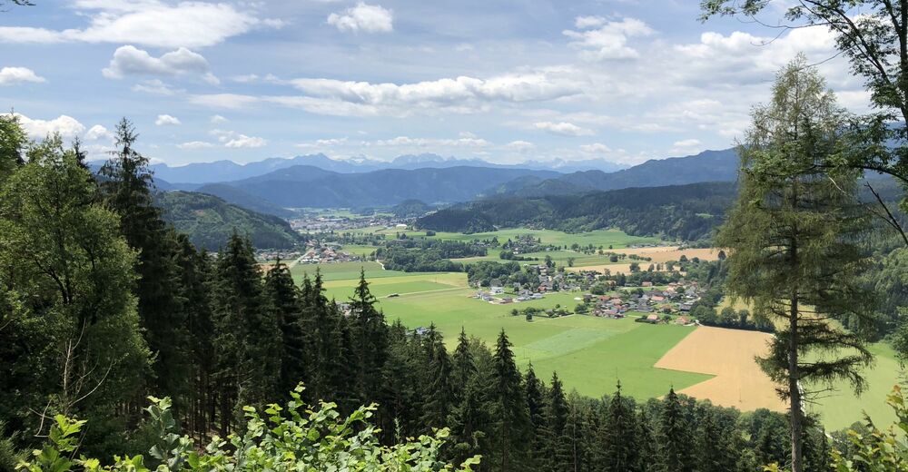
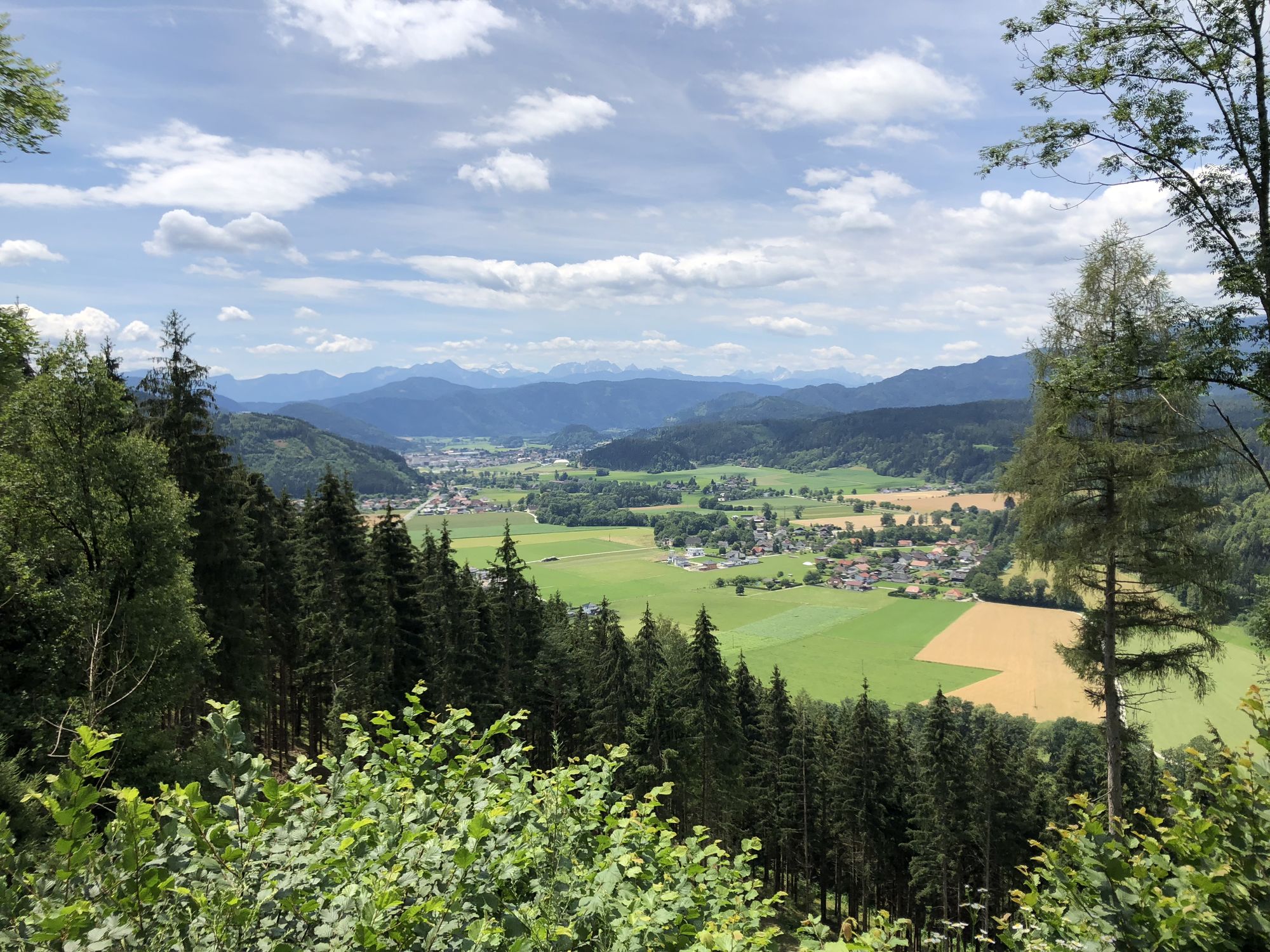
- Brief description
-
Wanderung
- Difficulty
-
medium
- Rating
-
- Starting point
-
St. Ulrich
- Route
-
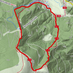
Pfarrkirche St. Ulrich bei Feldkirchen0.0 kmSankt Ulrich0.5 kmLang0.6 kmSankt Ulrich7.0 kmPfarrkirche St. Ulrich bei Feldkirchen7.2 km
- Best season
-
JanFebMarAprMayJunJulAugSepOctNovDec
- Highest point
- 816 m
- Endpoint
-
St. Ulrich
- Rest/Retreat
-
Gasthof Pizzeria Kreuzwirt in St. Ulrich.
Tel.Nr.: 04276 2562 - Ticket material
-
Feldkirchner Stadtplan erhältlich im Touristikbüro Feldkirchen.
Amthofgasse 3, 9560 Feldkirchen
Tel.Nr: 04276 2176, E-Mail: tourismus@feldkirchen.at
GPS Downloads


Trail conditions
Asphalt
Gravel
Meadow
Forest
Rock
Exposed
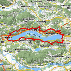
Other tours in the regions
-
Wörthersee - Rosental
1956
-
Feldkirchen und Umgebung
939
-
Steuerberg
132