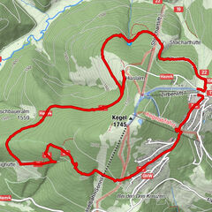

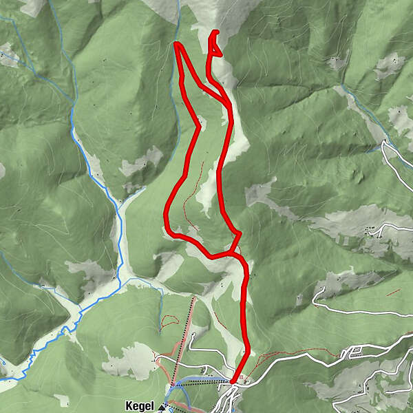
Tour data
12.45km
1,580
- 1,804m
281hm
281hm
03:15h
- Brief description
-
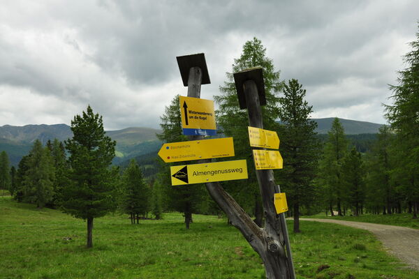
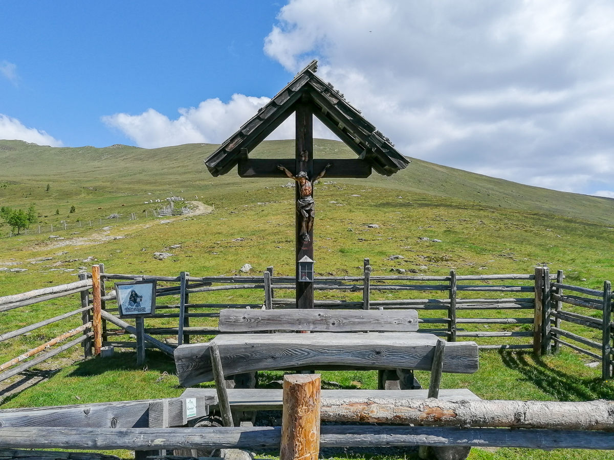
Wanderung vom Parkplatz - Hochrindl zum Weisen Kreuz
- Difficulty
-
medium
- Rating
-
- Route
-
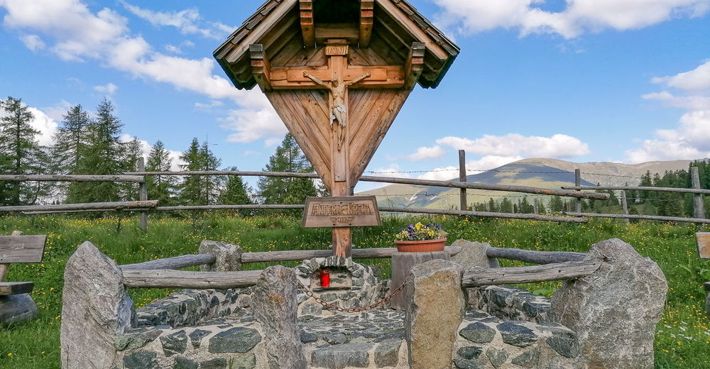
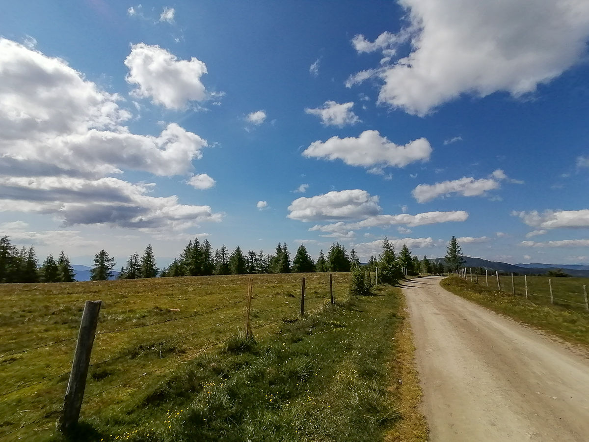
HochrindlAnderle-Kreuz1.1 kmHoishütte3.8 kmWeißes Kreuz (1,805 m)4.7 kmAnderle-Kreuz11.0 kmSternen Berg Gasthof12.3 kmHochrindl12.4 km
- Best season
-
JanFebMarAprMayJunJulAugSepOctNovDec
- Highest point
- 1,804 m

GPS Downloads


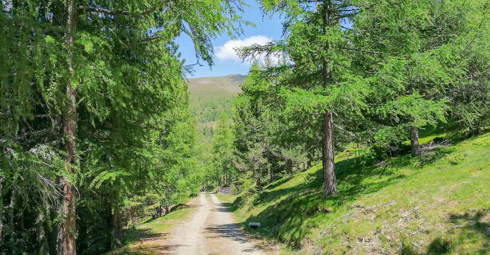
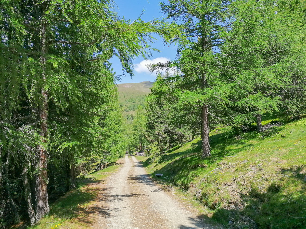
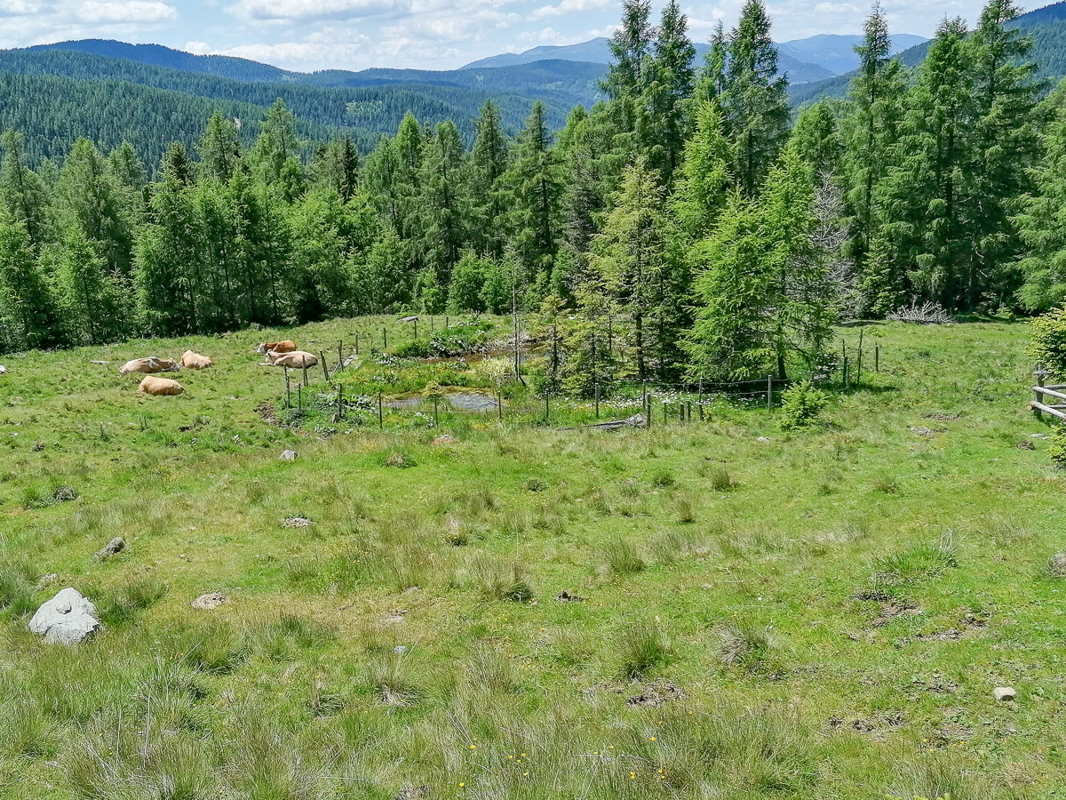
Trail conditions
Asphalt
Gravel
(ca. 80%)
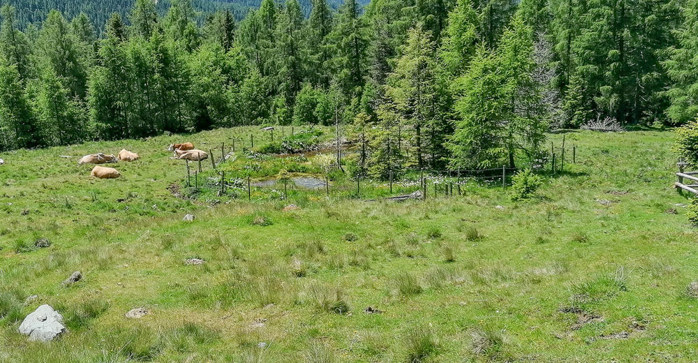
Meadow
(ca. 20%)
Forest
Rock
Exposed
Other tours in the regions