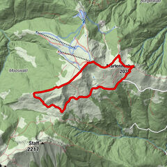


Tour data
6.97km
582
- 1,497m
925hm
925hm
02:30h

- Brief description
-
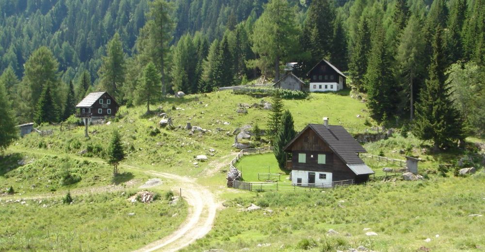
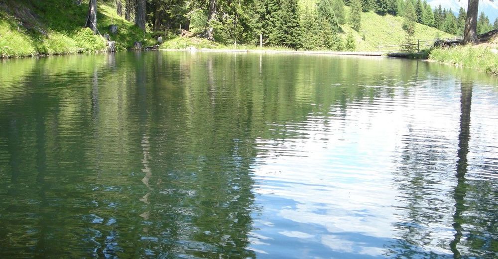
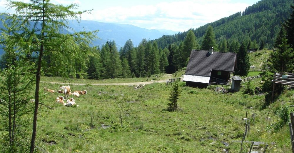
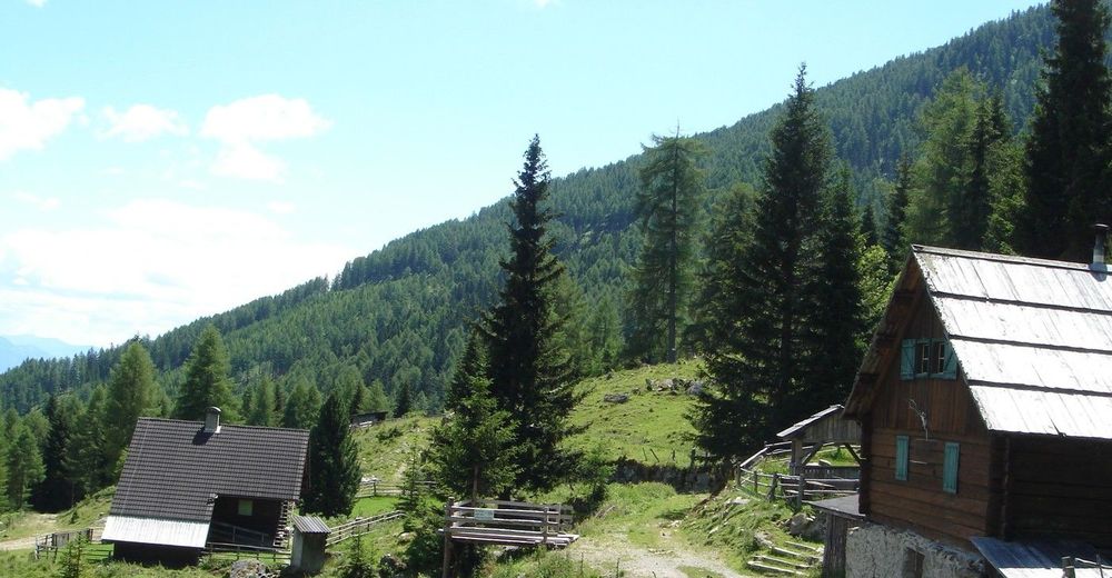
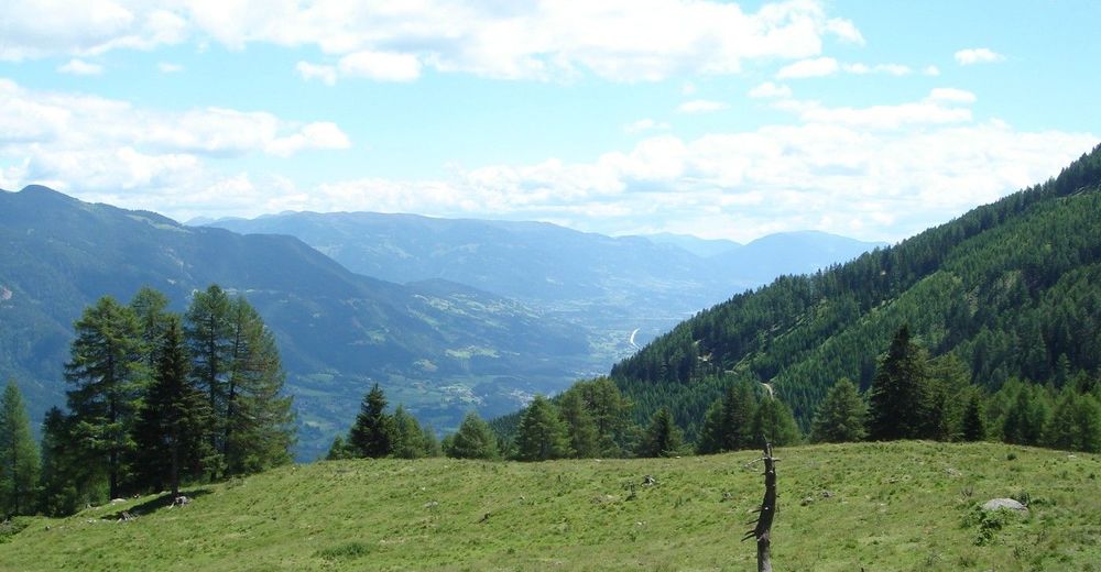
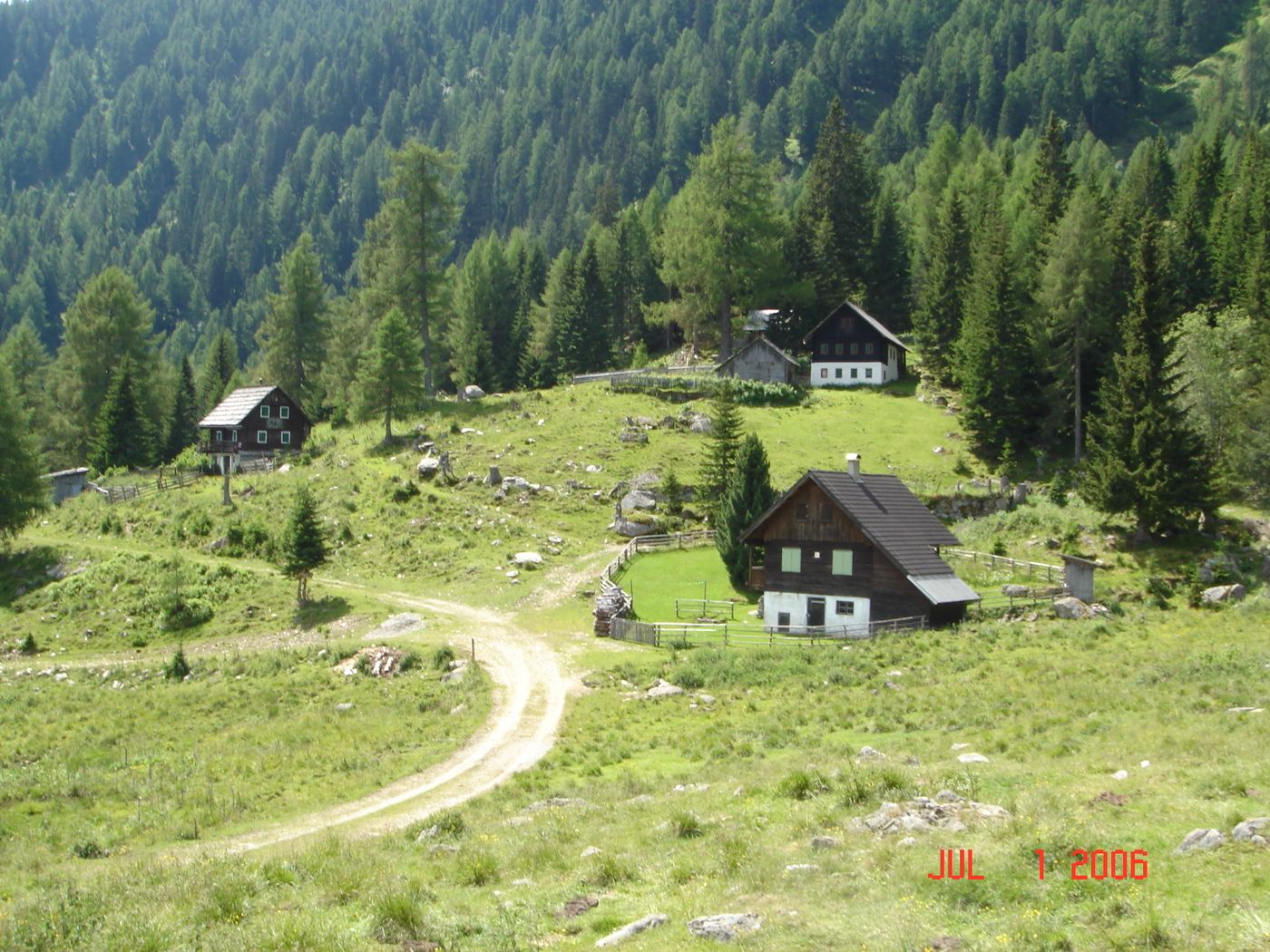
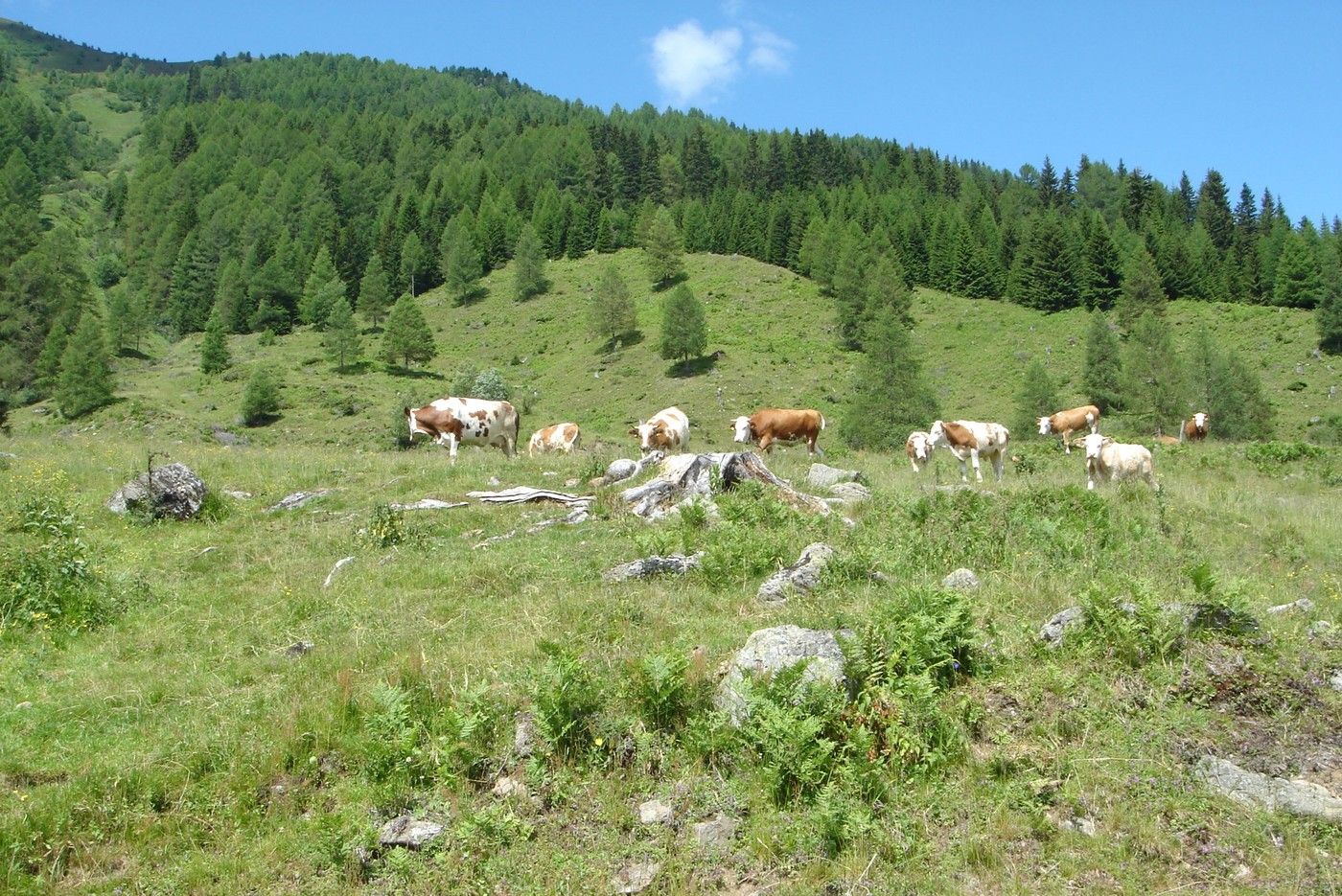
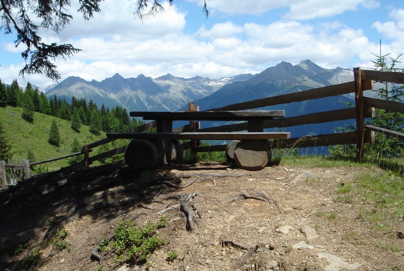
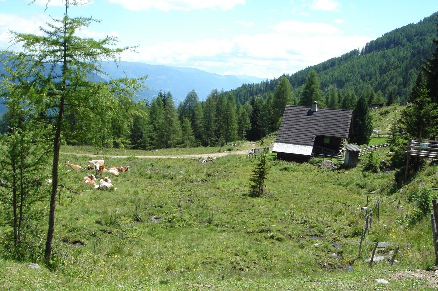
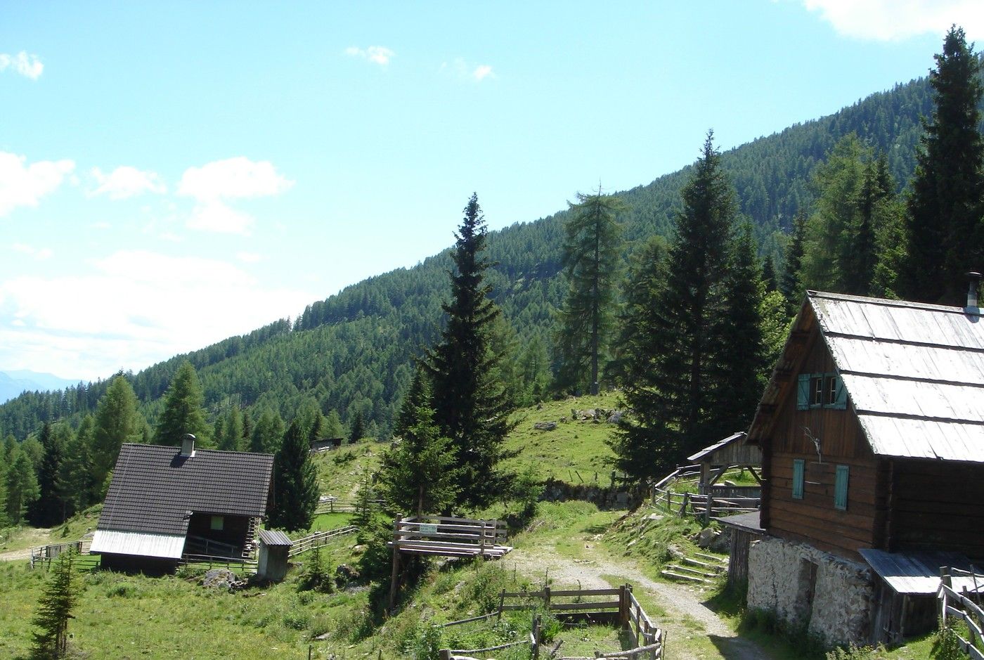
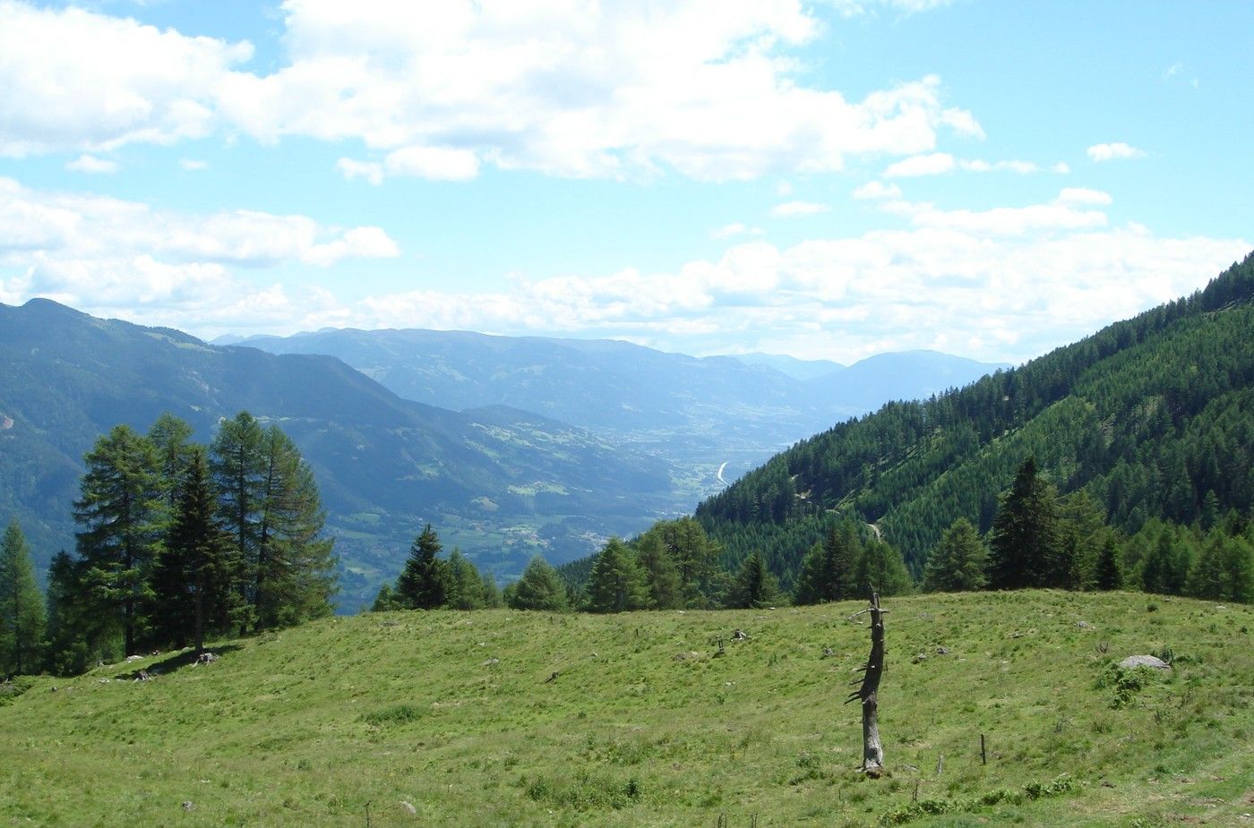
Von Mühldorf durch den Wald zur Mühldorfer Alm.
- Difficulty
-
easy
- Rating
-
- Starting point
-
Mühldorf
- Route
-
Pfarrkirche hl. Veit0.1 kmGasthaus "Zum Richter"0.1 kmMühldorf0.5 kmMühldorfer Alm6.9 km
- Best season
-
JanFebMarAprMayJunJulAugSepOctNovDec
- Highest point
- 1,497 m
- Rest/Retreat
-
Jausenstation Klinghütte (Mühldorfer Alm): +43 (0)4769 2244
GPS Downloads


Trail conditions
Asphalt
Gravel
Meadow
Forest
Rock
Exposed
Other tours in the regions