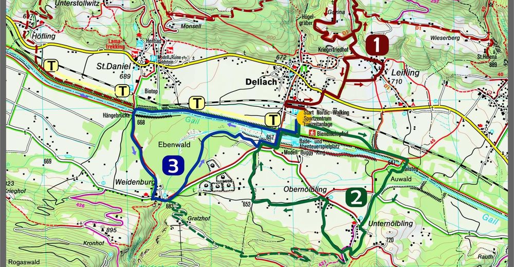
Tour data
18.27km
648
- 1,143m
700hm
702hm
04:30h
- Brief description
-
Wanderweg "Goldberg-Höhenwanderweg" mit herrlichem Panoramablick
- Difficulty
-
difficult
- Rating
-
- Starting point
-
Höfling Höhe Gasthof/Pension Birkenhof
- Route
-
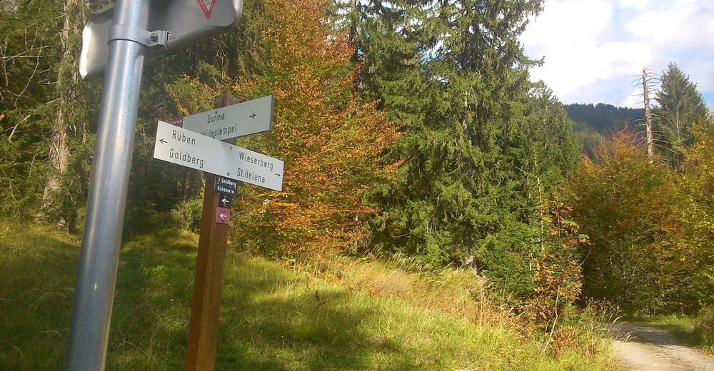
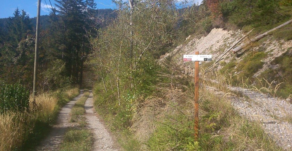
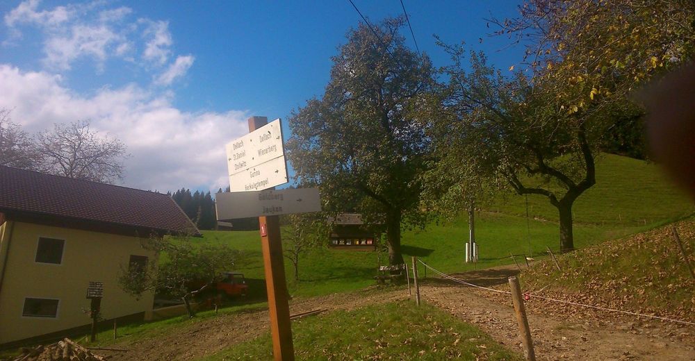
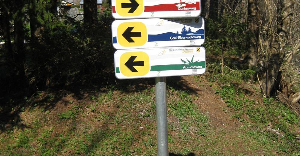
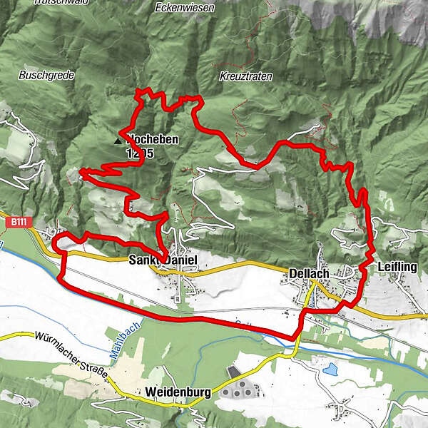
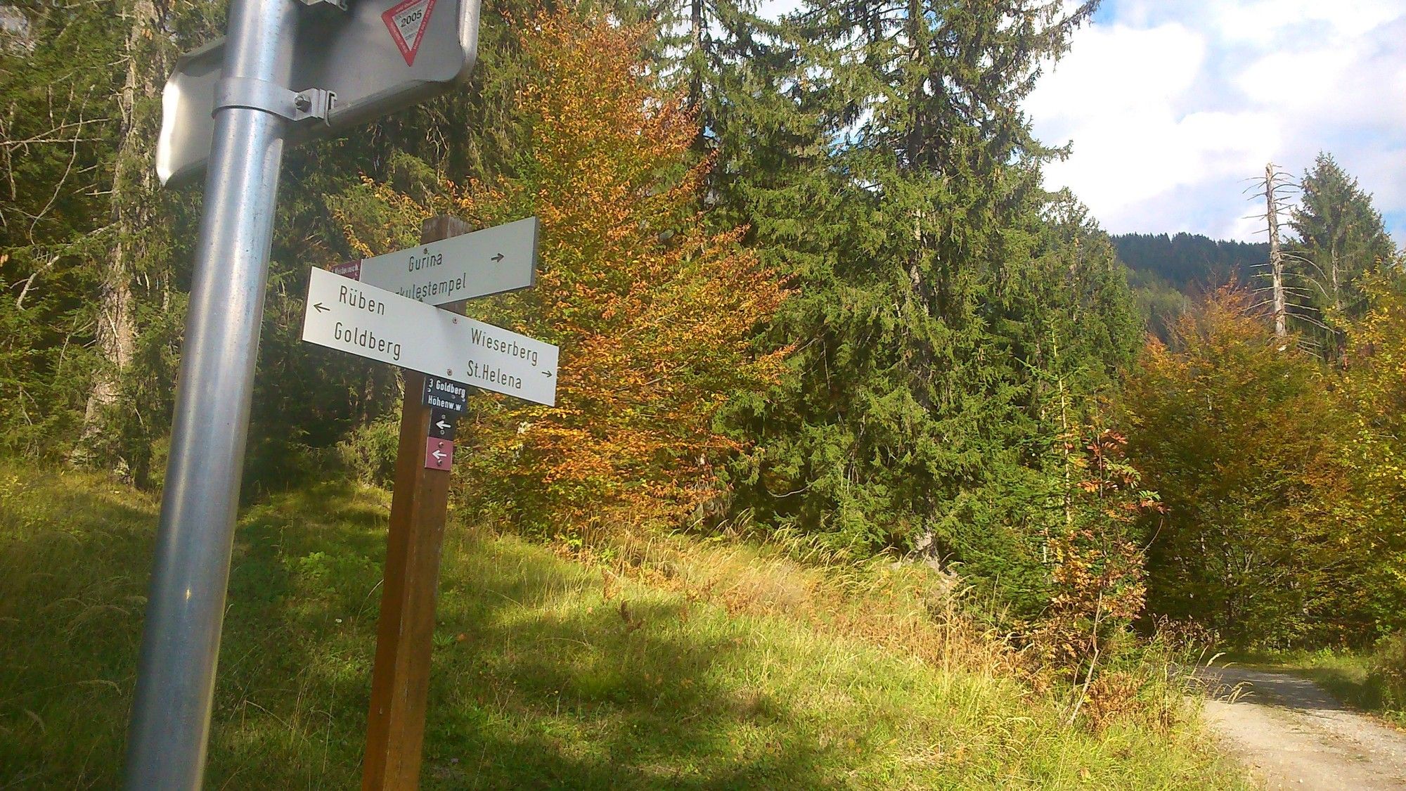
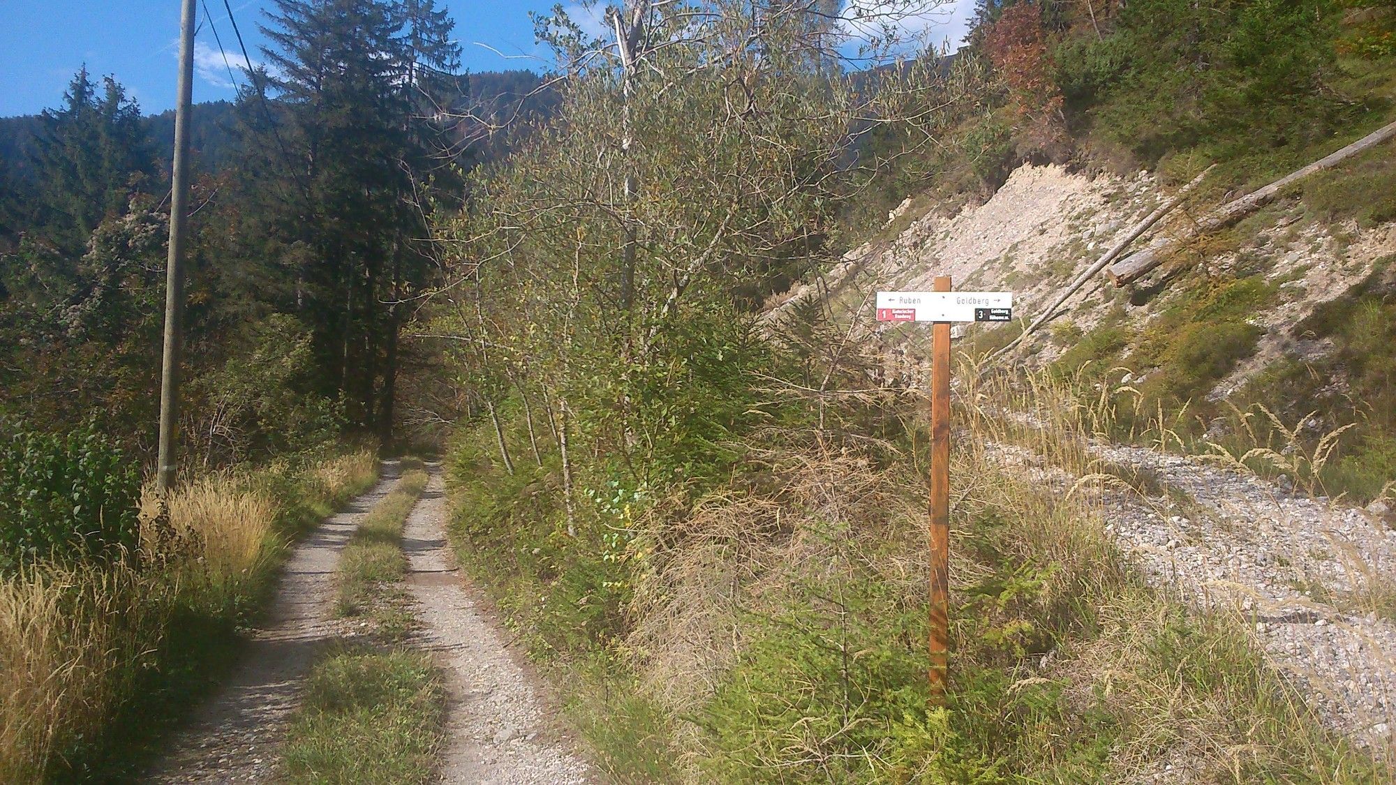
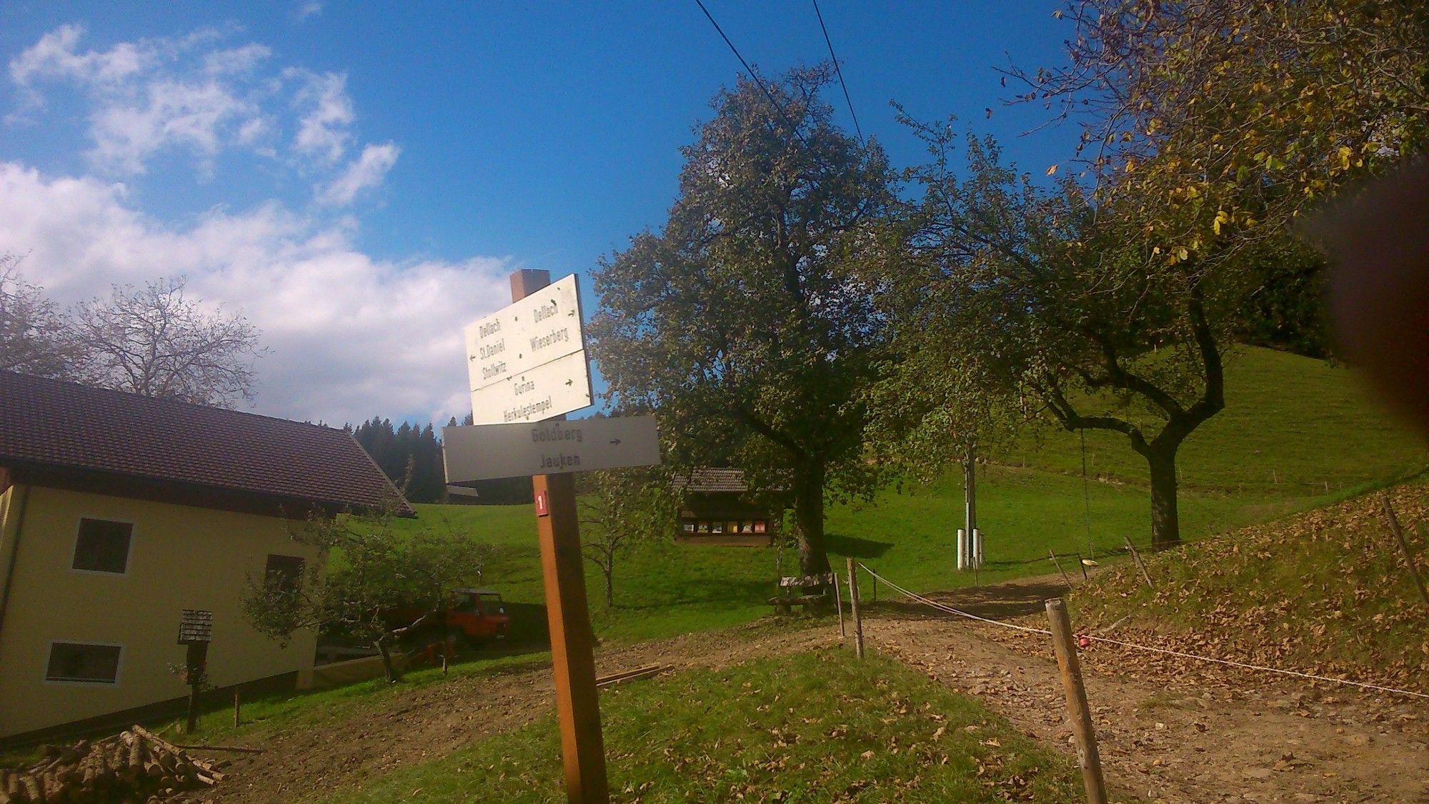
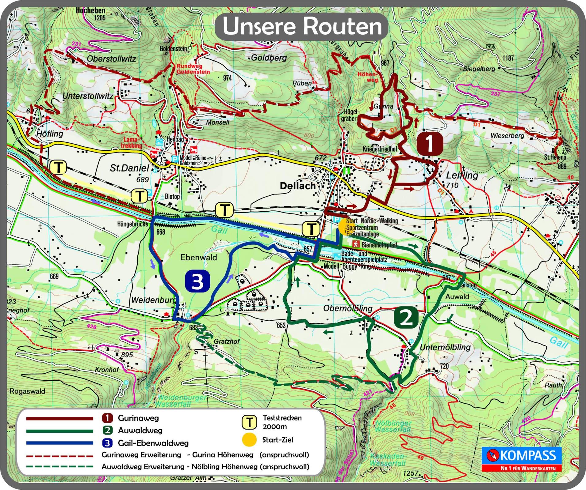
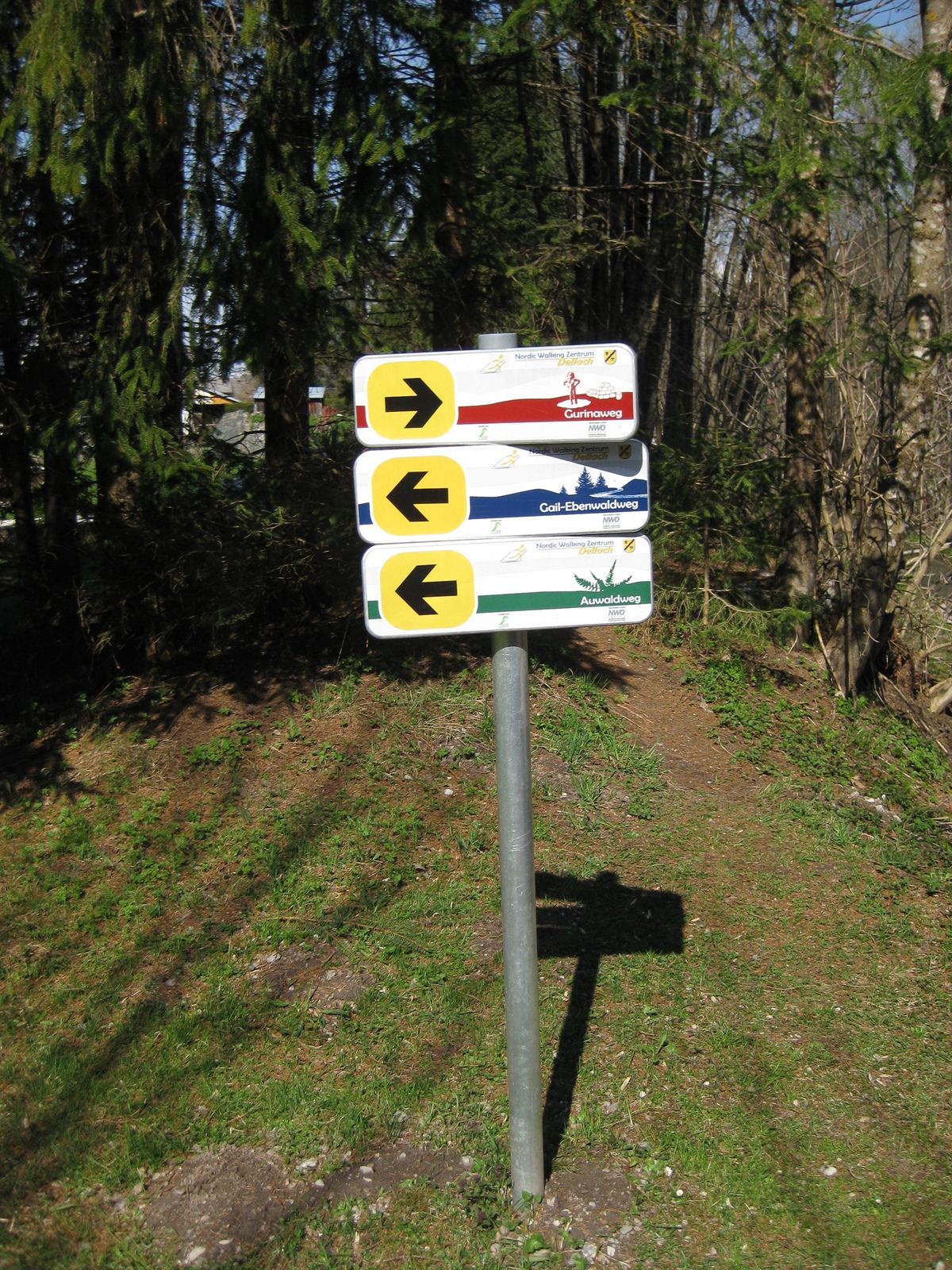
Höfling0.0 kmSankt Daniel1.6 kmStollwitz2.9 kmGoldberg9.1 kmGurina12.2 kmLeifling12.7 kmDellach im Gailtal (655 m)13.8 kmDellach14.1 kmHöfling18.2 km
- Best season
-
JanFebMarAprMayJunJulAugSepOctNovDec
- Highest point
- 1,143 m
- Endpoint
-
Höfling Höhe Gasthof/Pension Birkenhof
- Rest/Retreat
-
Einkehrmöglichkeiten entlang der Strecke:
Gasthof Grünwald - St. Daniel
Gasthof Lenzhofer - Dellach
Dellacher Dorfwirt - Dellach
Jausenstation Stefan - Dellach
- Ticket material
-
Tourismusbüro Dellach - Ortszentrum Dellach Tel.: 04718/301

- Source
- S.B.
GPS Downloads


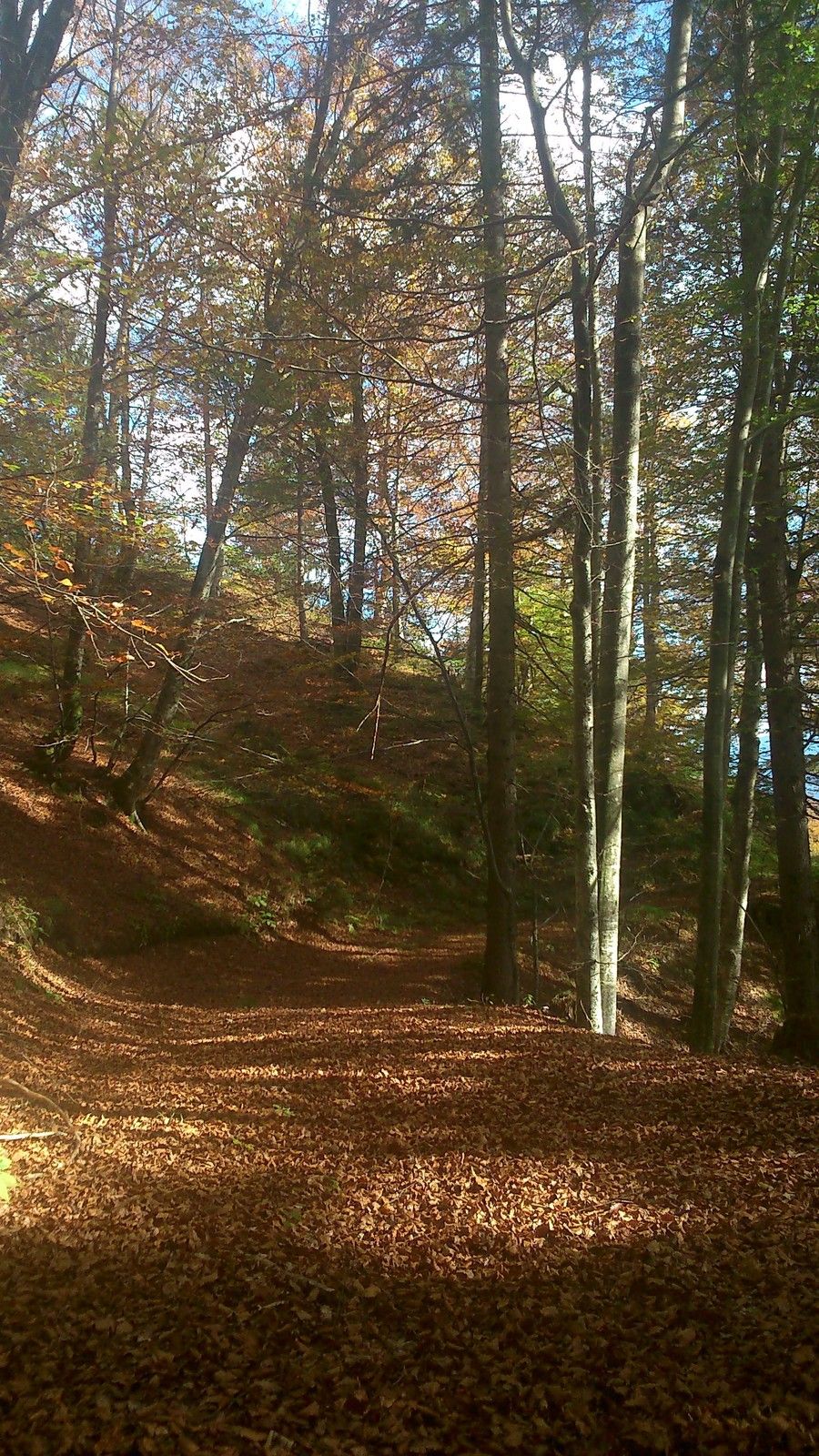
Trail conditions
Asphalt
(12,3)
Gravel
(1,7)
Meadow
Forest
(3,5)
Rock
Exposed
Other tours in the regions