© vaude/Tobias Hauser - Carnica-Region Rosental

© Carnica-Region Rosental
© arco/tina tomasch - Carnica-Region Rosental

© Franz Gerdl - Carnica-Region Rosental
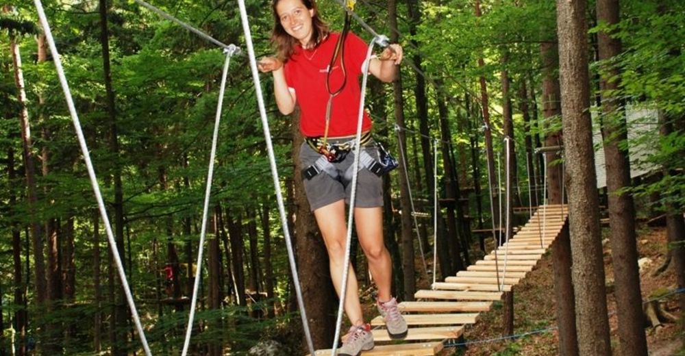
© Waldseilpark Tscheppaschlucht - Carnica-Region Rosental

© Franz Gerdl/ Carnica-Region Rosental - Carnica-Region Rosental
Tour data
5.9km
571
- 983m
334hm
57hm
02:00h

- Brief description
-
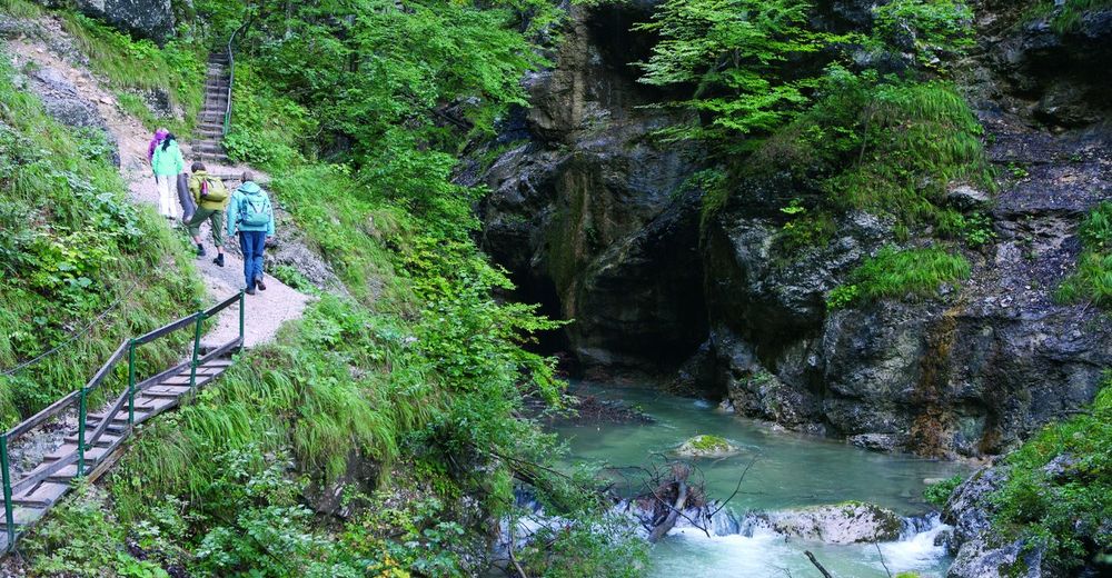
Naturerlebnis pur - stürzende Wasser, steile Wände und tolle Einblicke in die einmalige Pflanzenwelt.
- Difficulty
-
easy
- Rating
-
- Starting point
-
P Tscheppaschlucht
- Route
-
Sapotnica2.9 kmTschaukofall3.0 km
- Highest point
- 983 m
- Rest/Retreat
-
Gasthöfe im Boden- und im Loibltal sowie Windisch Bleiberg
- Ticket material
-
WK 234 von Freytag und Berndt, Carnica-Region Rosental
Sponheimer Platz 1, 9170 Ferlach


GPS Downloads


Trail conditions
Asphalt
Gravel
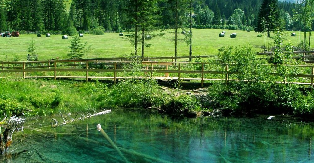
Meadow
Forest
Rock
Exposed
Other tours in the regions
-
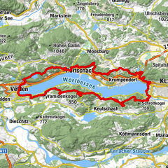
Wörthersee - Rosental
1956
-
Bodental
278