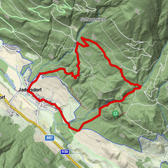
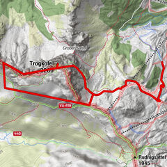
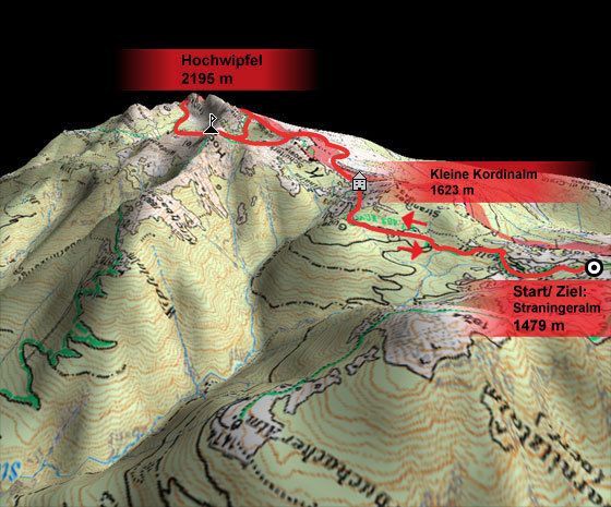
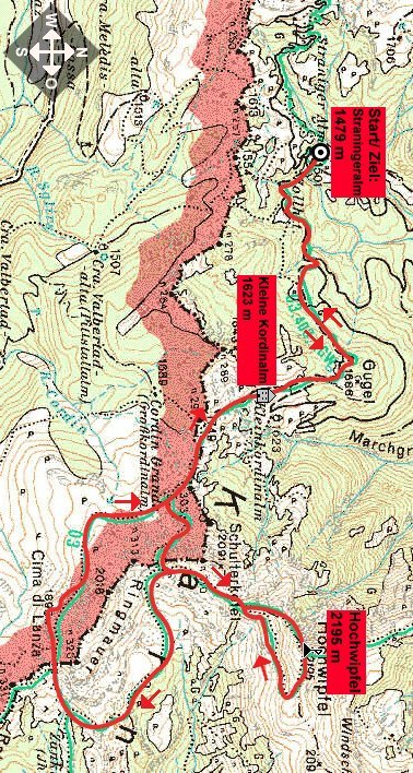
Tour data
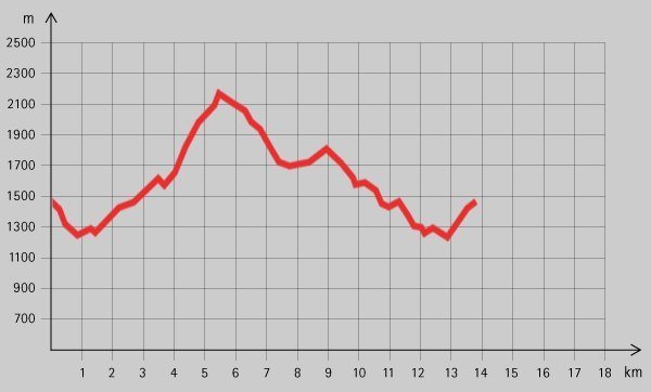
14.02km
- 2,195m
800hm
05:00h
- Brief description
-
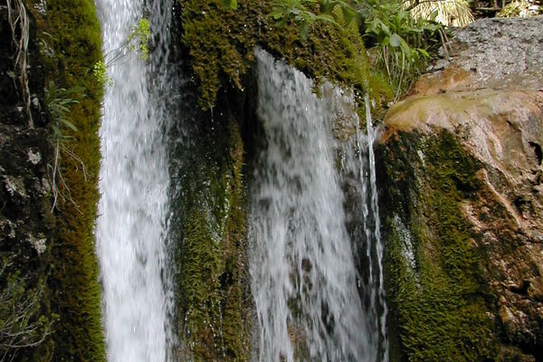
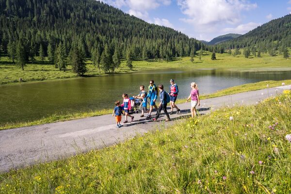
Schöne Wanderung entlang der Grenze mit toller Aussichtsstelle und Einkehrmöglichkeit entlang der Stecke.
- Rating
-
- Starting point
-
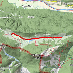
Straningeralm (1479 m)
- Highest point
- 2,195 m
- Rest/Retreat
-
Straningeralm, Kleine Kordinalm;
- Ticket material
GPS Downloads


Trail conditions
Asphalt
Gravel
Meadow
Forest
Rock
Exposed
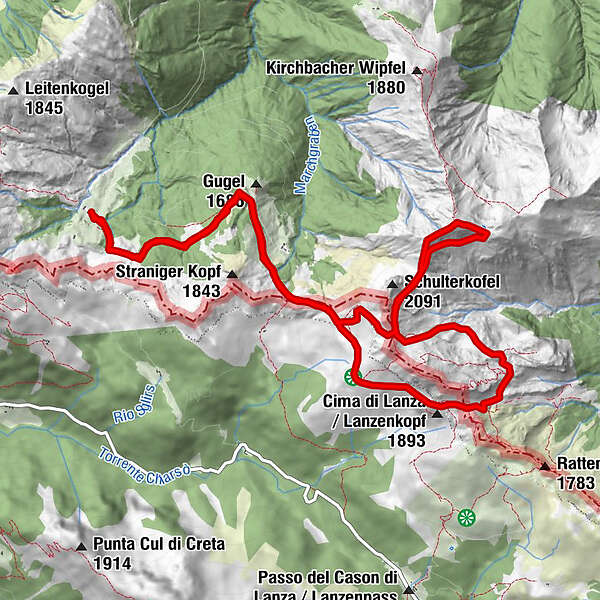
Other tours in the regions