
Tour data
4.21km
1,186
- 2,098m
953hm
953hm
05:45h
- Brief description
-
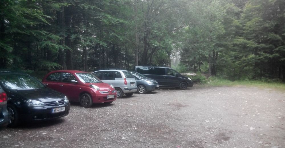
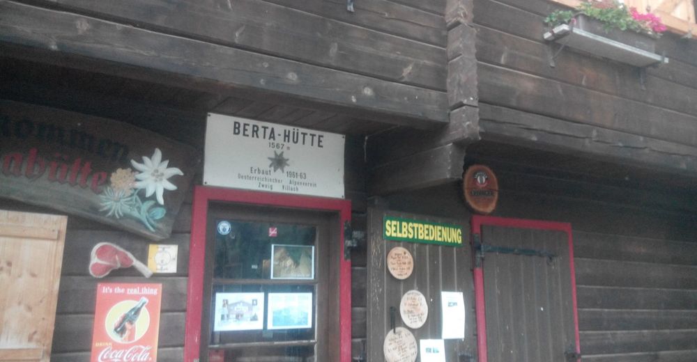
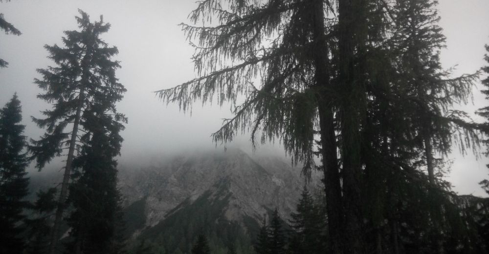
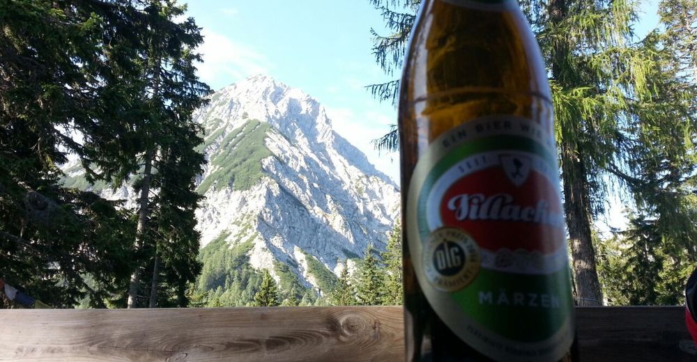
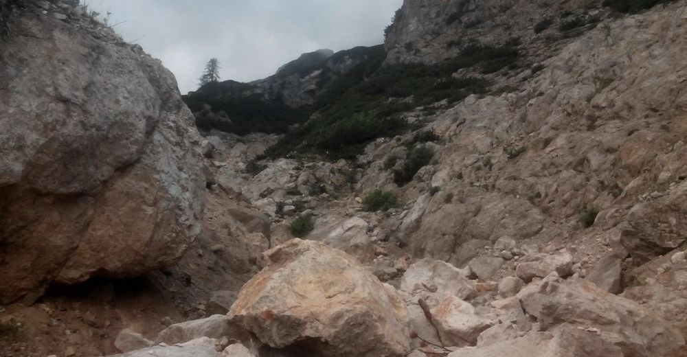
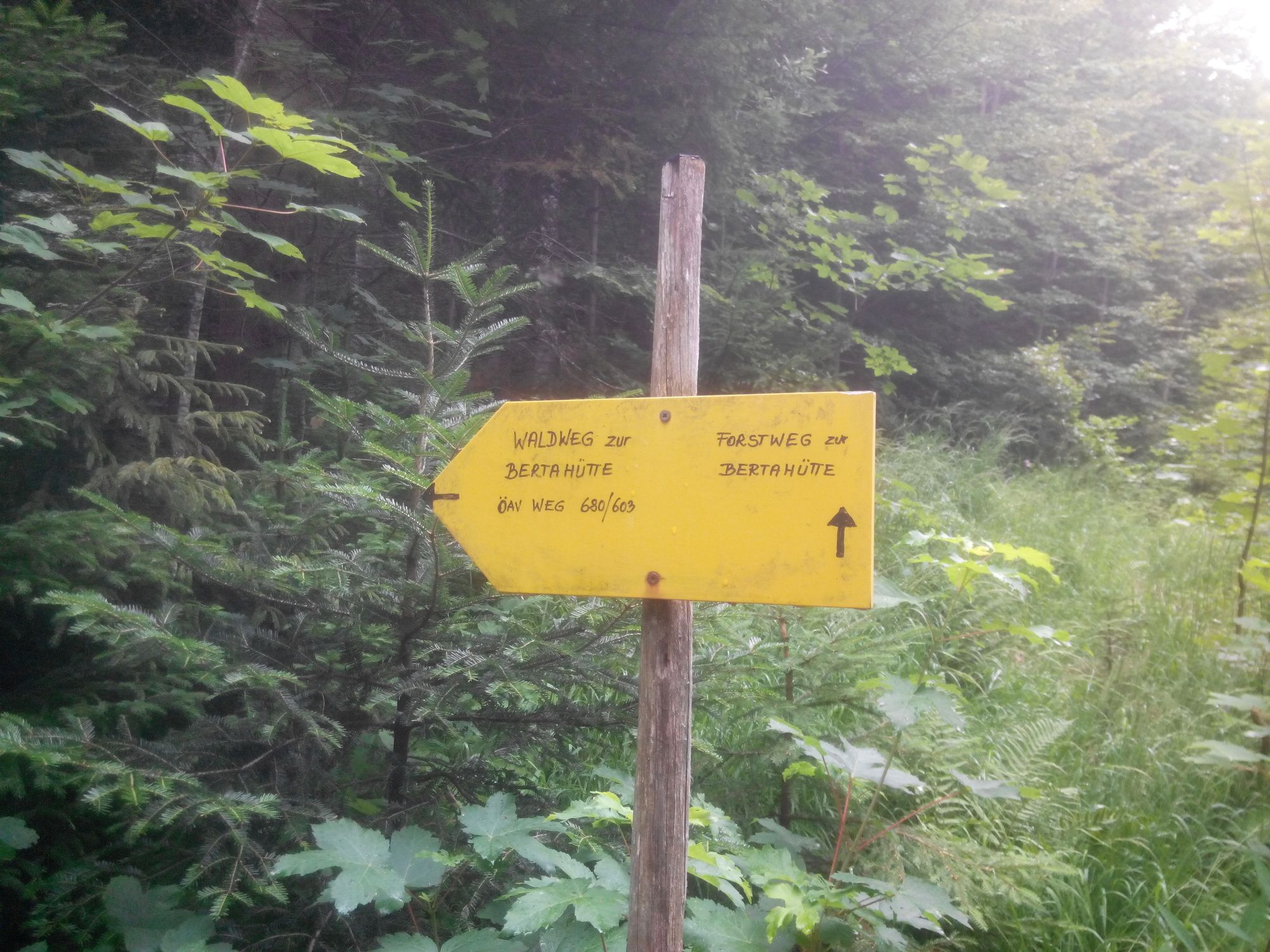
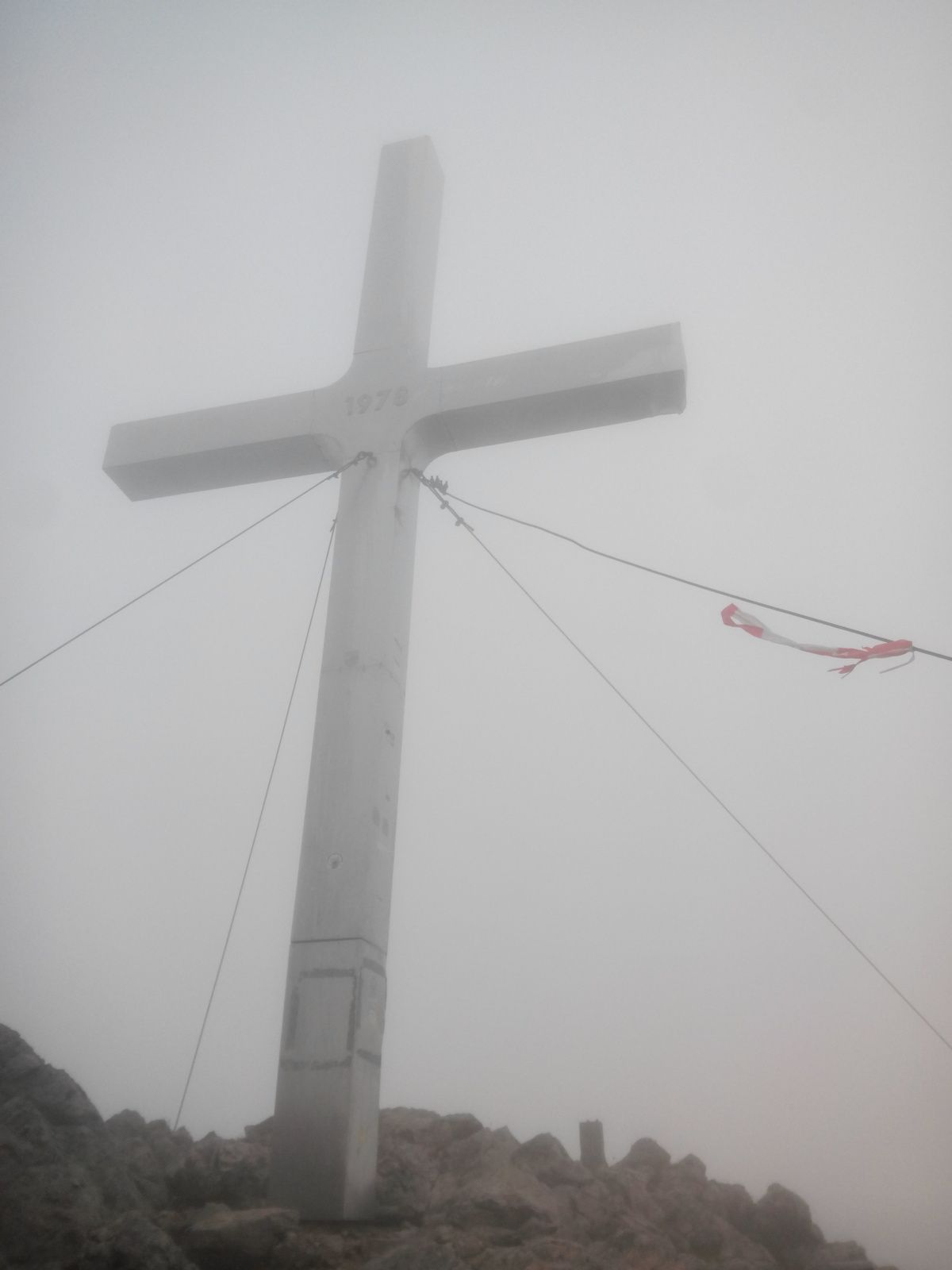
Vom Parkplatz Bertahütte (ca. 1200m) auf den Gipfel des Mittagskogel (2145 m)
- Difficulty
-
difficult
- Rating
-
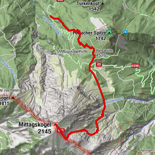
- Route
-
Bertahütte1.4 kmMittagskogel (2,145 m)4.2 km
- Best season
-
JanFebMarAprMayJunJulAugSepOctNovDec
- Highest point
- Gipfel Mittagskogel (2,098 m)
- Rest/Retreat
-
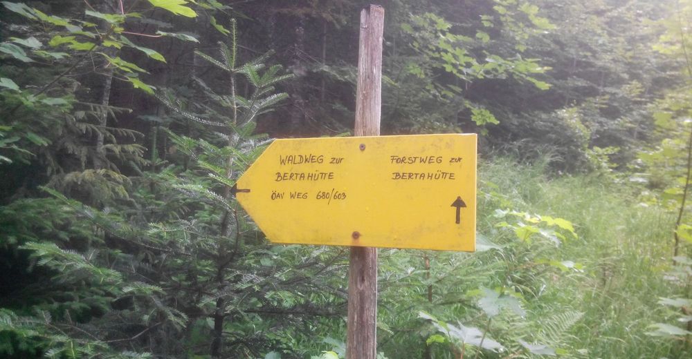
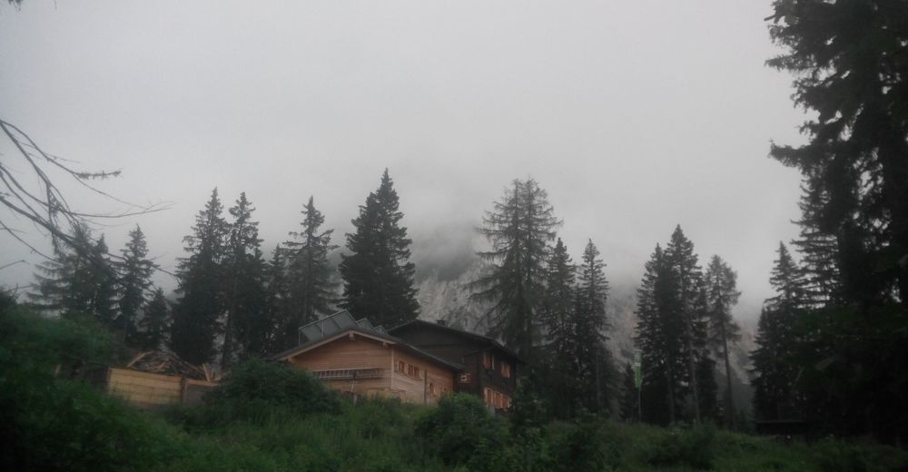
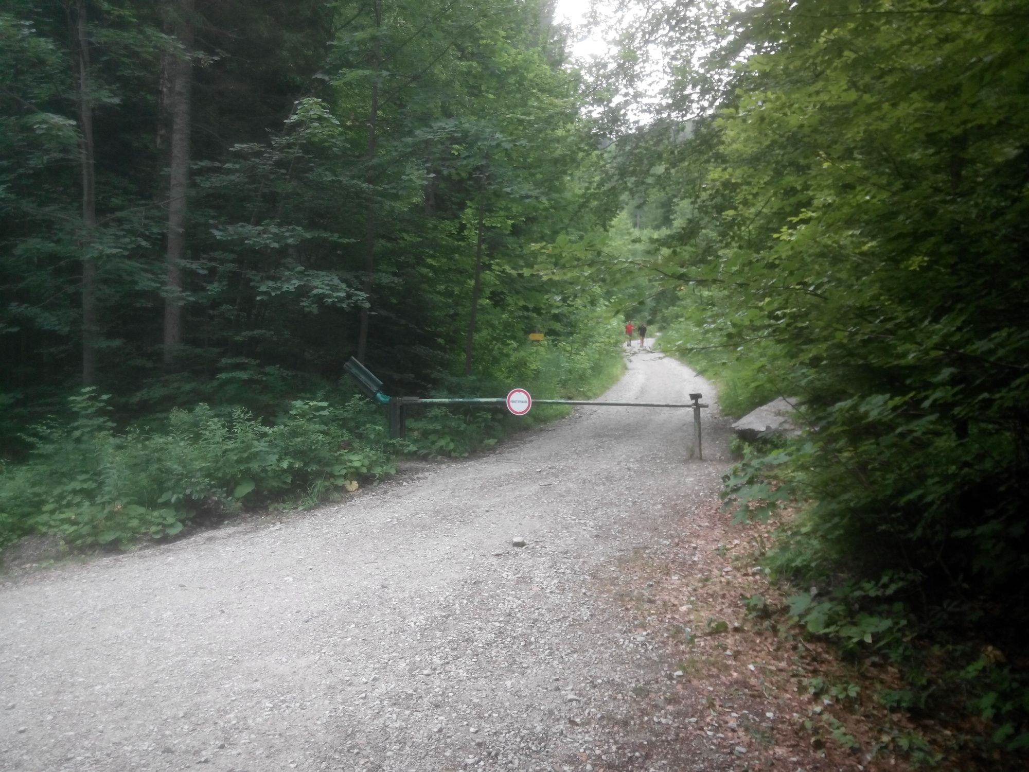
Bertahütte vom Parkplatz ca. 40 min,


GPS Downloads


Other tours in the regions


