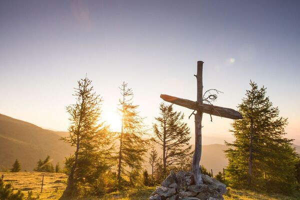
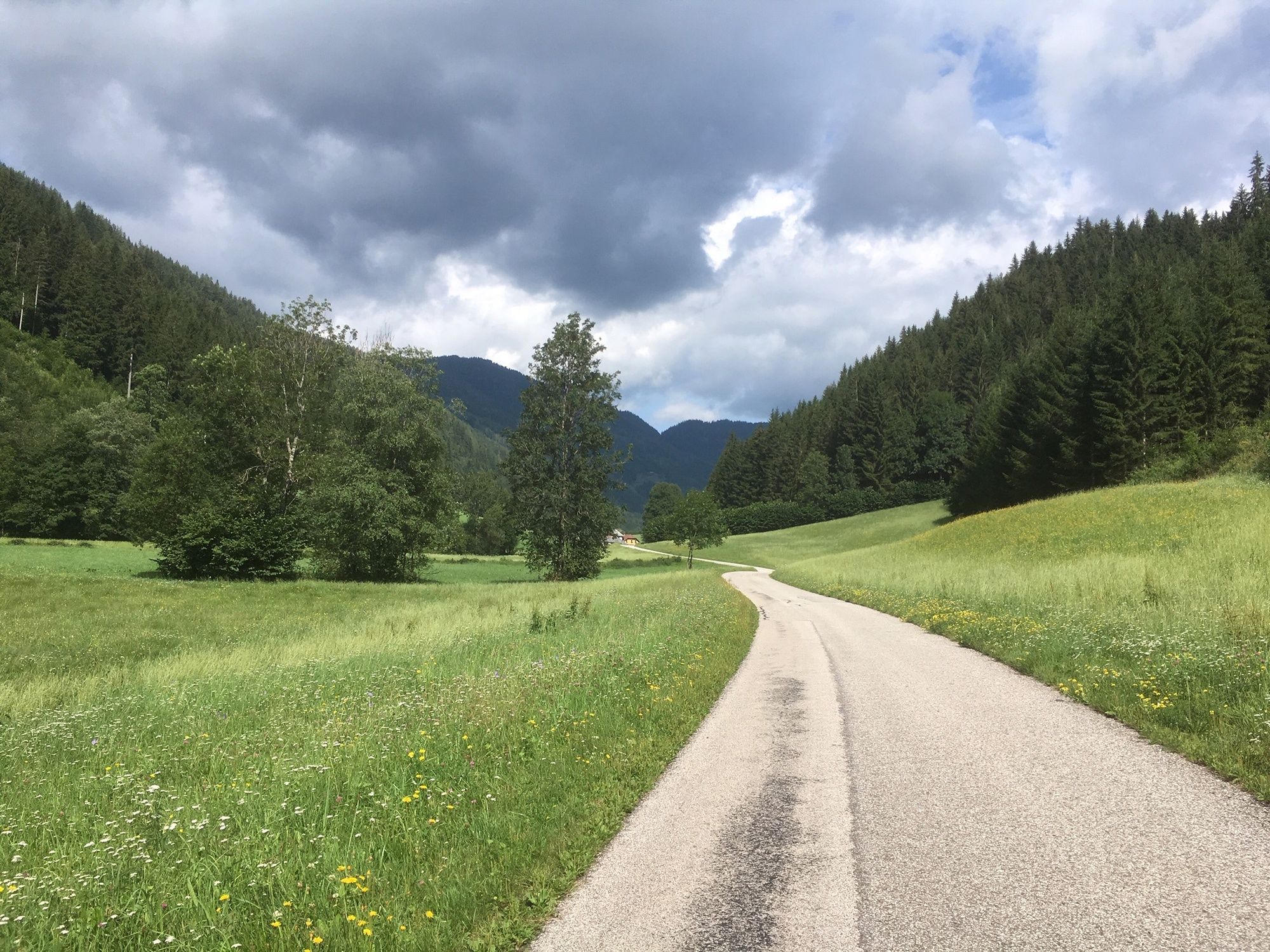
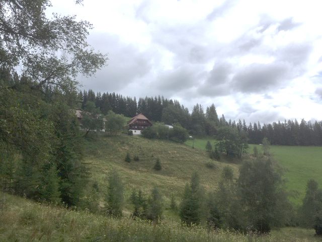
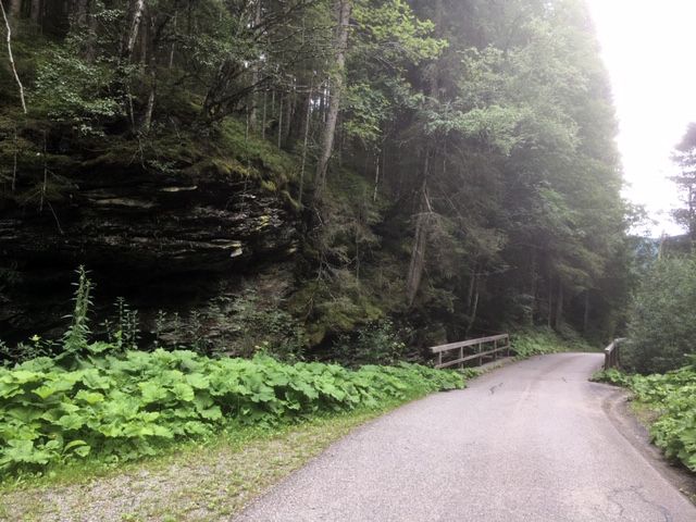
© Mittelkärnten - Gerhard Cerne
© Mittelkärnten - Gerhard Cerne
© Mittelkärnten - Gerhard Cerne
© Mittelkärnten - Gerhard Cerne

© Mittelkärnten - Tourismusregion Mittelkärnten

- Brief description
-
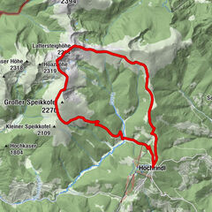
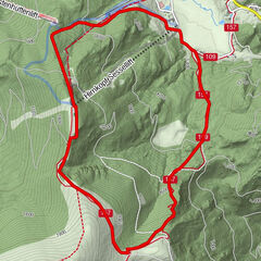
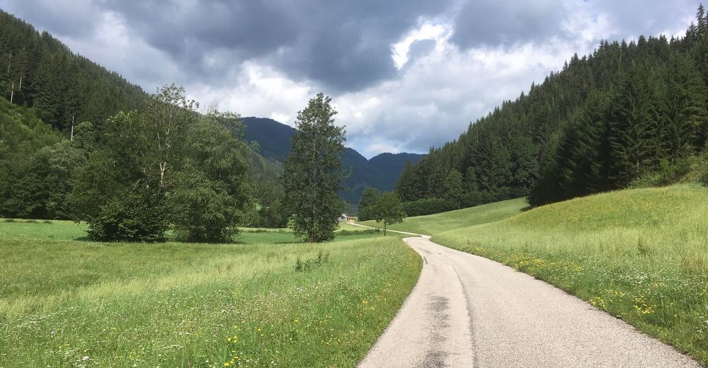
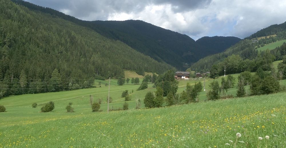
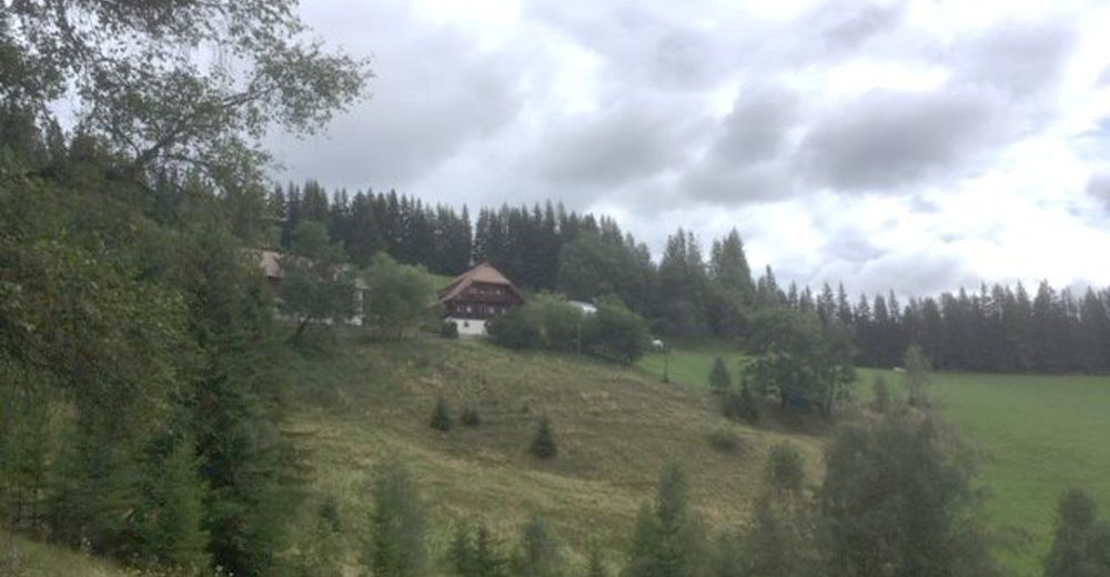
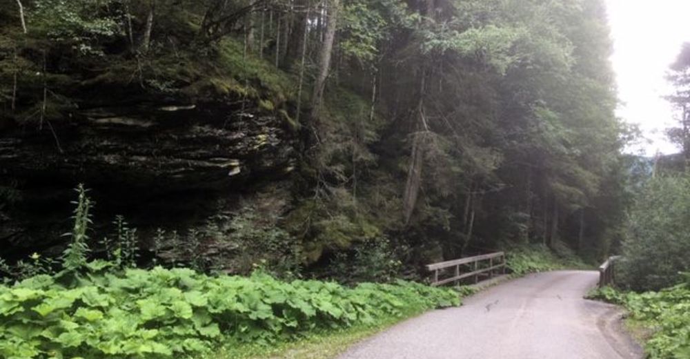
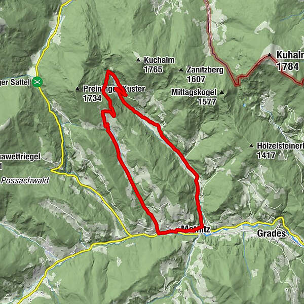
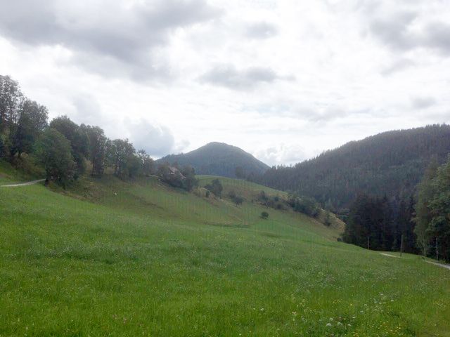
Wanderung von Metnitz den Teichlbach entlang, dann bergauf zum Hausharter und über Preining zurück nach Metnitz.
- Difficulty
-
medium
- Rating
-
- Route
-
MetnitzerhofMetnitz0.0 kmTeichl1.4 kmMetnitz16.2 km
- Best season
-
JanFebMarAprMayJunJulAugSepOctNovDec
- Highest point
- 1,315 m
- Endpoint
-
Marktplatz Metnitz
- Height profile
-


- Author
-
The tour Von Metnitz in die Teichl und zurück über Preining (9) is used by outdooractive.com provided.
GPS Downloads


General info
Refreshment stop
A lot of view
Other tours in the regions