© Region Wörthersee-Rosental Tourismus GmbH - Anna Wutte

© Region Wörthersee-Rosental Tourismus GmbH - Sissi Wutte

© Region Wörthersee-Rosental Tourismus GmbH - Sissi Wutte

© Region Wörthersee-Rosental Tourismus GmbH - Sissi Wutte

© Region Wörthersee-Rosental Tourismus GmbH - Sissi Wutte

© Region Wörthersee-Rosental Tourismus GmbH - Sissi Wutte

© Region Wörthersee-Rosental Tourismus GmbH - Sissi Wutte

© Region Wörthersee-Rosental Tourismus GmbH - Sissi Wutte

- Brief description
-
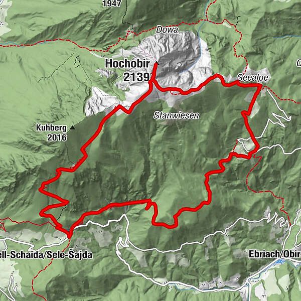
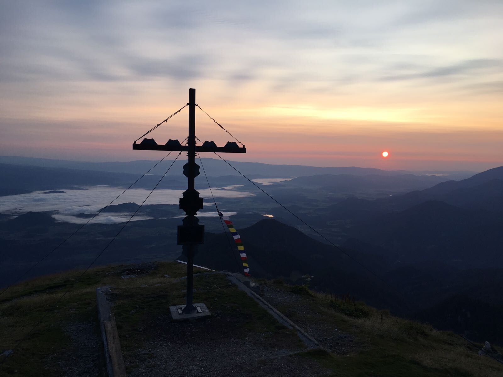
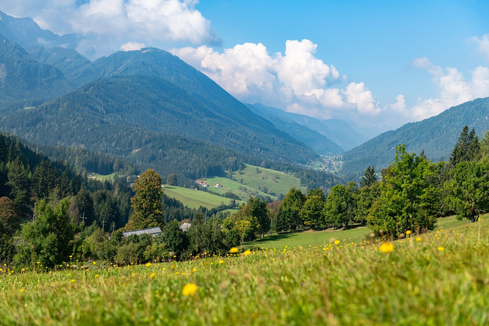
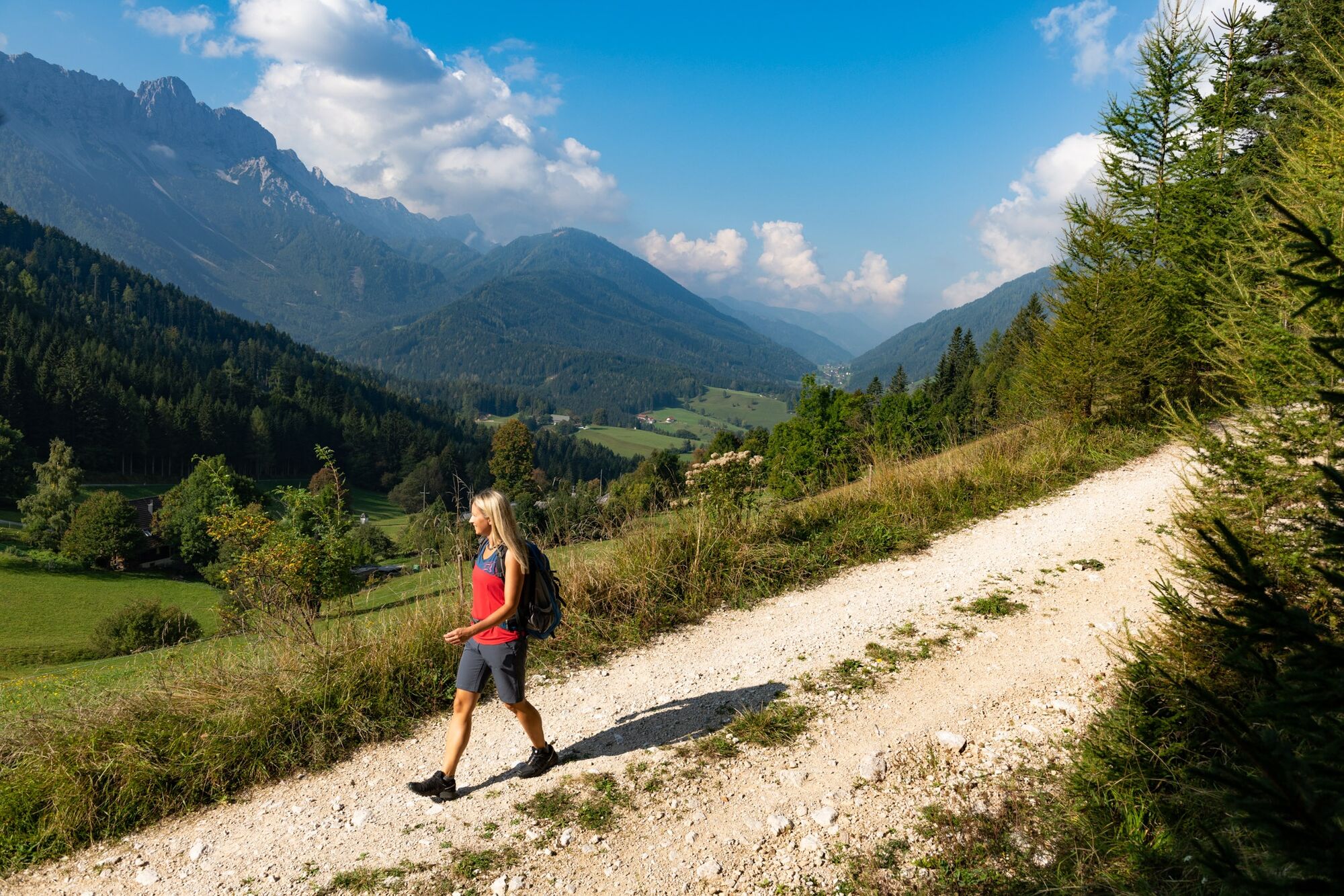
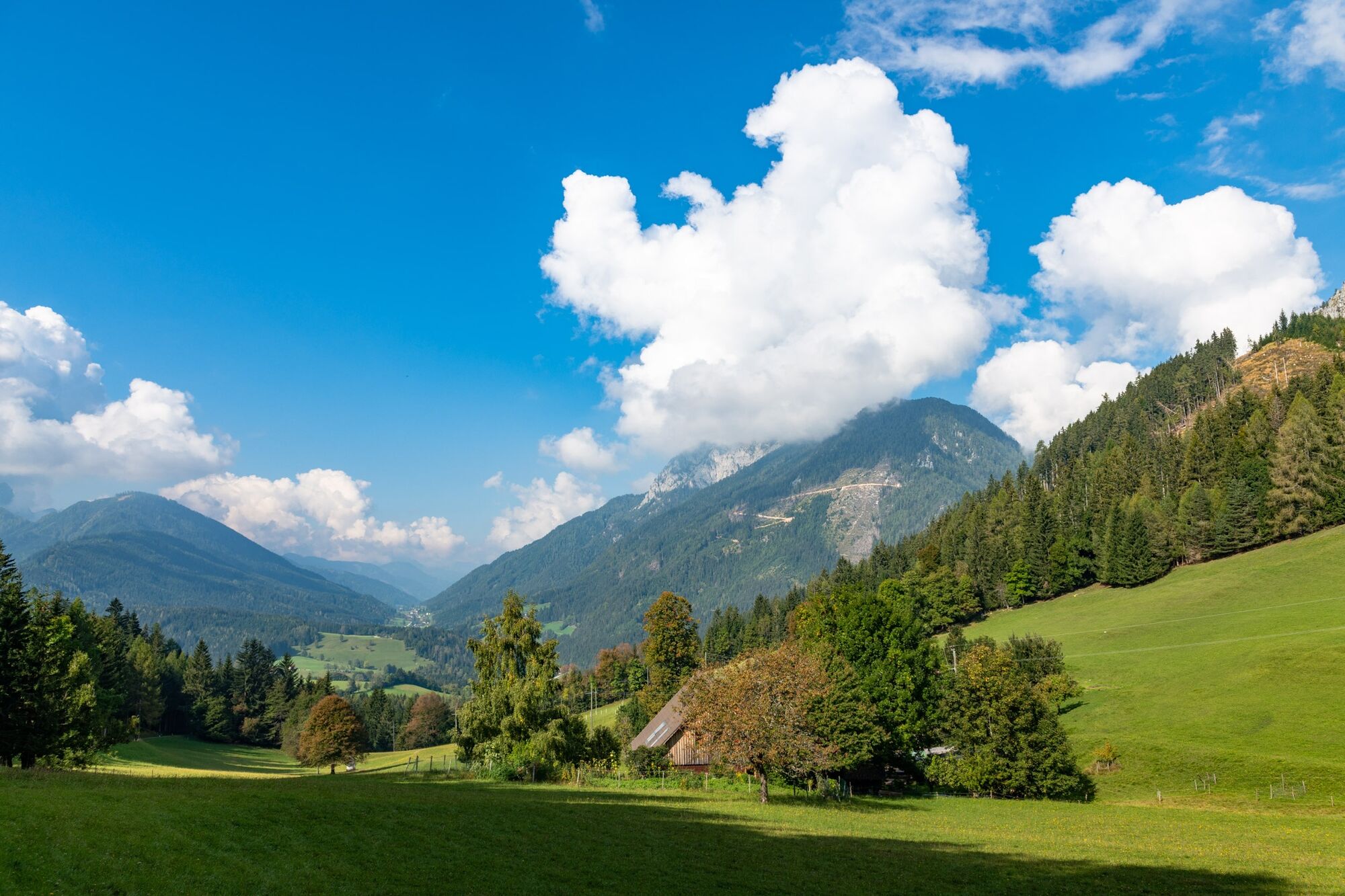
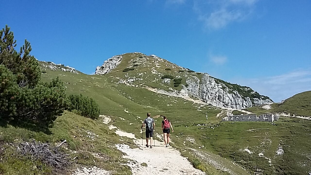
Die Wanderung auf den Hochobir verspricht begeisternde Aussichtspunkte und ein schönes Gipfelerlebnis.
- Difficulty
-
difficult
- Rating
-
- Route
-
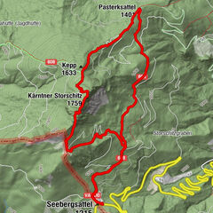
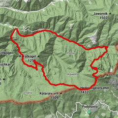
Hochobir (2,139 m)5.6 kmKalte Quelle6.6 kmKraguljše (1,828 m)7.3 kmEisenkappler Hütte (1,533 m)8.3 kmObiralm (1,272 m)9.8 kmSchaidasattel (1,068 m)15.2 km
- Best season
-
JanFebMarAprMayJunJulAugSepOctNovDec
- Highest point
- 2,136 m
- Endpoint
-
Schaidasattel
- Height profile
-


-

-
AuthorThe tour Aussichtsberg Hochobir is used by outdooractive.com provided.
GPS Downloads


General info
Refreshment stop
A lot of view
Other tours in the regions
-
Klopeiner See - Südkärnten
1159
-
Gallizien
137