© Tourismusverband Lieser-Maltatal - Elisabeth Ott

- Brief description
-
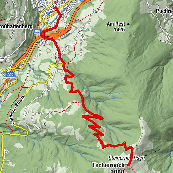
Eine schöne Bergtour/Wanderung auf den Tschiernock.
- Difficulty
-
difficult
- Rating
-
- Route
-
GmündDreieinigkeitskirche0.3 kmMoostratte0.8 kmLandfraß2.1 kmGasthof Moser-Jagawirt2.3 kmTschiernock (2,088 m)10.6 kmGasthof Moser-Jagawirt18.8 kmLandfraß18.9 kmMoostratte20.3 kmDreieinigkeitskirche20.7 kmGmünd21.1 km
- Best season
-
JanFebMarAprMayJunJulAugSepOctNovDec
- Highest point
- 2,083 m
- Endpoint
-
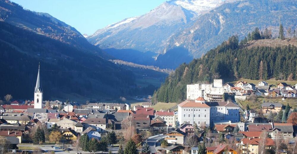
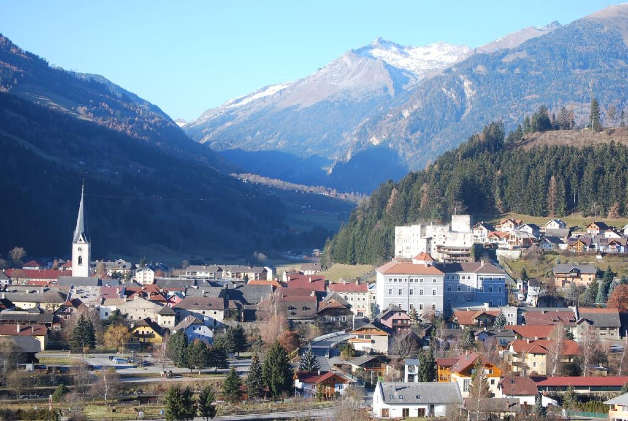
Rathaus Gmünd in Kärnten
- Height profile
-

- Author
-
The tour Bergtour auf den Tschiernock is used by outdooractive.com provided.
GPS Downloads


General info
A lot of view
Other tours in the regions