© Hohe Tauern - die Nationalpark-Region in Kärnten Tourismus GmbH - Tanja Weiß-Thalmann

© Hohe Tauern - die Nationalpark-Region in Kärnten Tourismus GmbH - Tanja Weiß-Thalmann
Tour data
9.01km
1,784
- 2,250m
499hm
489hm
04:00h

- Brief description
-
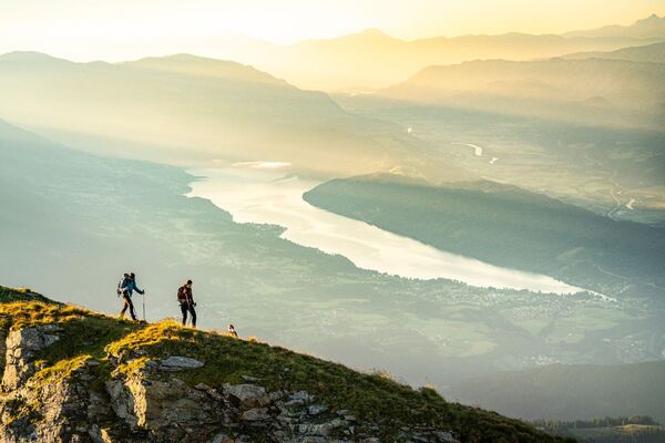
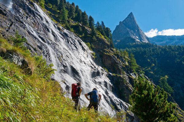
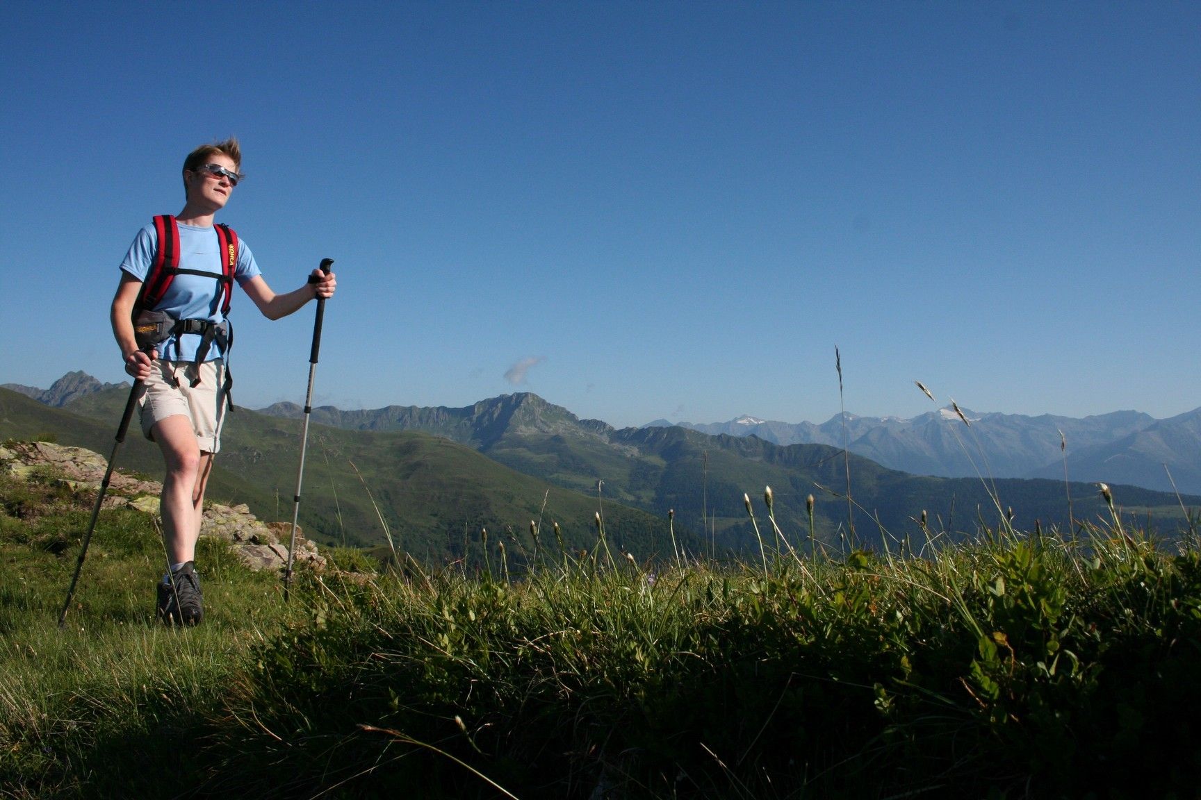
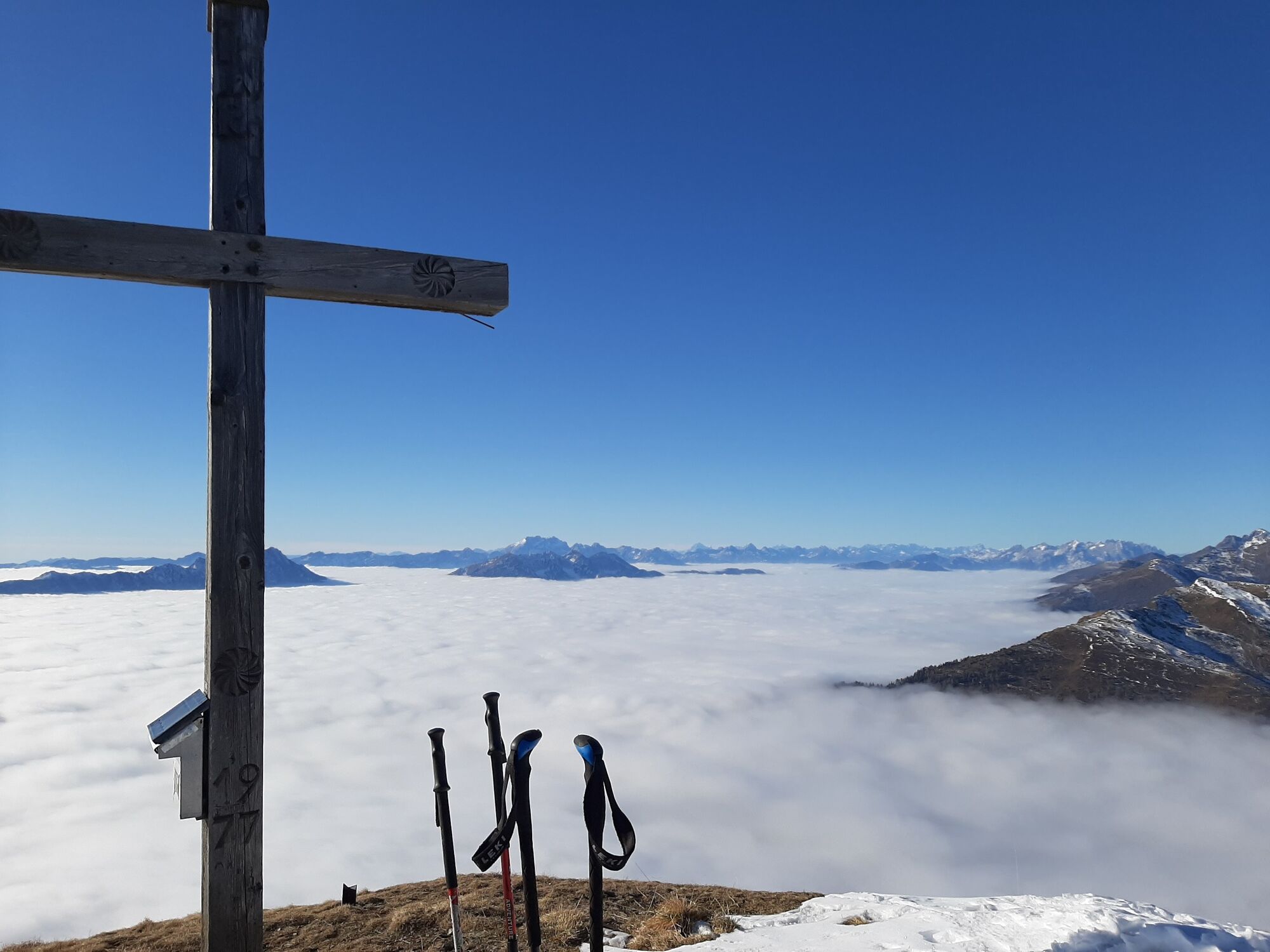
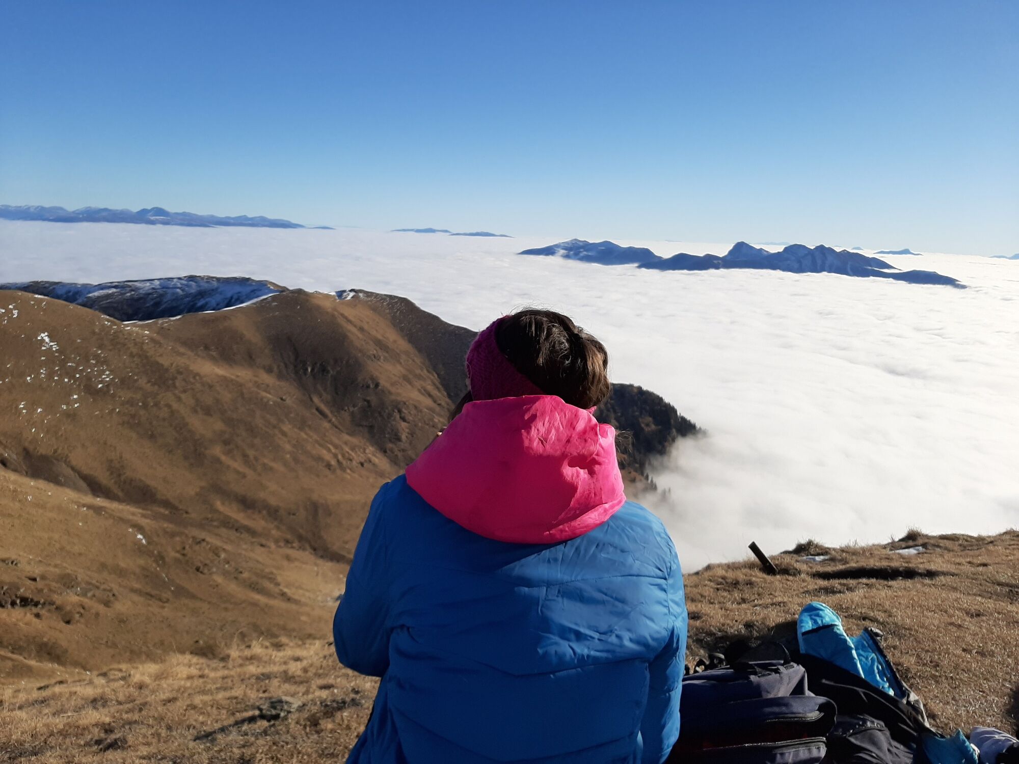
Eine aussichtsreiche und einsame Bergtour verspricht die Wanderung auf den Stagor.
- Difficulty
-
medium
- Rating
-
- Route
-
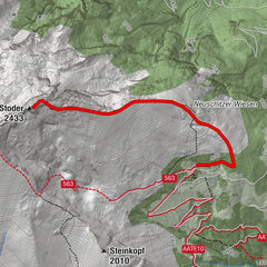
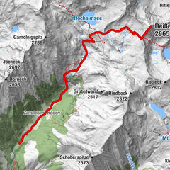
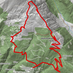
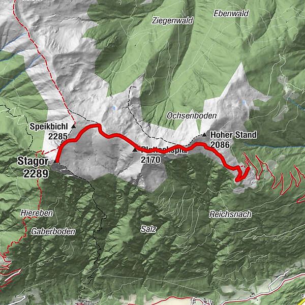
Törl (2,052 m)1.8 kmFalkkofel2.3 kmPlatteckspitz (2,170 m)2.6 kmStagor (2,289 m)4.4 kmPlatteckspitz (2,170 m)6.3 kmFalkkofel6.5 kmTörl (2,052 m)7.2 km
- Best season
-
JanFebMarAprMayJunJulAugSepOctNovDec
- Highest point
- 2,250 m
- Endpoint
-
Gipfel Stagor
- Height profile
-

- Author
-
The tour Stagor is used by outdooractive.com provided.
GPS Downloads


General info
A lot of view
Other tours in the regions