- Brief description
-
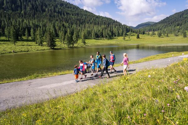
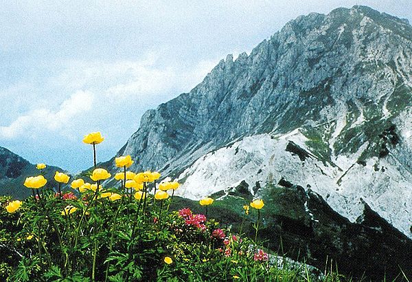
Wonderful perspective
- Starting point
-
Alpenhof Plattner
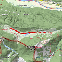
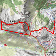
- Route
-
Plattner0.0 kmWatschigerAlm0.1 kmKammleiten (1,998 m)2.0 kmGartnerkofel (2,195 m)3.7 kmPlattner6.2 km
- Description
-
From Alpenhof plattner to te Watschier Alm. Then to the Kühweger Thörl and Kammleitn 1998m and to the Gartnerkofel.
- Highest point
- 2,163 m
- Height profile
-

- Directions
-
by foot: Directly at the hotel
- Author
-
The tour Hiking Tour the the Gartnerkofel is used by outdooractive.com provided.
GPS Downloads


Other tours in the regions