© Region Katschberg Lieser-Maltatal - Tourismusverband Lieser- und Maltatal

© Region Katschberg Lieser-Maltatal - Michaela Isola

© Region Katschberg Lieser-Maltatal - Tourismusverband Lieser- und Maltatal

© Region Katschberg Lieser-Maltatal - Tourismusverband Lieser- und Maltatal

© Region Katschberg Lieser-Maltatal - Tourismusverband Lieser- und Maltatal

- Brief description
-
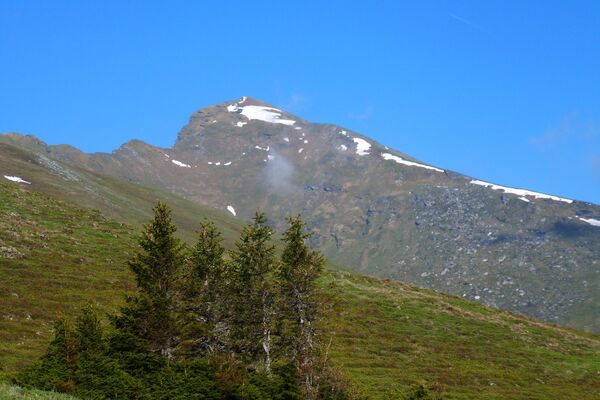
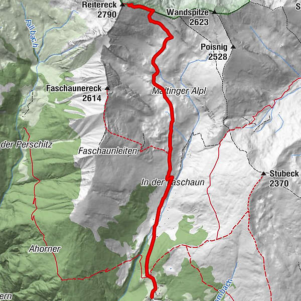
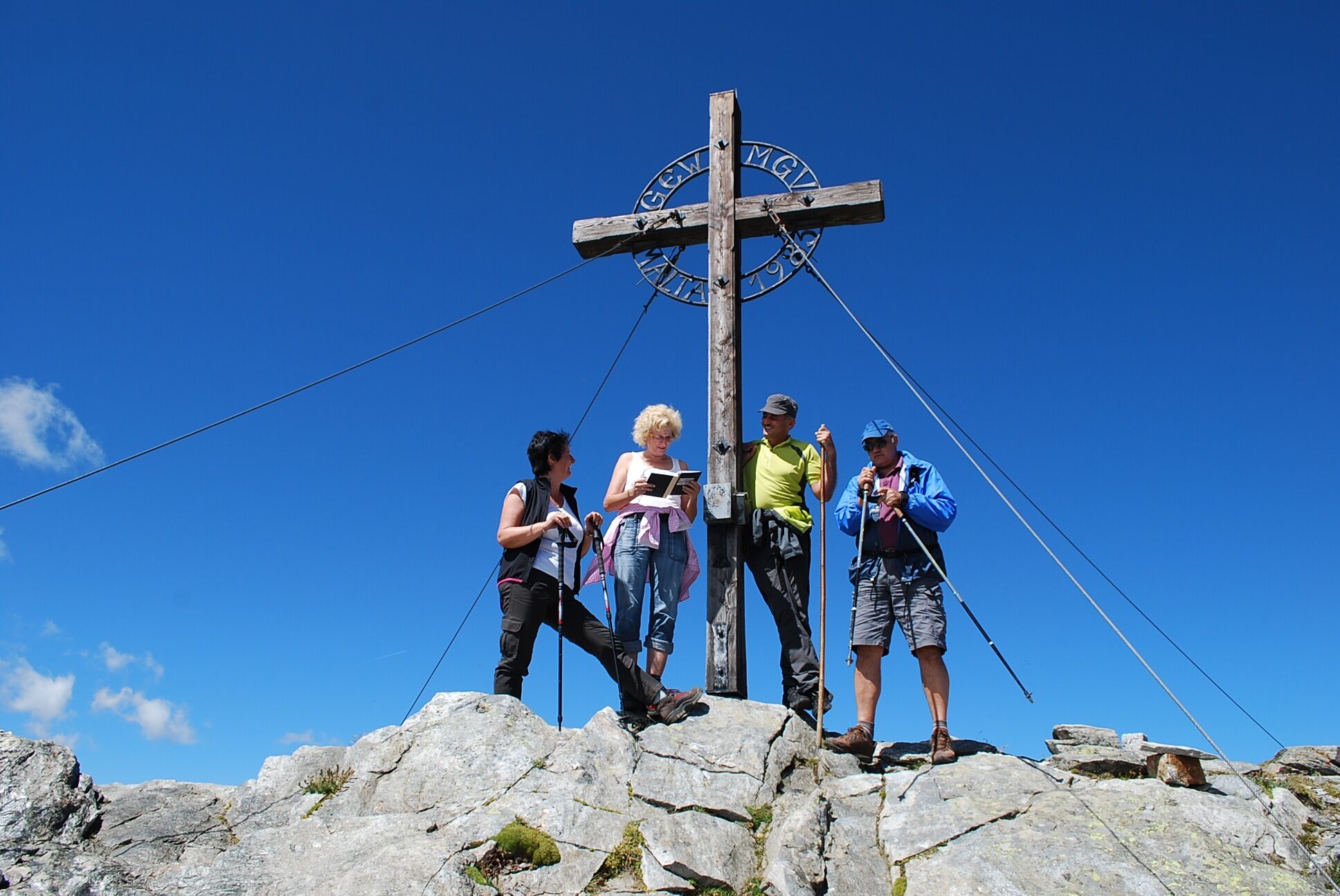
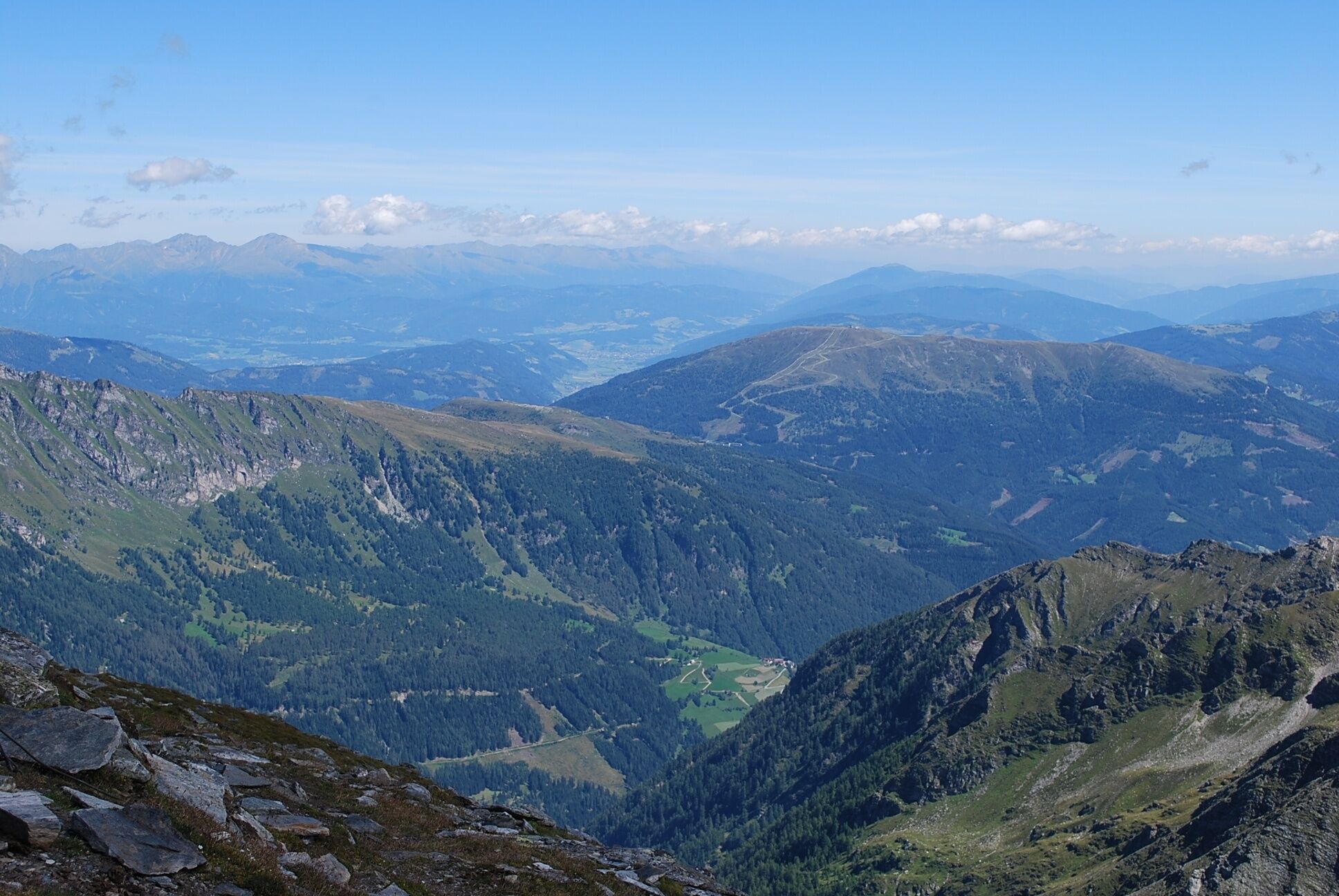
Mächtig schaut das Reitereck aus, kantig wirkt es, unwegsam mit seinem schroffen Felsabsturz zur Glockwandscharte hin, mit seinen nach Norden steil abfallenden Wänden.
- Difficulty
-
difficult
- Rating
-
- Route
-
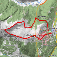
Kramerhütte0.2 kmReitereck (2,790 m)6.4 km
- Best season
-
JanFebMarAprMayJunJulAugSepOctNovDec
- Highest point
- 2,709 m
- Endpoint
-
Reitereck
- Height profile
-

- Author
-
The tour Vom Maltaberg auf's Reitereck (2 790 m) is used by outdooractive.com provided.
GPS Downloads


General info
Refreshment stop
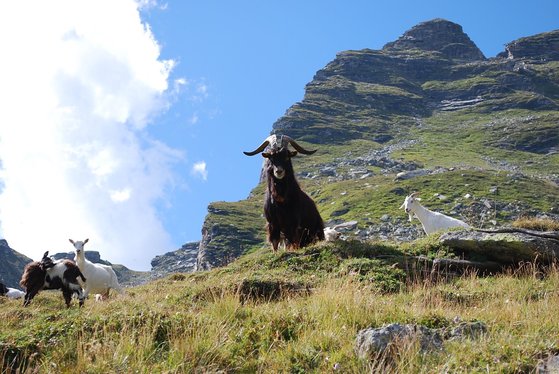
Fauna
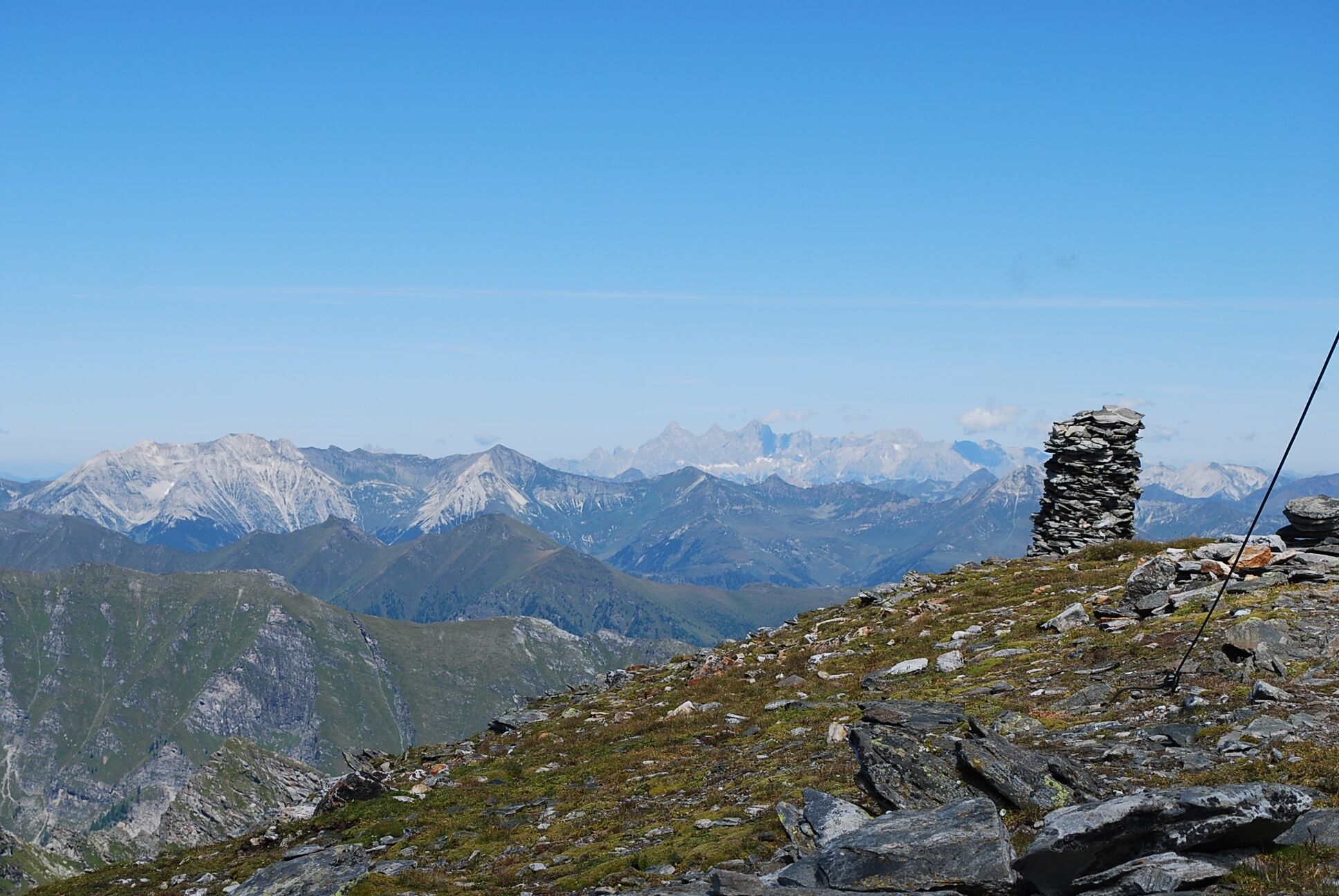
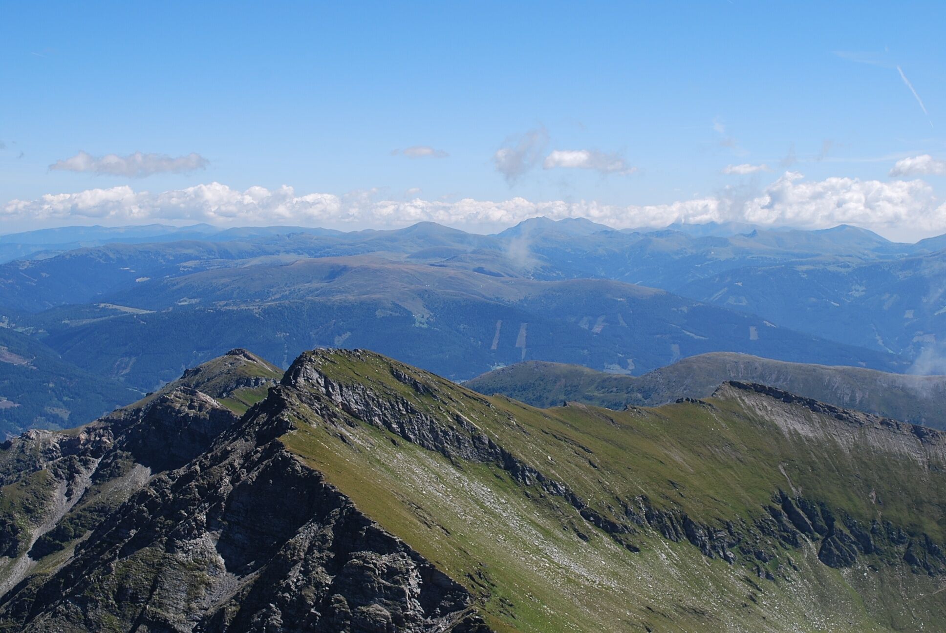
A lot of view
Other tours in the regions
-
Katschberg Lieser-Maltatal
2557
-
Millstätter See
1050
-
Malta
155