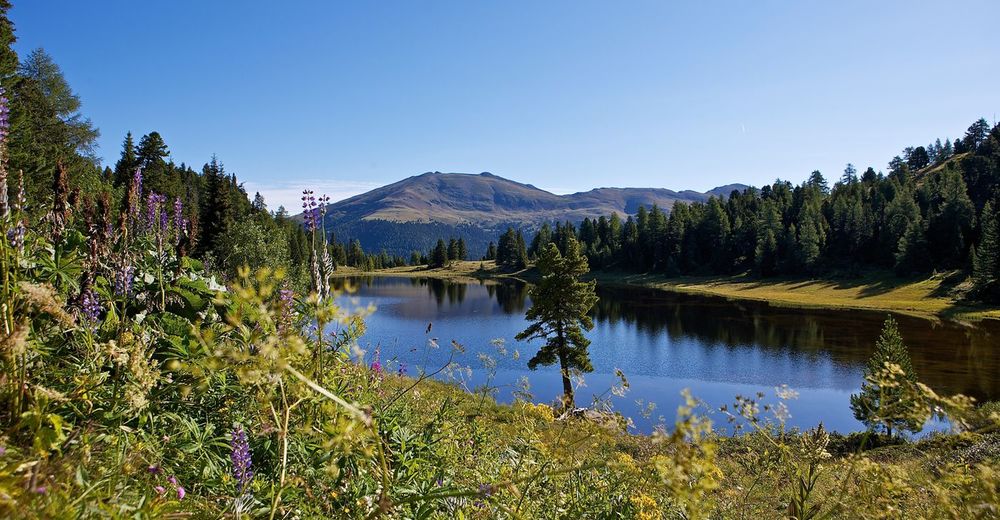
© www.turracherhoehe.at/martin steinthaler - Martin Steinthaler
© TV Turracher Höhe - Charalambos Triantafillidis
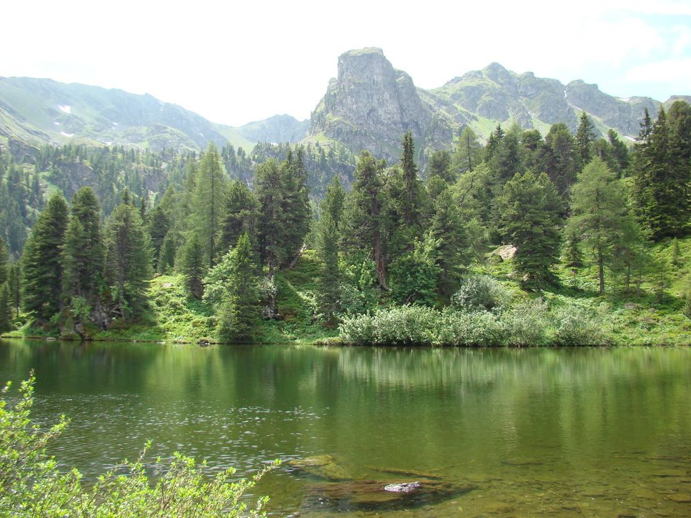
© TV Turracher Höhe
Tour data
20.16km
1,168
- 2,387m
1,109hm
1,711hm
09:30h

- Brief description
-
Gipfeltour nach Osten zum „Dach“ der Nockberge (schwer)
- Rating
-
- Starting point
-
Turrachersee
- Route
-
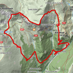
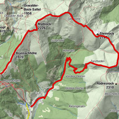
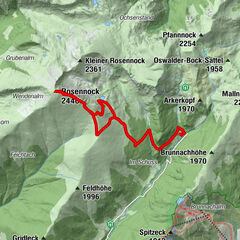
Schoberriegel (2,208 m)2.5 kmWeitentalsattel3.6 kmKaser Höhe (2,318 m)4.5 kmHoazhöhe (2,319 m)5.0 kmZgartensattel5.7 kmBretthöhe (2,320 m)6.1 kmLattersteighöhe (2,264 m)7.4 kmRapitzsattel (2,088 m)9.0 kmStraßburger Spitz (2,404 m)10.1 kmEisenhut (2,441 m)12.3 km
- Best season
-
JanFebMarAprMayJunJulAugSepOctNovDec
- Highest point
- 2,387 m
- Endpoint
-
Eisenhut
- Ticket material
-
Turracher Wanderkarte oder Kompass-Karte Nr. 66
- Source
- TV Turracher Höhe
GPS Downloads


Trail conditions
Asphalt
Gravel
Meadow
Forest
Rock
Exposed
Other tours in the regions