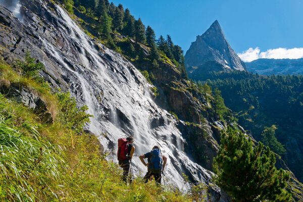
© Hubi1860

© Hubi1860

© Hubi1860

© Hubi1860

© Hubi1860

© Hubi1860
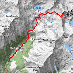
Tour data
9.59km
2,170
- 2,662m
521hm
06:00h

- Brief description
-
Etappenweg auf der Kreuzeck-Durchquerung
- Rating
-
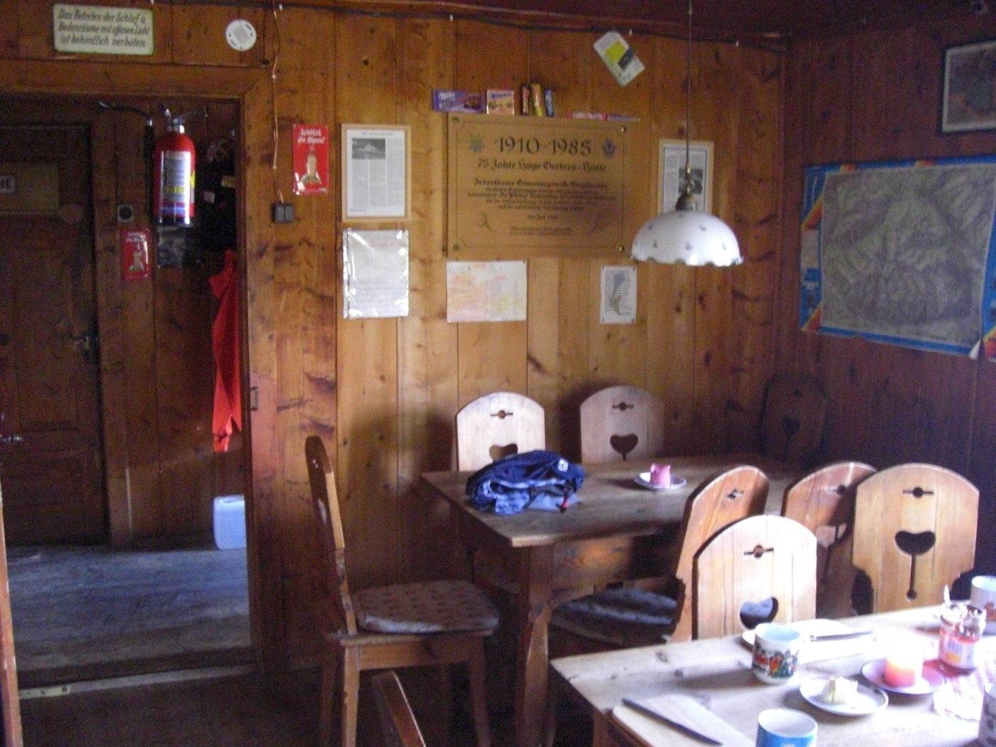
- Starting point
-
Hugo-Gerbers-Hütte
- Route
-
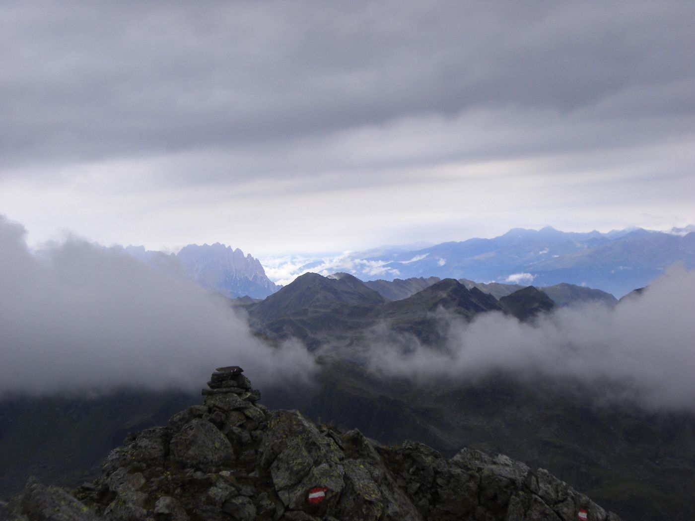
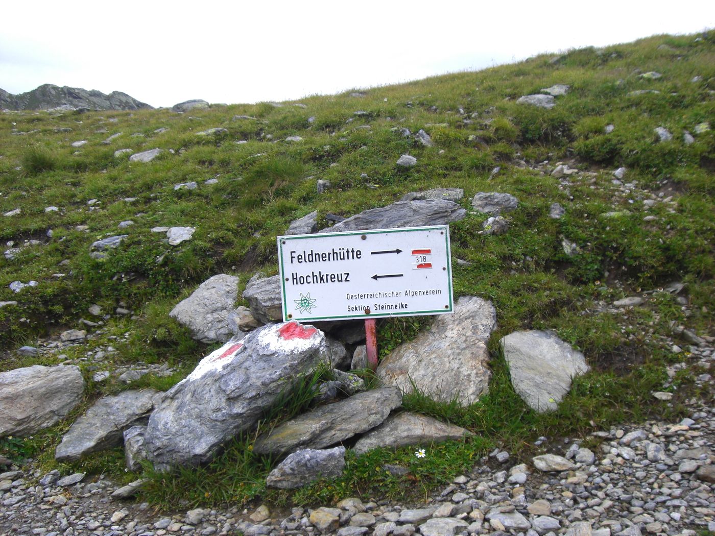
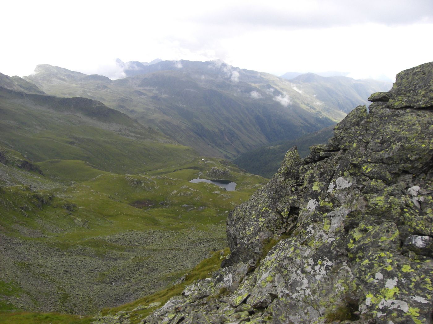
Kreuzlscharte (2,470 m)0.7 kmSchwarzwandkopf (2,683 m)3.6 kmHochkreuz (2,709 m)4.0 kmKirschentörl (2,426 m)4.9 kmFeldnerhütte9.5 km
- Best season
-
JanFebMarAprMayJunJulAugSepOctNovDec
- Highest point
- 2,662 m
- Endpoint
-
Feldnerhütte
- Rest/Retreat
-
keine
- Ticket material
-
Kompass Karte Kreuzeckgruppe

- Source
- Thomas Huber
GPS Downloads


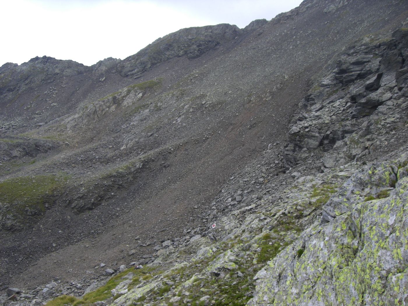
Trail conditions
Asphalt
Gravel
Meadow
Forest
Rock
Exposed
Other tours in the regions