

© Region Wörthersee-Rosental Tourismus GmbH - Franz Gerdl

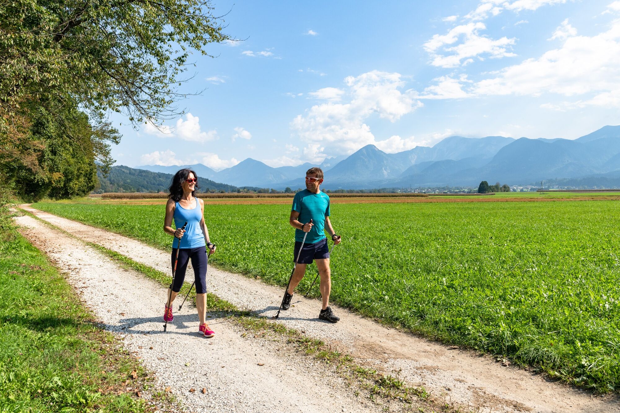
© Region Wörthersee-Rosental Tourismus GmbH - Andreas Kranzmayr

© Region Wörthersee-Rosental Tourismus GmbH - Franz Gerdl

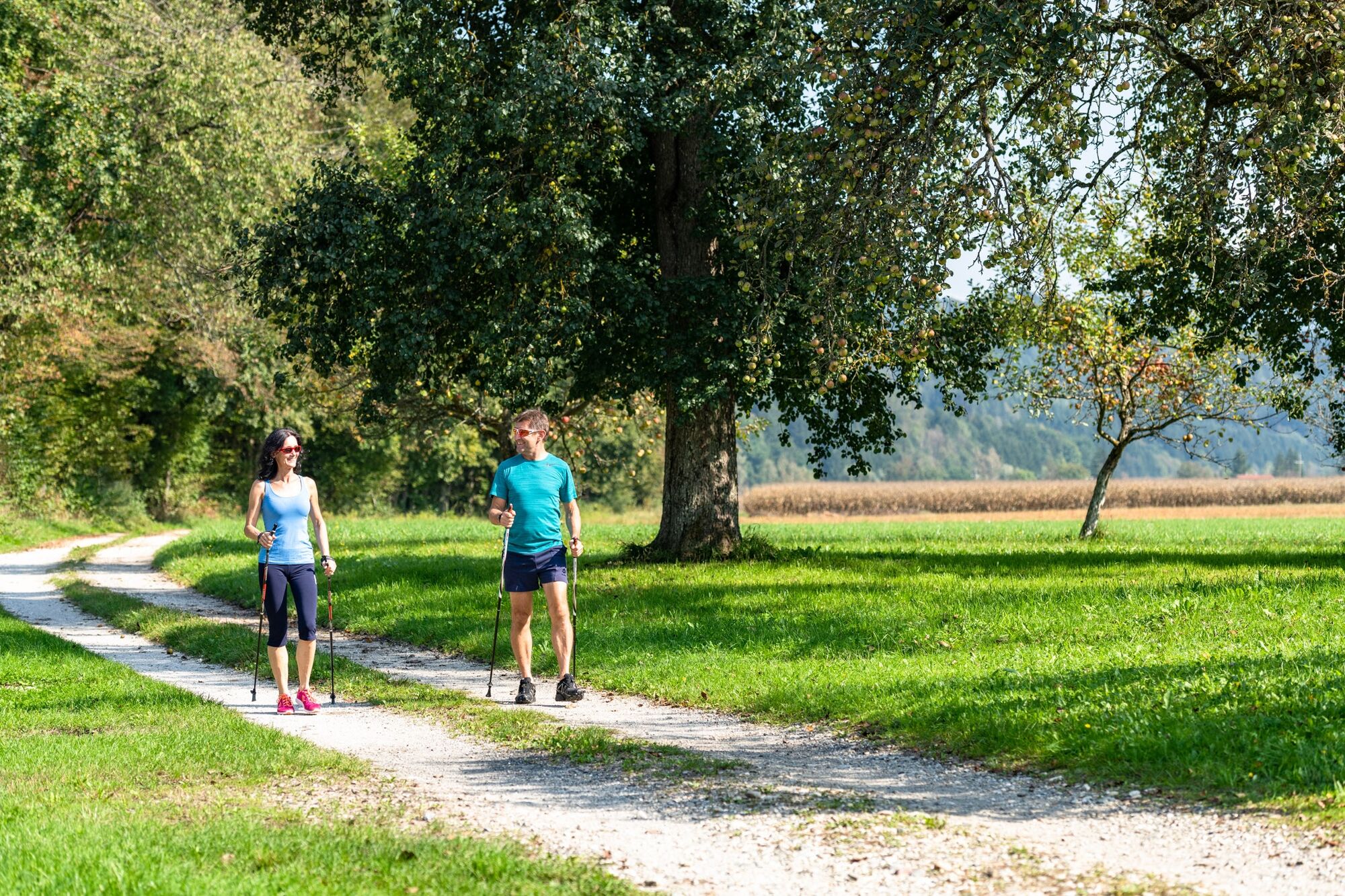
© Region Wörthersee-Rosental Tourismus GmbH - Andreas Kranzmayr

© Carnica-Region Rosental - Sissi Wutte

© Region Wörthersee-Rosental Tourismus GmbH - Andreas Kranzmayr

© Region Wörthersee-Rosental Tourismus GmbH - Franz Gerdl

© Region Wörthersee-Rosental Tourismus GmbH - Andreas Kranzmayr

© Region Wörthersee-Rosental Tourismus GmbH - Andreas Kranzmayr

© Region Wörthersee-Rosental Tourismus GmbH - Franz Gerdl

- Brief description
-
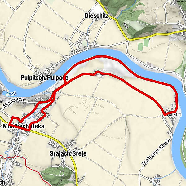
Der Landschaftsbogen entlang des "Drau-Ebene" Spazierganges spannt sich von fruchtbarem Kulturland bis zur imposanten Flusslandschaft.
- Route
-
Gasthof - Pension ThomashofMühlbach0.0 kmPulpitsch0.6 kmDreilach3.2 kmPulpitsch5.1 kmGasthof - Pension Thomashof6.3 kmMühlbach6.3 km
- Best season
-
JanFebMarAprMayJunJulAugSepOctNovDec
- Highest point
- 487 m
- Endpoint
-
Mühlbach, Gasthof Thomashof
- Height profile
-


-

-
AuthorThe tour "Drau-Ebene" Spaziergang is used by outdooractive.com provided.
GPS Downloads


Other tours in the regions


