


Tour data
4.69km
1,192
- 2,116m
942hm
20hm
06:00h
- Brief description
-
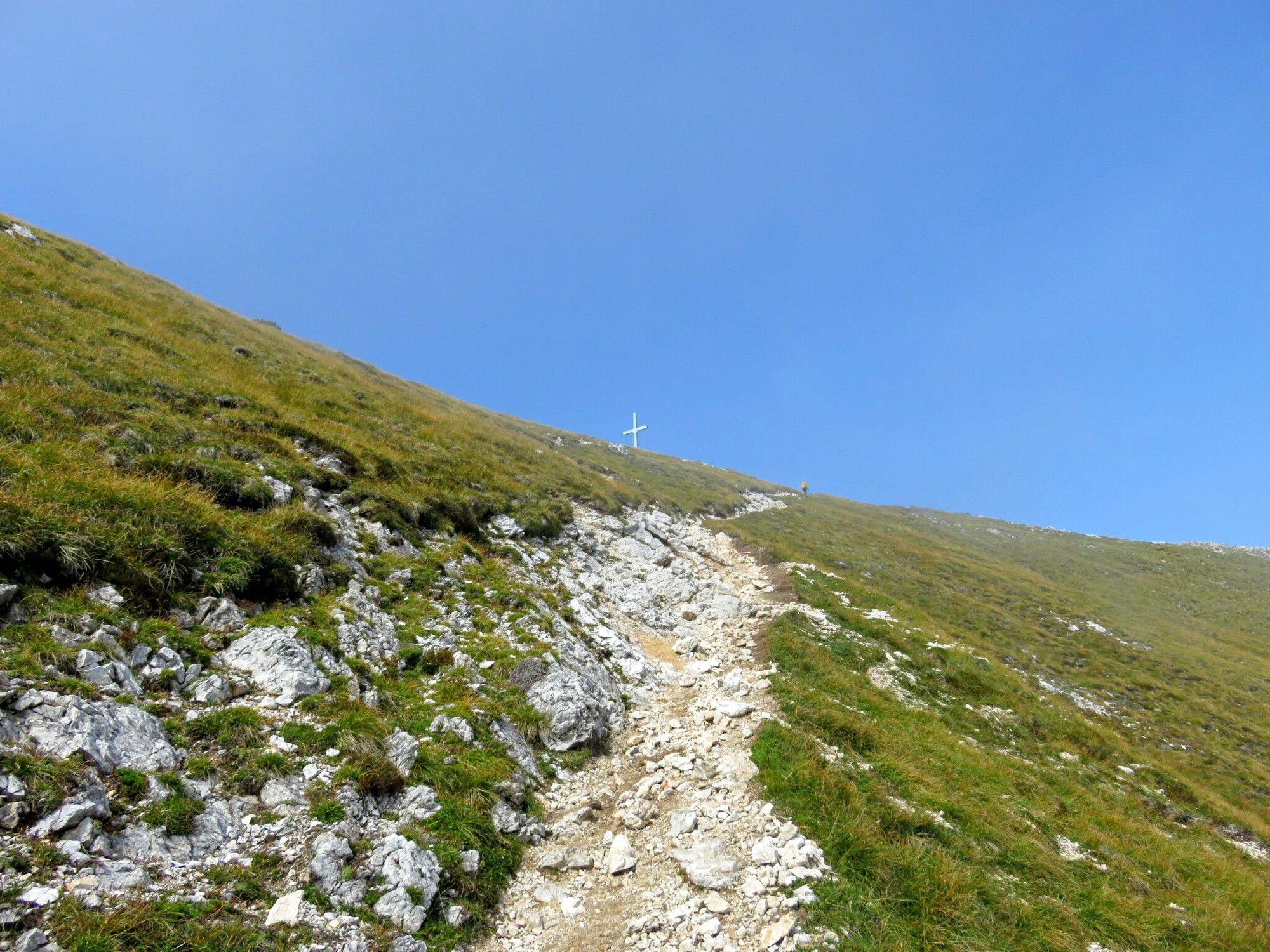
Mittagskogel
- Difficulty
-
medium
- Rating
-
- Route
-
Bertahütte3.1 km
- Best season
-
JanFebMarAprMayJunJulAugSepOctNovDec
- Highest point
- 2,116 m
- Rest/Retreat
-
Bertahütte
- Source
- Brinkmeier
GPS Downloads


Trail conditions
Asphalt
Gravel
Meadow
Forest
Rock
Exposed
Other tours in the regions


