
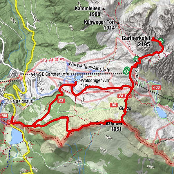
Tour data
9.26km
1,530
- 2,195m
800hm
800hm
04:00h
- Brief description
-
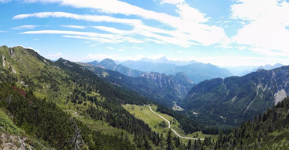
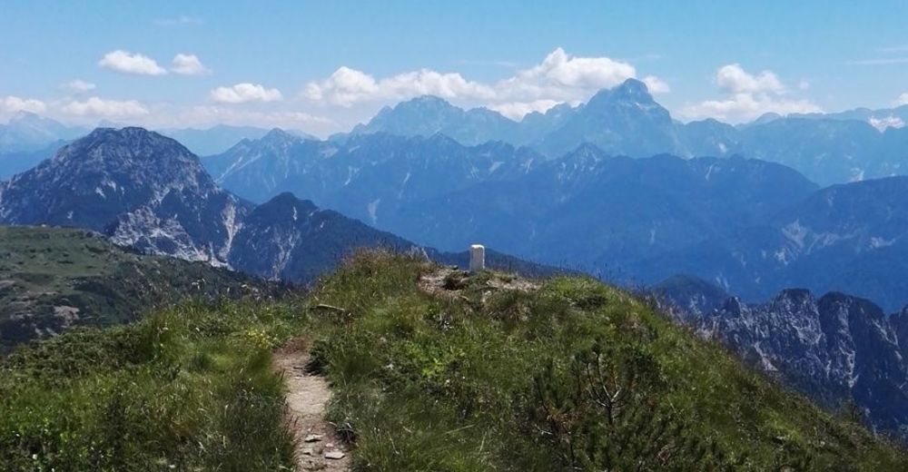
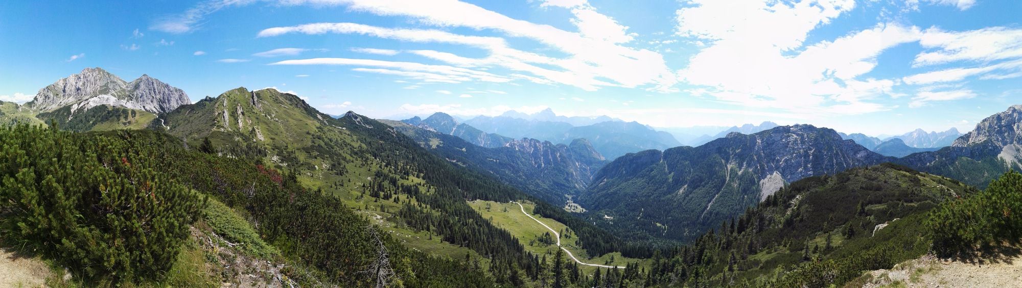
Eine Aussichtsreiche Wanderung am Nassfeld
- Difficulty
-
medium
- Rating
-
- Starting point
-
Passhöhe Nassfeld
- Route
-
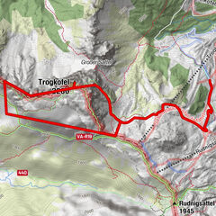
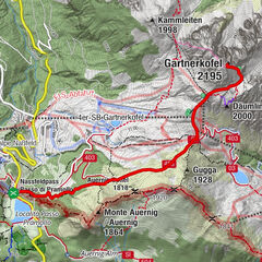
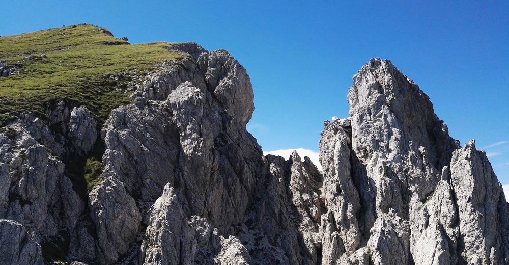
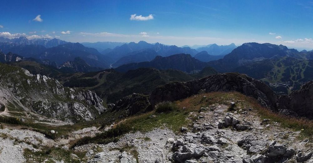
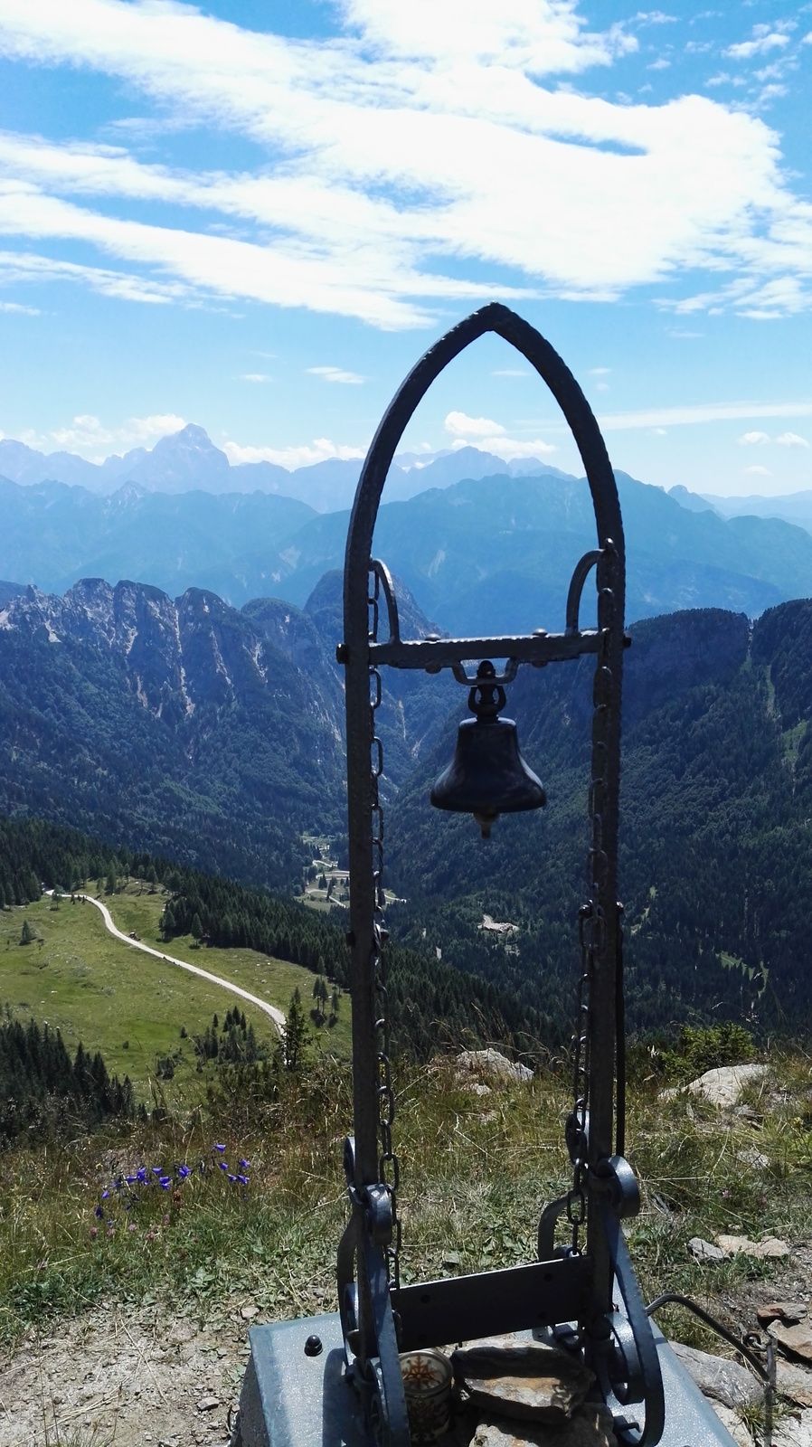
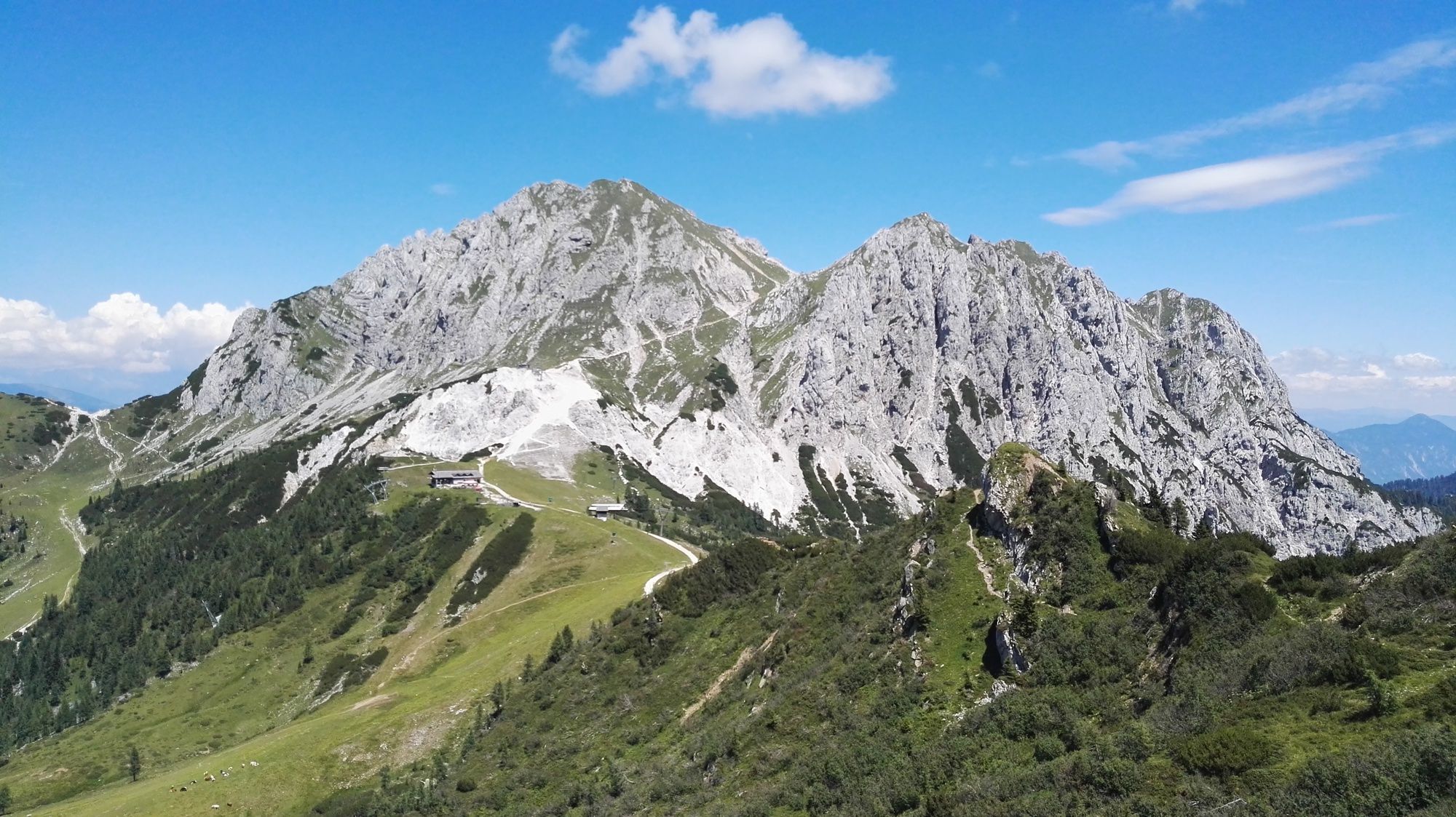
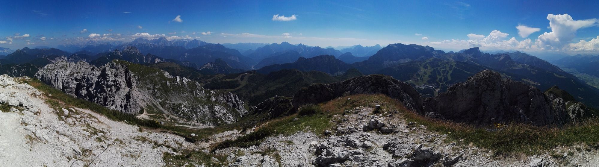
Auernig (1,864 m)1.6 kmAuernig Sattel (1,818 m)2.1 kmGarnitzenberg (1,950 m)2.7 kmGugga (1,928 m)3.0 kmGartnerkofel (2,195 m)4.9 kmWatschigerAlm7.6 kmPlattner7.9 kmSchwefelquelle8.6 km
- Best season
-
JanFebMarAprMayJunJulAugSepOctNovDec
- Highest point
- Gartnerkofel (2,195 m)
- Endpoint
-
Passhöhe Nassfeld
- Rest/Retreat
-
Watschinger Alm, Plattner
- Ticket material
-
BEV-Karte 1:25000, Ausschnitt NL 33-04-16 Ost, Sonnenalpe Nassfeld

GPS Downloads


Trail conditions
Asphalt
Gravel
Meadow
Forest
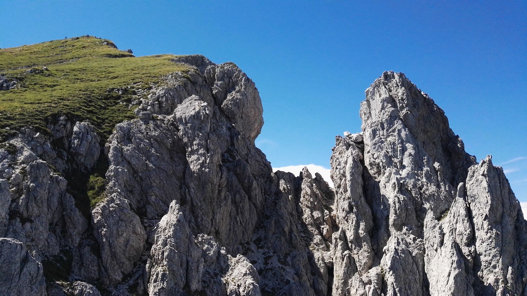
Rock
Exposed
Other tours in the regions