© Region Wörthersee-Rosental Tourismus GmbH - Andreas Irnstorfer
© Region Wörthersee-Rosental Tourismus GmbH - Andreas Irnstorfer
© Region Wörthersee-Rosental Tourismus GmbH - Andreas Irnstorfer
© Region Wörthersee-Rosental Tourismus GmbH - Andreas Irnstorfer
© Region Wörthersee-Rosental Tourismus GmbH - Andreas Irnstorfer
© Region Wörthersee-Rosental Tourismus GmbH - Andreas Irnstorfer
© Region Wörthersee-Rosental Tourismus GmbH - Andreas Irnstorfer
© Region Wörthersee-Rosental Tourismus GmbH - Andreas Irnstorfer
© Region Wörthersee-Rosental Tourismus GmbH - Andreas Irnstorfer


- Brief description
-
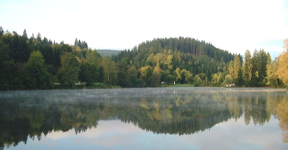
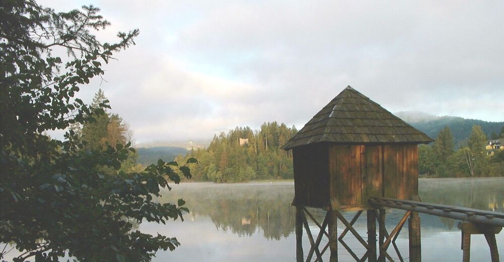
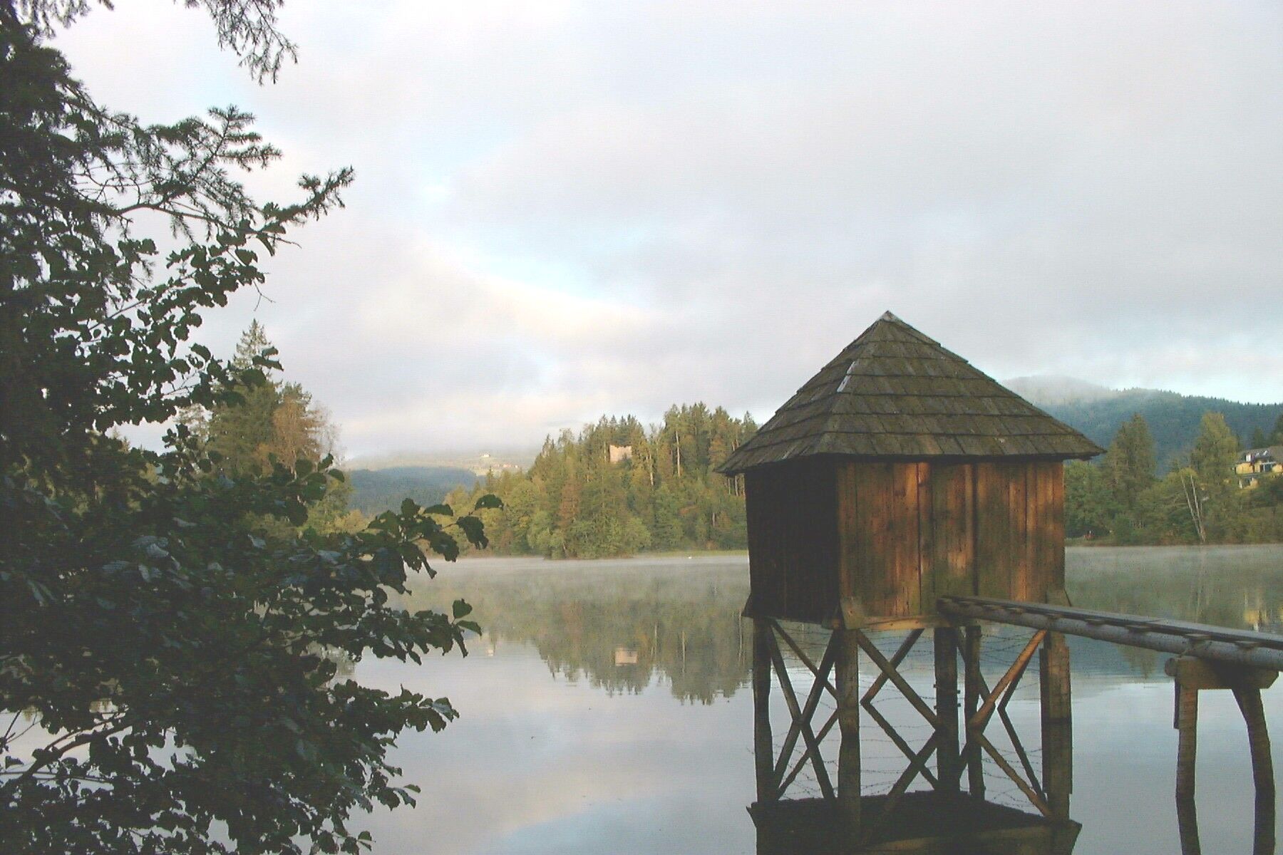
Der Bannwaldweg bietet die besten Voraussetzungen für stressfreie Bewegung in der einzigartigen Naturkulisse von Moosburg.
- Difficulty
-
easy
- Rating
-
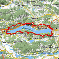
- Route
-
Gasthof Tschemernig0.2 kmGasthaus - Restaurant Schiller0.2 kmHl. Michael0.2 kmMoosburg0.3 kmStallhofen3.6 kmGasthof Tschemernig5.6 kmMoosburg5.7 km
- Best season
-
JanFebMarAprMayJunJulAugSepOctNovDec
- Highest point
- 546 m
- Endpoint
-
Feldkrichner Straße/Schloßallee Moosburg
- Height profile
-


- Author
-
The tour Bannwaldweg is used by outdooractive.com provided.
GPS Downloads


General info
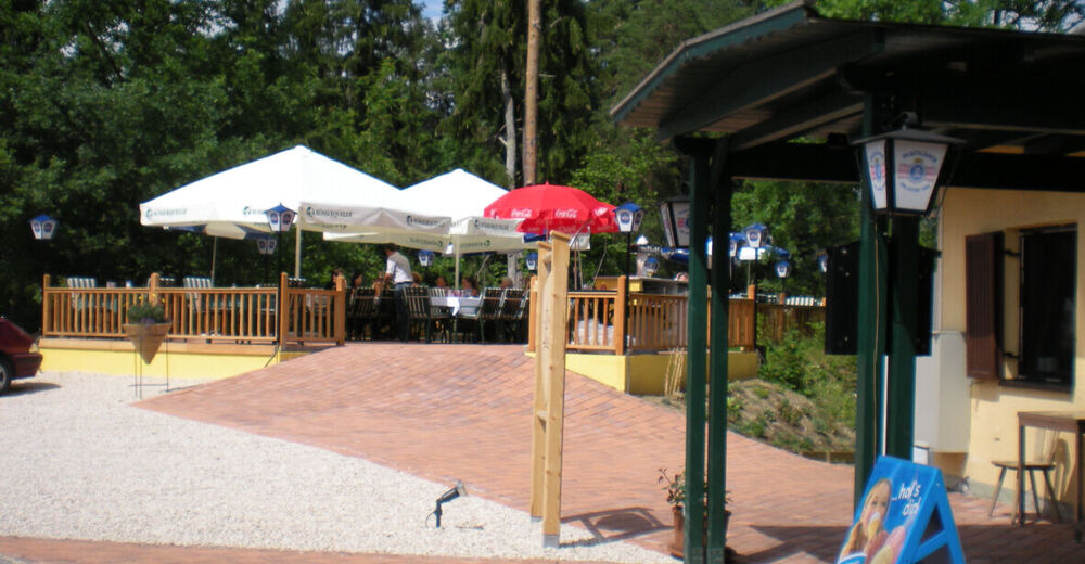
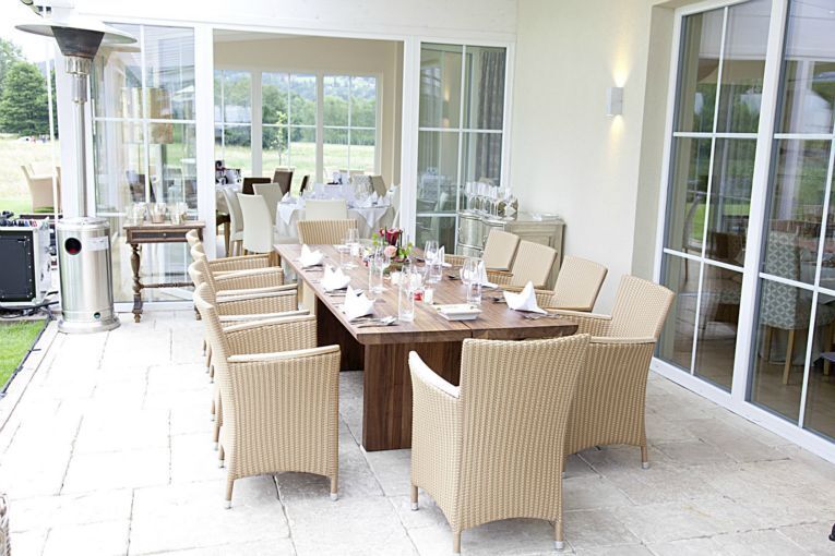
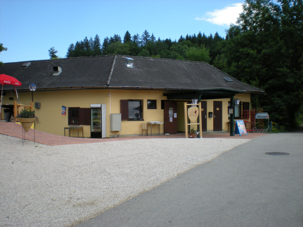
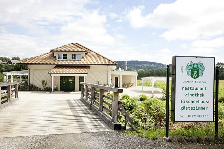
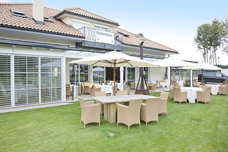
Refreshment stop
Other tours in the regions
-
Wörthersee - Rosental
1948
-
Feldkirchen und Umgebung
936
-
Moosburg
350