

© Region Villach - Faaker See - Ossiacher See - Region Villach

© Region Villach - Faaker See - Ossiacher See - Region Villach

© Region Villach - Faaker See - Ossiacher See - Region Villach

© Region Villach - Faaker See - Ossiacher See - Region Villach

© ÖAV Hüttenfinder

© Ferdinand Messner

- Brief description
-
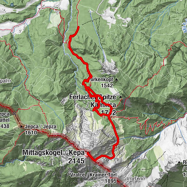
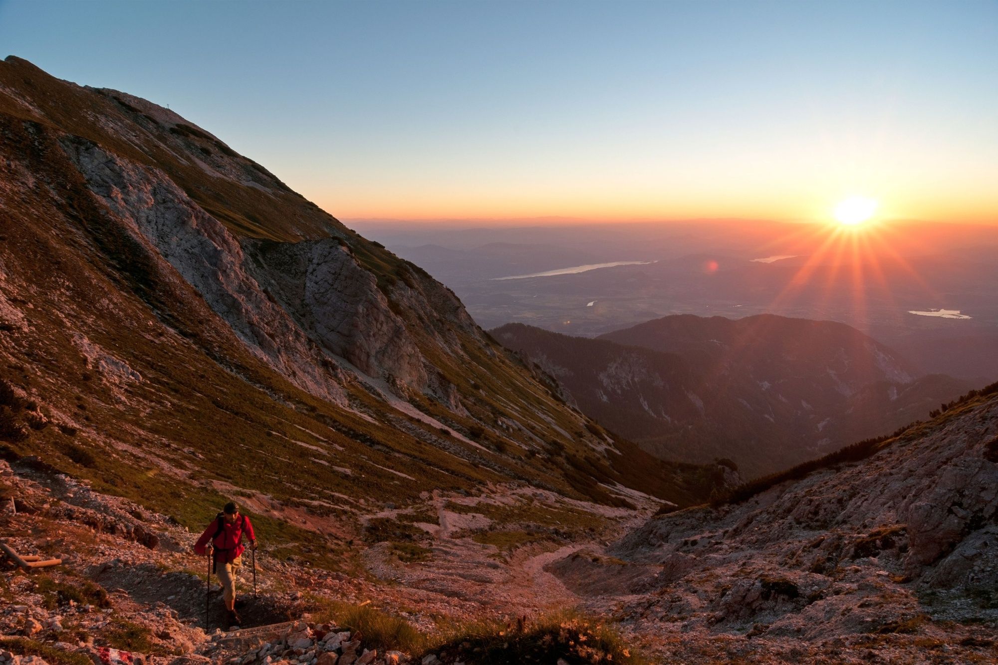
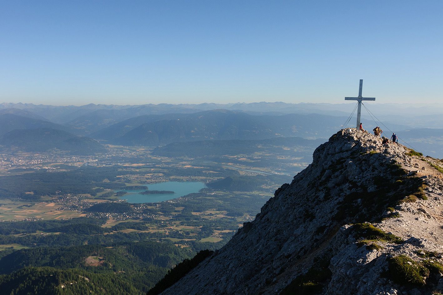
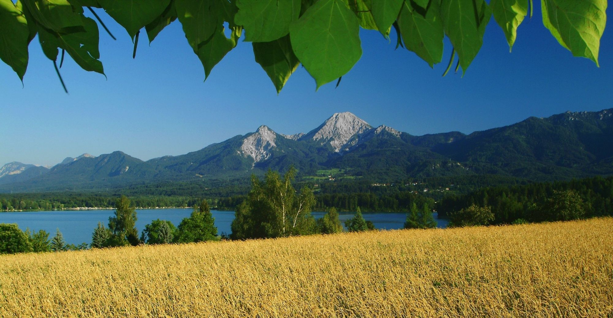
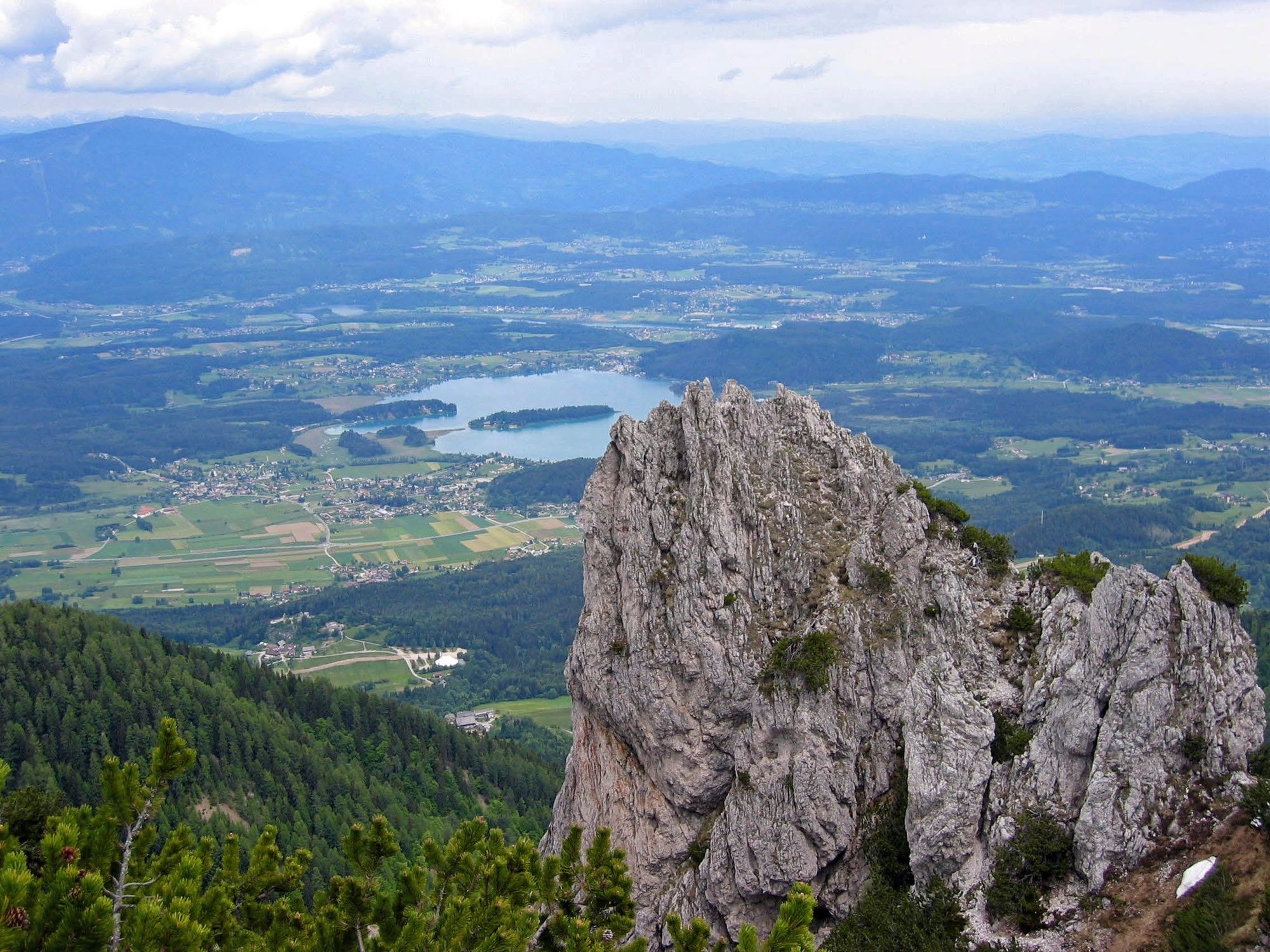
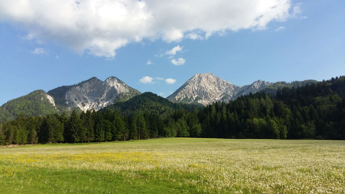
Imposant, eindrucksvoll und ausdrucksstark erhebt sich der Mittagskogel über den Faakersee.
- Difficulty
-
difficult
- Rating
-
- Route
-
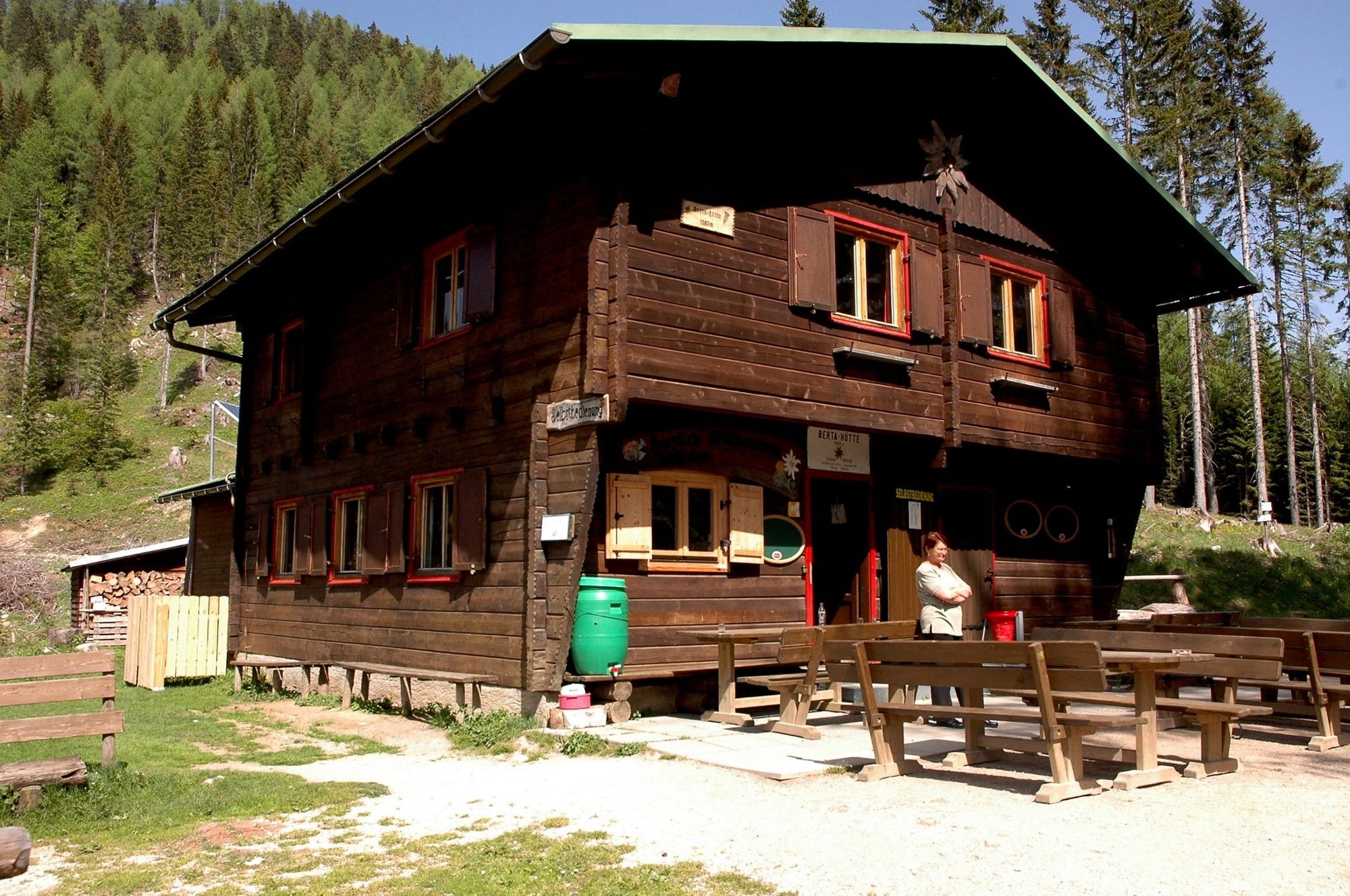
Seufzerquelle3.5 kmMittagskogel (2,145 m)7.1 kmBertahütte9.6 km
- Best season
-
JanFebMarAprMayJunJulAugSepOctNovDec
- Highest point
- 2,104 m
- Endpoint
-
Hotel Mittagskogel
- Height profile
-

- Author
-
The tour Mittagskogel is used by outdooractive.com provided.
GPS Downloads


General info
Refreshment stop
A lot of view
Other tours in the regions


