Graschelitzen Runde - Jogging and Trail Running Arena Warmbad-Villach


- Brief description
-
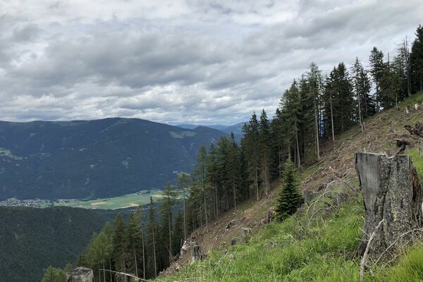
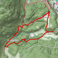
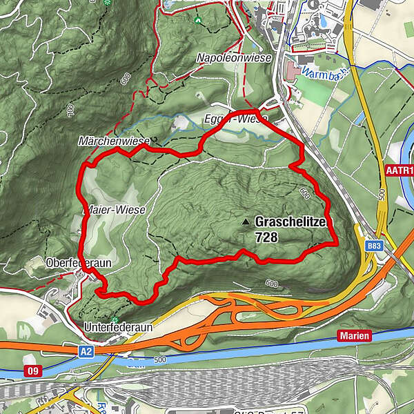
Eine großflächige Graschelitzen-Umrundung mit vielen Höhenmetern und anspruchsvollen steilen Passagen.
- Difficulty
-
medium
- Rating
-
- Starting point
-
Startpunkt Stretching Point
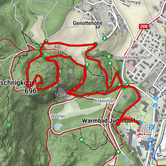
- Route
-
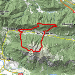
Villach (501 m)Oberfederaun3.3 kmStudencafall4.3 kmRömerquelle4.6 km
- Best season
-
JanFebMarAprMayJunJulAugSepOctNovDec
- Description
-
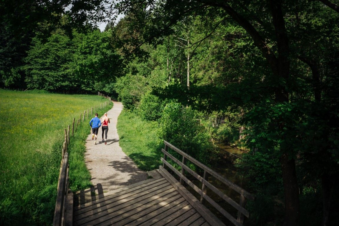
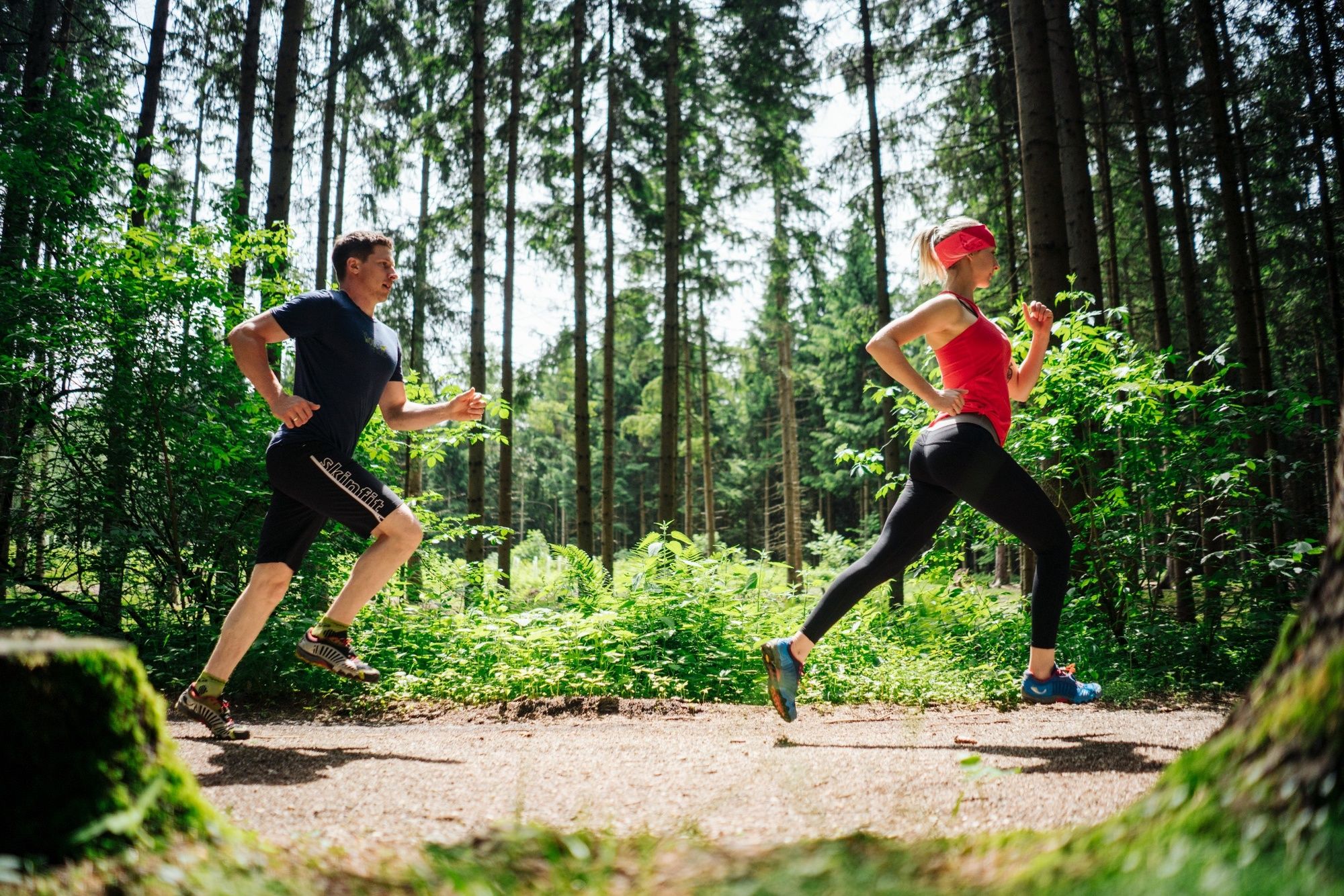
Running and nature experience - two basic needs that meet in the new running and trail running Arena Villach Warmbad. The route network of the newly developed running and trail running arena offers seven selected running and trail running routes with a total length of over 50km. Multifaceted nature spectacle meets versatile running experience!
- Directions
-
From the starting point Stretching Point you walk to the left-hander heading south-east until the gravel road rejoins the Warmbader Allee. Now you turn right into the rising Hol- and Bringweg, which you follow to the highest point. About a broad forest road, it goes back down to Oberferderaun. Follow the signs to the beginning of the Roman road and turn right. In a few minutes you can reach the small fairy tale meadow and over varied steep and rooty passages the Römerquelle. On a pleasantly soft forest floor you reach the deer enclosure and then back to the starting point.
- Highest point
- 676 m
- Endpoint
-
Startpunkt Stretching Point
- Height profile
-

- Equipment
-
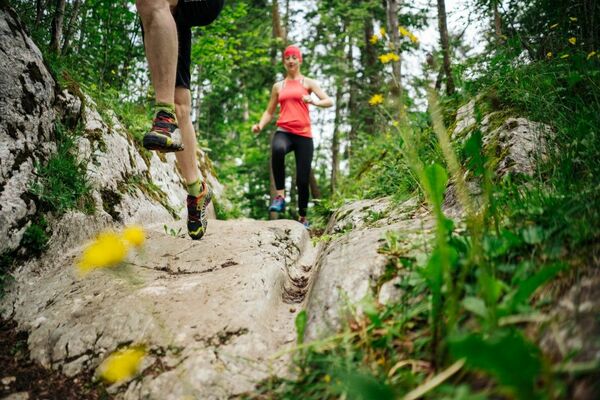
Running shoes with good outsole, running clothes, drinks, changing clothes, mobile phone, first aid
- Safety instructions
-
The route leads over mostly steep forest and forest roads, which require a safe, coordinated and controlled running technique. Two different runner icons have been developed to differentiate the trail running tracks from the normal running tracks and are visible on each additional signage.
- Additional information
- Directions
-
The Warmbad spa resort can be reached via the Tauernautobahn (A10), the Südautobahn (A2) in the direction of Italy (exit Warmbad-Villach) and the Warmbader Allee.
- Public transportation
- Parking
-
At the Kärnten Therme there are plenty of paid parking spaces. In the vicinity there are also free parking.


- Author
-
The tour Graschelitzen Runde - Jogging and Trail Running Arena Warmbad-Villach is used by outdooractive.com provided.