Tscheltschnigkogel Challenge - Jogging and Trail Running Arena Warmbad-Villach


- Brief description
-
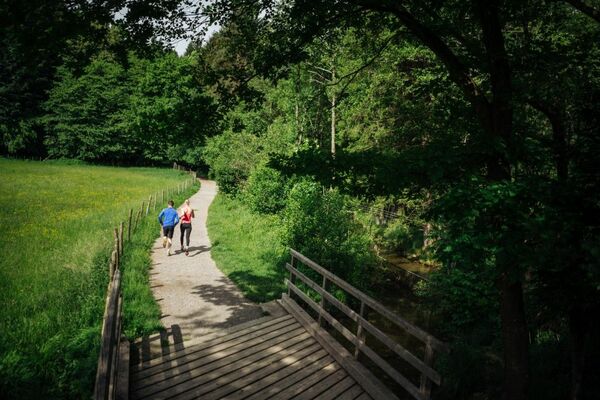
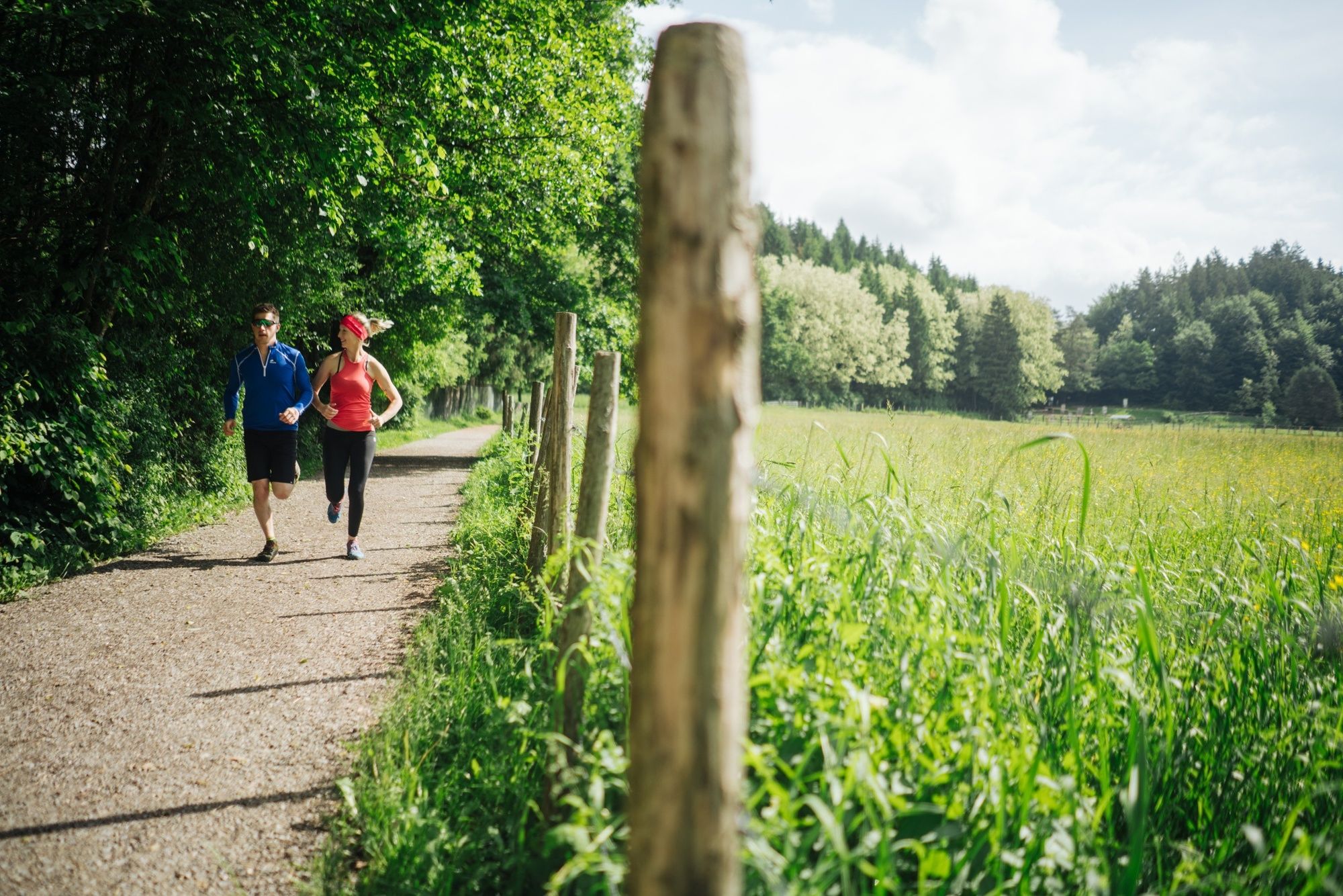
A short and intensive mountain run along the brook Maibachl, up to the Tscheltschnigkogel and back to the Kurpark.
- Difficulty
-
difficult
- Rating
-
- Starting point
-
Warmbad Villach - Spa Park
- Route
-
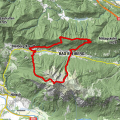
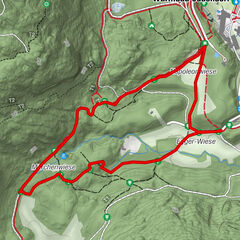
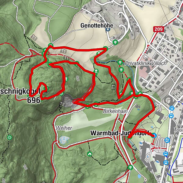
Warmbader Hauskapelle0.2 kmWarmbad-Judendorf0.2 kmMaibachl0.8 kmTscheltschnigkogel (696 m)2.3 kmDurezza-Schachthöhle2.5 kmGenottehöhe3.2 kmVillach (501 m)3.4 km
- Best season
-
JanFebMarAprMayJunJulAugSepOctNovDec
- Description
-
Running and experience nature - two basic needs that can be fulfilled in the new running and trail-running Arena Villach Warmbad. The network of routes of the newly developed running and trail-running arena offers seven selected running and trail-running routes with a total length of over 50km. Multifaceted nature spectacle meets versatile running experience!
- Directions
-
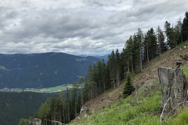
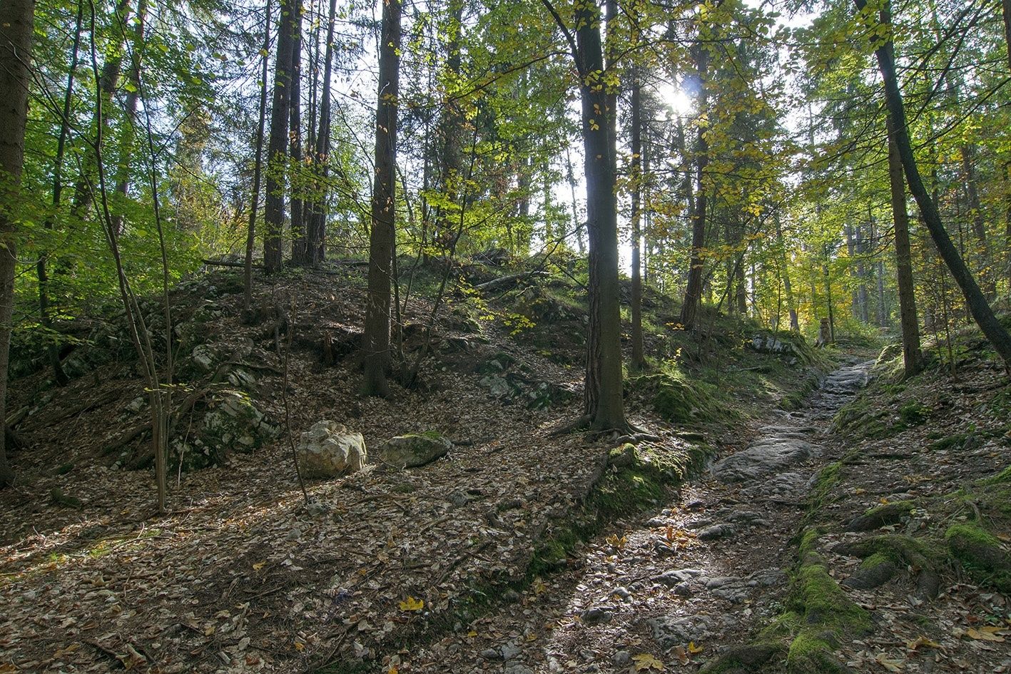
From the starting point Kurpark follow the signs through the park towards the small brook Maibachel. A few minutes after the Maibachel branch off at the height of the birch grove towards Tscheltschnigkogel. From here you run uphill over stony and rooty forest roads to the highest point of the Tscheltschnigkogel with beautiful views of Villach. At the North-Western side, you can run back down on a steep forest to the Genottenhöhe (restaurant). From the Genottenhöhe, following the signs, you have to continue downhill to the starting point.
- Highest point
- 691 m
- Endpoint
-
Warmbad Villach - Spa Park
- Height profile
-

- Equipment
-
Running shoes, sports wear, rain cover and a map.
- Safety instructions
-
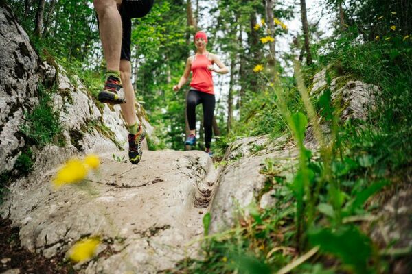
The route leads mostly over steep forest and forest roads, which require a safe, coordinated and controlled running technique. Sign posts (with two different runner icons) have been set up to differentiate the trail-running tracks from the normal running tracks and are visible on signposts on the way.
- Additional information
- Directions
-
The Warmbad spa resort can be reached via the Tauernautobahn (A10), the Südautobahn (A2) in the direction of Italy (exit Warmbad-Villach) and the Warmbader Allee.
- Public transportation
- Parking
-
At the Kärnten Therme there are plenty of paid parking spaces. In the vicinity there are also free parking spaces available.

- Author
-
The tour Tscheltschnigkogel Challenge - Jogging and Trail Running Arena Warmbad-Villach is used by outdooractive.com provided.