© RUNNERSFUN Consulting GmbH - Felix Ettinger

© RUNNERSFUN Consulting GmbH - Felix Ettinger

© RUNNERSFUN Consulting GmbH - Felix Ettinger

© RUNNERSFUN Consulting GmbH - Felix Ettinger

© RUNNERSFUN Consulting GmbH - Felix Ettinger

- Best season
-
JanFebMarAprMayJunJulAugSepOctNovDec
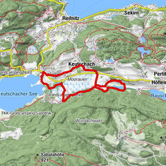
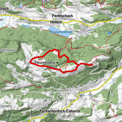
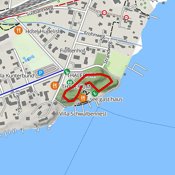
- Highest point
- 449 m
- Height profile
-


- Author
-
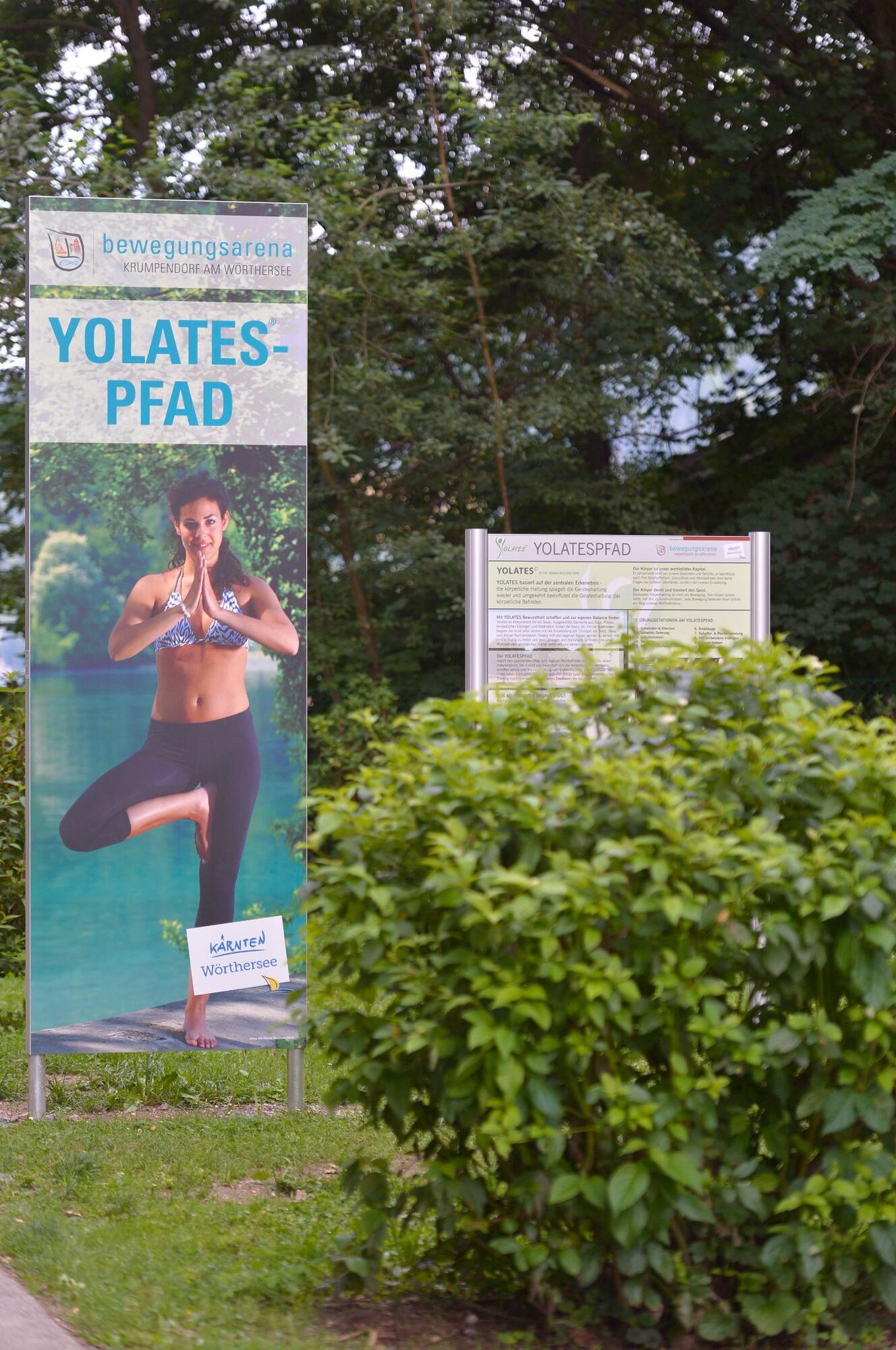
The tour YOLATESPFAD© is used by outdooractive.com provided.
GPS Downloads


Other tours in the regions