© higuita
© higuita
© higuita
© higuita
© higuita
© higuita

© higuita
© higuita
© higuita
© higuita
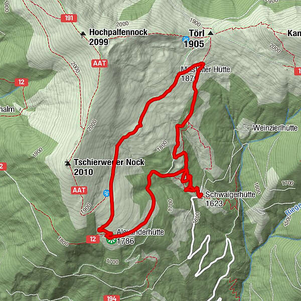
Tour data
5.4km
1,622
- 1,876m
254hm
254hm
02:00h
- Brief description
-
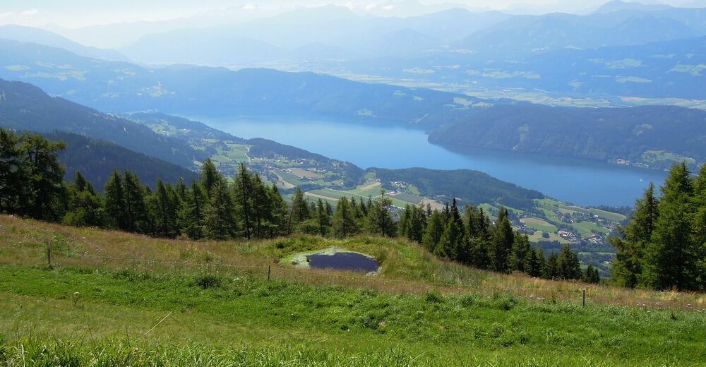
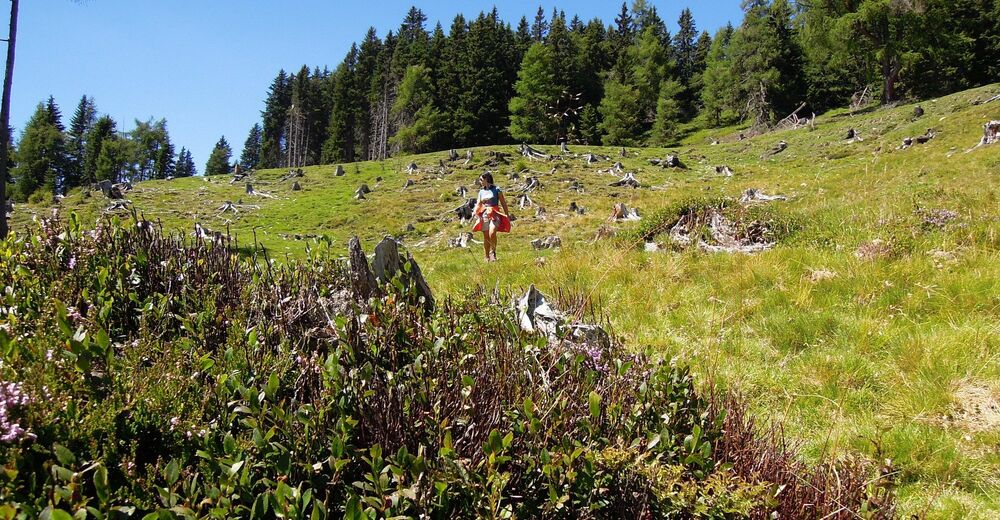
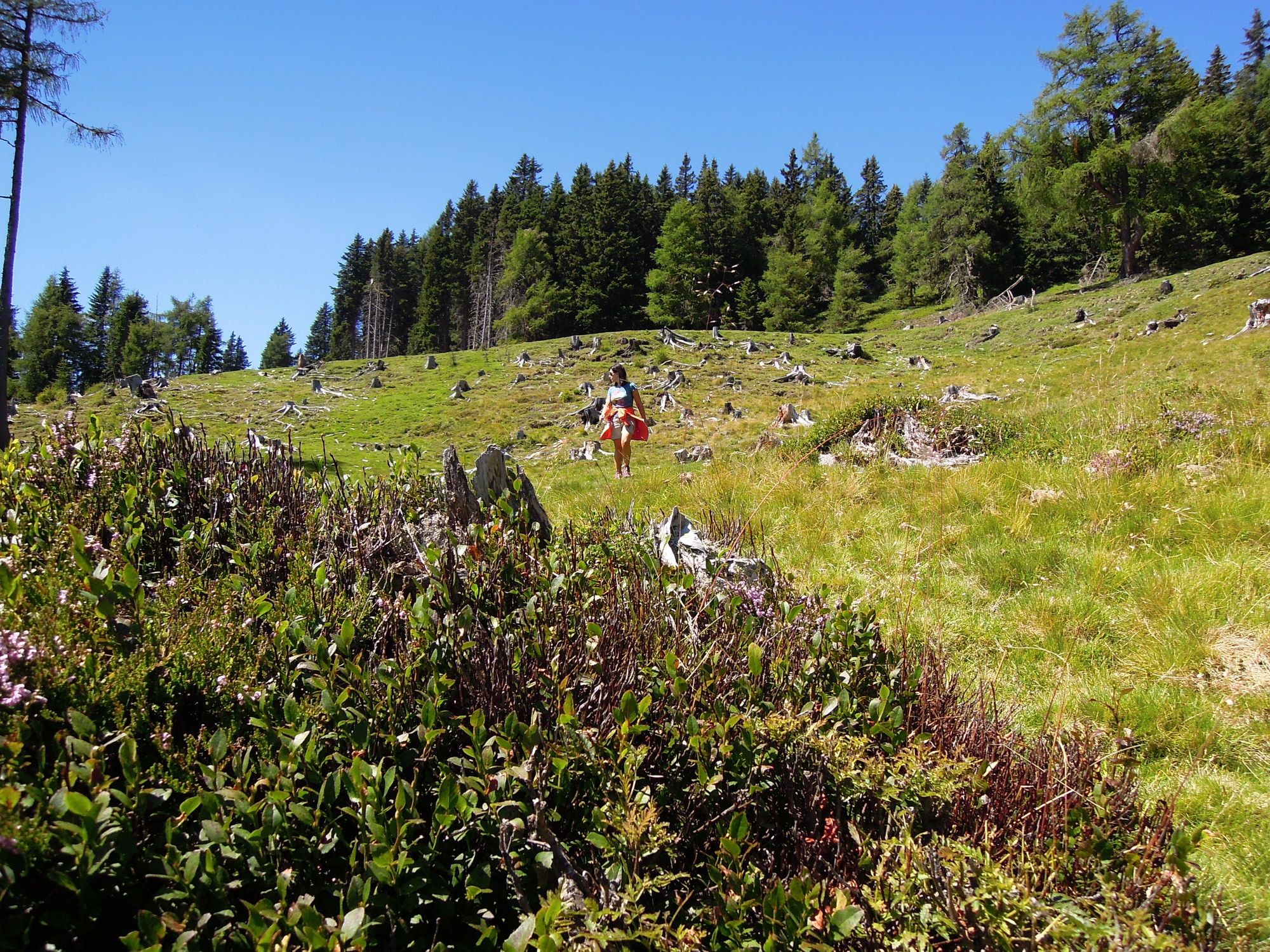
Gemütliche Wanderung
- Difficulty
-
easy
- Rating
-
- Starting point
-
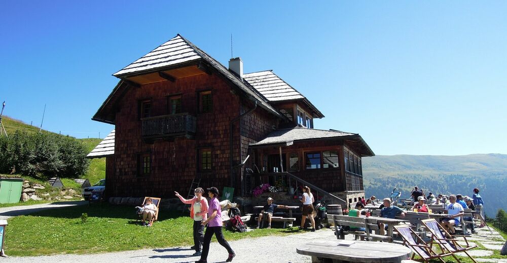
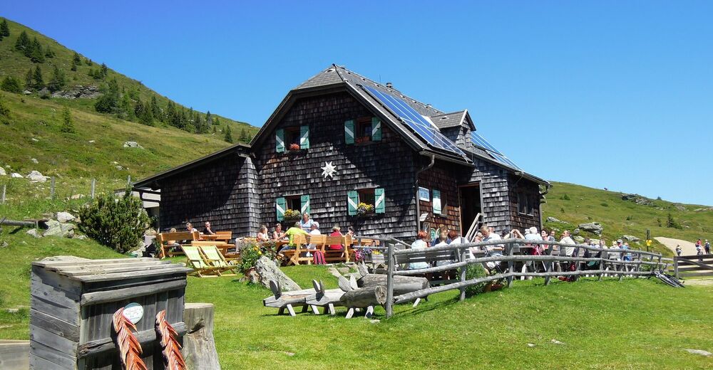
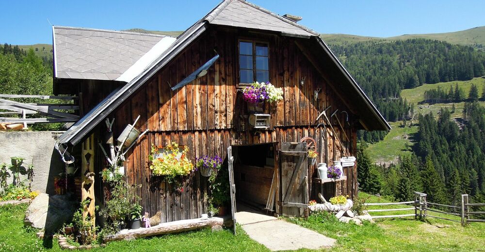
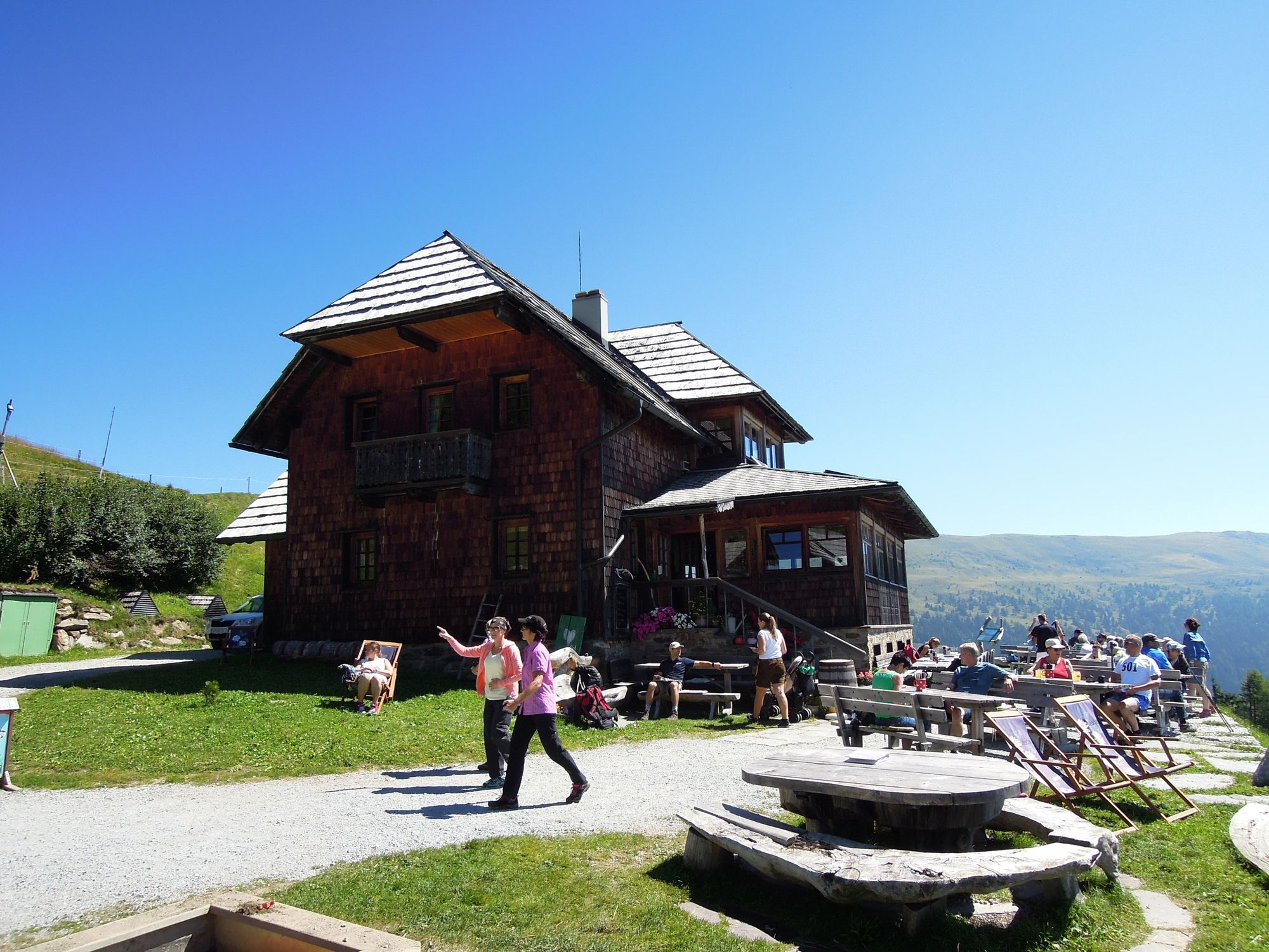
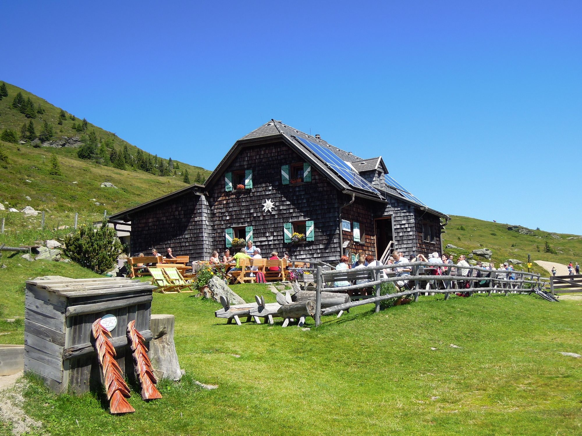
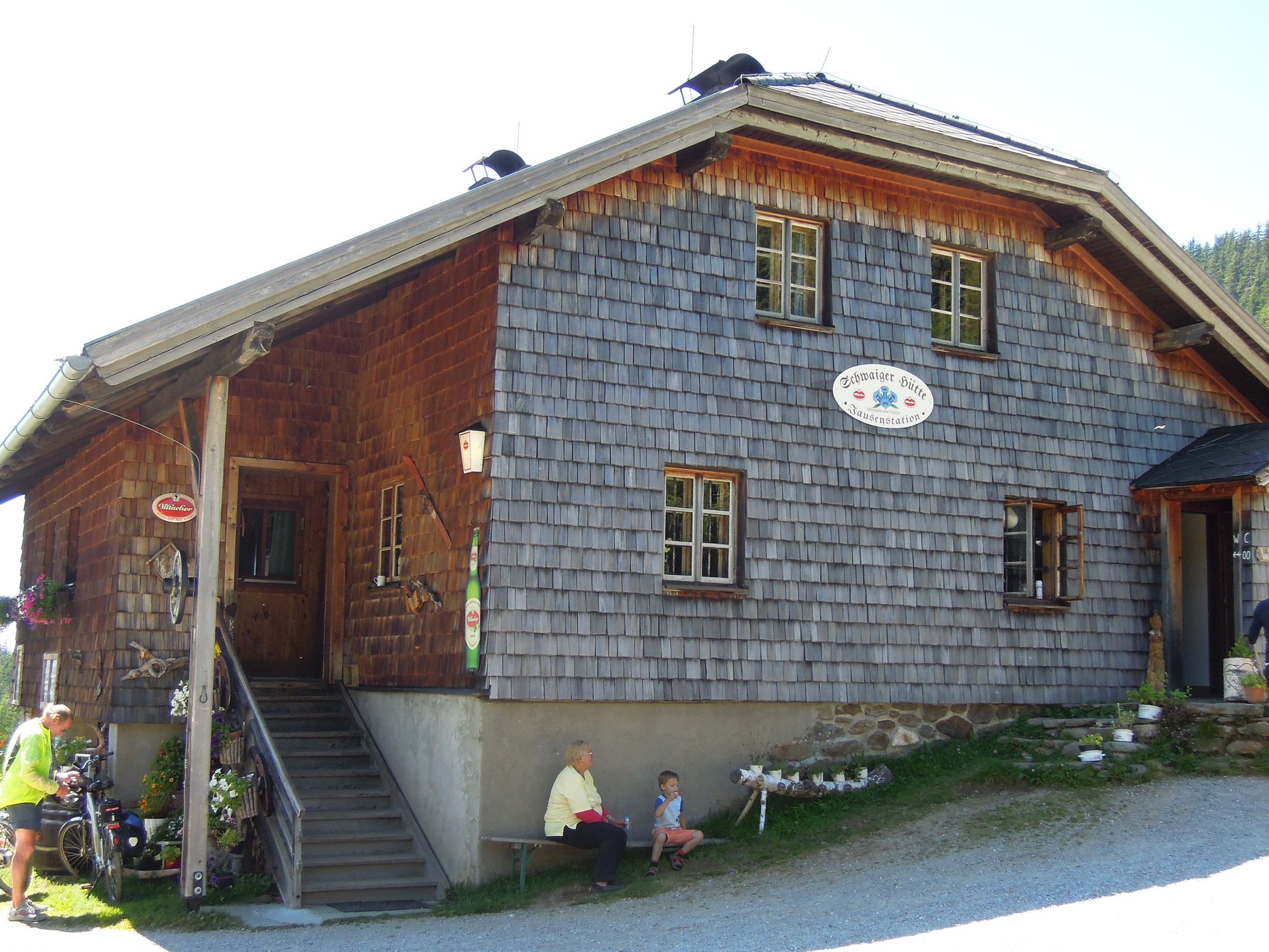
Schwaigerhütte
- Route
-
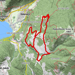
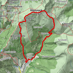
Schwaigerhütte0.0 kmAlexanderhütte1.7 kmMillstätter Hütte 1880 m3.6 kmSchwaigerhütte5.4 km
- Best season
-
JanFebMarAprMayJunJulAugSepOctNovDec
- Highest point
- Millstätter Hütte (1,876 m)
- Endpoint
-
Schwaigerhütte
- Rest/Retreat
-
Schwaigerhütte, Alexanderhütte, Millstätter-Hütte;
- Information
-
-
- Ticket material
-
-


GPS Downloads


Trail conditions
Asphalt
Gravel
Meadow
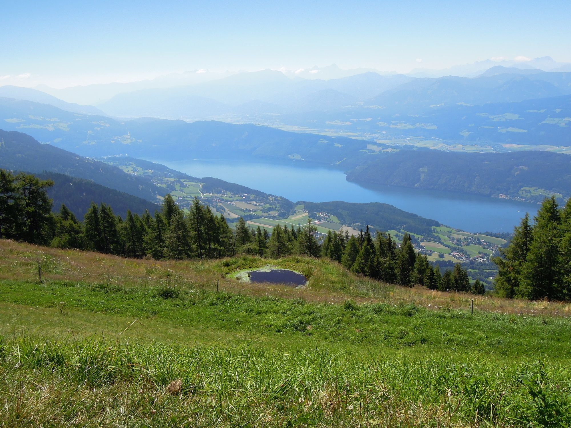
Forest
Rock
Exposed
Other tours in the regions