© Hotel Kreuzwirt - Franz Aigner

© Hotel Kreuzwirt - Franz Aigner

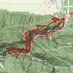
- Difficulty
-
easy
- Rating
-
- Route
-
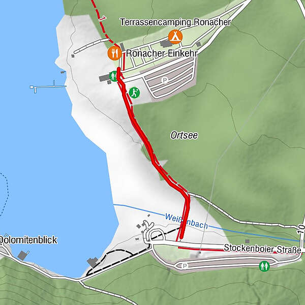
Ronacher Einkehr0.4 km
- Best season
-
JanFebMarAprMayJunJulAugSepOctNovDec
- Highest point
- 935 m
- Height profile
-


-

-
AuthorThe tour Seelehrpfad - Ostufer is used by outdooractive.com provided.
GPS Downloads


General info
Refreshment stop
Insider tip
A lot of view
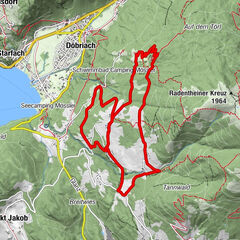
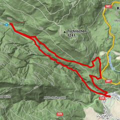
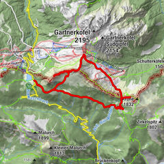
Other tours in the regions