© KSL Tourismus Marketing GmbH - Schober Erich
© Marktgemeinde Frantschach-St. Gertraud - Schober Erich
© Marktgemeinde Frantschach-St. Gertraud - Schober Erich
© KSL Tourismus Marketing GmbH - Schober Erich
© KSL Tourismus Marketing GmbH - Schober Erich
© KSL Tourismus Marketing GmbH - Schober Erich
© KSL Tourismus Marketing GmbH - Schober Erich
© KSL Tourismus Marketing GmbH - Schober Erich

© KSL Tourismus Marketing GmbH - Schober Erich
© KSL Tourismus Marketing GmbH - Schober Erich

- Brief description
-
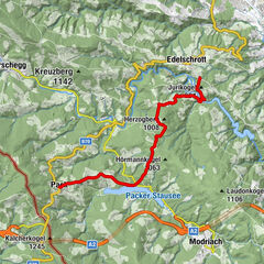
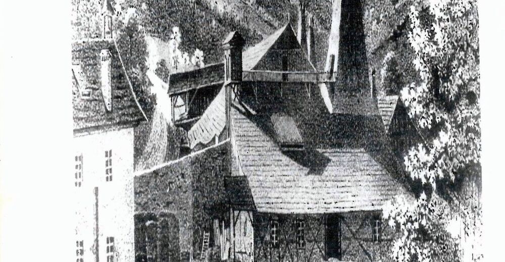
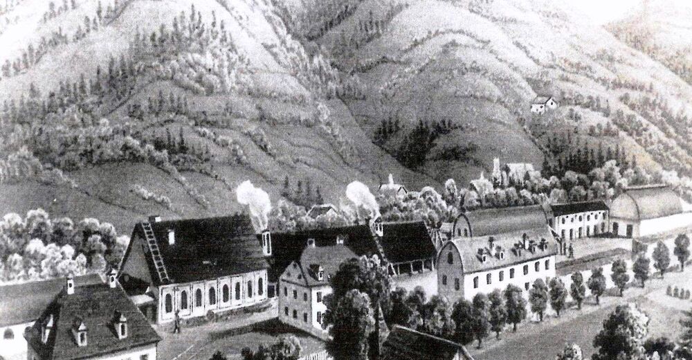
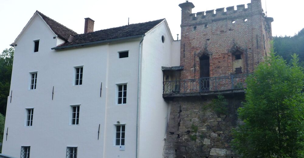
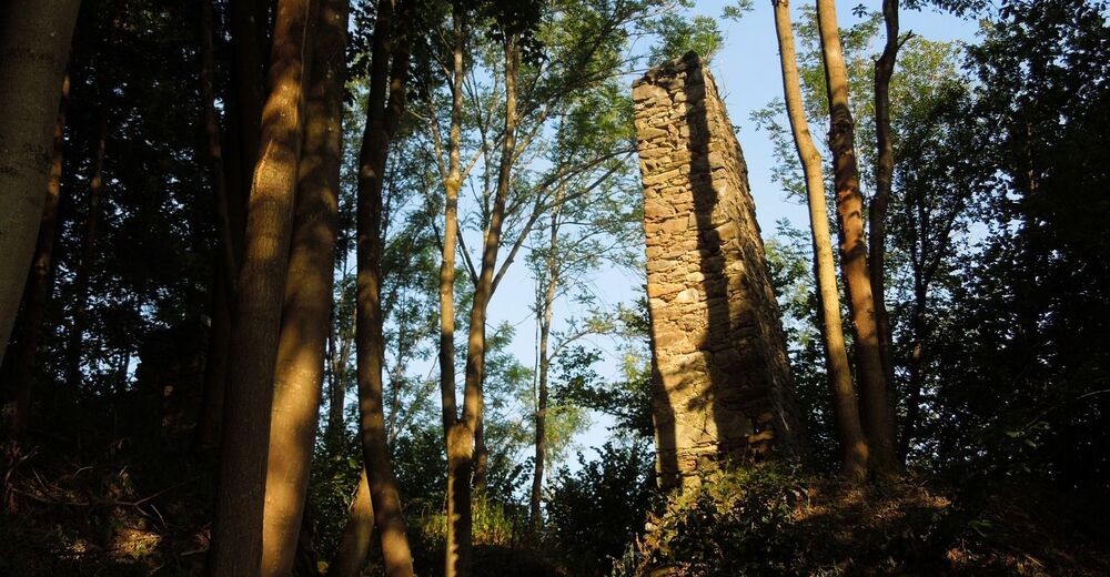
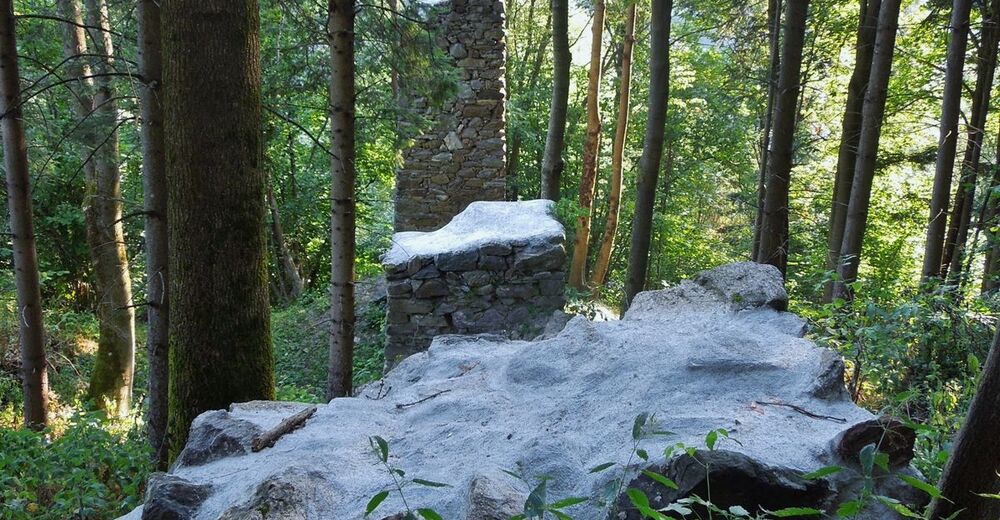
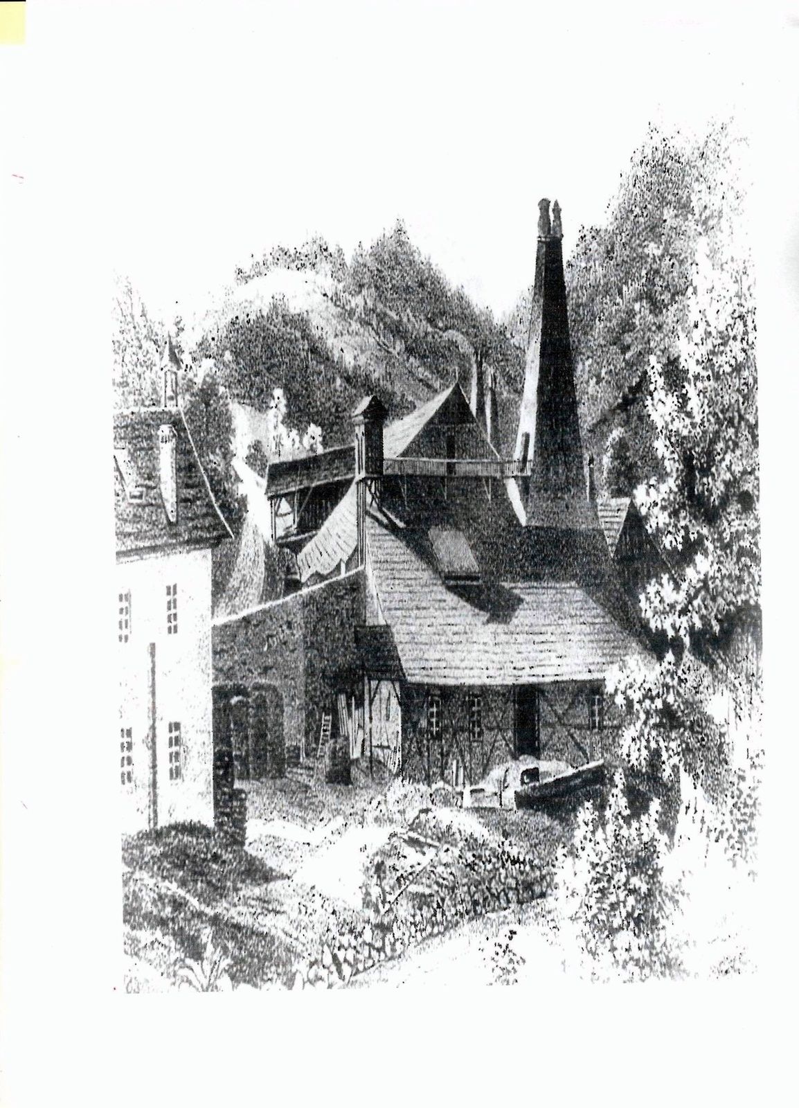
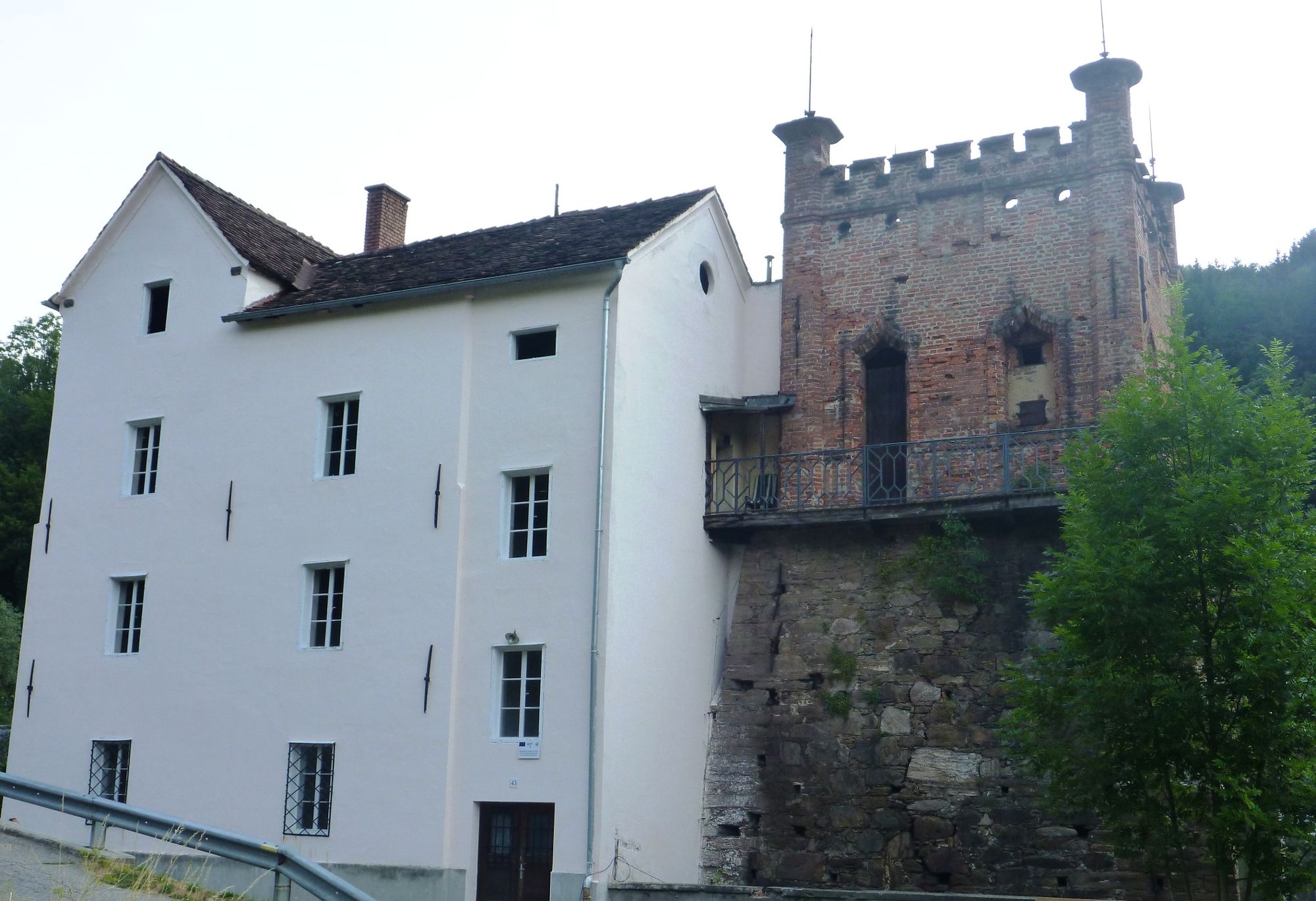
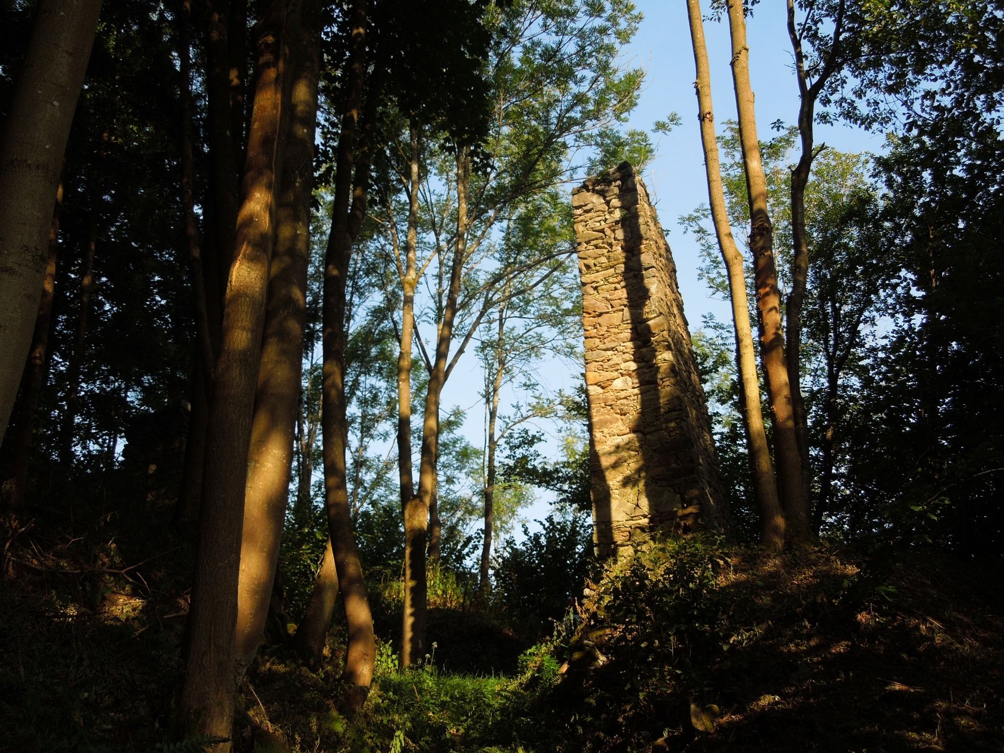
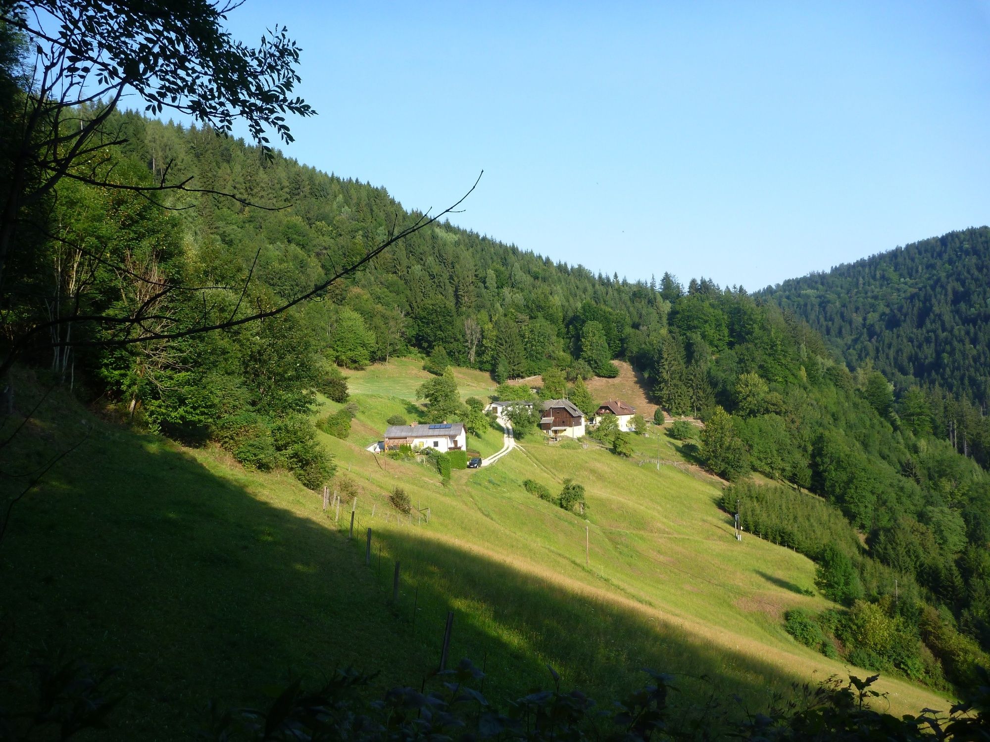
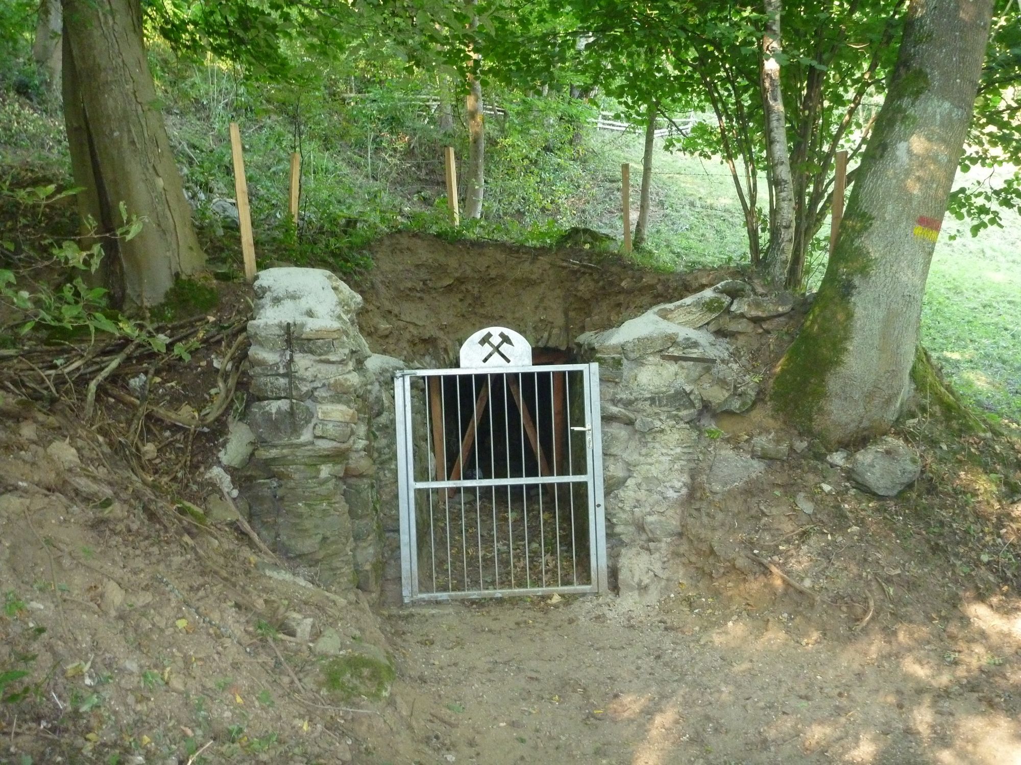
Erwandern Sie den Steig, den die Bergknappen bereits vom 16. bis in das späte 19. Jahrhundert benutzten, um das in den Stollen auf der Wölch unter unvorstellbaren körperlichen Strapazen gewonnene Roherz zum Hochofen Hammer zu bringen.
- Difficulty
-
easy
- Rating
-
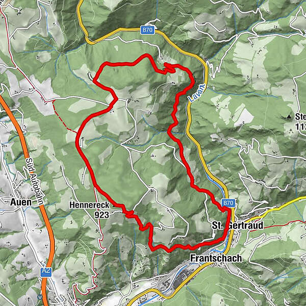
- Route
-
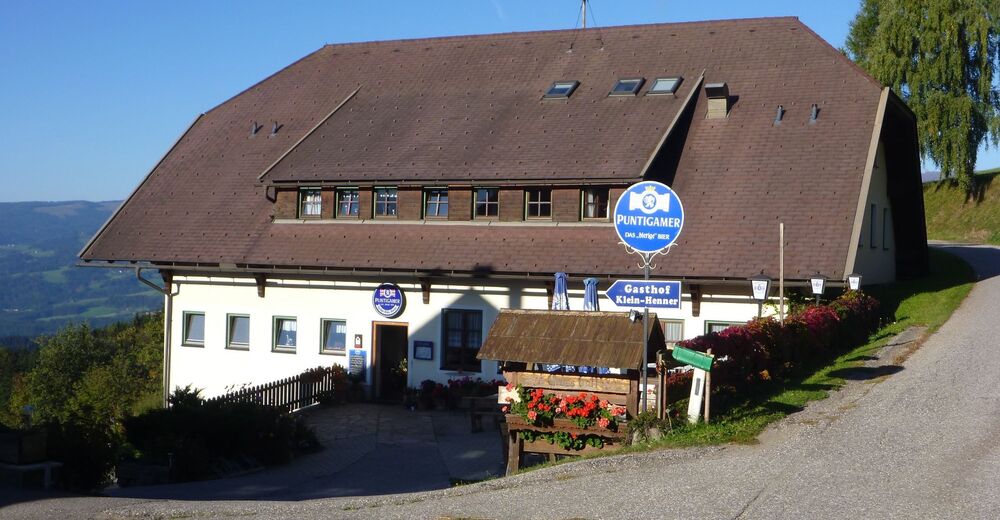
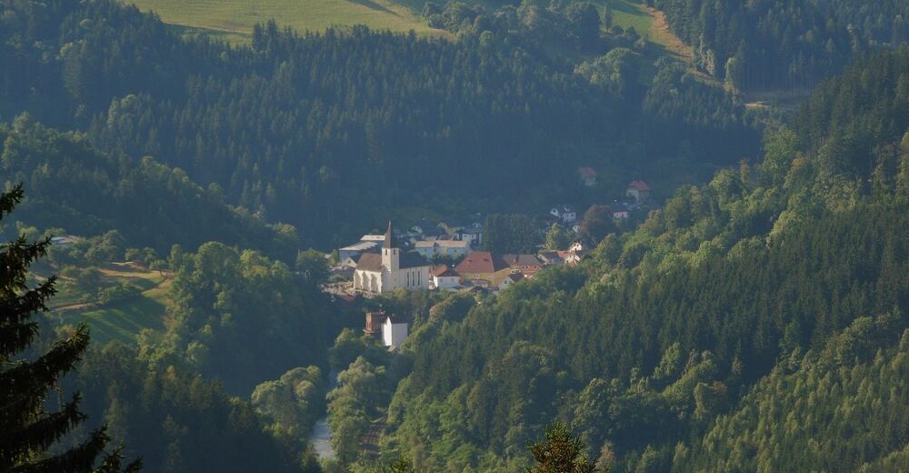
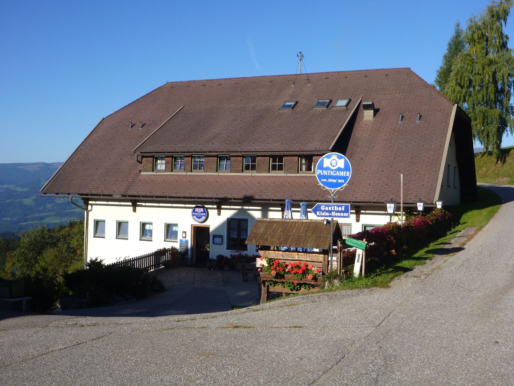
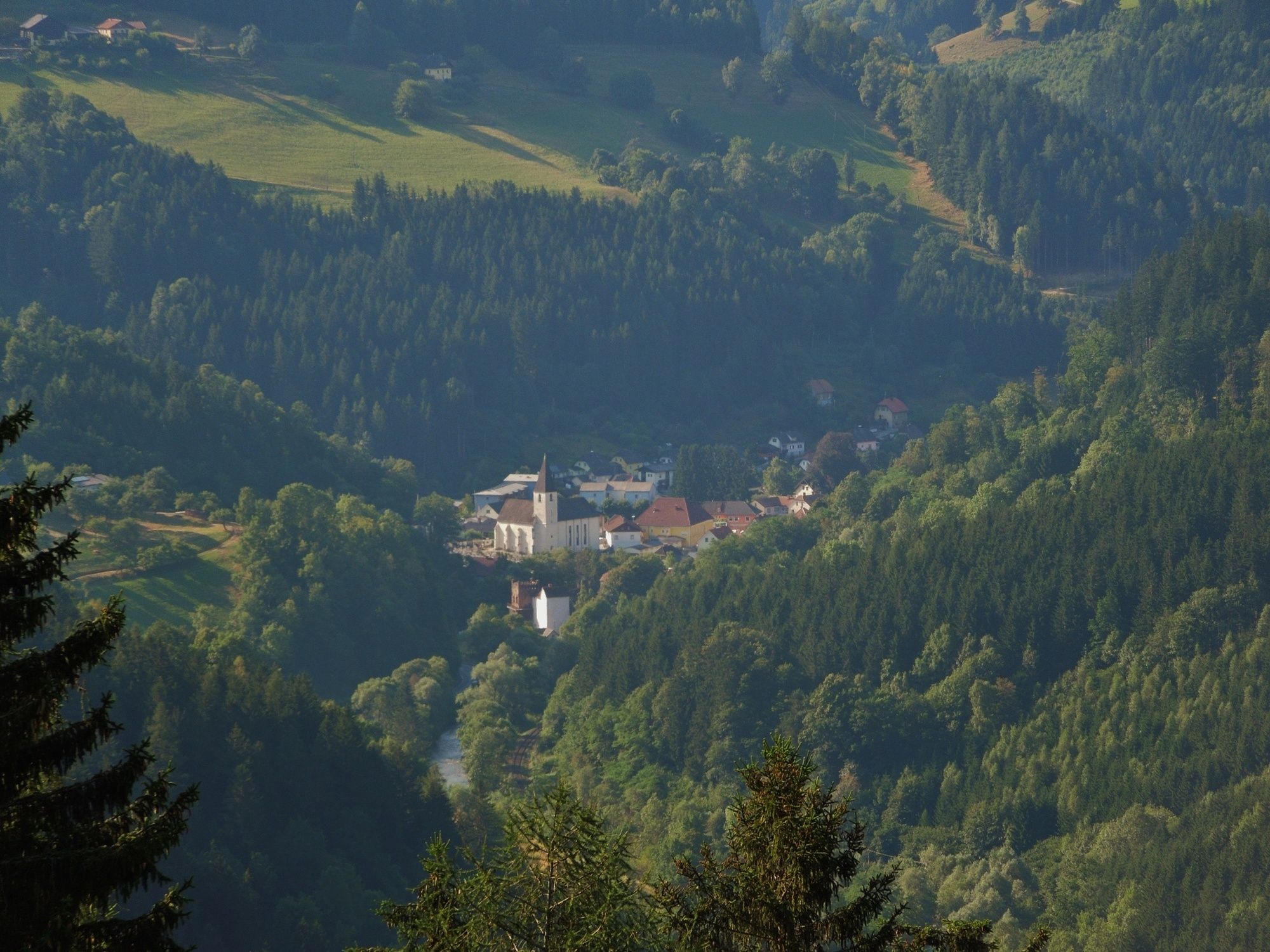
St. Gertraud0.0 kmHennereck (923 m)8.7 kmKlein-Henner8.9 kmFrantschach11.5 kmSt. Gertraud11.9 km
- Best season
-
JanFebMarAprMayJunJulAugSepOctNovDec
- Highest point
- 934 m
- Endpoint
-
Frantschach - St.Gertraud
- Height profile
-


-

-
AuthorThe tour Frantschach-St. Gertraud: Erzwanderweg 1 is used by outdooractive.com provided.
GPS Downloads


General info
Refreshment stop
Cultural/Historical
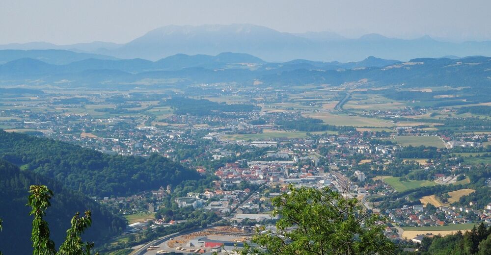
A lot of view
Other tours in the regions