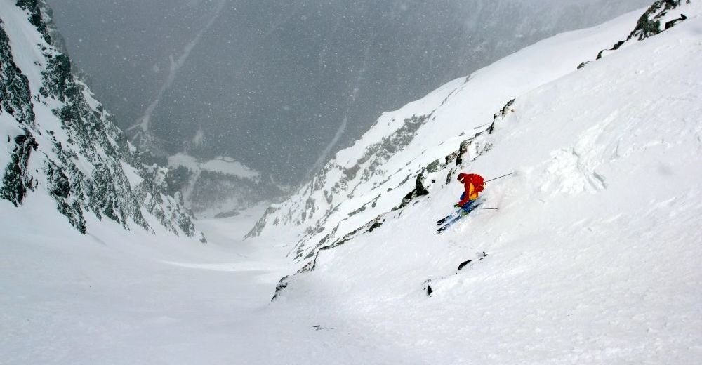
© Skitour Magazin - Stefan Loibl
© Skitour Magazin - Stefan Loibl
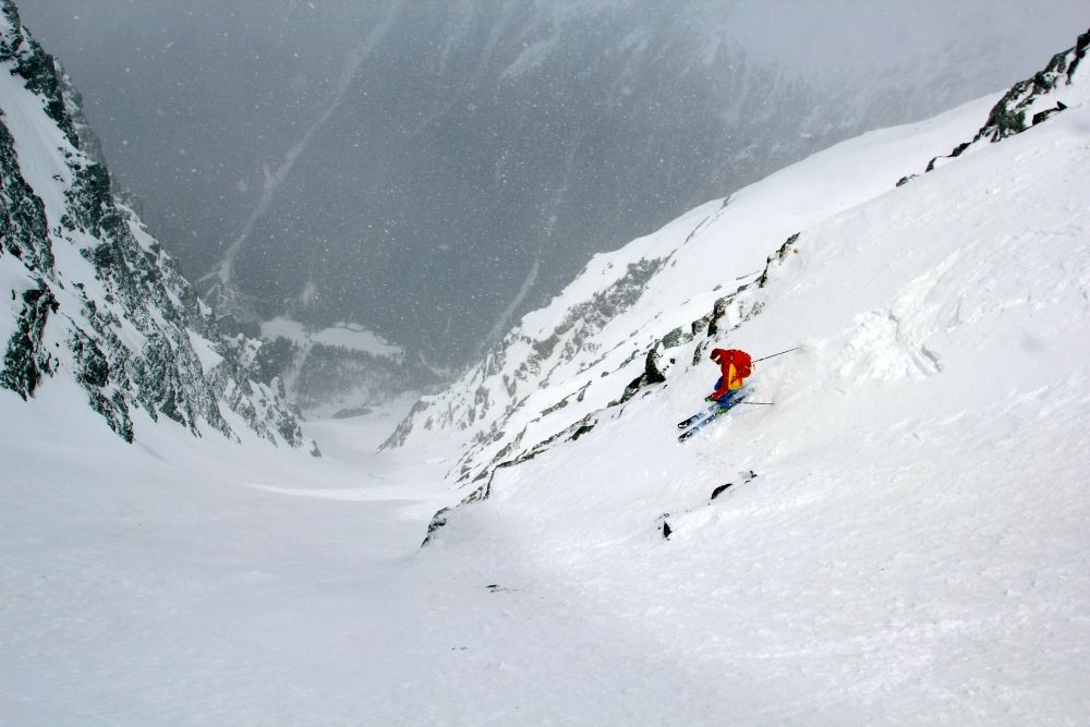
© Skitour Magazin - Stefan Loibl

© Skitour Magazin - Stefan Loibl
- Brief description
-
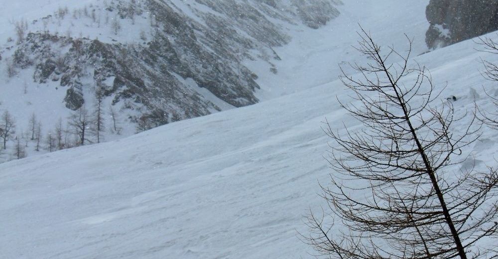
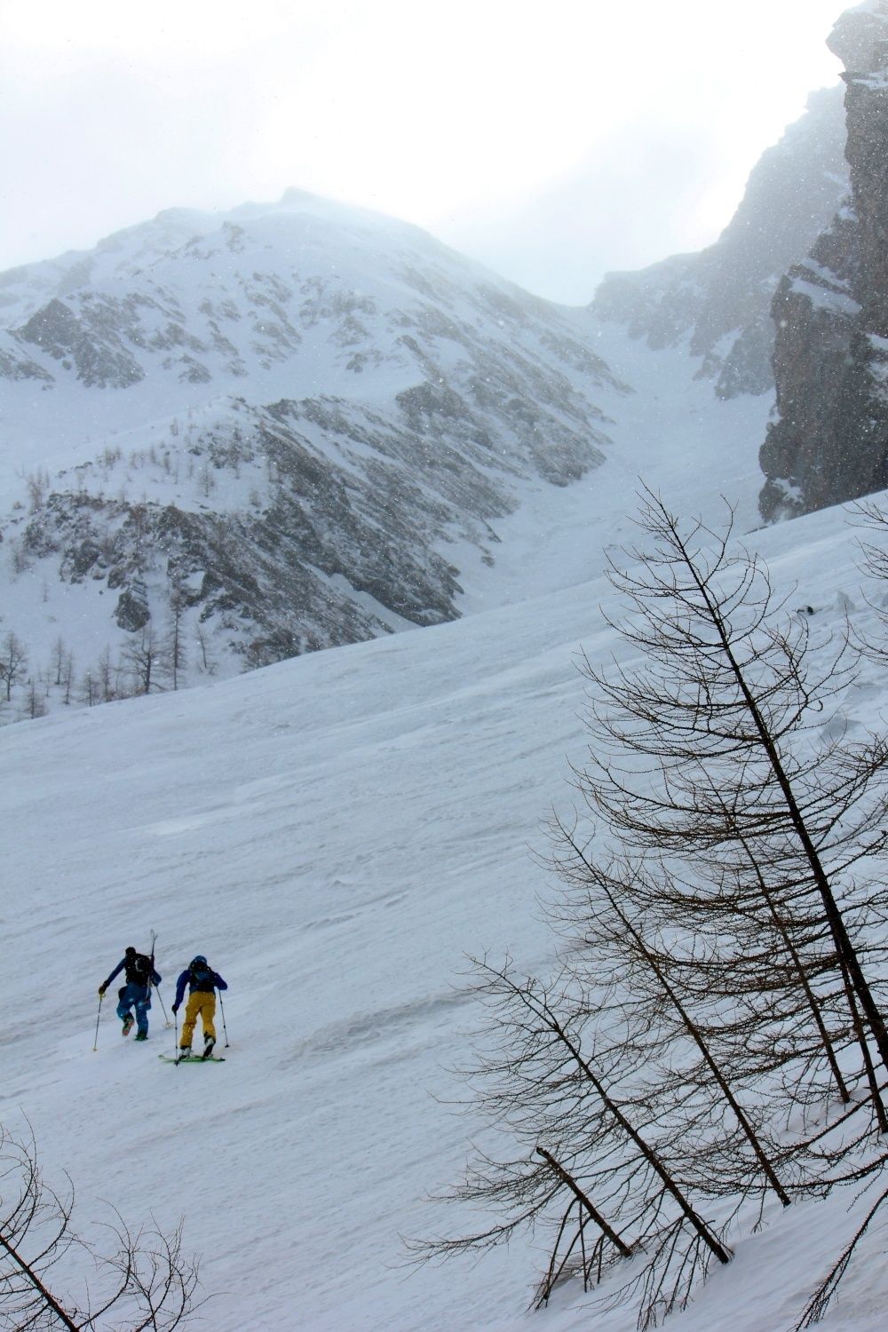
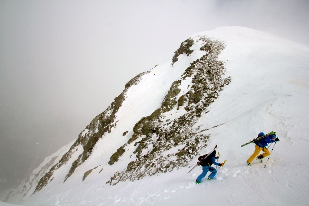
Steile, rassige Rinne auf einen einsamen, aber sehr lohnenden Gipfel
- Difficulty
-
difficult
- Rating
-
- Route
-
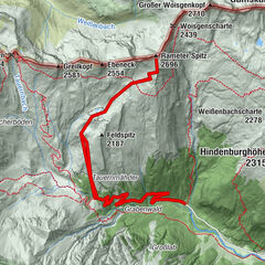
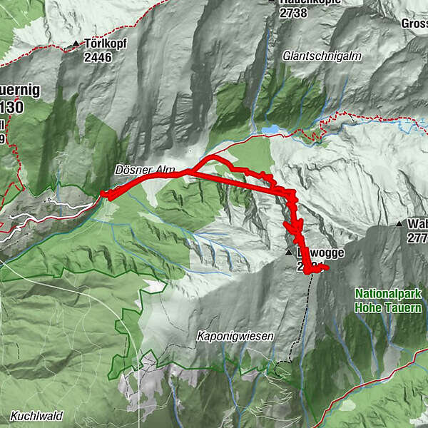
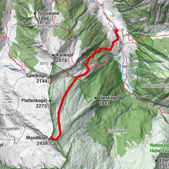
Zagutnigspitz (2,731 m)7.8 km
- Best season
-
AugSepOctNovDecJanFebMarAprMayJunJul
- Highest point
- 2,673 m
- Endpoint
-
Parkplatz im hinteren Dösner Tal
- Exposition
- Height profile
-

-

-
AuthorThe tour Skitour Zagutnig is used by outdooractive.com provided.
GPS Downloads


General info
Insider tip
Other tours in the regions


")