© Hohe Tauern - die Nationalpark-Region in Kärnten Tourismus GmbH - A. Kleinwächter

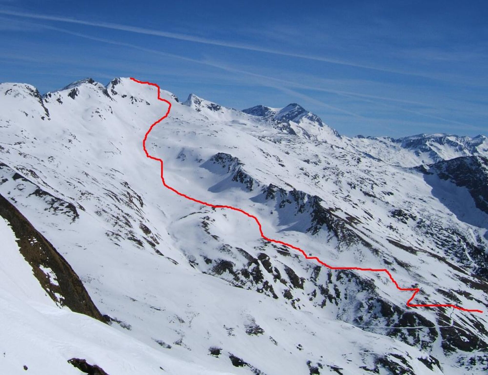
© Hohe Tauern - die Nationalpark-Region in Kärnten Tourismus GmbH - A. Kleinwächter

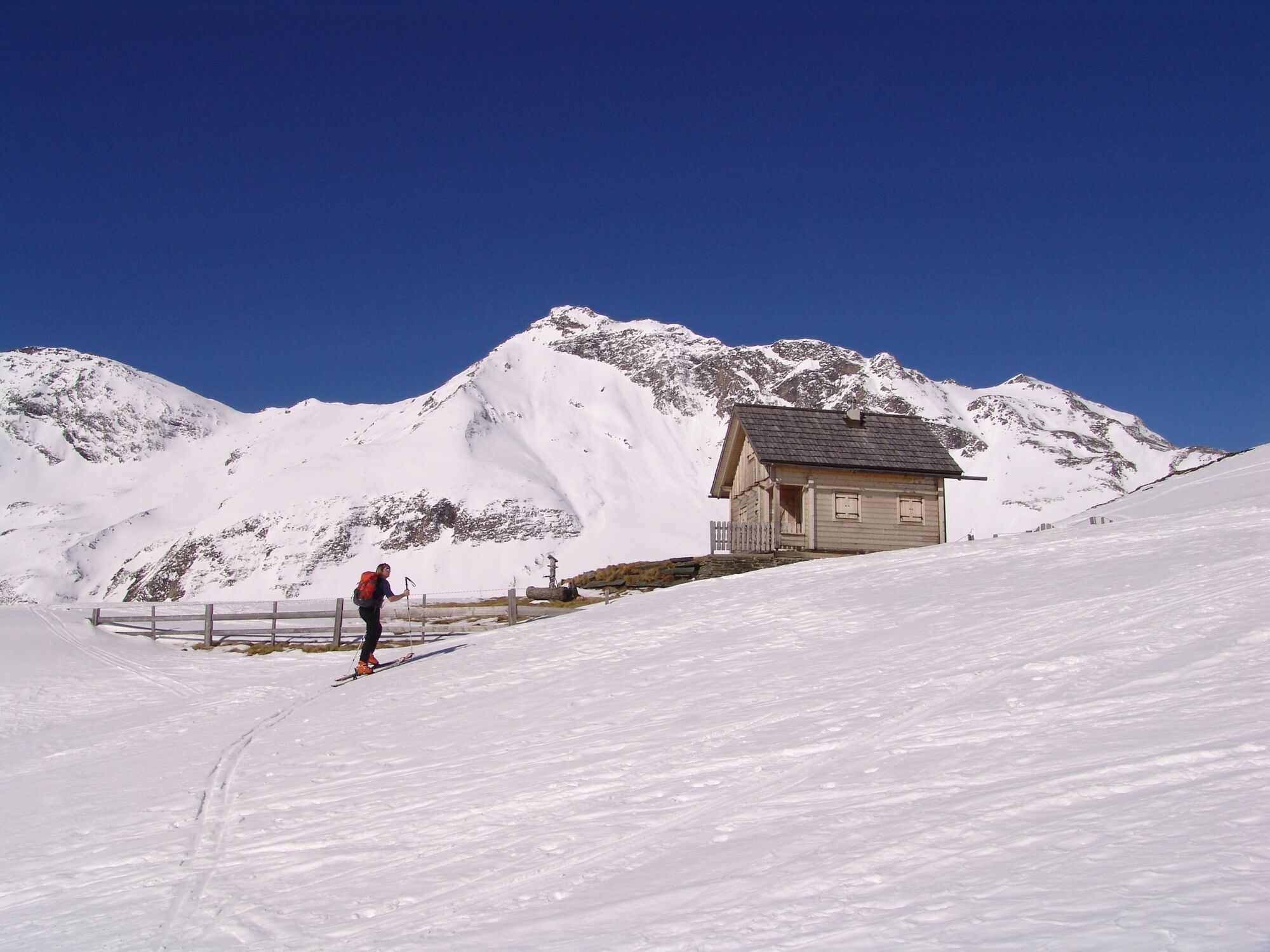
© Hohe Tauern - die Nationalpark-Region in Kärnten Tourismus GmbH - P. Angermann
Tour data
11.39km
1,287
- 2,649m
982hm
1,336hm
03:00h

- Brief description
-
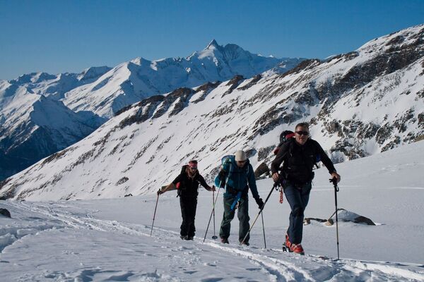
Zurecht eine der bekanntesten und beliebtesten Skitouren im Nationalpark Hohe Tauern Kärnten!
- Difficulty
-
medium
- Rating
-
- Route
-
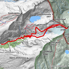
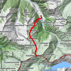
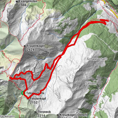
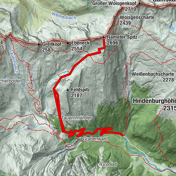
Rameter Spitz (2,696 m)3.6 kmStockerhütte11.1 km
- Best season
-
AugSepOctNovDecJanFebMarAprMayJunJul
- Highest point
- 2,649 m
- Endpoint
-
Romatenspitze
- Exposition
- Height profile
-

- Author
-
The tour Romatenspitze (2.696 m) is used by outdooractive.com provided.
GPS Downloads


General info
Refreshment stop
A lot of view
Other tours in the regions