

- Brief description
-
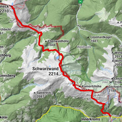
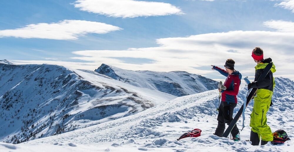
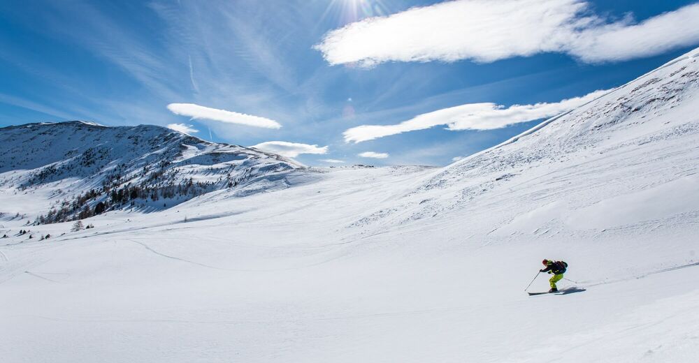
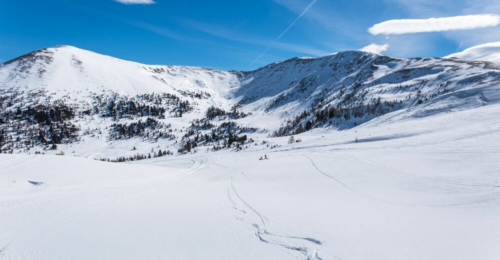
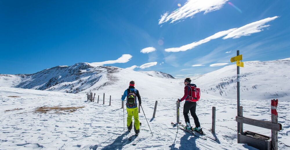
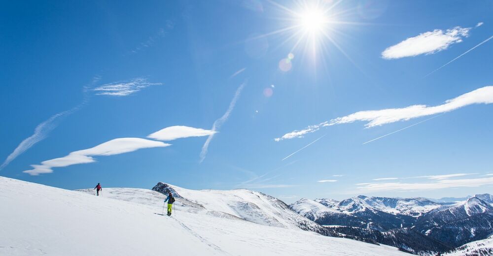
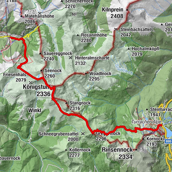
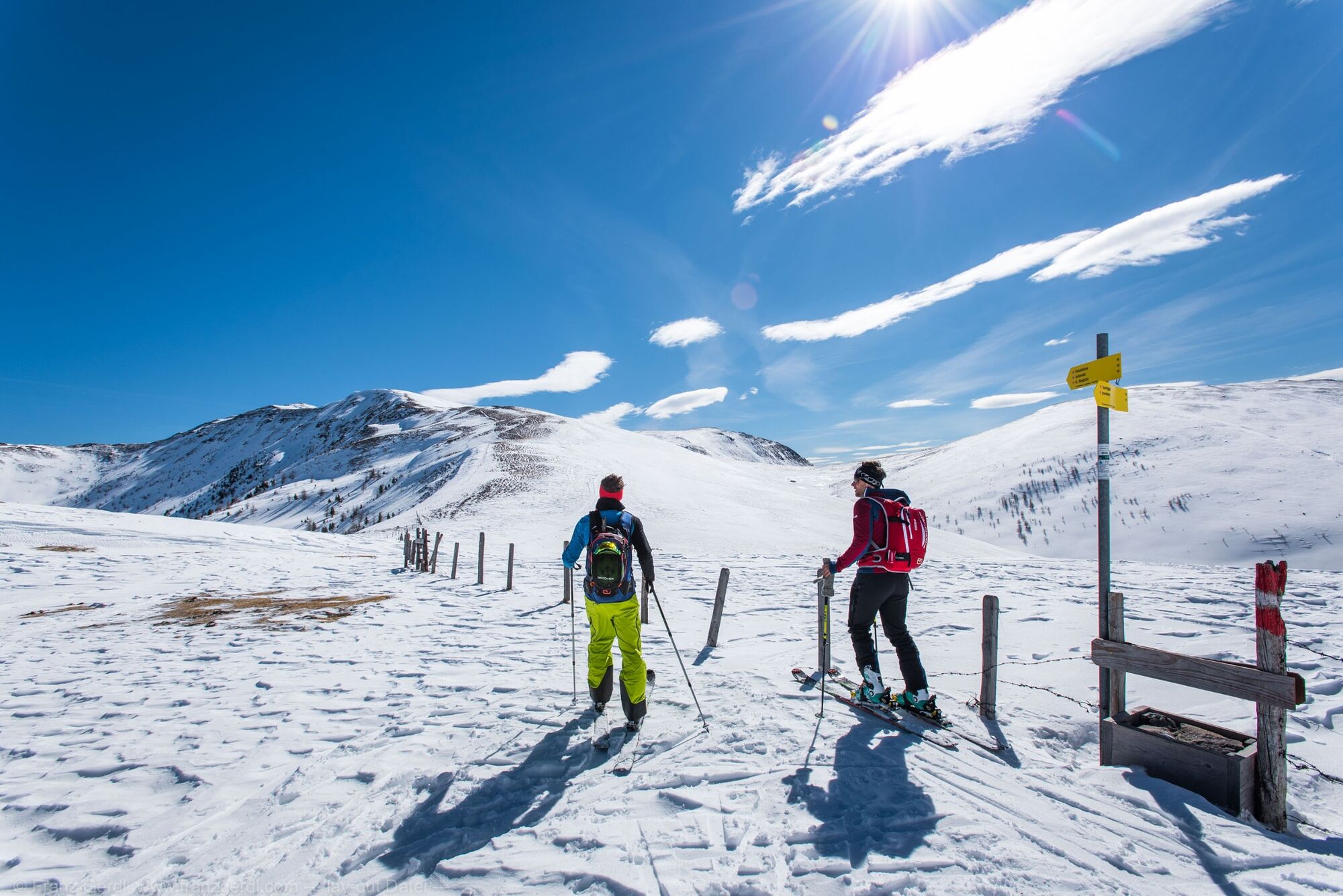
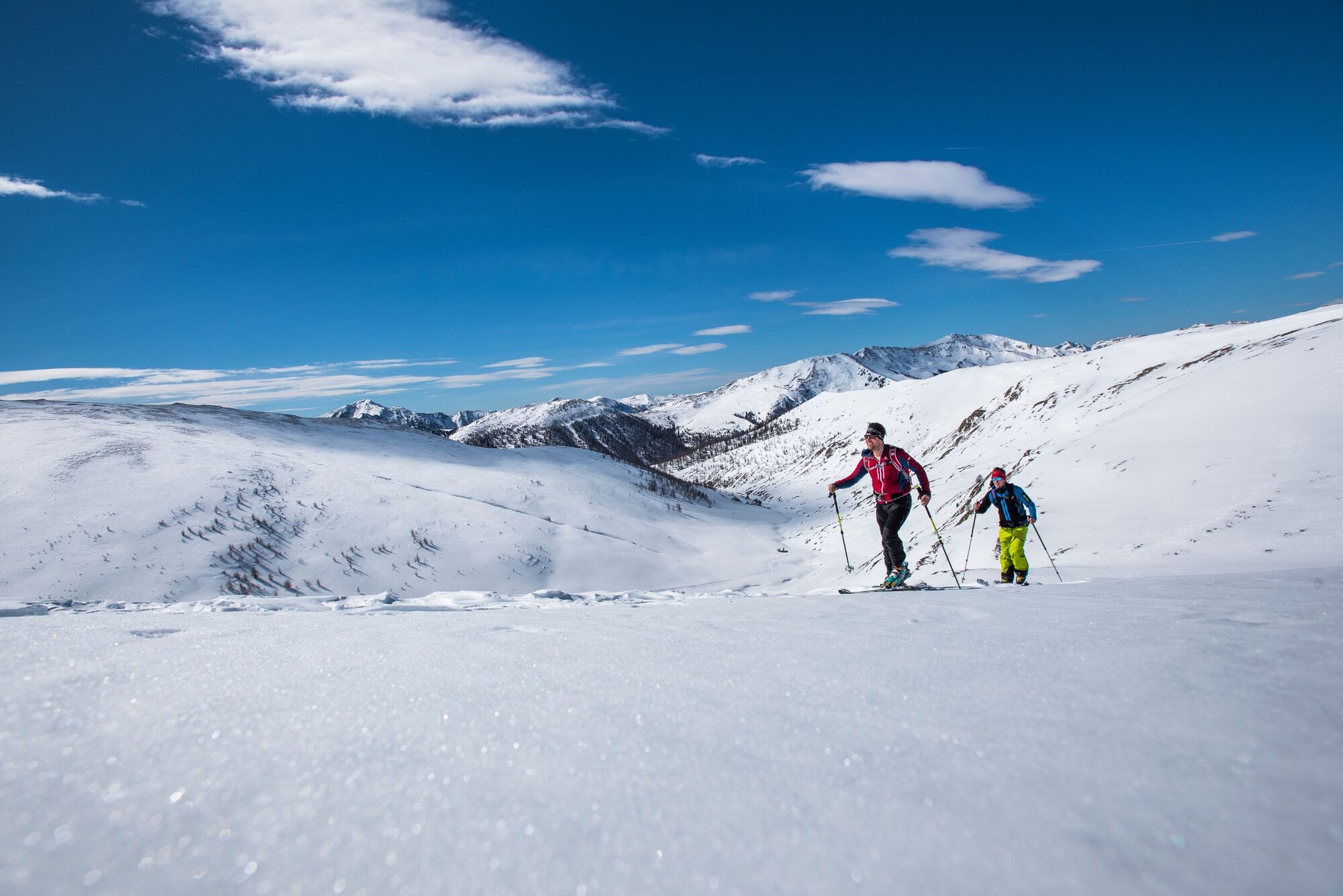
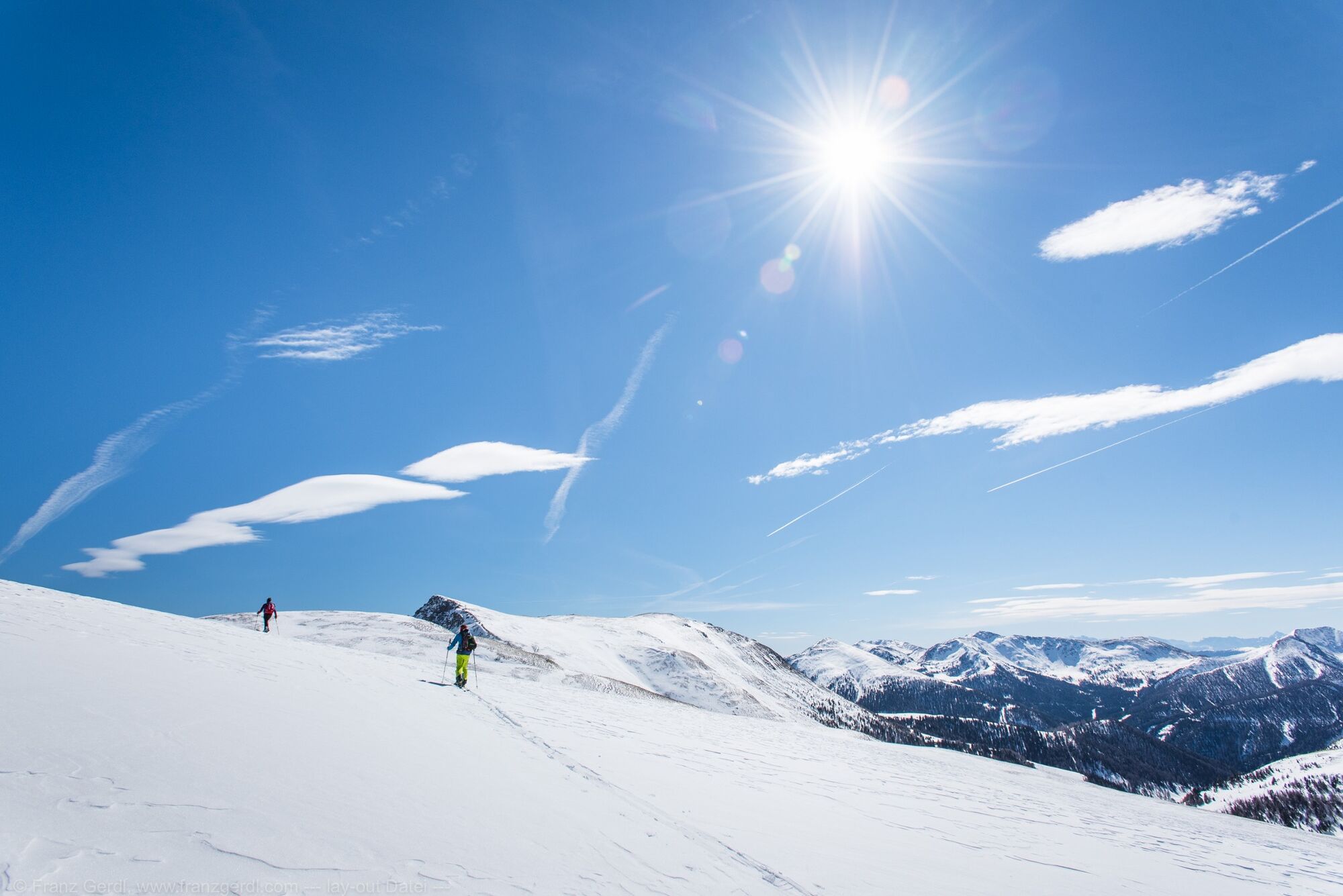
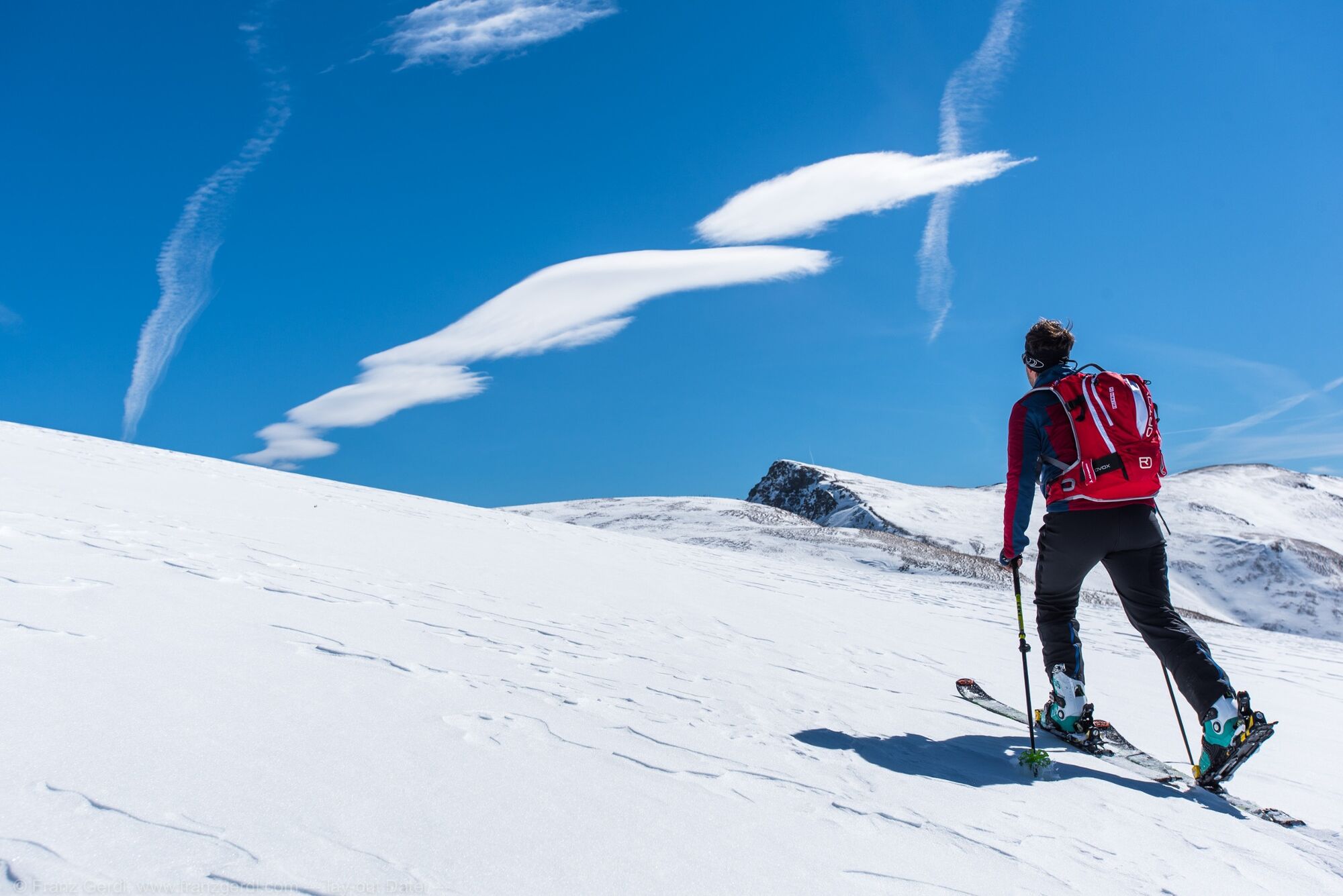
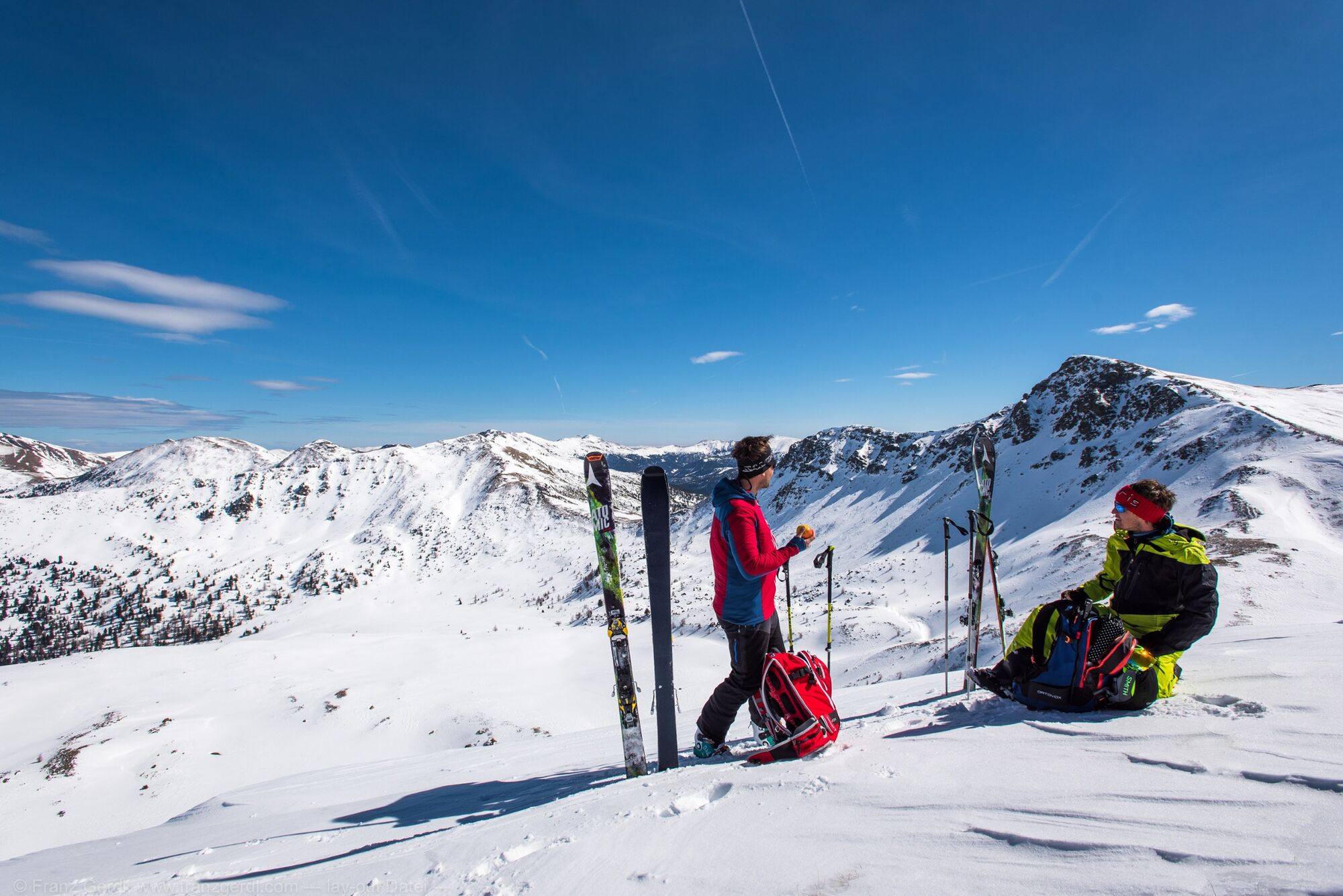
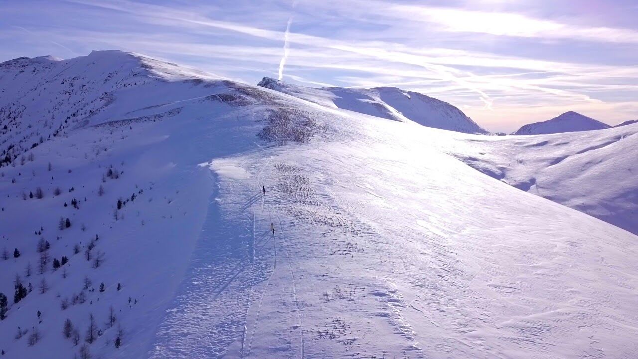
Von der Innerkrems auf die Turracher Höhe – Die Königsetappe
- Difficulty
-
difficult
- Rating
-
- Route
-
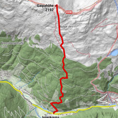
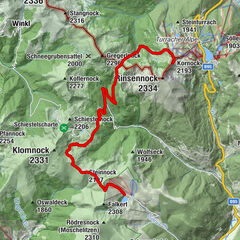
Einkehr0.4 kmSaureggalm1.5 kmGrünleitenscharte (2,147 m)3.2 kmFriesenhalshöhe (2,246 m)4.8 kmKönigstuhlscharte (2,185 m)5.2 kmKönigstuhl (2,336 m)6.0 kmKarlnock (2,310 m)6.6 kmStangscharte (2,076 m)8.7 kmGregerlnock (2,296 m)10.5 kmK-Alm16.4 km
- Best season
-
AugSepOctNovDecJanFebMarAprMayJunJul
- Highest point
- 2,318 m
- Endpoint
-
Turracher Höhe
- Exposition
- Height profile
-

- Author
-
The tour Nockberge-Trail: Skiroute Etappe 2 is used by outdooractive.com provided.
GPS Downloads


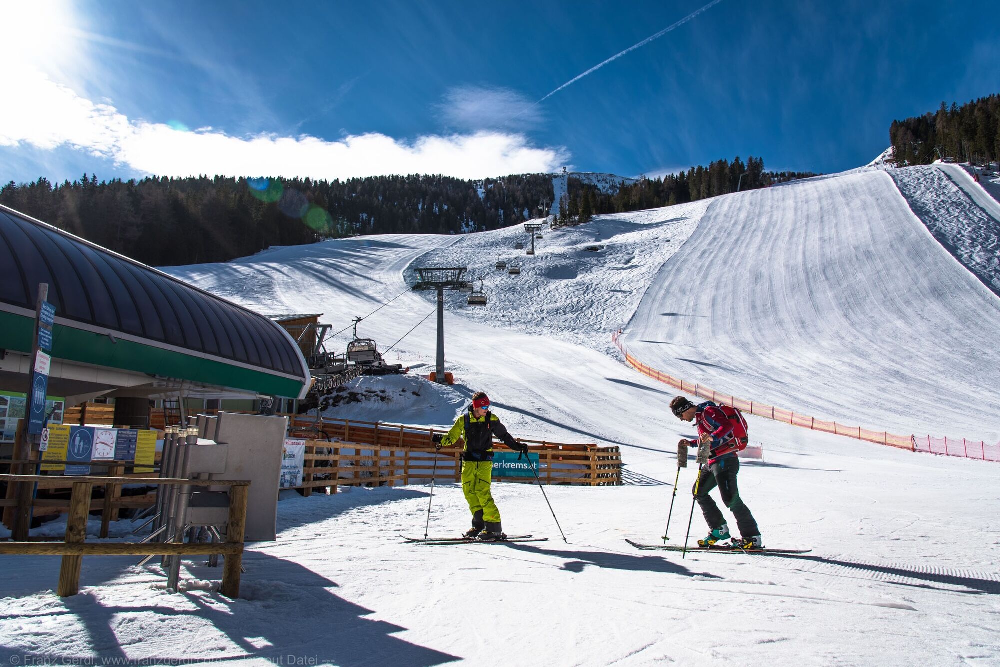
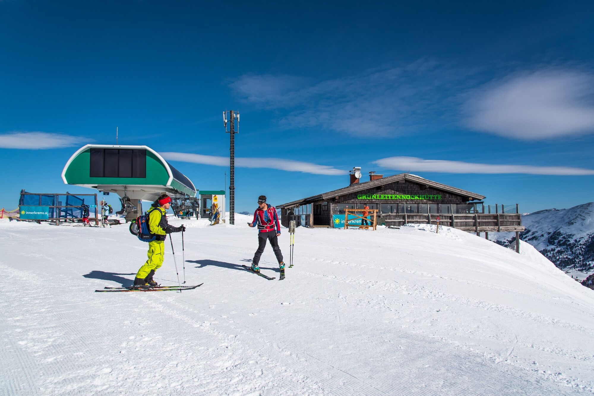
General info
Refreshment stop
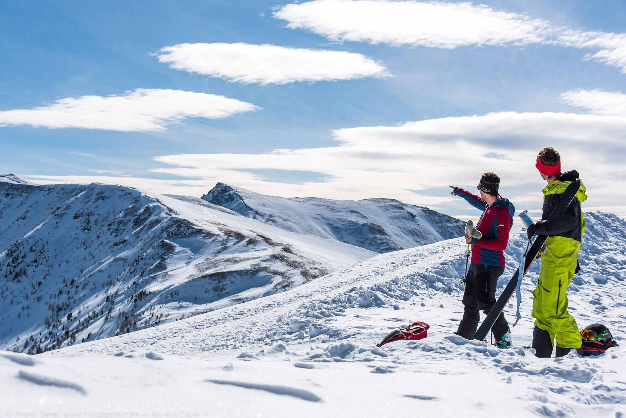
A lot of view
Other tours in the regions