
- Brief description
-
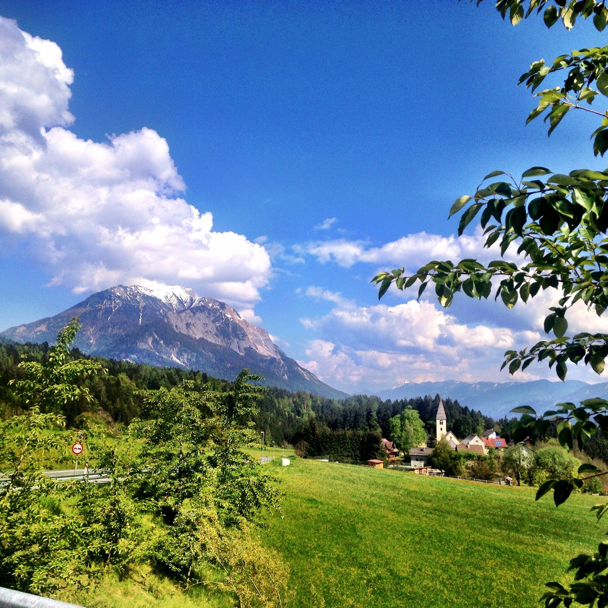
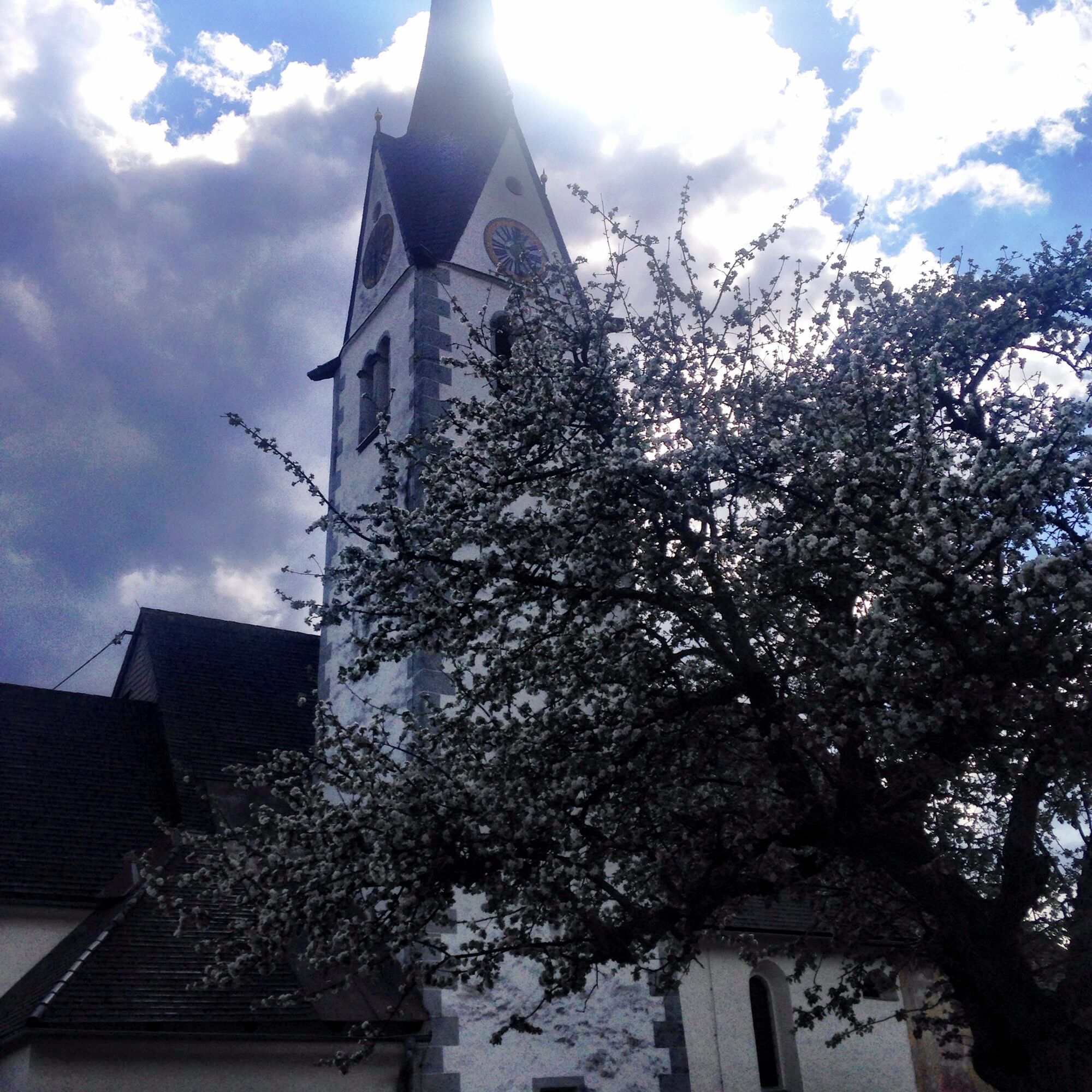
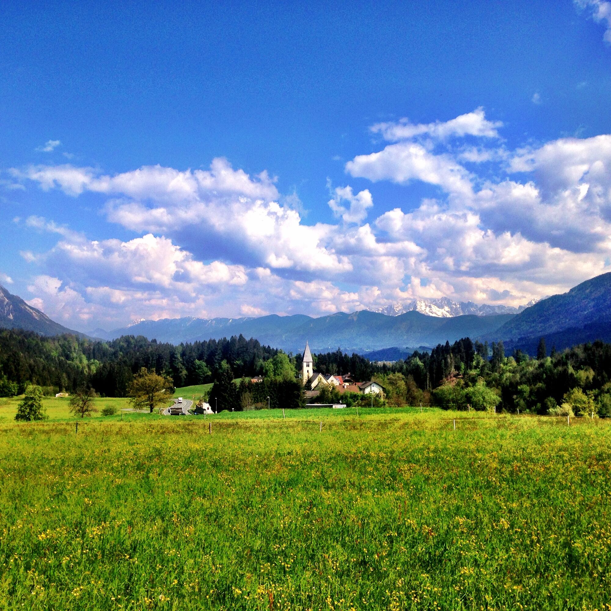
The tour to Matschiedl and to the Rauterbauer runs in a varied way through several romantic villages. Uphill and downhill passages change constantly, and the underground often varies as well.
- Difficulty
-
medium
- Rating
-
- Route
-
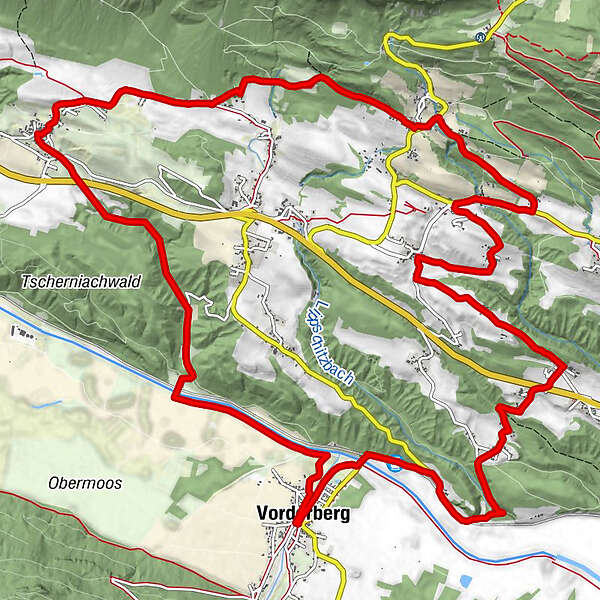
Ortsburg Vorderberg0.1 kmVorderberg0.1 kmSt. Stefan-Vorderberg (561 m)1.2 kmBodenhof1.8 kmKarnitzen3.1 kmBichlhof5.2 kmHadersdorf6.2 kmLatschach7.0 kmTratten7.6 kmSankt Lucia7.7 kmSternig7.8 kmGasthof Moser8.9 kmZum Gustl9.8 kmMatschiedl9.9 kmKöstendorf13.8 kmNieselach16.7 kmVorderberg19.0 kmOrtsburg Vorderberg19.0 kmPeter-Paul Kirche19.1 km
- Best season
-
JanFebMarAprMayJunJulAugSepOctNovDec
- Description
-
The tour to Matschiedl and to the Rauterbauer runs in a varied way through several romantic villages. Uphill and downhill passages alternate constantly, and the underground often varies as well.
Road surface:
Asphalt Gravel Forest trails Meadow pathseasy, very short trail passages - Directions
-
From the starting point, go northwards along the Gail and the railway, turn right along an asphalt road to the first bend, turn right here and go downhill slightly to a crossroads (km 1,7), turn left uphill to the village of Karnitzen, 632m.
At km 2,4 keep right and go uphill to the B111 (map 4; km 3,6); after 20m turn left uphill to St. Paul,
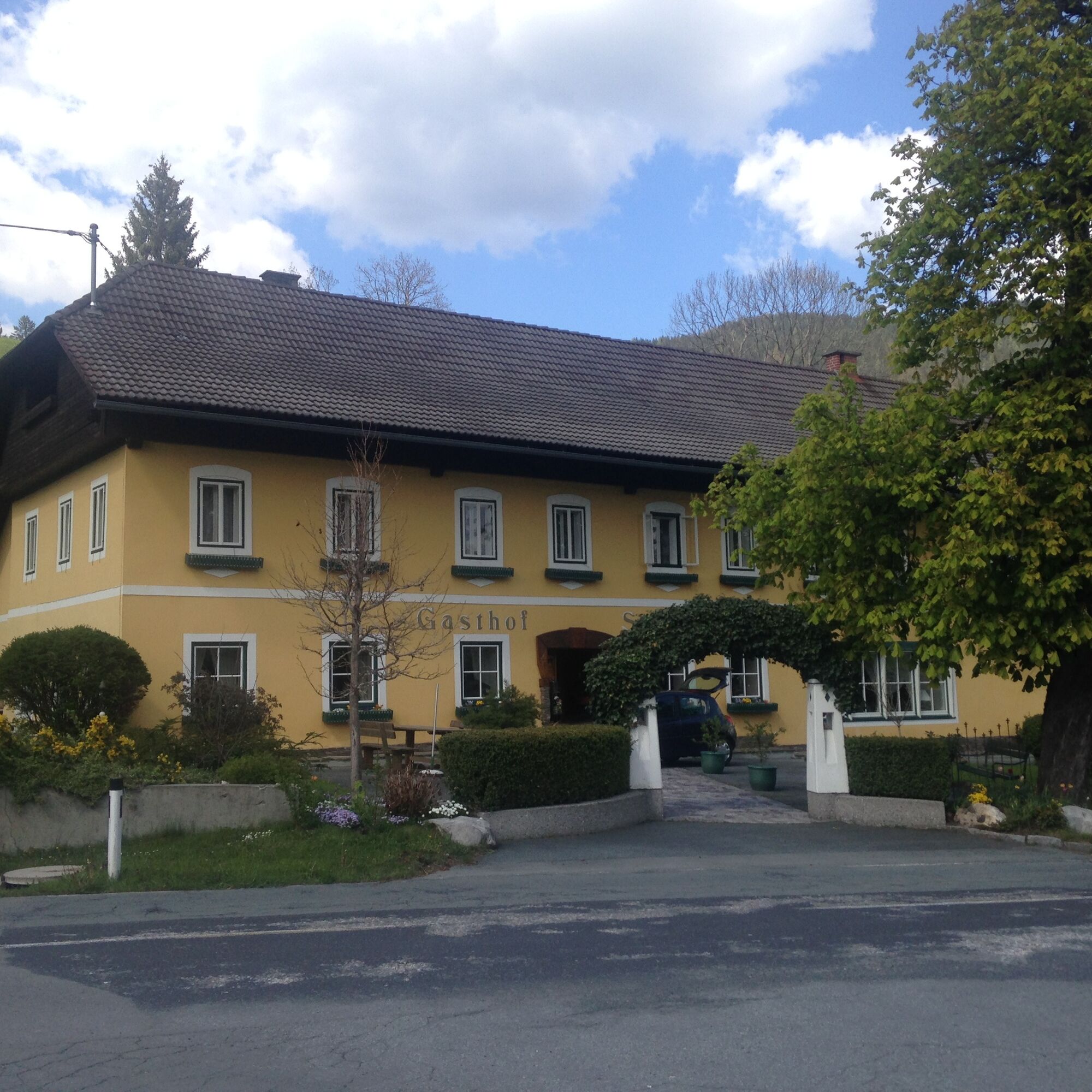
at km 4,0 turn left and pass the castle Bichelhof to Hadersdorf, 750m (km 5,9)Continue north to Tratten, then east on a country road towards Kerschdorf, turn left at km 7,2 (map 6) to Matschiedl;
At km 8,5 (map 7) join the road to Windischer Höhe, turn left downhill and immediately right to Rauterbauer, pass through a farm, at the big tree turn left downhill along a gravel path,
at km 10,2 cross the stream, before the first houses, turn right off the dirt road to a forest crossing, past a gravel pit
from km 10,9 along an asphalt road to Köstendorf;
turn left at Gasthof Kreuzwirt (km 12,9), downhill along a narrow asphalt road with a slight gradient to the B111 underpass (map 9; km 13,2), downhill along a gravel road,
at km 14,8 the road merges into an asphalt road, here downhill to the right, over the Gail bridge to cycle path R3, keep left and return to Vorderberg
- Highest point
- 872 m
- Endpoint
-
Vorderberg
- Height profile
-

- Equipment
-
Helmet duty!!!!!!
Right clothing: Do not only adapt your clothing to the current weather conditions.
Also pack warm clothing, a spare jersey and rain protection in summer, especially in the early and late seasons.
Emergency equipment: bandages, repair kit (spare hose, pump, tools), map, mobile phone and possibly
GPSATTENTION: In the mountains reception is not guaranteed everywhere!
Take enough to drink with you and plan a stopover in good time - Safety instructions
-
When the line is closed - absolute driving ban!
Always drive on half sight.
Always adjust your speed so that you can stop in time before obstacles or avoid oncoming traffic
Watch out for pedestrians and hikers and drive slowly past
Driving on the track with motorcycles will be reported without exception.
The use of the bicycle routes is at your own risk.
In the forest, especially camping, camping in the dark, making fires, disturbing game or entering forest cultures under 3 m tree height are prohibited by law.
Check your sports equipment regularly and wear a helmet
Only the use of the approved, marked routes is permitted.
Never leave the marked pathWe ask for consideration for the environment.
Avoid noise and pollution.
Restrict driving in the twilight to protect wild animals.
Observe the road traffic regulations and provide first aid if necessary.
Please always close gates and gates.
Caution during forestry work!
Correct self-assessmentStart in time and plan for reserves
Leave higher altitudes in bad weather
Make sure that you can get through safely if there are impassable stretches of road.
If you do not feel safe, turn back soon enough
For a safe cooperation please follow the Fair Play rules (Link) Emergency call: (+43 4282)112 - Tips
-
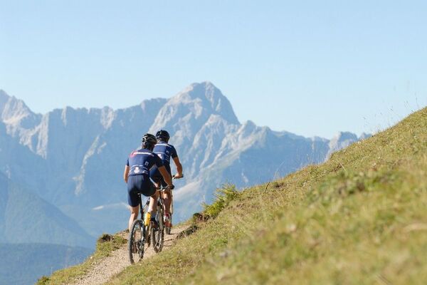
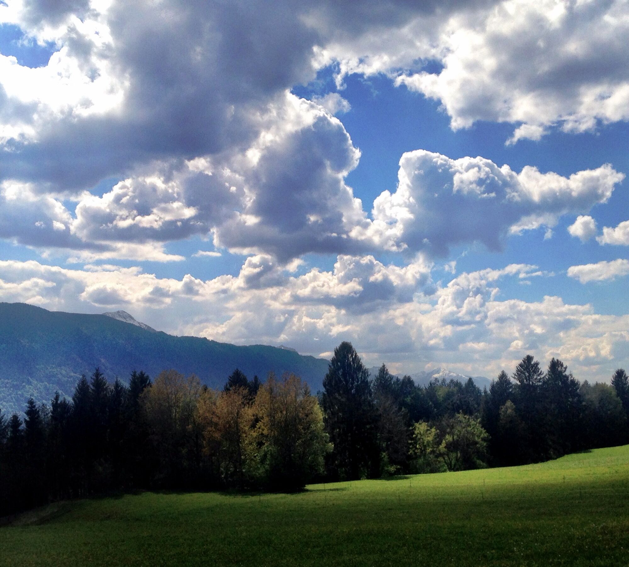
A varied mountain bike tour for everyone, which shows us much of the enchanting landscape of the region!
- Directions
-
On the southern motorway (A2) to the Arnoldstein exit, W-wards over the Gailtal Straße (B111) to Feistritz, turn off to Vorderberg to the natural swimming pool
- Parking
-
Public parking spaces are available directly at the starting point.


- Author
-
The tour ST1 - Matschiedl-Rauterbauer is used by outdooractive.com provided.