

- Brief description
-
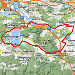
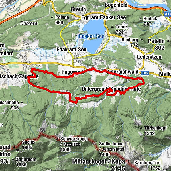
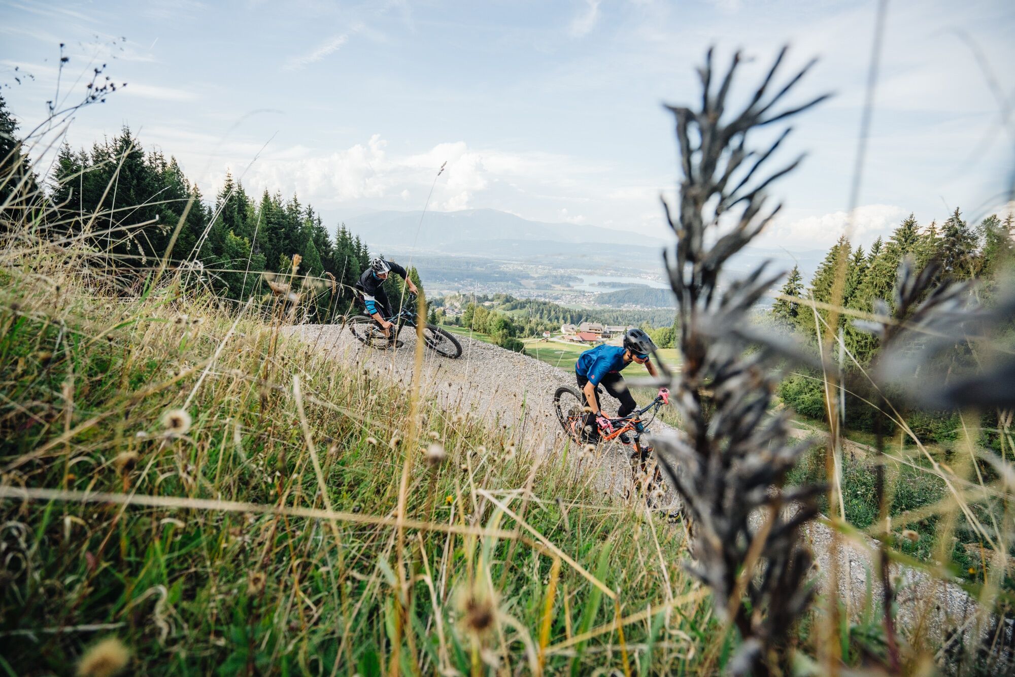
This easy-going mountainbike tour connects all the different mountainbike trails south of Lake Faak with each other.
- Difficulty
-
medium
- Rating
-
- Starting point
-
Parking area next to the cementary in Latschach
- Route
-
Latschach0.3 kmRatnitz1.2 kmPogöriach1.7 kmAltfinkenstein8.7 kmUntergreuth13.0 kmFilialkirche Heilige Drei Könige13.0 kmMartinihof13.5 kmBuschenschenke Ischnighof14.4 kmParadies16.4 kmUnteraichwald18.1 kmOberaichwald19.2 km
- Best season
-
JanFebMarAprMayJunJulAugSepOctNovDec
- Description
-
This mountainbike tour connects all the lake.bike tours and trails south of Lake Faak and leads over public sideroads and forrest paths through the beautful landscape at the foot of the Karawanken mountain chain.
- Directions
-
Starting from the parking are at the cementary in Latschach, you have to follow the 15 cm x 15 cm signs “Mountainbike Trail Connector - 22”. The tour can be cycled in either direction. However, we recommend starting in a westerly direction. First cycle through Latschach and before leaving the village turny to the left towards the small village called Ratnitz. From here continue to Pogöriach and its big horse stablewhere you turn left towards riding arena. Directly past the riding arena, follow the signs along the forest path through a stream bed to the Kanzianiberg car park. From here the way leads up along the normal road towards Baumgartnerhof. Shortly below the Baumgartnerhof, the tour branches off to the left. A little further down, you have to turn right after the Wutti farm towards Samonig. Through the courtyard on the hill and across the meadow you come to Greuth, where you turn right and follow the road to the Ischnig Farm. Directly at the Martinihof turn to the left, follow the signs up to approx. 300m and after the creek bed turn left. Go on until you come to an asphalt road again. Here turn to the left and after about 200m turn sharply left again. Caution! This junction is in front of the first houses and is difficult to see. So pay attention to the signs on the left side of the path. From here it goes along the pipeline and past the Aichwaldsee back to the starting point.
- Highest point
- 861 m
- Endpoint
-
Parking area next to the cementary in Latschach
- Height profile
-

- Equipment
-
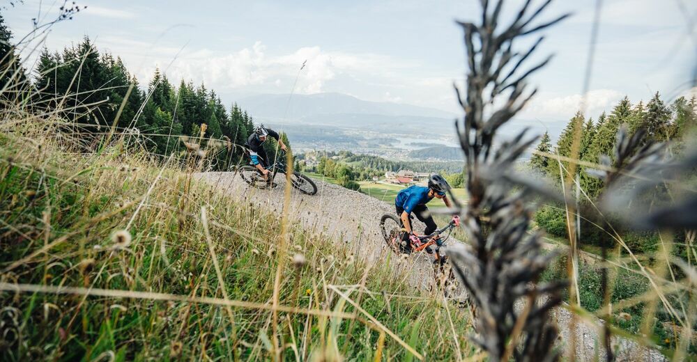
(e) MTB, helmet, protective gear, drinking water, smartphone, GoPro ;-)
- Safety instructions
-
Please use a suitable mountainbike and wear protective clothing and a helmet.
- Additional information
- Directions
-
Take the exit Villach - Faaker See (A10) oder Villach-Warmbad (A2) to get to Latschach.
- Public transportation
- Parking
-
Parking area of the cementary in Latschach
- Author
-
The tour Mountainbike Trail Connector Faaker See - Nr.22 is used by outdooractive.com provided.