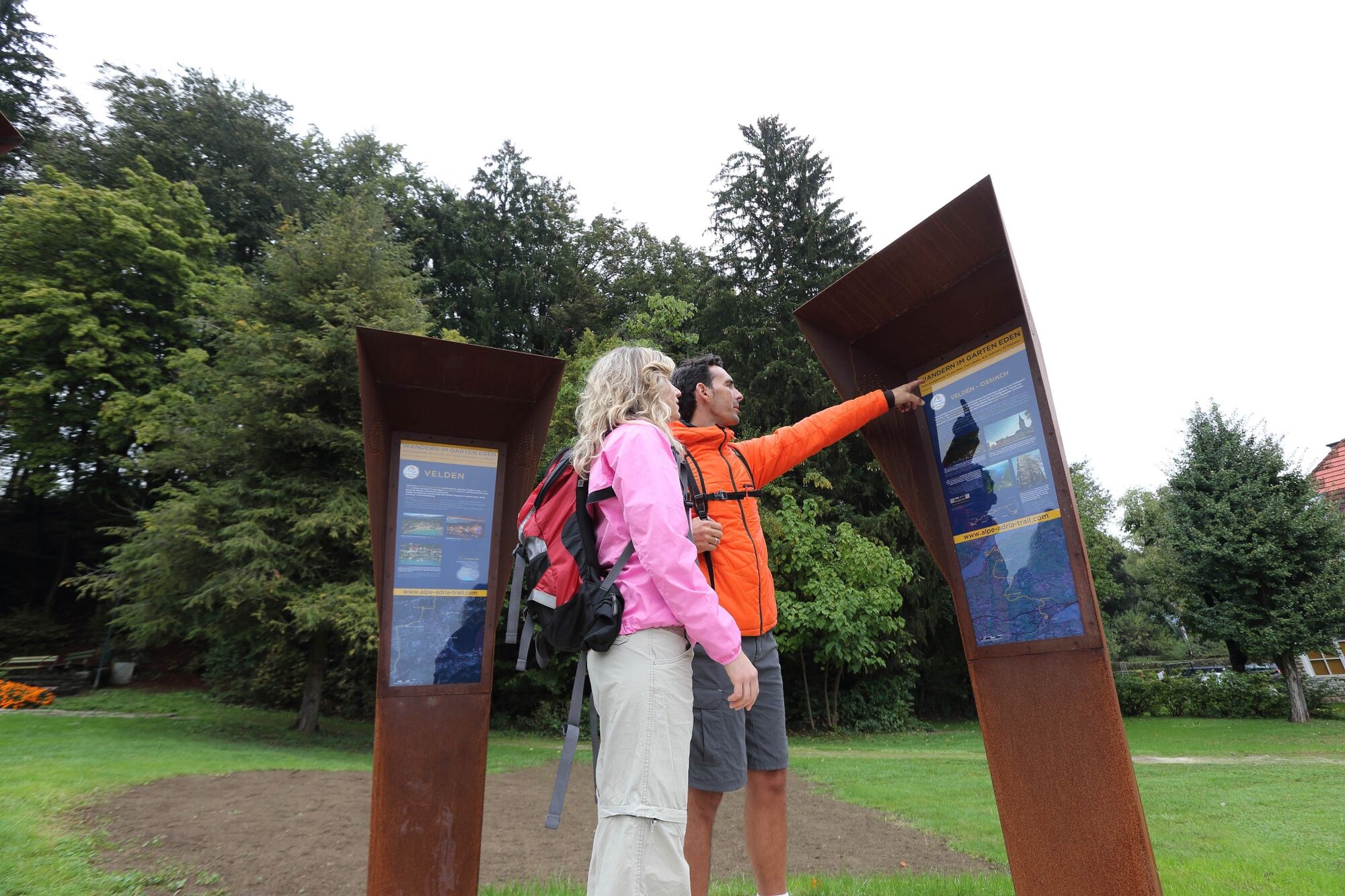
ST21 AAT: Velden - Faaker See / Baumgartnerhöhe

long-distance walking trail
© Alpe-Adria-Trail - Gert Perauer

© Alpe-Adria-Trail - Alexandra Rieger
© Alpe-Adria-Trail - Alexandra Rieger

© Region Villach - Faaker See - Ossiacher See - Region Villach

© Region Villach - Faaker See - Ossiacher See - Region Villach
© Alpe-Adria-Trail - Stefan Leitner

© Alpe-Adria-Trail - Gert Perauer

© Alpe-Adria-Trail - Pentaphoto

© Alpe-Adria-Trail - Roland Oberdorfer

© Region Villach - Faaker See - Ossiacher See - Adrian Hipp

- Brief description
-
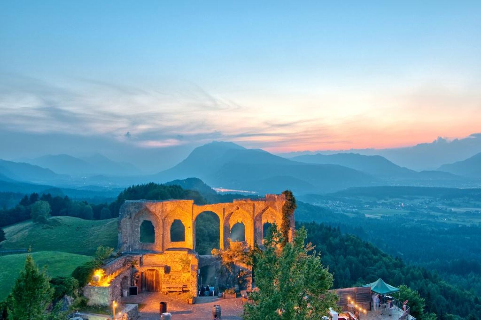
It might surprise many hikers that part of the Alpe Adria Trail leads through a valley known as the “Turkish Valley”. This stage takes you from Velden Castle along the River Drau, past a former army camp, the Carinthian Turkish Valley and Lake Faaker See, and then up to the Finkenstein castle arena.
- Difficulty
-
medium
- Rating
-
- Route
-
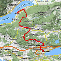
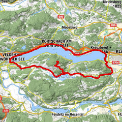
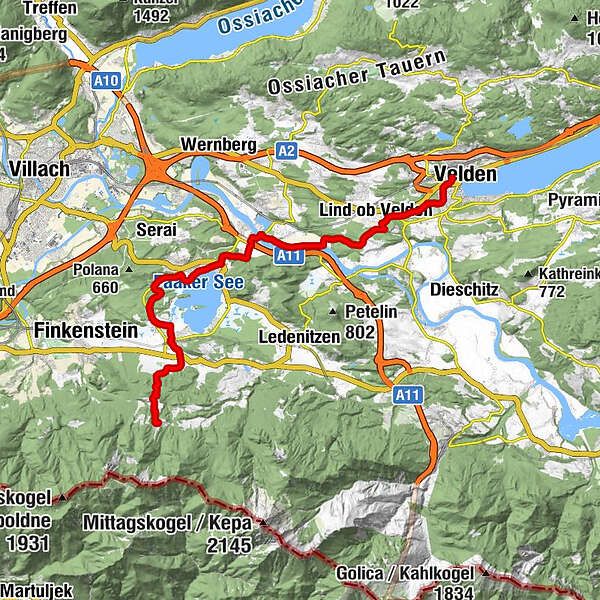
VeldenPfarre Velden am Wörthersee0.0 kmChristuskirche0.7 kmSelpritsch2.2 kmLind ob Velden3.6 kmWudmath6.4 kmFöderlach8.0 kmGraschitz9.4 kmSankt Niklas9.4 kmBogenfeld10.6 kmEgg am Faaker See11.6 kmKarawanken Lodge15.7 kmFilialkirche Heiliger Georg16.3 kmFaak am See16.4 kmRatnitz18.5 kmFilialkirche Heilige Dreifaltigkeit18.9 kmPogöriach19.0 kmAltfinkenstein20.7 kmRuinenstüberl20.8 kmHotel Restaurant Baumgartnerhof21.8 km
- Best season
-
JanFebMarAprMayJunJulAugSepOctNovDec
- Description
-
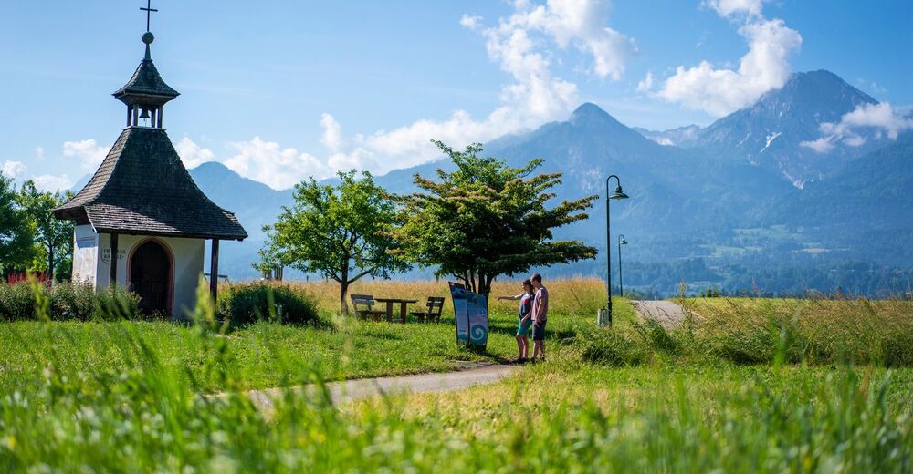
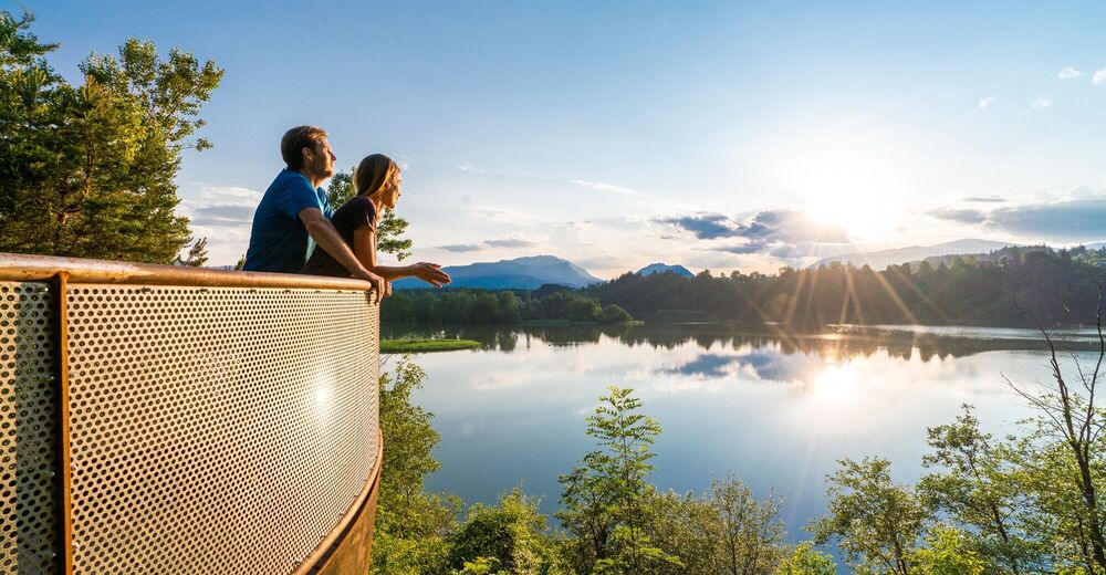
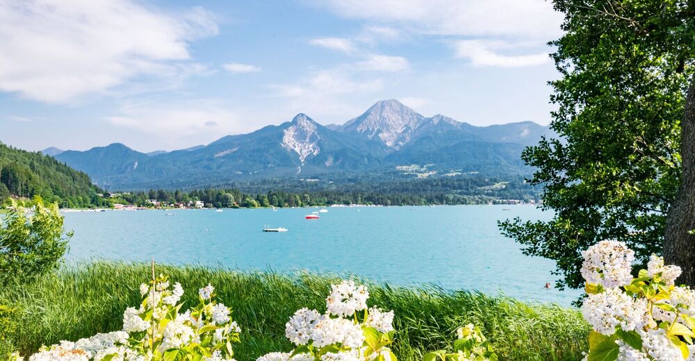
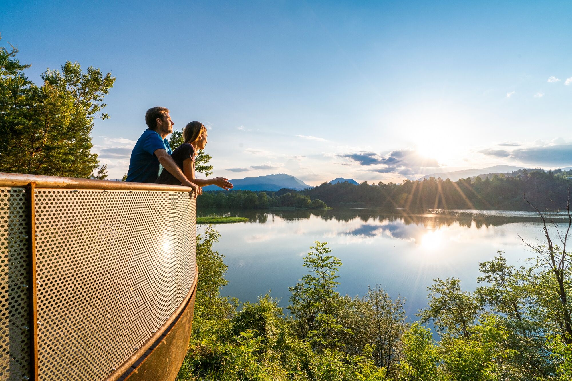
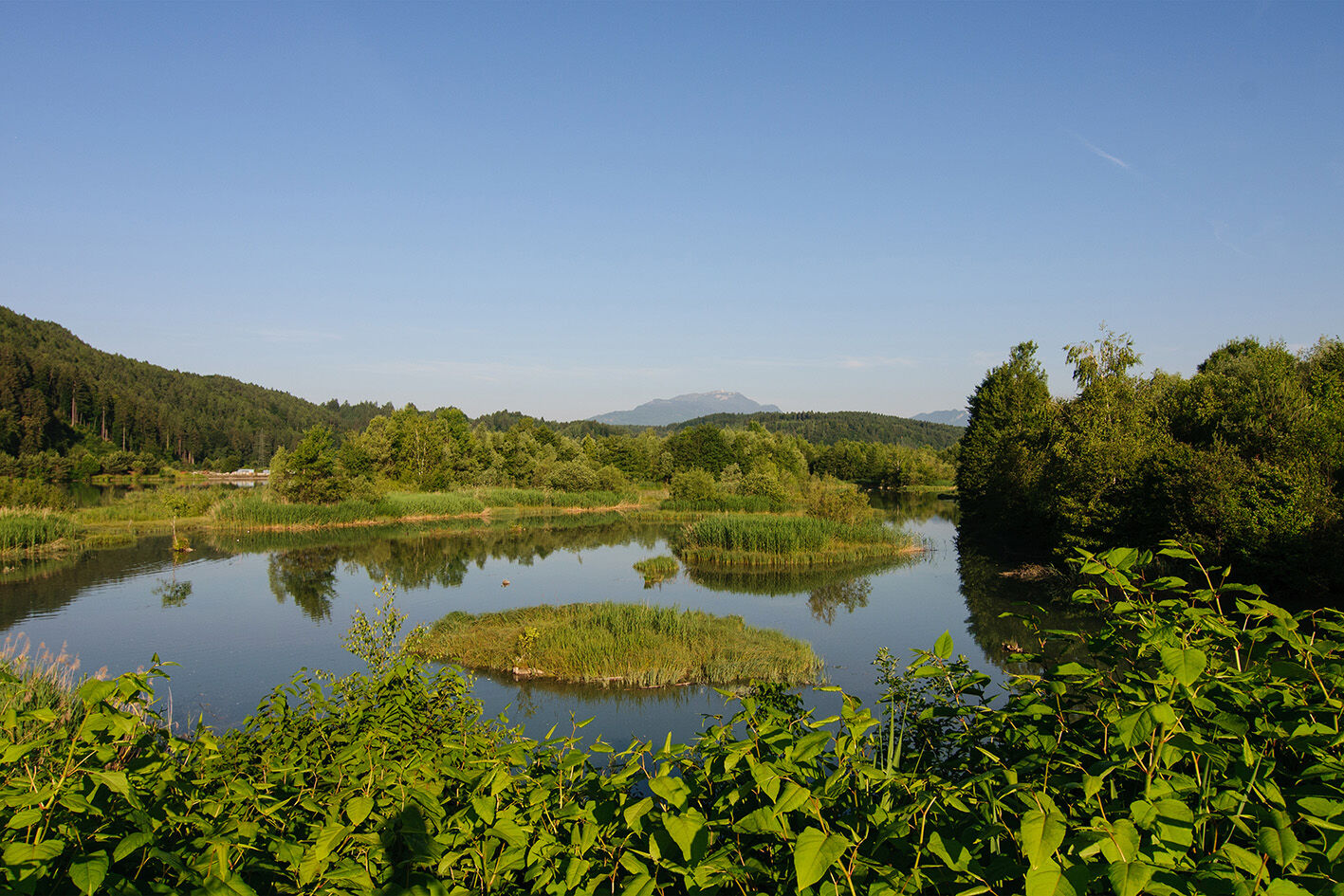
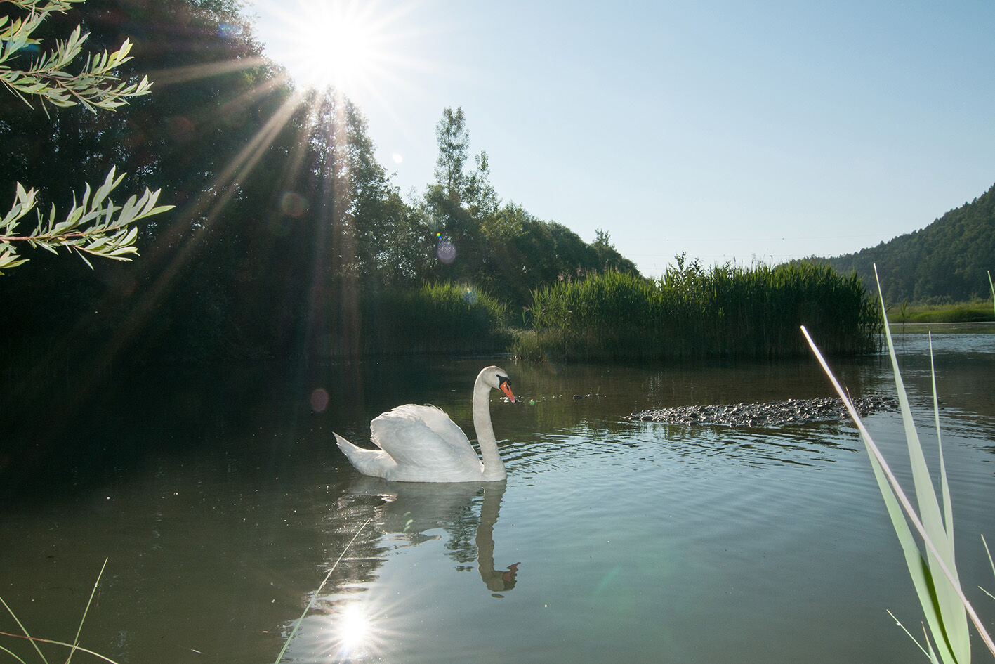
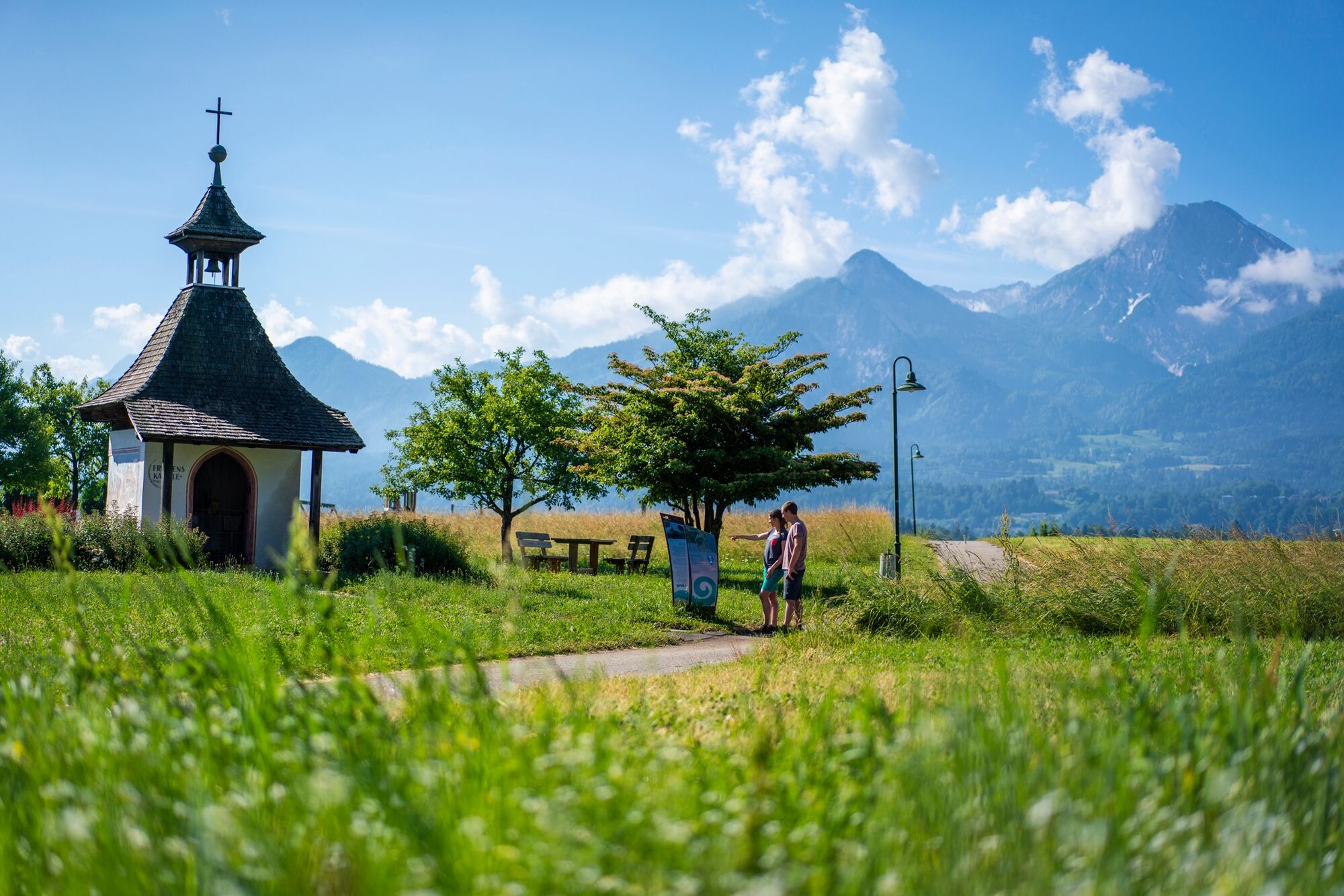
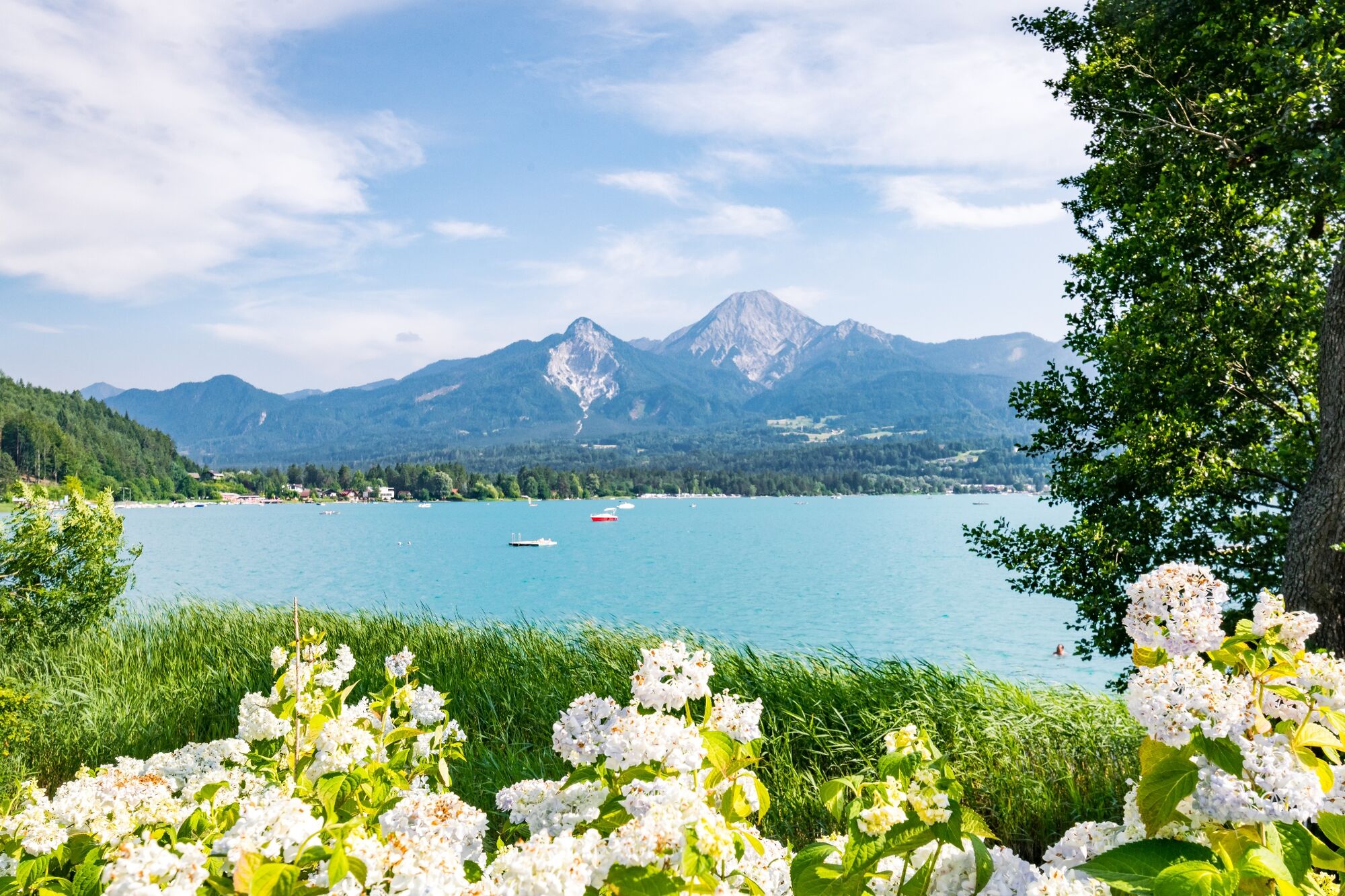
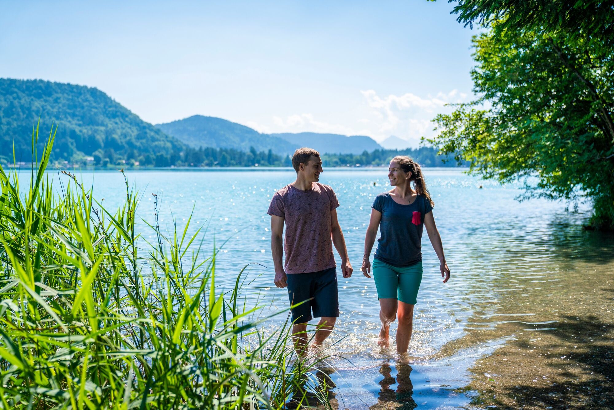
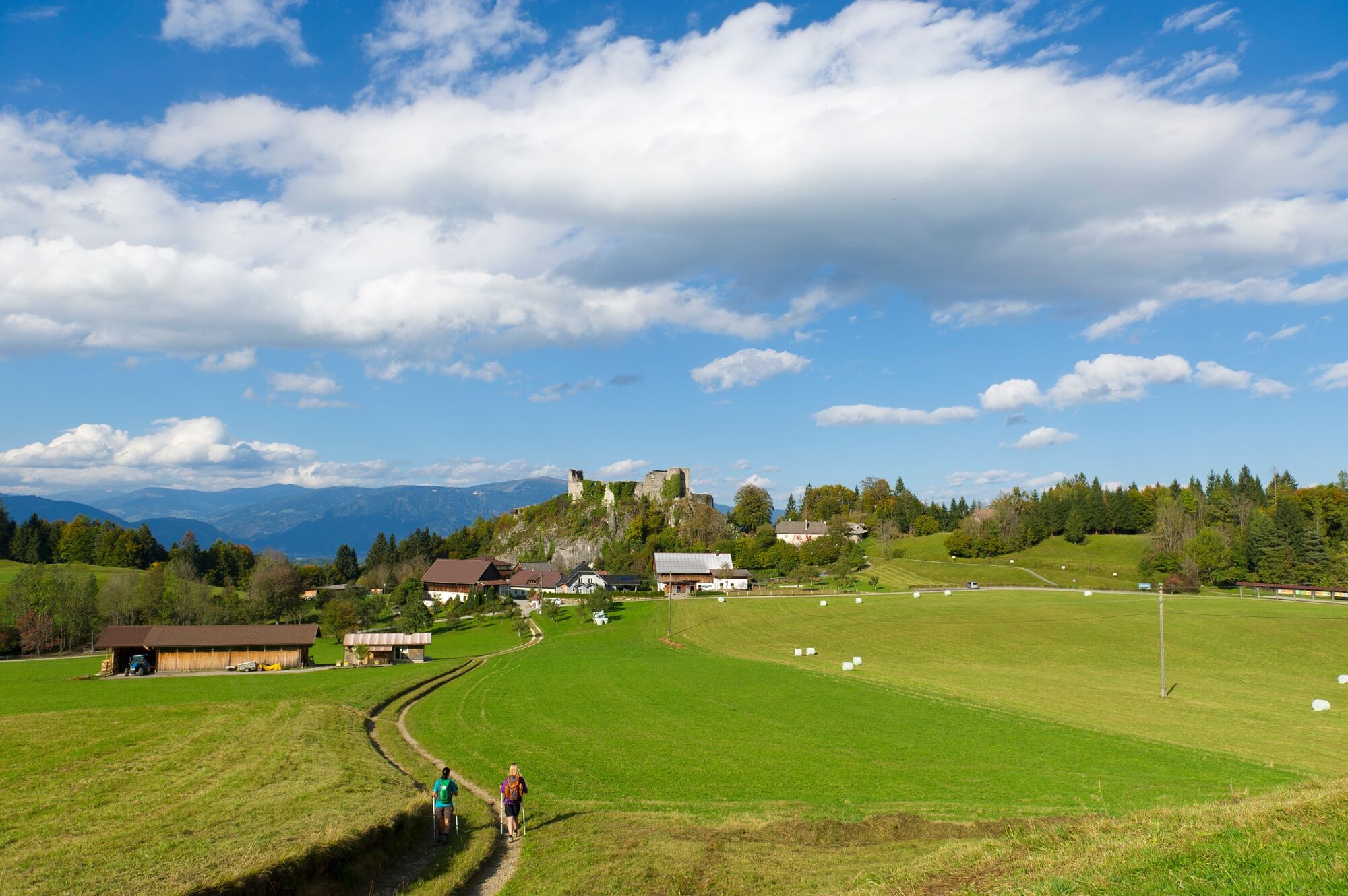
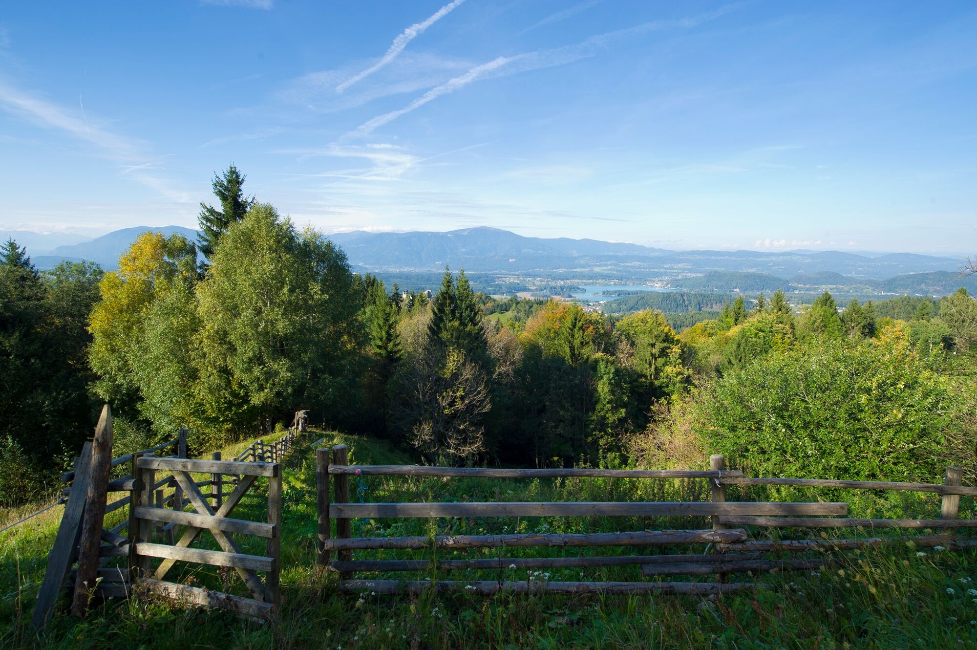
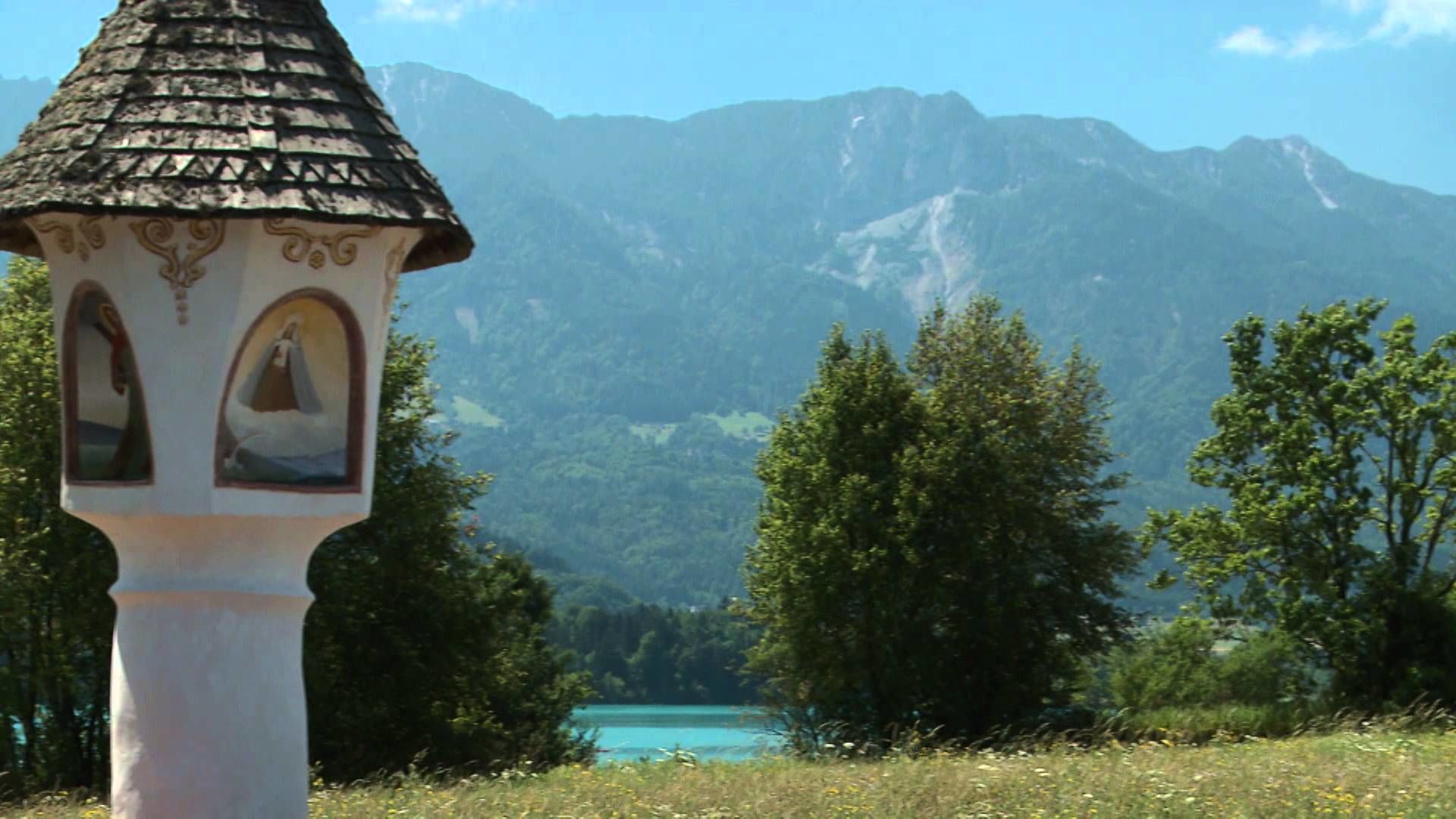
From the Kurpark in Velden the route goes along the cycle trail to the River Drau. The Drau Cycle Trail leads through the whole of Carinthia amidst wonderful scenery. Along the way is the Föderlach nature conservation area, which is a popular nesting place for a variety of birds. The route continues past Lake Faaker See and the famous Egger Marterl wayside cross to the Drobollacher Moor, which is also a nature conservation area. The highlight of this stage is the romantically located Finkenstein castle arena and the Baumgartnerhöhe, where you are rewarded with a wonderful view of the surrounding mountain world and the radiant turquoise Lake Faaker See.
- Directions
-
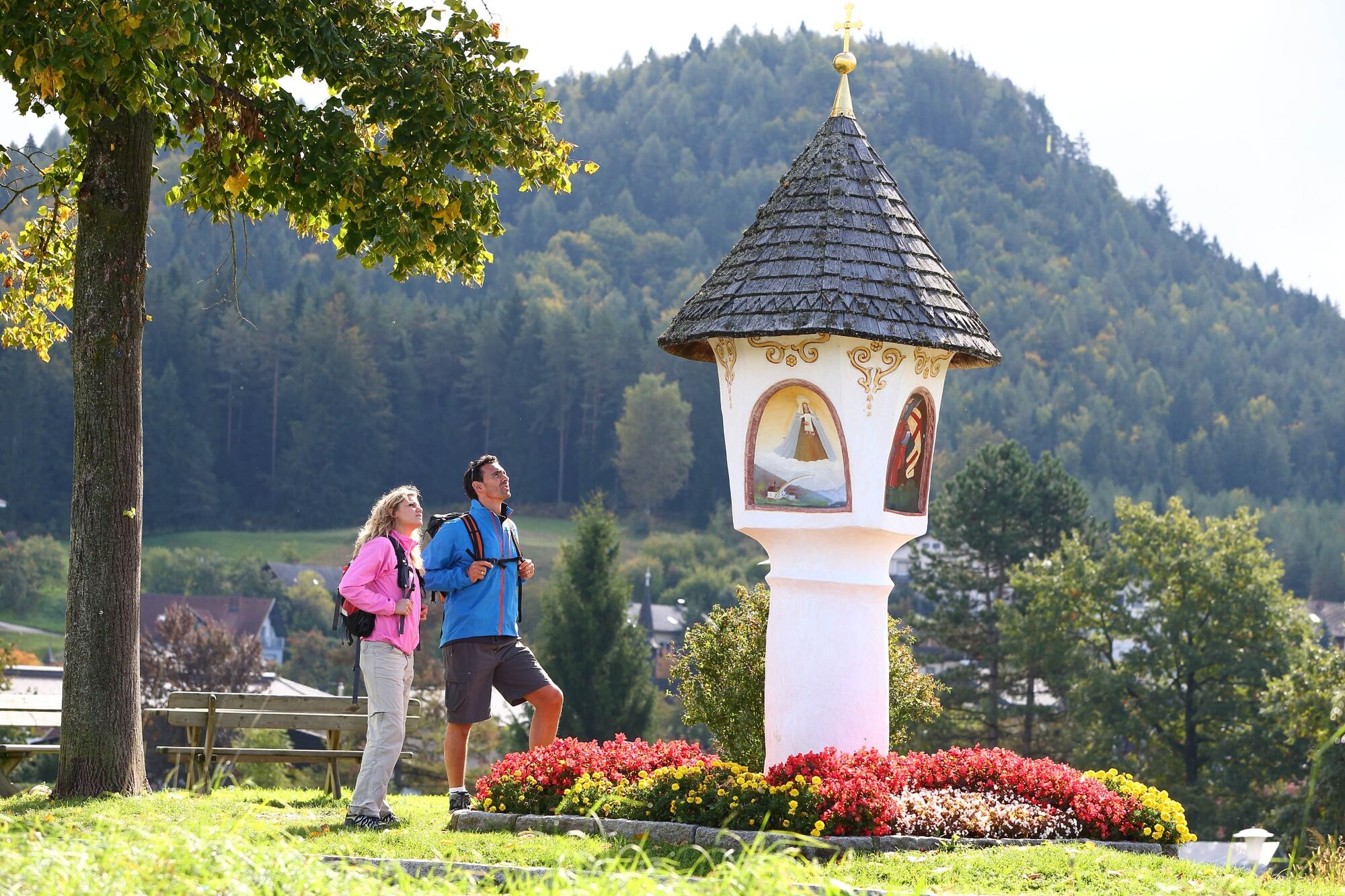
From Velden we walk along the R4a cycle trail towards the Bäckerteich pond and the football stadium, then we follow hiking trail no. 4 to the Drau, Carinthia’s largest river. We then follow the Drau Cycle Trail alongside the river towards Villach. A special highlight is the Föderlach nature conservation area, a flat-water biotope which serves as an important resting place for numerous birds on their migration through Carinthia. We make a short stop at the viewing and bird-watching point in Föderlach, where we have an opportunity of watching various birds. At Graschitz we cross the Drau and hike across the Bogenfeld, past several of the wayside crosses which are so typical of this region. Then the route loops back slightly to the main road, where we come across the small “Turkey” valley, whose name derives from the fact that there was once a Turkish army camp there. Then we go up a quite steep hill towards Egg, past the famous Egger Marterl wayside cross and from there we continue to Drobollach. We hike through the village following the shore of Lake Faaker See, then alongside the Drobollacher Moor nature conservation area as far as Faak am See. Here we walk past the Faak tourist information office and then through an underpass to the next roundabout. Here we go straight on to Pogöriach, from where we start our ascent to the ruined Finkenstein Castle. After a relatively straight forest trail up the mountain we reach the ruined castle. Here we are rewarded with a wonderful view of the surrounding mountain world and the radiant turquoise Lake Faaker See. Via a steep track past the village chapel we reach the Baumgartnerhöhe – the destination of today’s stage.
- Highest point
- 914 m
- Endpoint
-
Baumgartnerhöhe
- Height profile
-

- Author
-
The tour ST21 AAT: Velden - Faaker See / Baumgartnerhöhe is used by outdooractive.com provided.
GPS Downloads


General info
Refreshment stop
A lot of view
Other tours in the regions