- Brief description
-
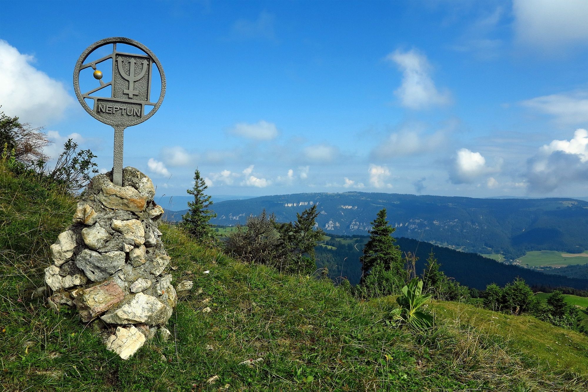
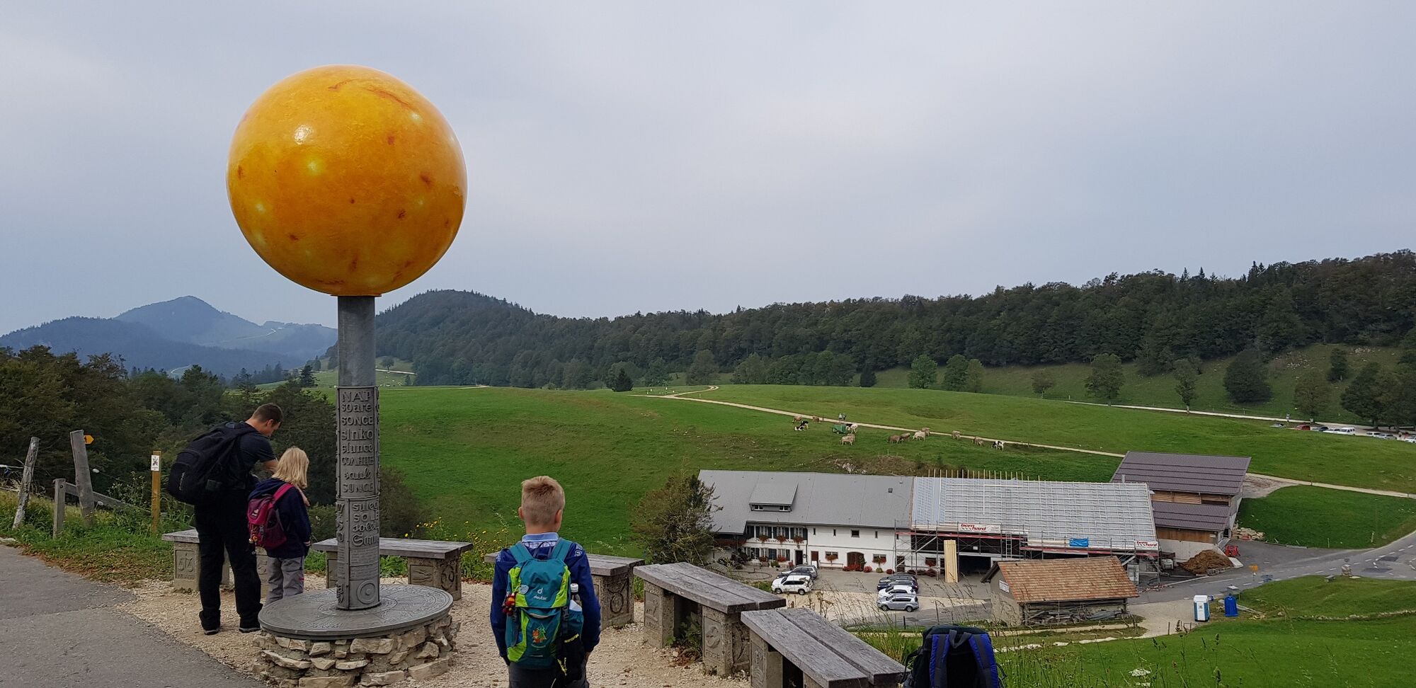
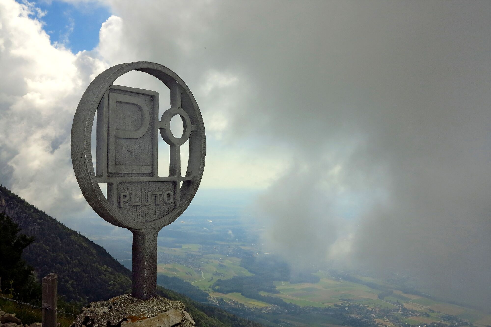
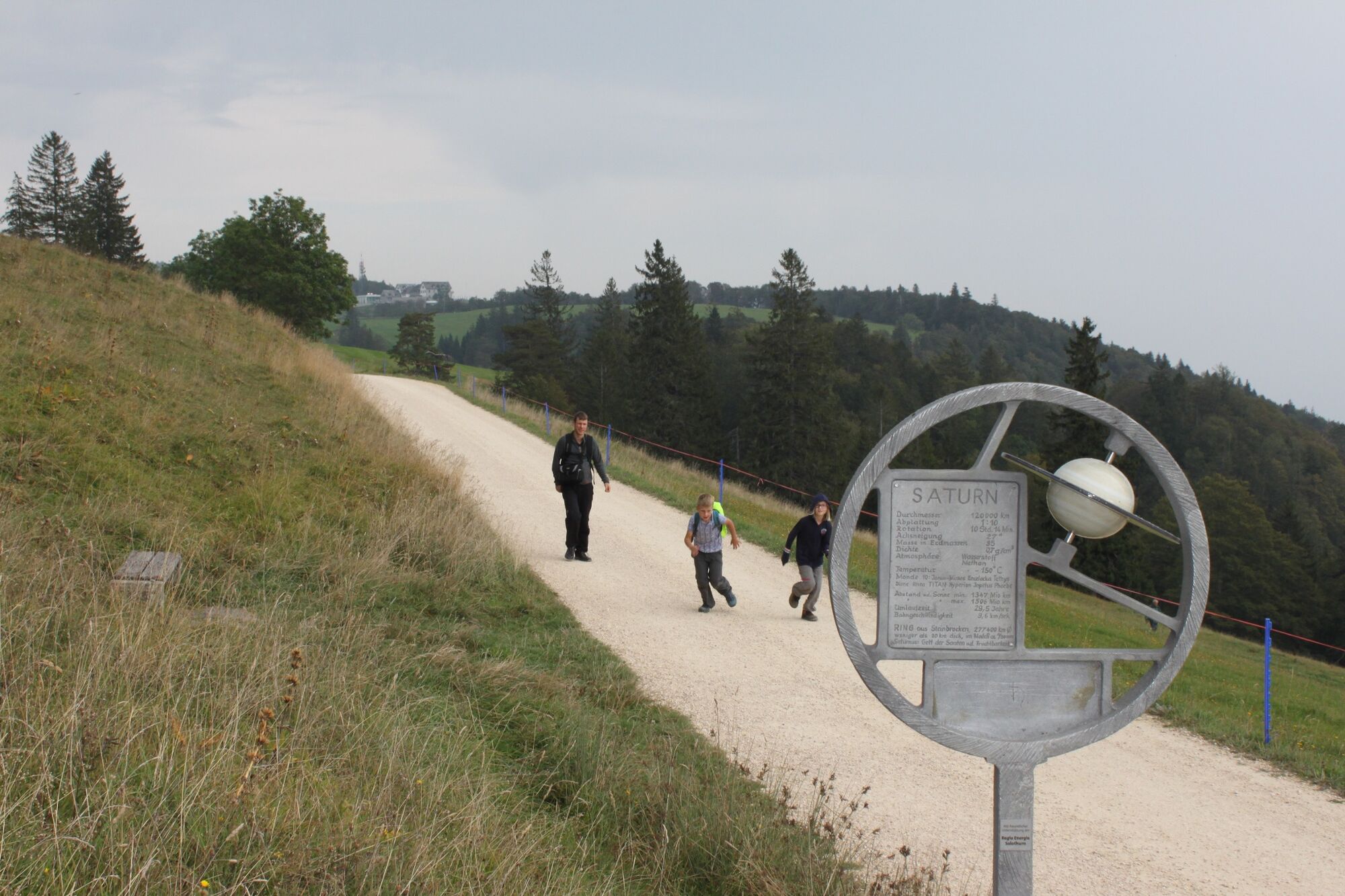
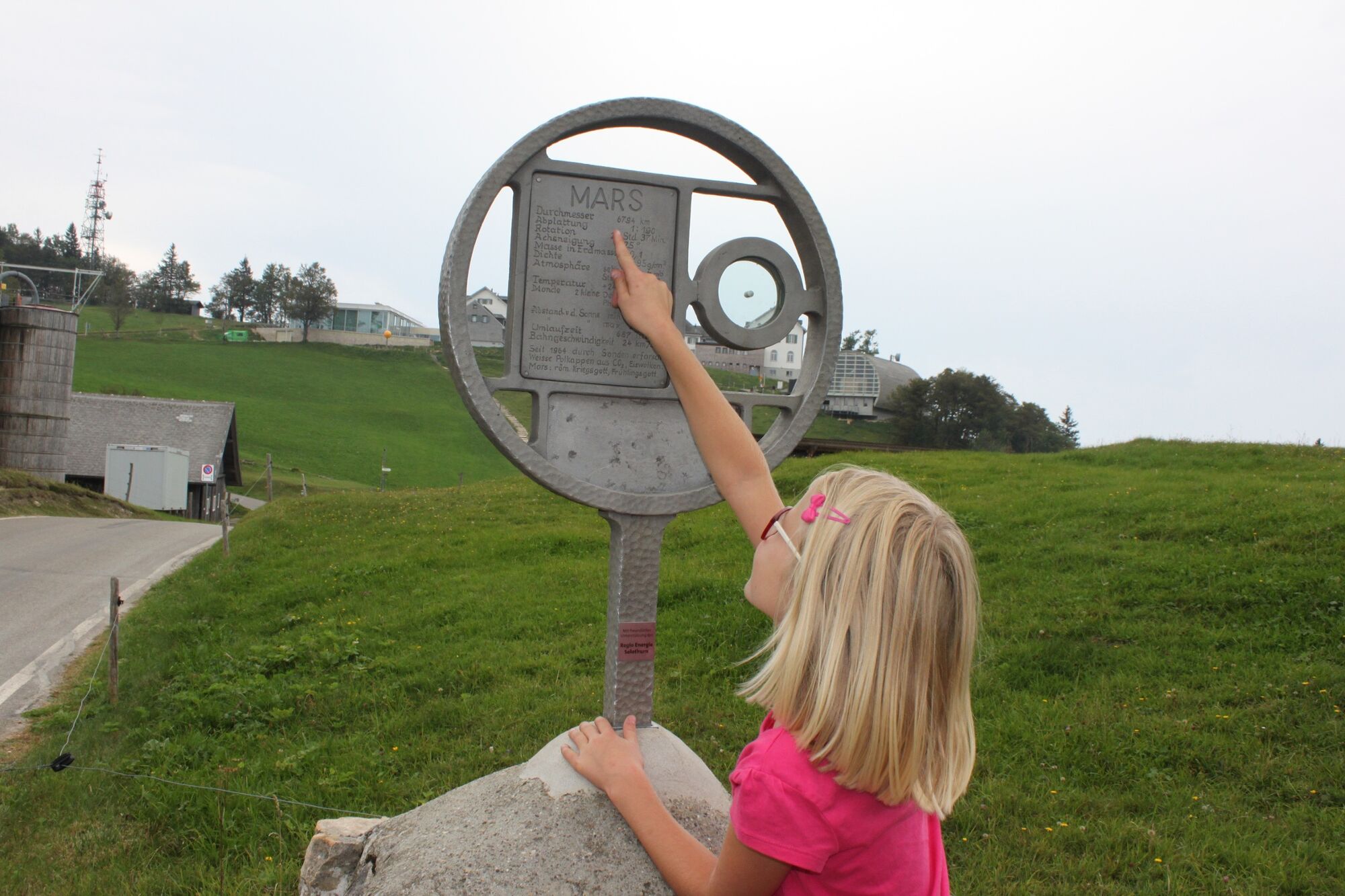
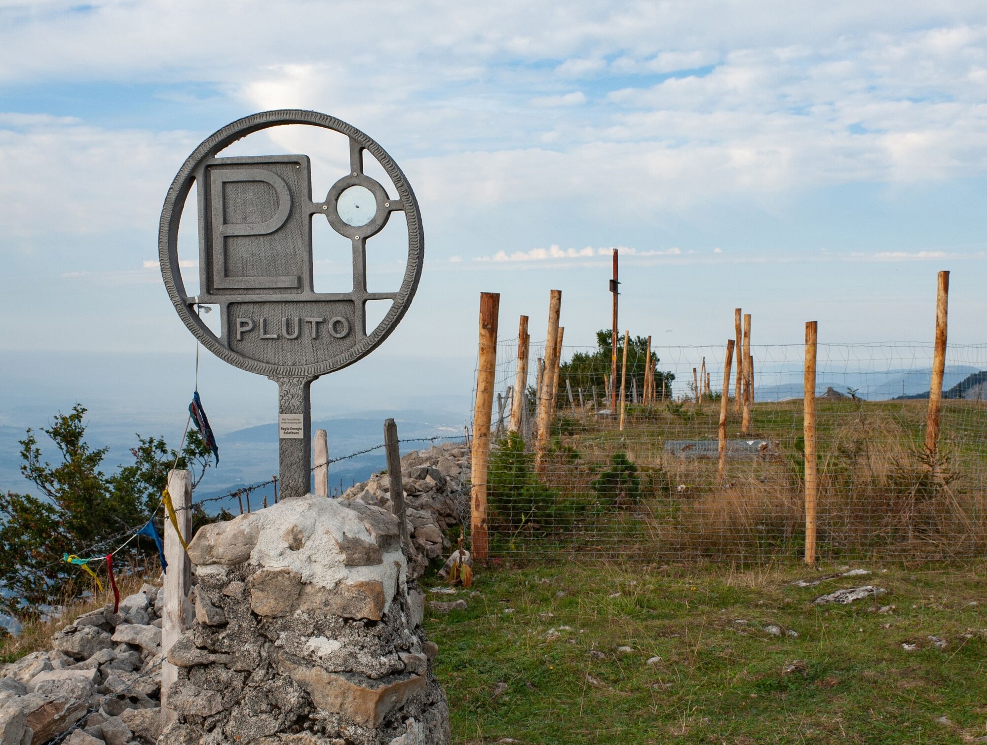
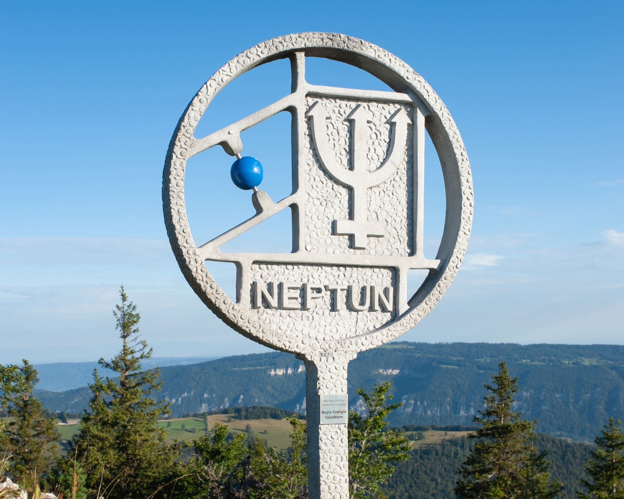
Reach for the stars on the Weissenstein Planet Trail – the perfect trail for families to get closer to our solar system. Every kilometre hiked is equal to a billion kilometres.
- Difficulty
-
medium
- Rating
-
- Starting point
-
Weissenstein, Kurhaus
- Route
-
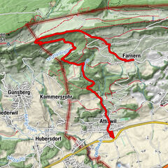
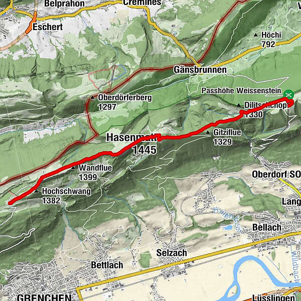
Kurhaus Weissenstein0.0 kmVorderweissenstein0.1 kmWeissenstein (1,284 m)0.4 kmHasenmatt (1,445 m)5.2 kmMüren5.7 kmStallflue (1,409 m)6.9 kmKüferegg (1,309 m)7.9 kmWandflue (1,399 m)8.8 kmObergrenchenberg9.8 kmHochschwang (1,382 m)10.5 kmUntergrenchenberg11.6 km
- Best season
-
JanFebMarAprMayJunJulAugSepOctNovDec
- Description
-
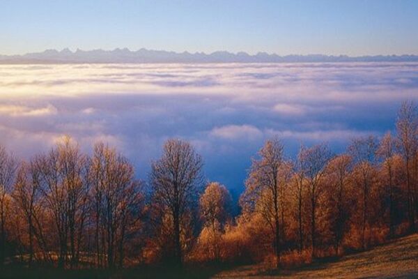
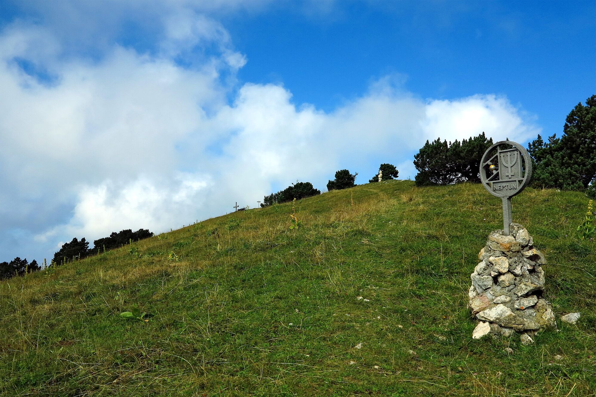
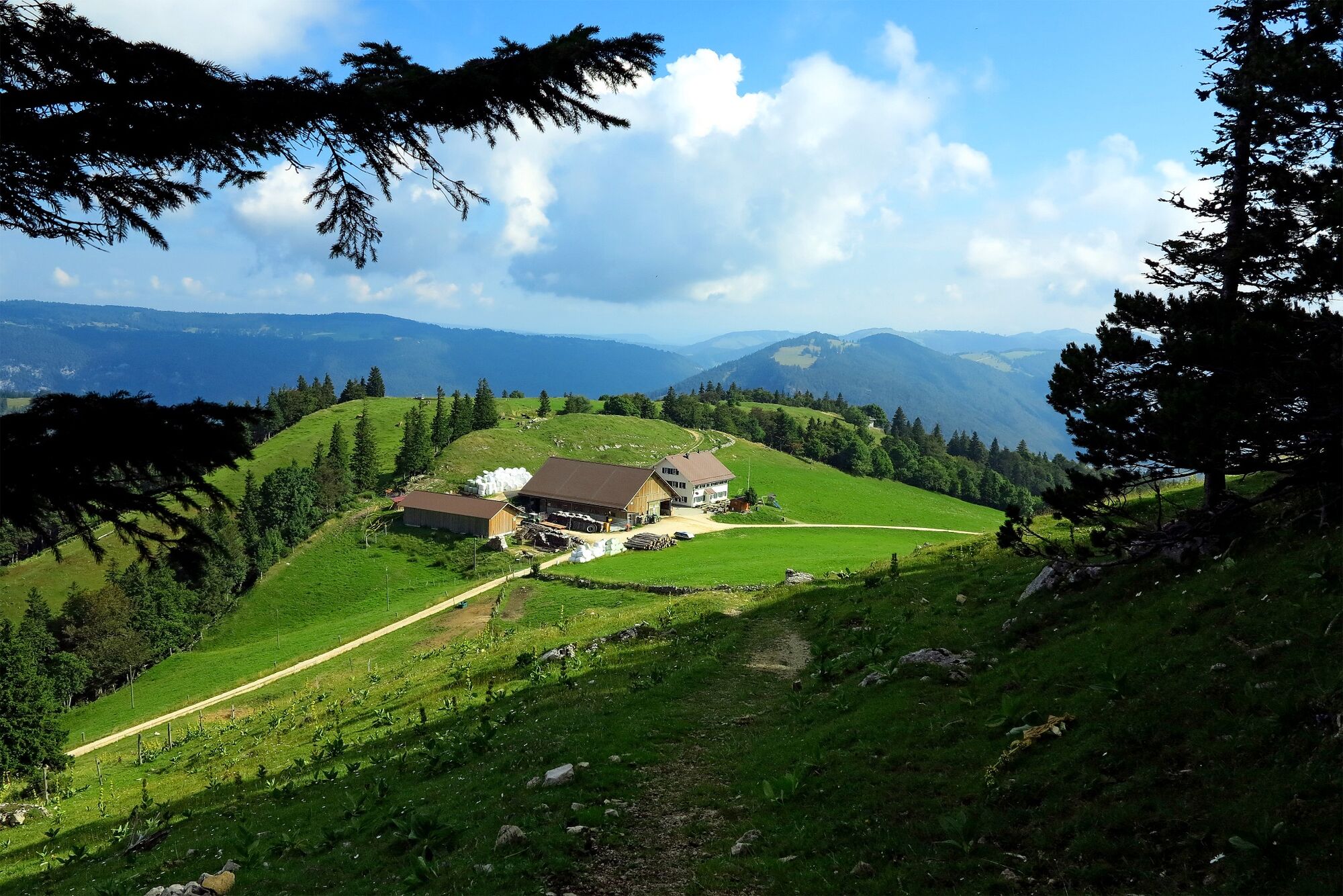
The Planet Trail from Weissenstein to Untergrenchenberg is an experience for the whole family. Every kilometre hiked corresponds to a billion kilometres in the solar system, which gives you an idea of the dimensions in space. Adults can check out the information boards to pick up the most important features. Numerous fire pits along the way ensure that the children do not miss out. During the hike, the view of the Aare river and the Alps can be enjoyed by everyone; the view from Säntis to Mont Blanc is almost legendary. With the Hasenmatt and the Stallfluh, there are also two promising summits right on your route. And as a treat, several mountain inns tempt you to stop off with their hearty fare.
- Directions
-
Weissenstein Kurhaus - Hinter Weissenstein - Hasenmatt - Stallfluh - Obergrenchenberg - Untergrenchenberg
- Highest point
- 1,434 m
- Endpoint
-
Untergrenchenberg
- Height profile
-
 © outdooractive.com
 - Tips
-
From Untergrenchenberg, there is a bus connection to Grenchen. If you’d prefer something a bit faster, you can also take the Monstertrotti scooter to the wooden hut (BGU bus stop).

-

-
AuthorThe tour Weissenstein Planet Trail is used by outdooractive.com provided.


General info
-
Solothurn und Region
1453
-
Bucheggberg
525
-
Lommiswil
189