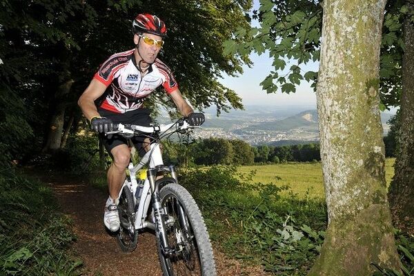
© allmountain.ch - Marc Schürmann
© allmountain.ch - Marc Schürmann


- Difficulty
-
medium
- Rating
-
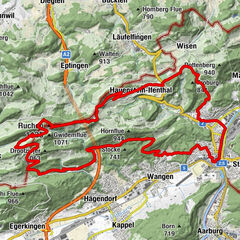
- Route
-
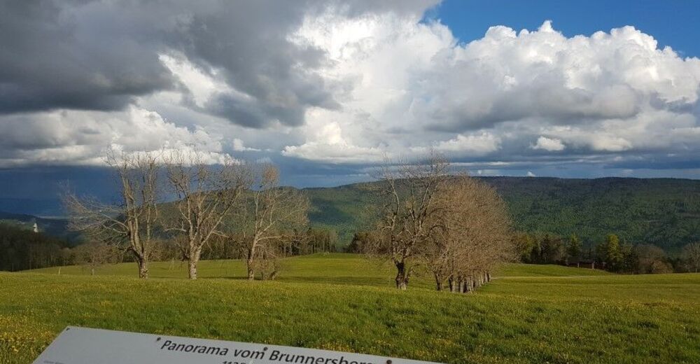
Balsthal (489 m)0.3 kmBalsthaler Wasserfall1.1 kmHöngen3.3 kmAlpenblick8.1 kmWinterhus8.2 kmBrunnersberg (1,118 m)9.2 kmKarlisberg (1,171 m)10.6 kmBergwirtschaft Güggel12.1 kmGüggel12.1 kmZentner12.5 kmSchwang (1,220 m)13.5 kmObere Tannmatt14.9 kmVorder Hammer21.2 kmKellenrain21.9 kmHerbetswil (524 m)22.4 kmRestaurant Reh22.4 kmAedermannsdorf (531 m)24.9 kmMatzendorf (510 m)25.8 kmLoch Ness28.9 kmLaupersdorf (493 m)29.0 kmBalsthal (489 m)32.3 kmBalsthaler Wasserfall33.1 km
- Best season
-
JanFebMarAprMayJunJulAugSepOctNovDec
- Highest point
- 1,201 m
- Height profile
-
 © outdooractive.com

-

-
AuthorThe tour Balsthal – Brandberg – Balsthal is used by outdooractive.com provided.
GPS Downloads


Other tours in the regions
-
Solothurn und Region
96
-
Naturpark Thal
64
-
Matzendorf
14