


- Difficulty
-
medium
- Rating
-
- Route
-
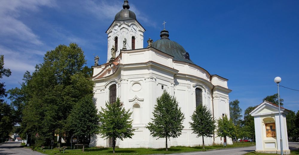
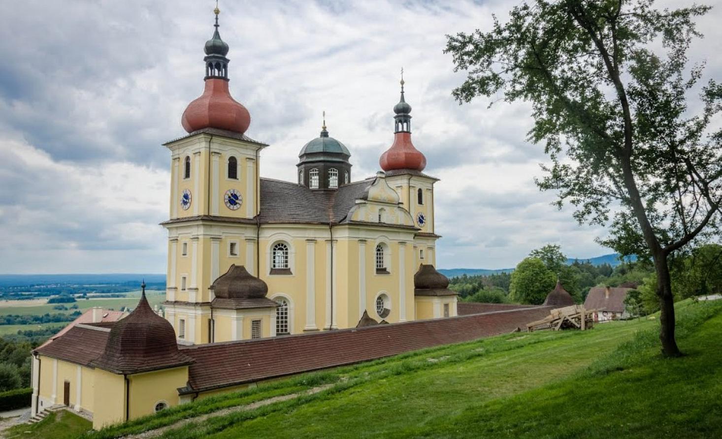
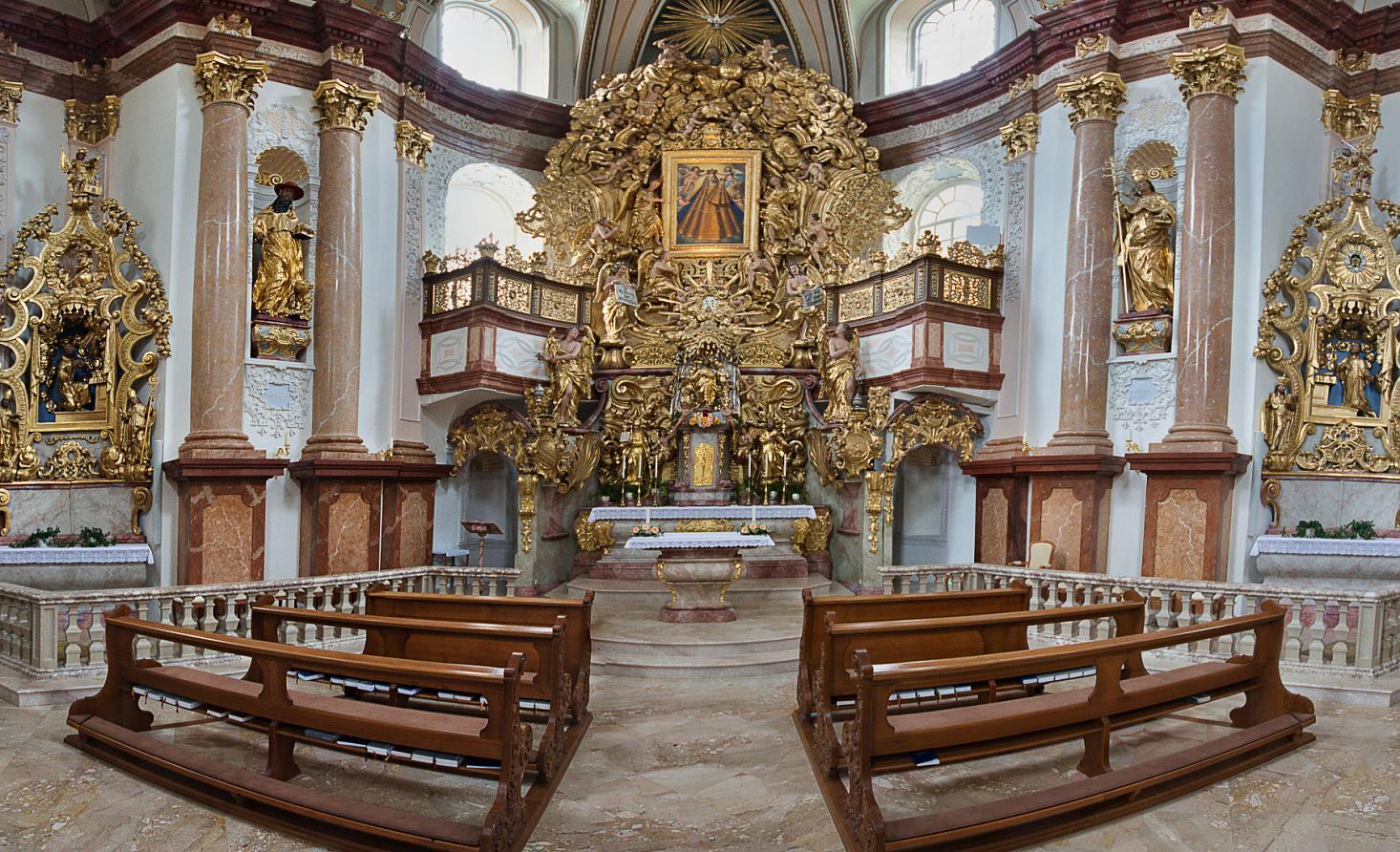
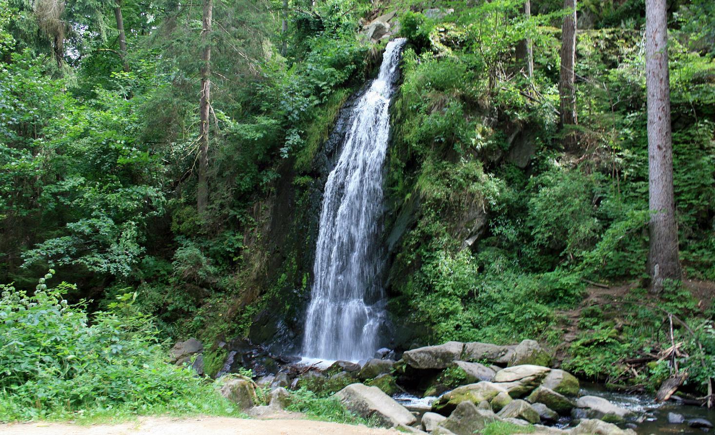
Obětování Panny Marie0.3 kmČeské Budějovice (381 m)0.5 kmBudweis 10.7 kmBudweis 61.3 kmDürrnfellern3.3 kmBudweis 53.7 kmGutwasser4.9 kmNa Samotách7.1 kmMalé Dubičné8.2 kmTřebotovice9.9 kmKaliště11.2 kmZaliny13.4 kmLedenice17.4 kmRosenstein19.9 kmForbes22.3 kmAlf22.5 kmKaple 188926.5 kmOstrolovský Újezd26.5 kmRankov28.6 kmPadělky30.8 kmOtěvěk31.3 kmSchweinitz in Böhmen33.6 kmNejsvětější Trojice35.6 kmBoršíkov36.4 kmSitzkreis37.9 kmGlasern40.6 kmSonnberg42.2 kmPenzion Marie42.3 kmStětí sv. Jana Křtitele42.3 kmBožejov43.8 kmTritschmersch45.5 kmAve Maria 185745.5 kmZweiendorf46.9 kmStrobnitz49.5 kmkostel sv. Mikuláše49.7 kmGschwendt51.5 kmVodopád53.1 kmPenzion Lázničky53.6 kmPenzion pod Hradem55.1 kmGratzen55.7 kmKaple Sv. Jana Nepomuckého56.0 kmPiberschlag59.1 kmU Černého kříže61.9 kmNovobarokní kaple66.2 kmScheiben66.4 kmBrünnl70.4 kmHeilbrunn71.5 kmHotel Hojná Voda71.5 km
- Best season
-
JanFebMarAprMayJunJulAugSepOctNovDec
- Directions
-
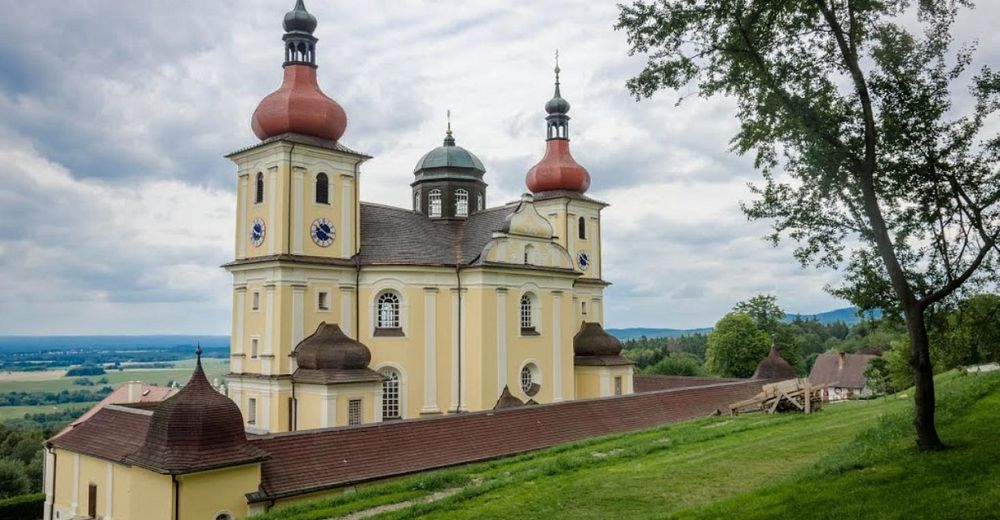
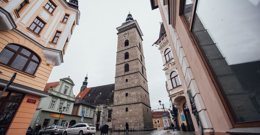
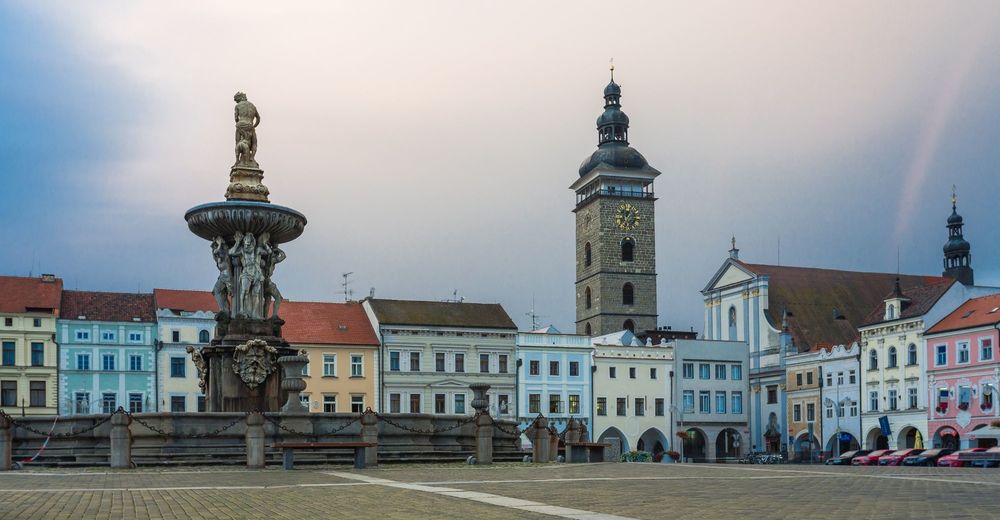
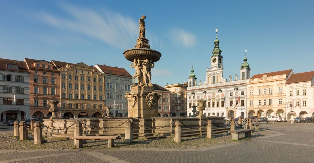
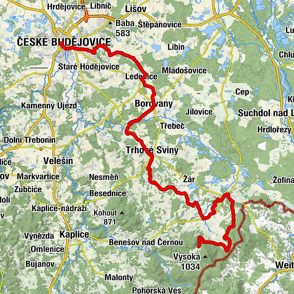
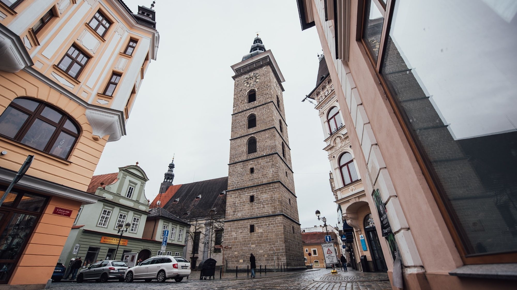
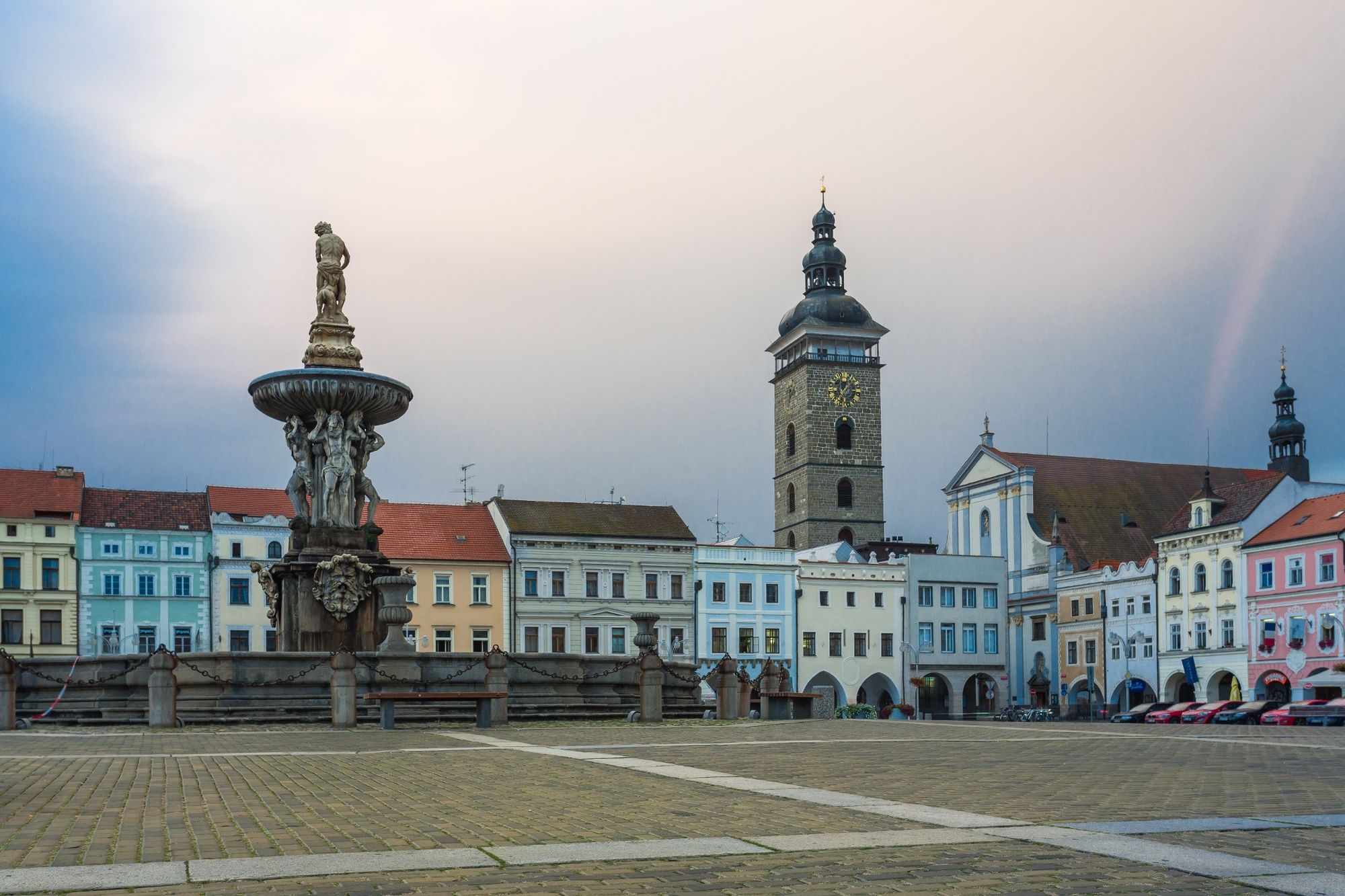
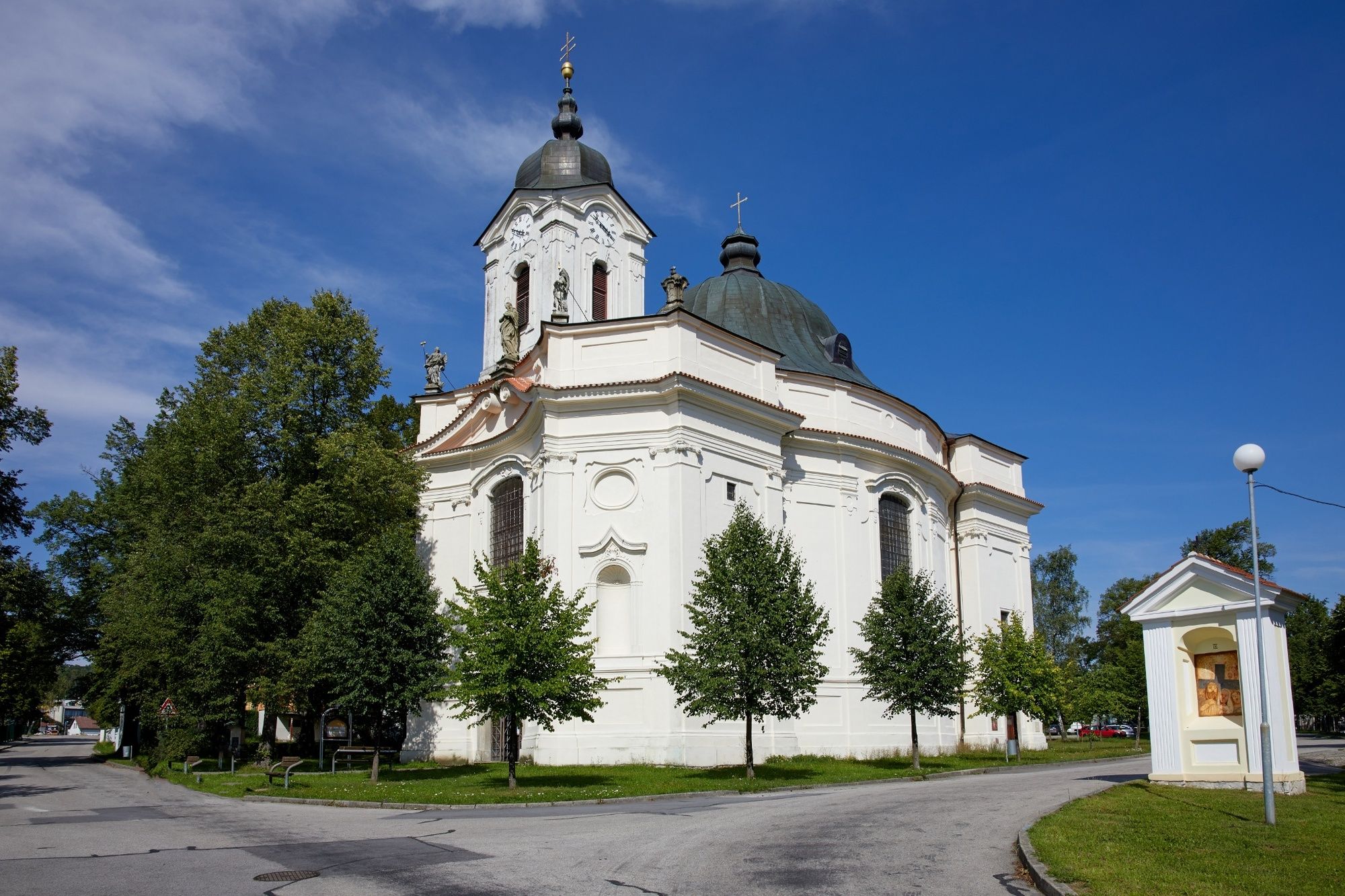
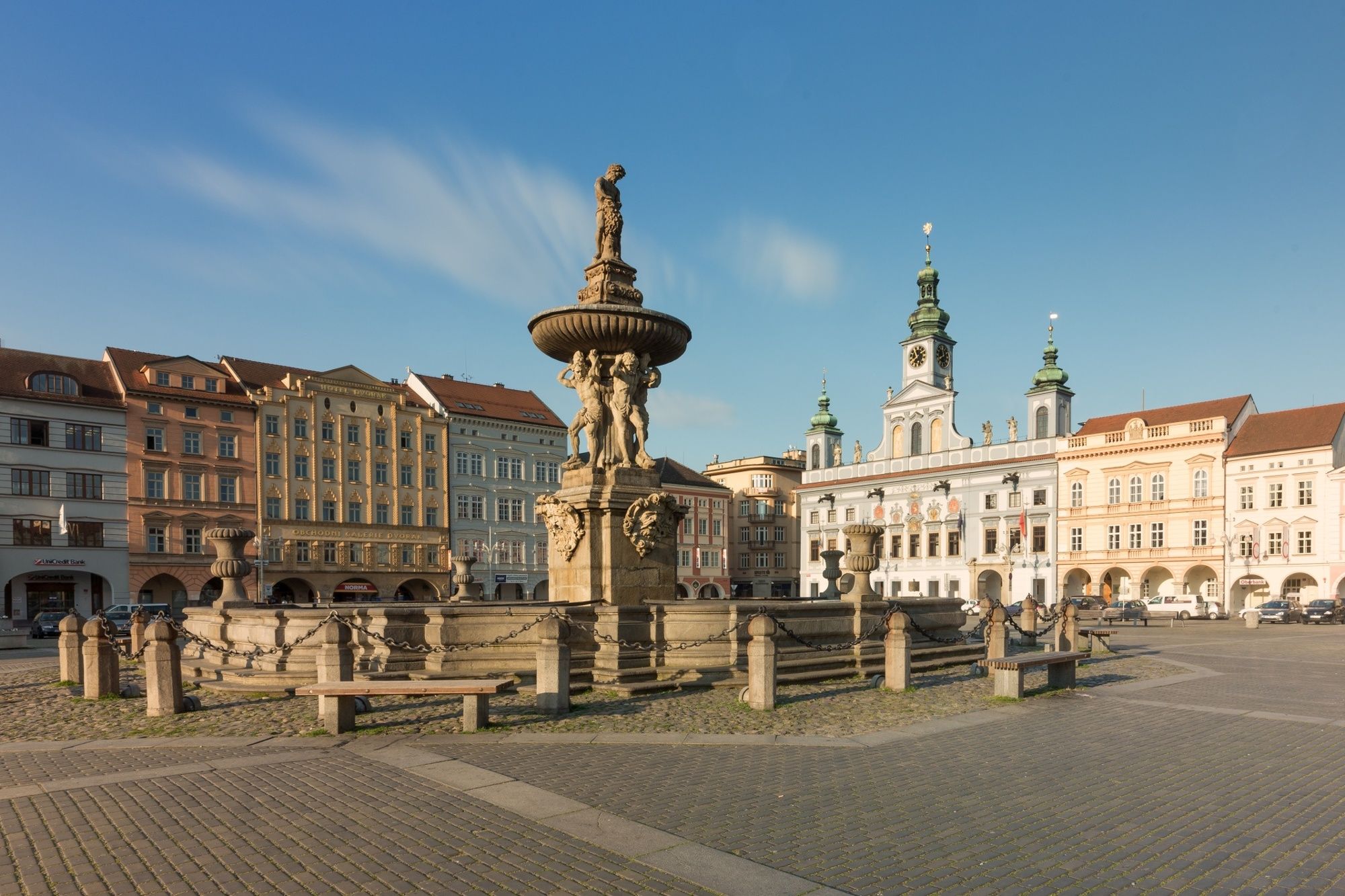
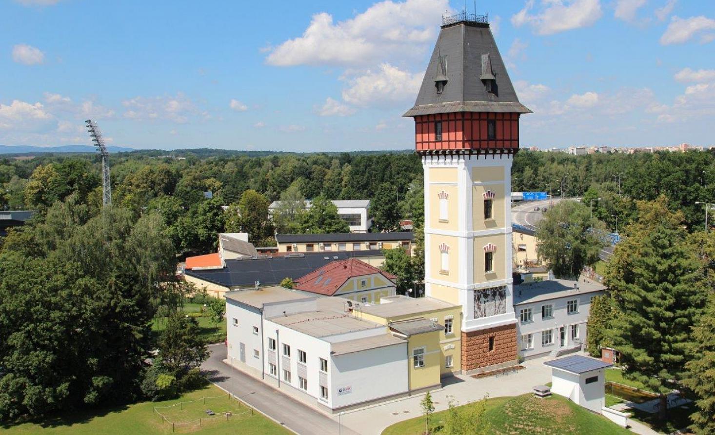
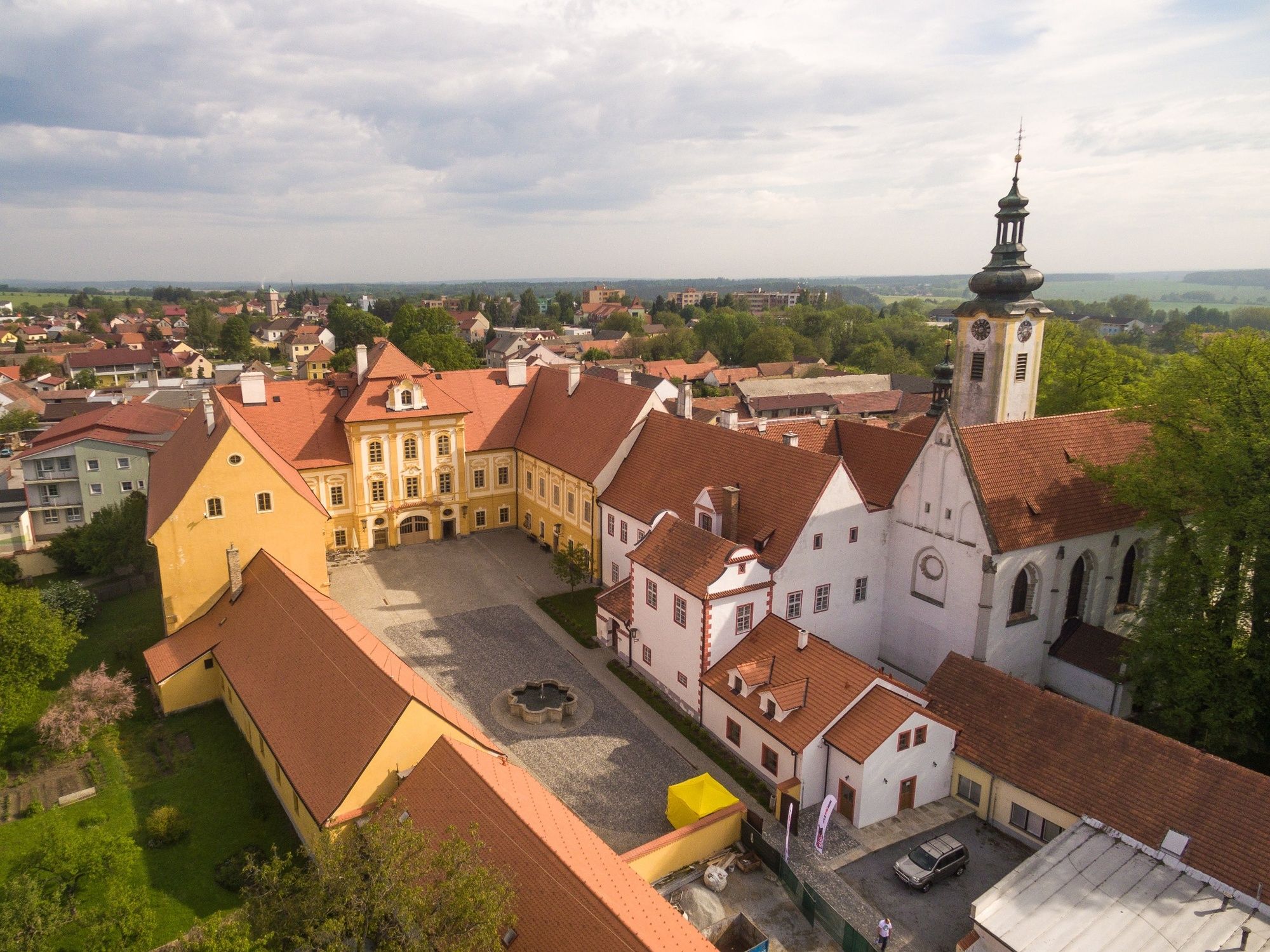
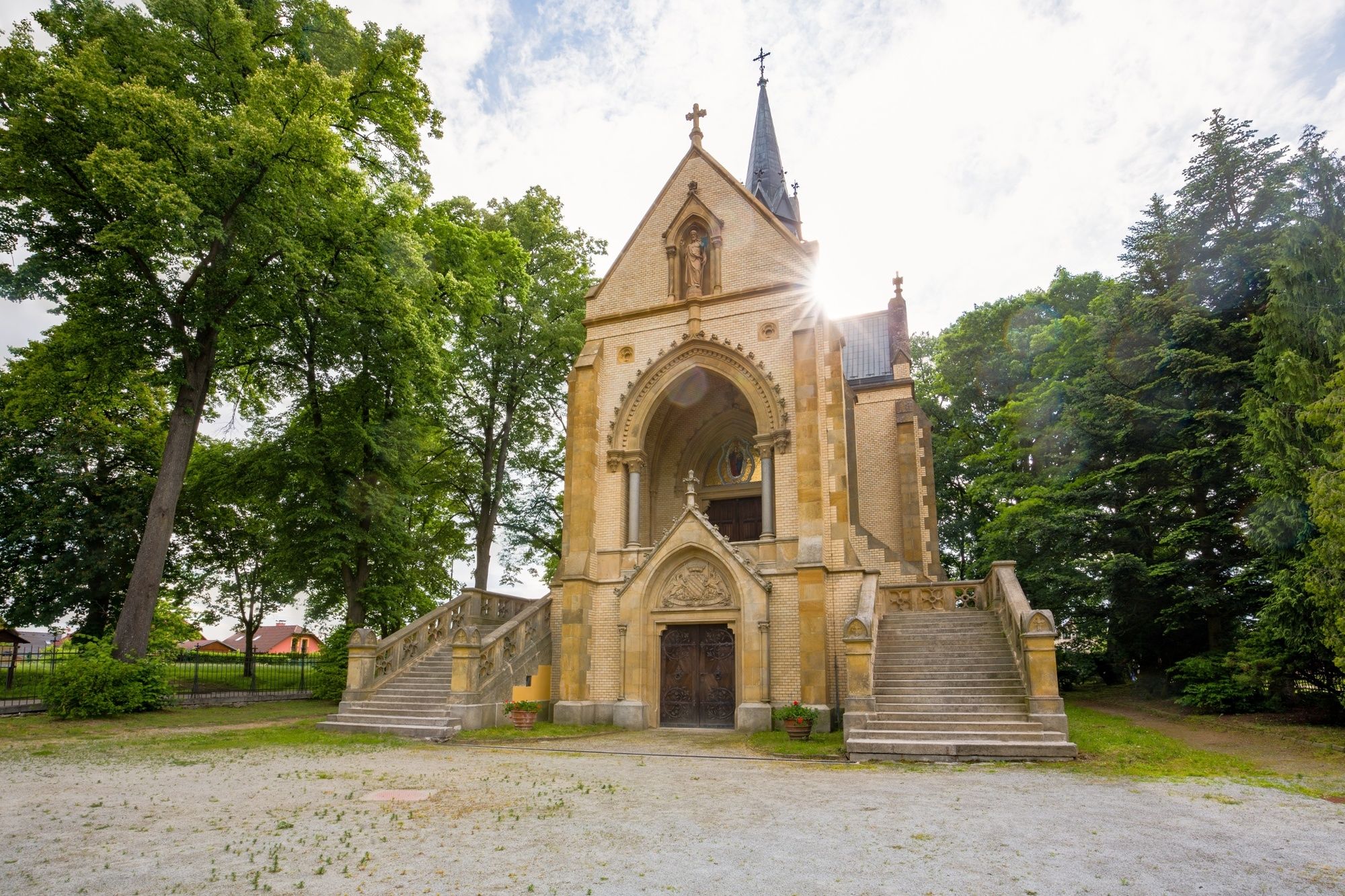
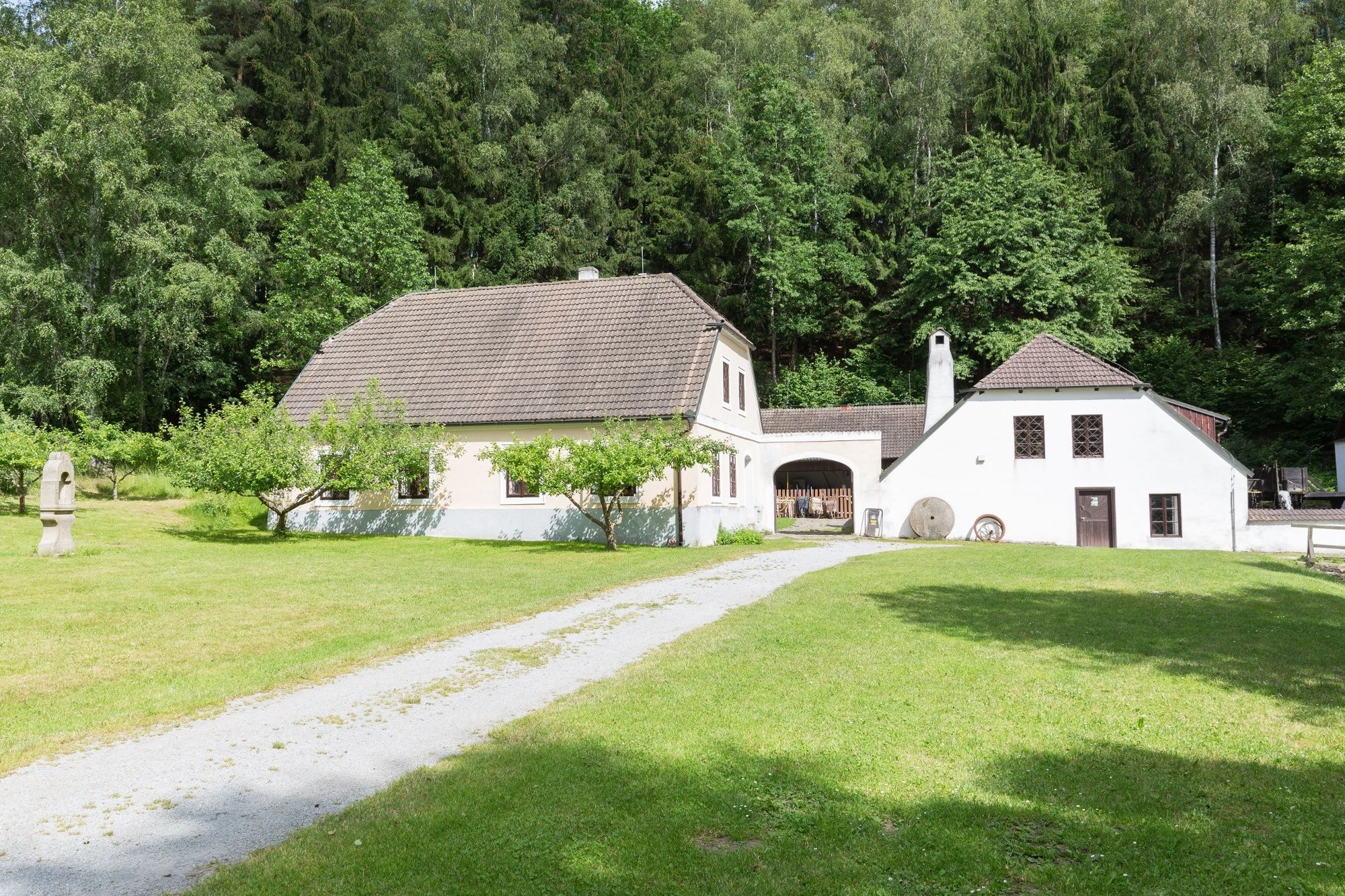
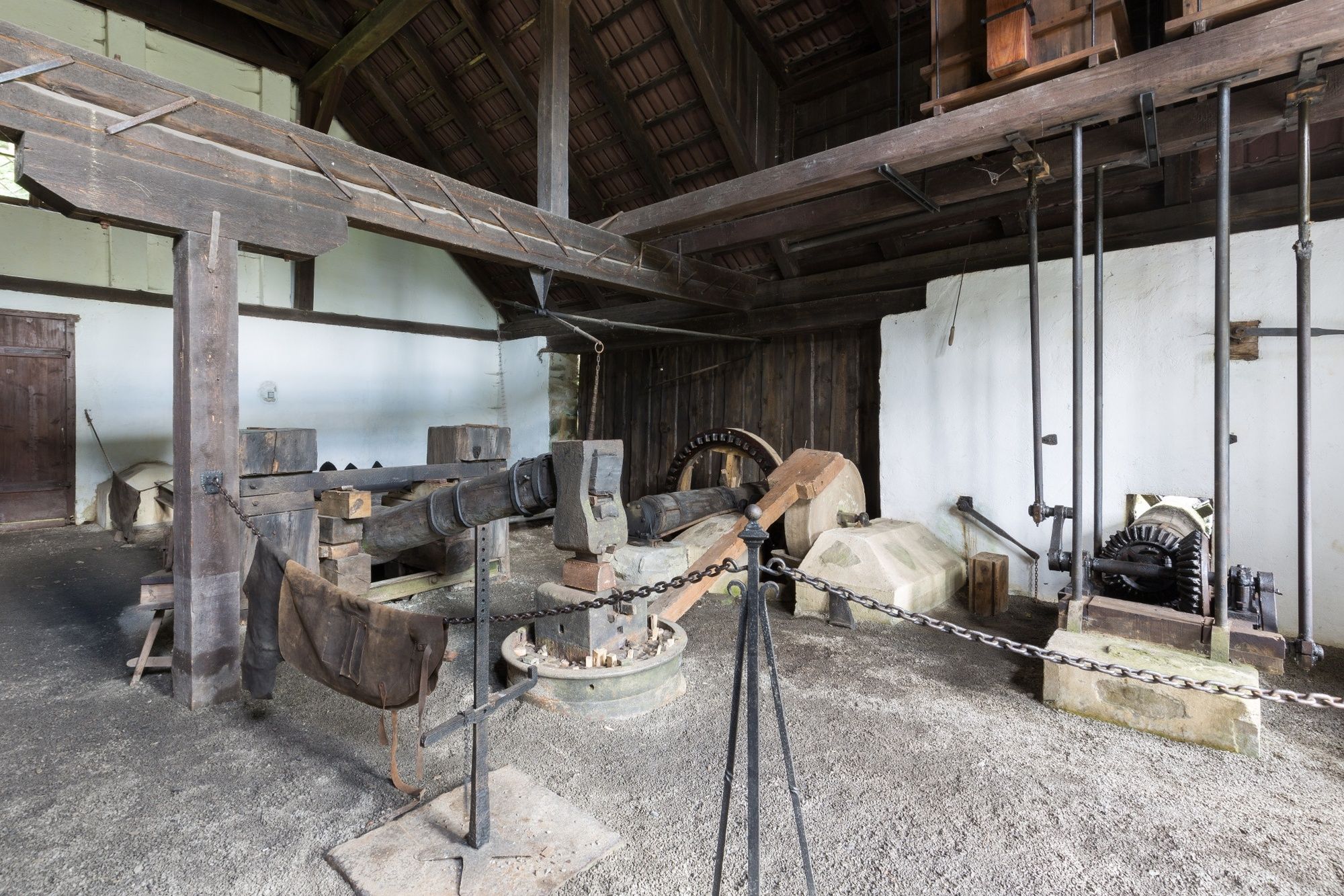
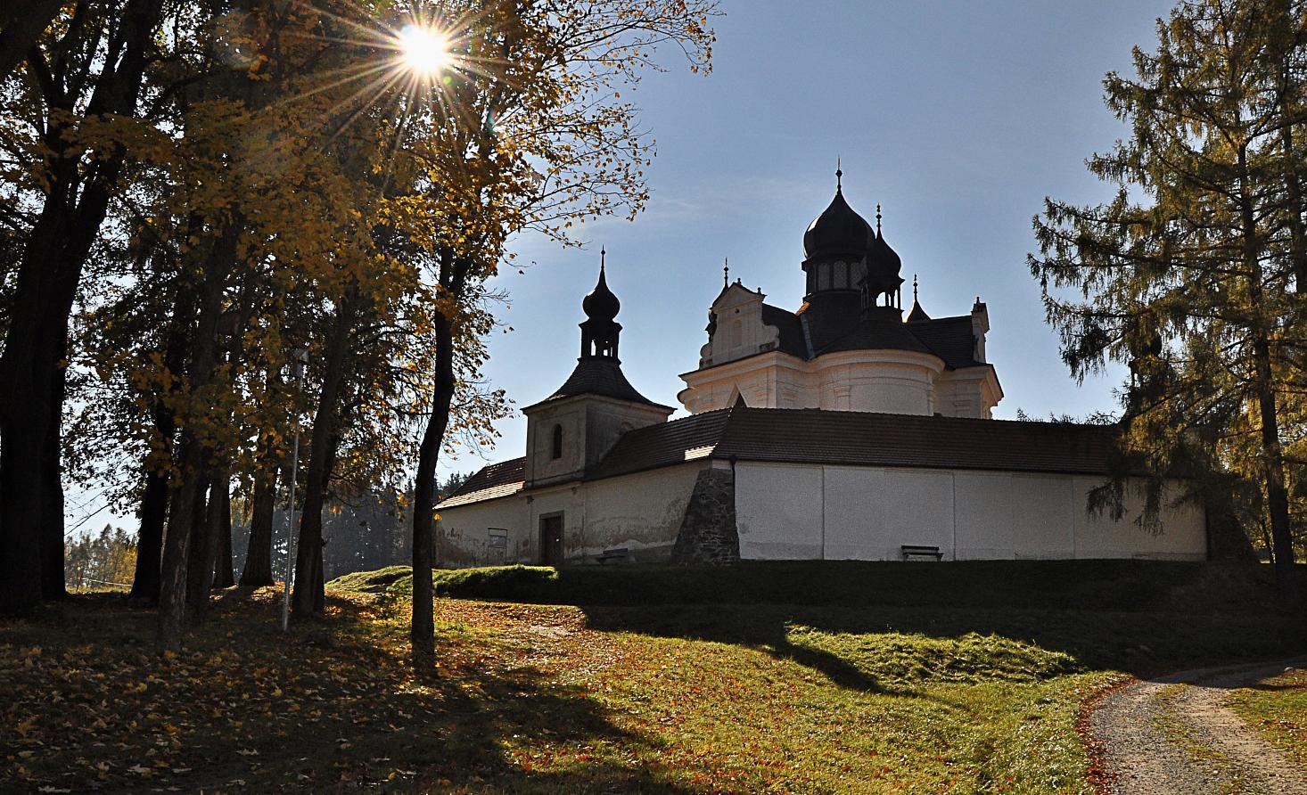
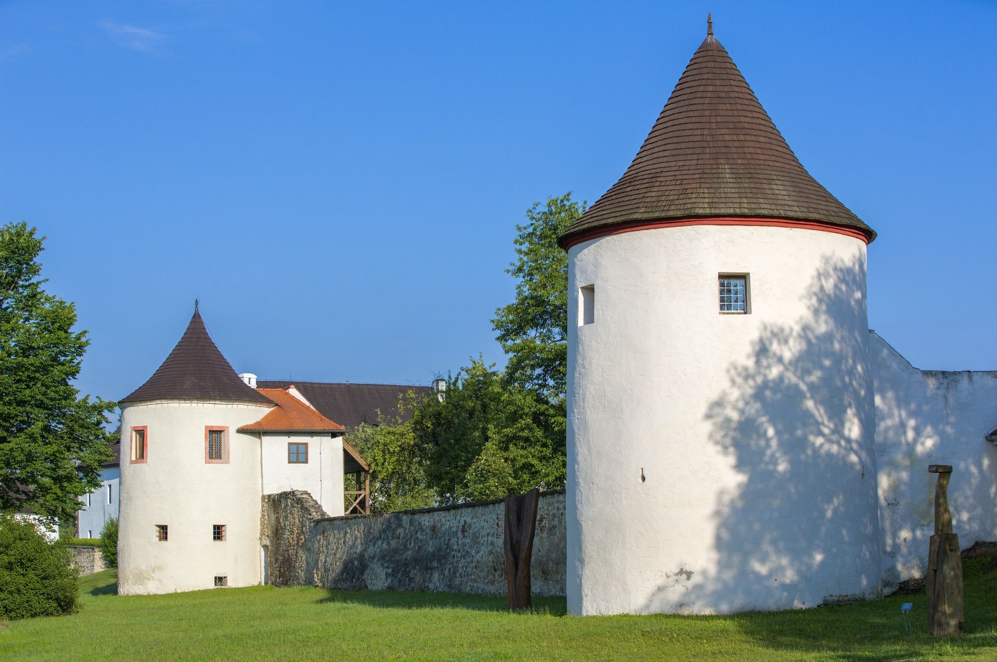
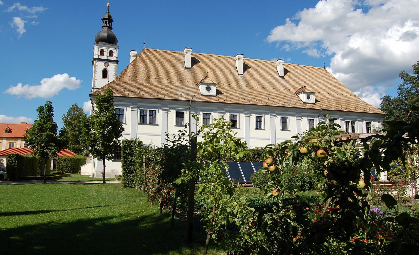
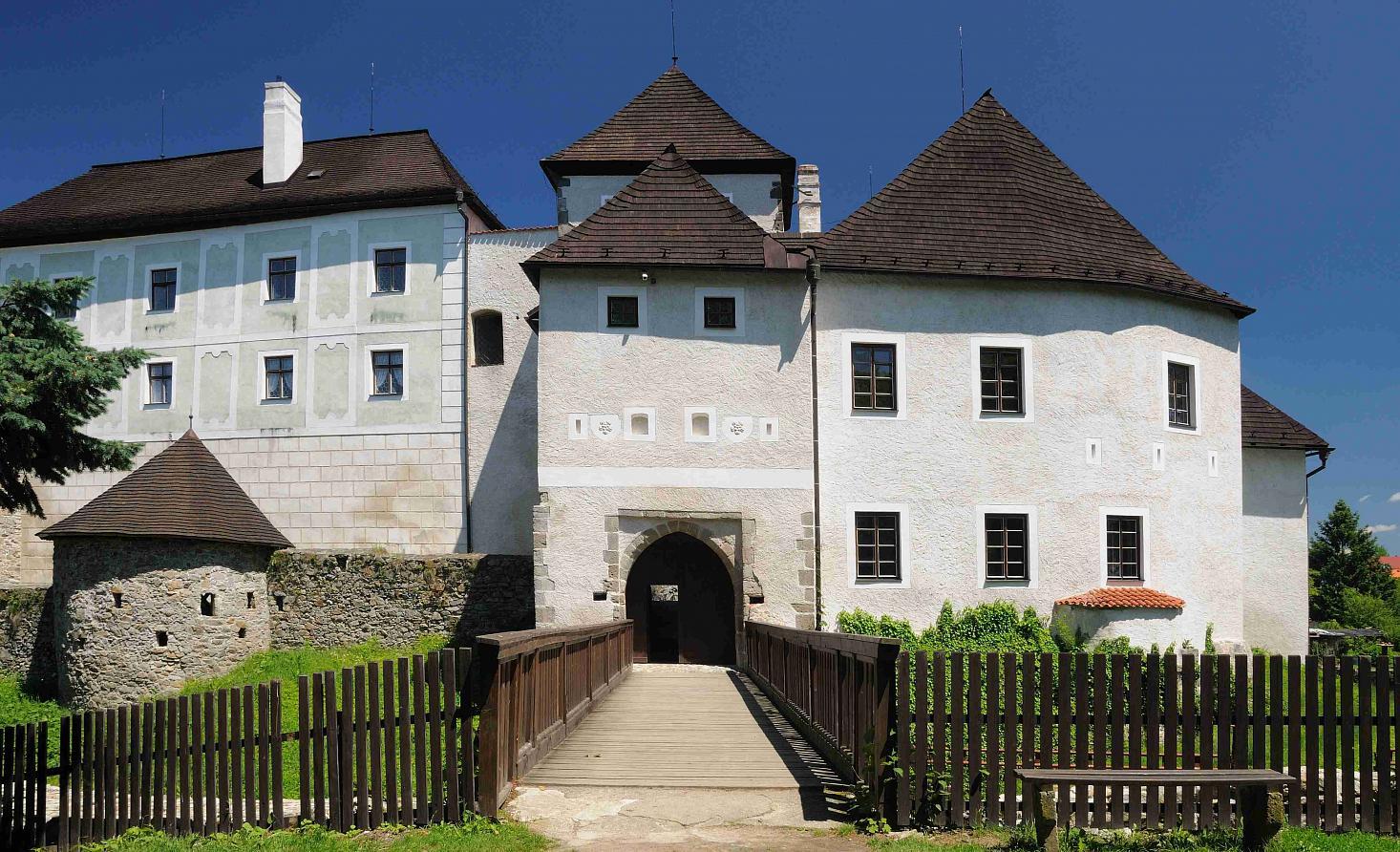
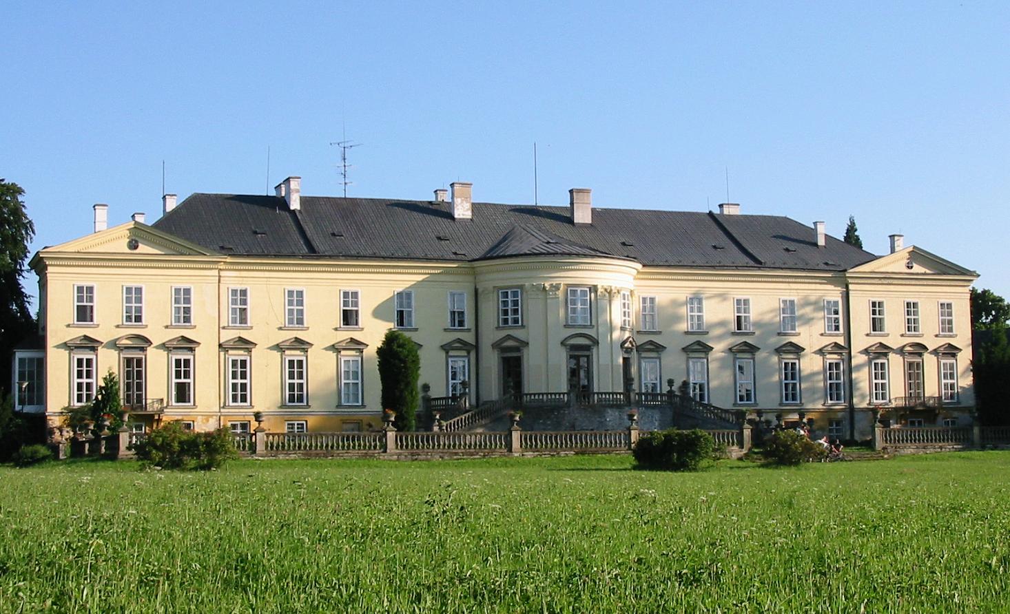
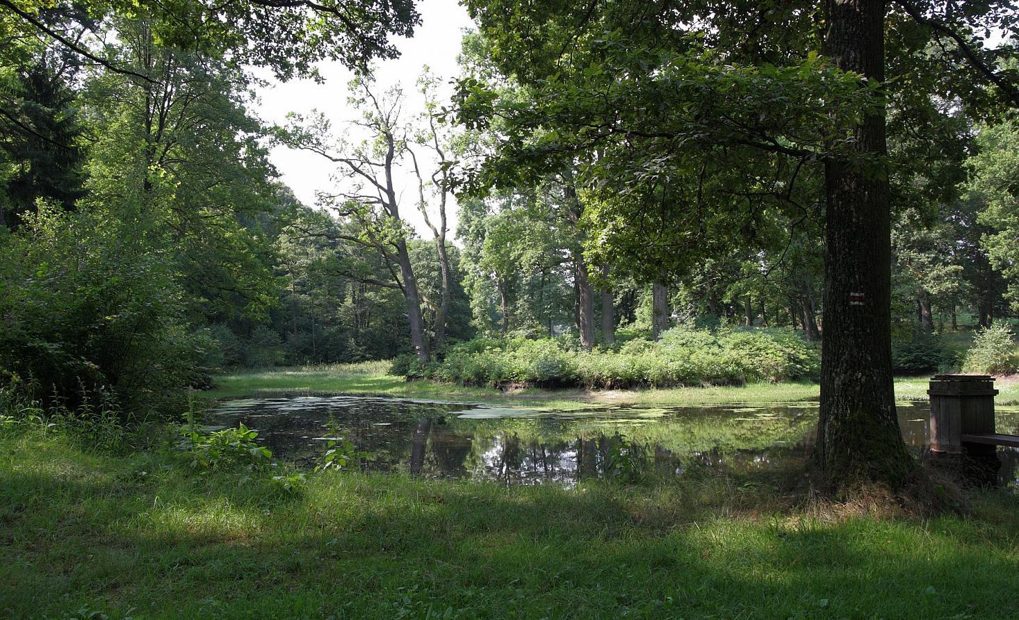
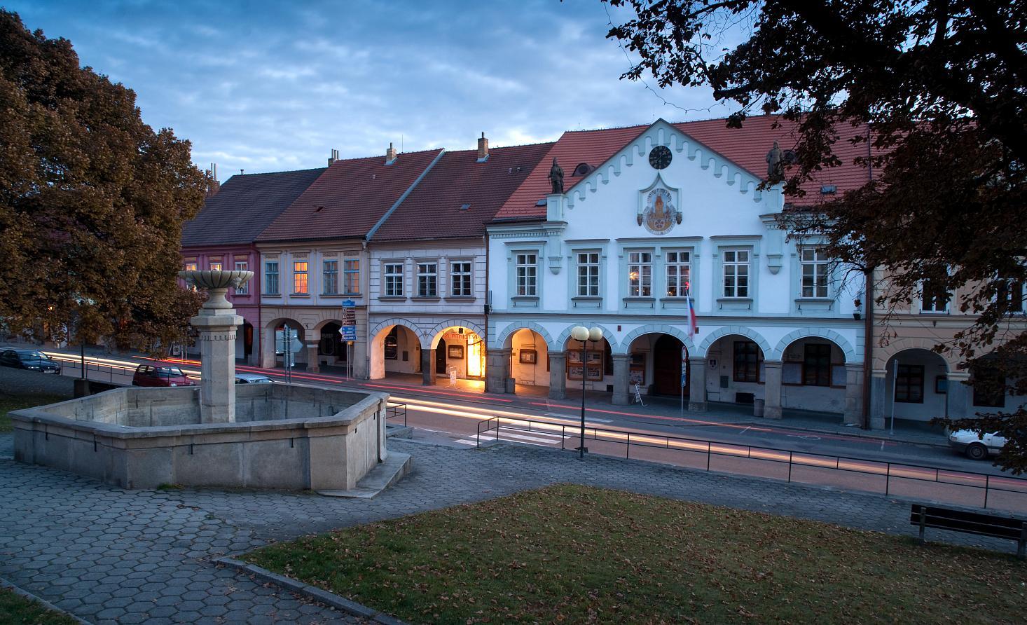
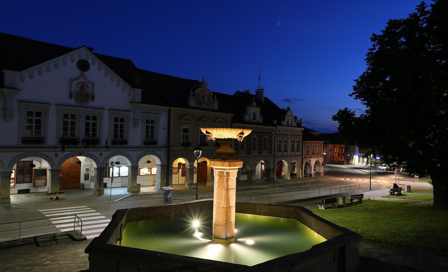
The route starts at the Malše River (from Mlýnská stoka) taking the cycletrail No. 1050 and 1096. It passes through the streets of the county town Budweis heading eastwards to Dobrá Voda. Here it turns north and continues along the marked trails No. 1050 and 1096. At the crossroad Na Samotách the route joins the trail No. 1050 leaving the county town and heading through Kaliště and Zaliny to Ledenice. In the centre of Ledenice, the route turns south running still the trail No. 1050, after leaving Ledenice it continues around a photovoltaic power plant and a waste dump Marius Pedersen southwards to Borovany. Here at the castle, the route turns to the bicycle trail No. 1123 and around an indoor pool, Lazna spa and open air museum leaves Borovany heading to southwest. The route follows a part of the Nature Trail “Totalitarianism divides us” and continues along the trail No. 1123 to Ostrovský Újezd, further south to Rankov where it leaves the trail No. 1123 and along a roadway leads to Otávky and Trhové Sviny. The route passes through its city centre and continues again to the trail No. 1123 that leaves the town in the southward direction. It continues around the probably most impressive landmark of Trhové Sviny – the Church of the Holy Trinity. The route runs then to the south through Boršíkov and Čížkrajice, where it turns eastward and through Klažary leads to Žumberk. Here, the route leaves the trail No. 1123 and follows the trail No. 1046 and taking a part of the Nature Trail “ Memories of Novohradsko” it runs through Božejov (here turns to the south) and Svébohy to Horní Stropnice. In Horní Stropnice the route leaves the cycle trail and taking the B road it leads to the stronghold Cuknštejn and through Terčino Údolí to Nové Hrady. The route passes through the city centre and continues to the trail No. 34 leading to Vraní hnízdo. Here, the route leaves the trail No. 34 and follows the cycle trail No. 1048 that passes through Šejby and Dobrá Voda to Hojná Voda where it ends. The route is 69 km long and is suitable for an all-daytrip.
- Highest point
- 805 m
- Height profile
-
 © outdooractive.com

- Author
-
The tour From Budweis to the springs of Good Water is used by outdooractive.com provided.


General info
-
Südböhmen
11
-
Region Třeboň
13