


- Brief description
-
Comfortable hiking tour to the Kreealmen.
- Difficulty
-
easy
- Rating
-
- Starting point
-
Parking lot Hüttschlag valley end
- Route
-
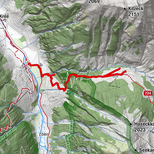
Kreealm Kreehüte2.2 kmKreealm3.0 kmKreealm Bichlhütte3.1 kmKreealm-Wasserfall6.2 km
- Best season
-
JanFebMarAprMayJunJulAugSepOctNovDec
- Description
-
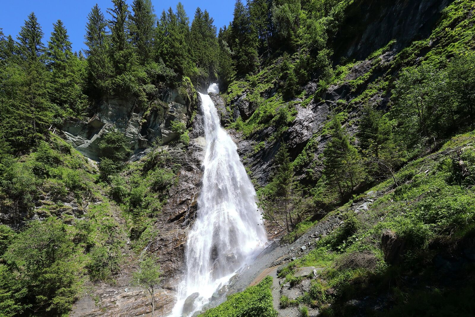
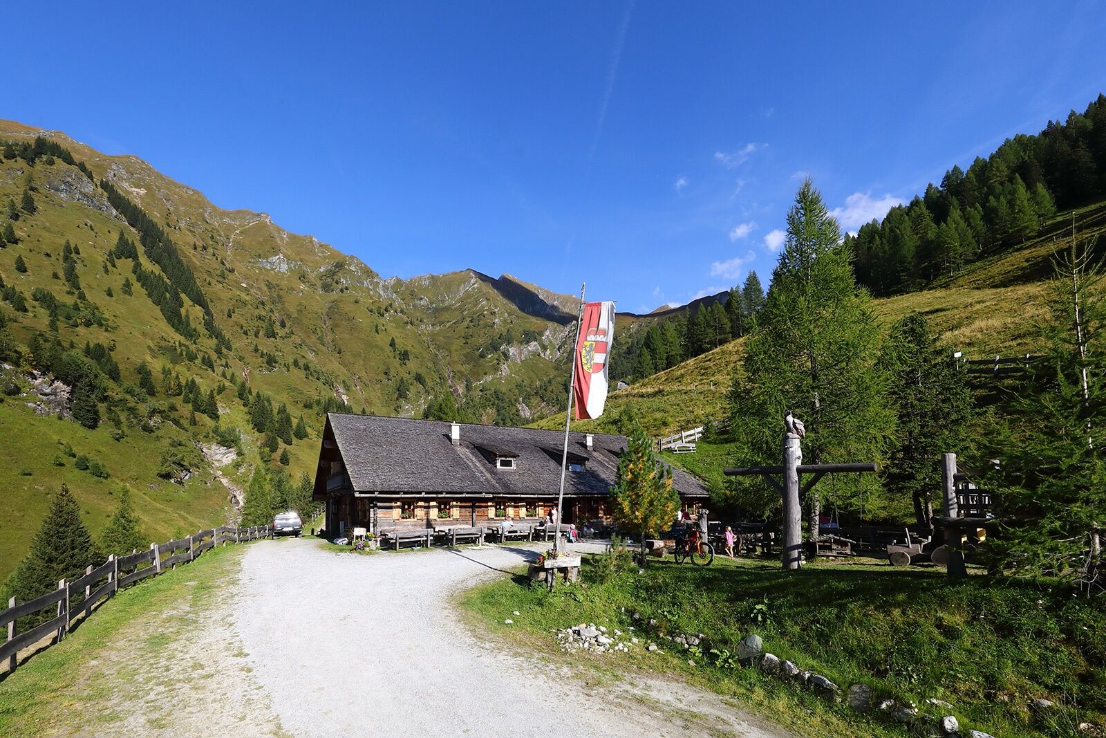
This hiking tour starts at the parking possibility at the Gasthof Talwirt. You pass the farm Stockham. Right at the beginning of the path to the Kreealmen your should take a short detour to the Kreealm-Waterfall (cascade), which plunges over a 100 m high cliff into the valley.
You have the choice if you hike on the forest road or you take the shortcuts through the forest. Shortly before the huts you pass a small chapel.
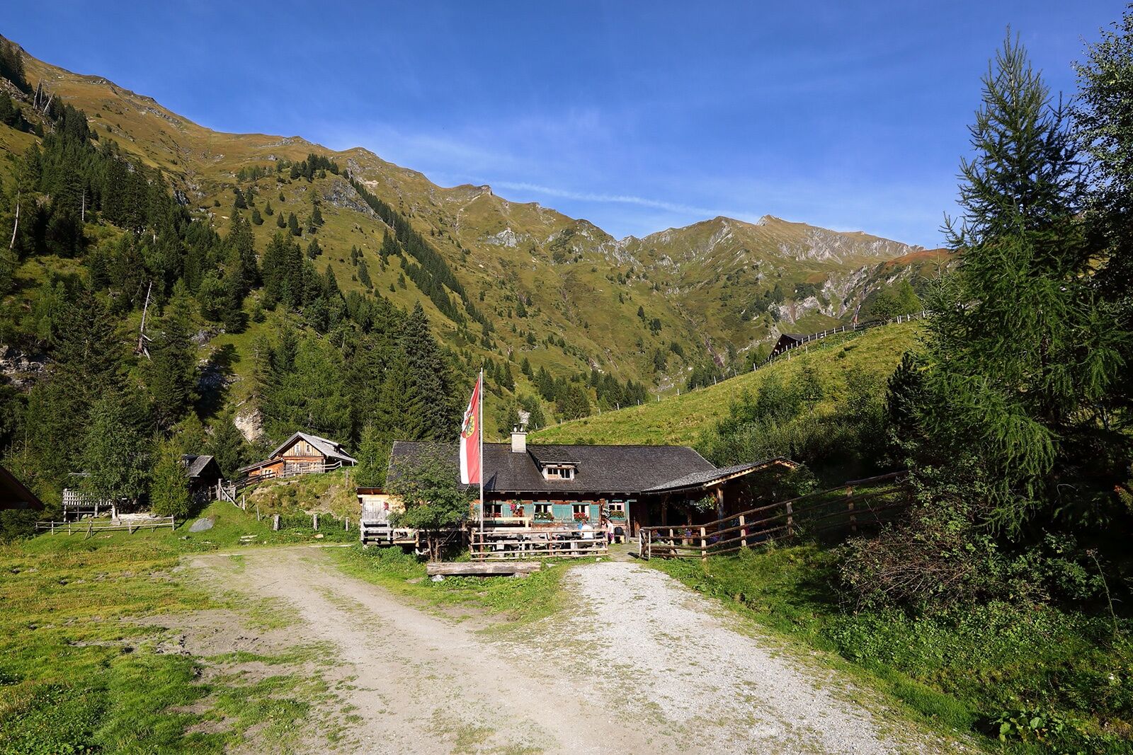
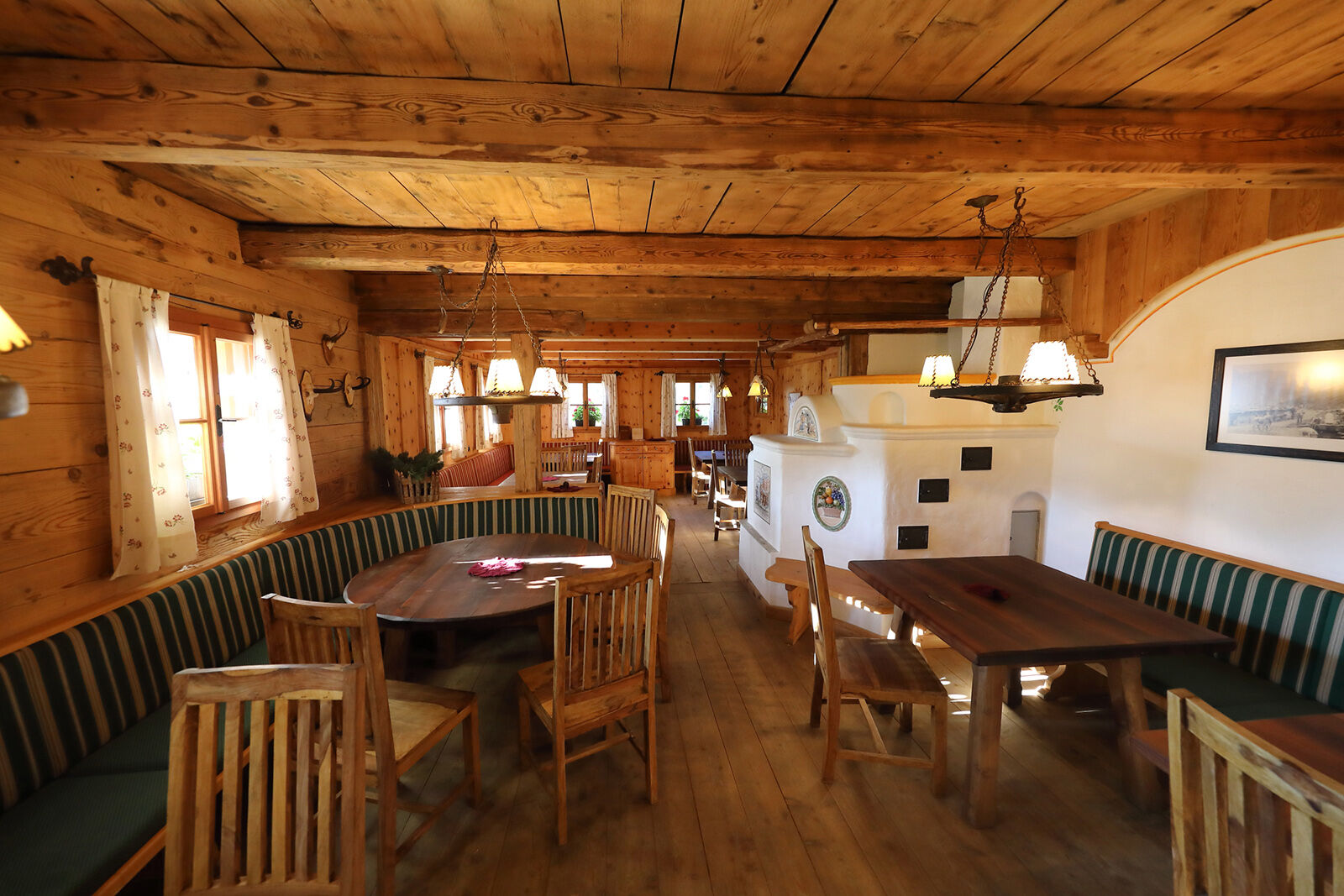
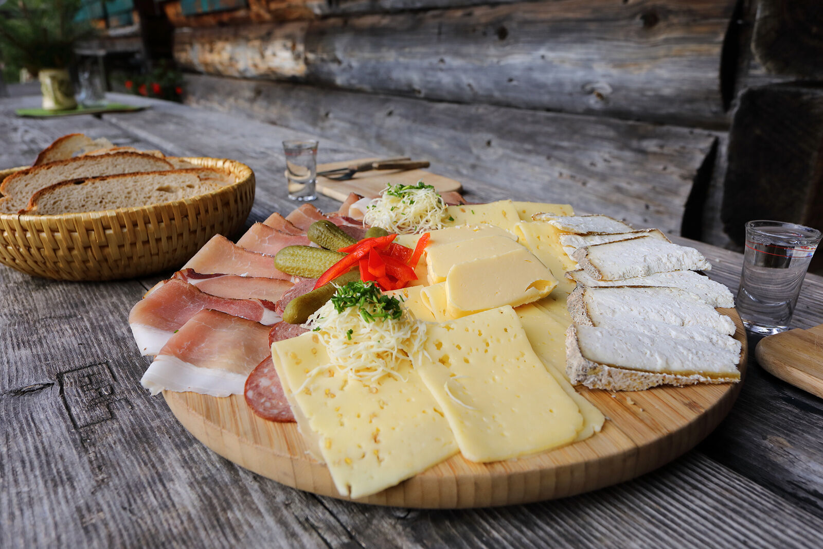
Two huts are located on the Kreealm, the Kreealm-Kreehütte and the Kreealm-Bichlhütte. On both mountain huts you can taste self-made delicacies (cheese, butter, bread, bacon or sausage). On the upper mountain hut, the Bichlhütte, there is a large playground for the children.
- Directions
-
You go by car or public bus to Hüttschlag/Stockham - parking possibility at the Gasthof Talwirt. You hike to the farm Stockham (camping side) and turn left after the bridge. You hike up on the way nr. 724, 51 (forest road or along the shortcuts) to the Kreealmen (Kreehütte, 1.483 m and Bichlhütte, 1.570 m, about 1 1/2 h). You hike back on the same way.
- Highest point
- 1,510 m
- Endpoint
-
Kreealmen
- Height profile
-

- Equipment
-
hiking boots with grip sole, hiking map
- Tips
-
On the Kreealm-Bichlhütte there is a big playground for the children.
- Additional information
- Directions
-
You go by car or public bus no. 540 to Hüttschlag and further to the valley end to the Gasthof Talwirt.
- Public transportation
- Parking
-
parking possibility Hüttschlag valley head
- Author
-
The tour Hüttschlag: Kreealmen is used by outdooractive.com provided.


General info
-
Katschberg Lieser-Maltatal
2574
-
Großarltal
2156
-
Hüttschlag
840


