© Pongau

© Pongau

© Pongau
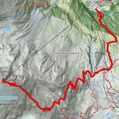
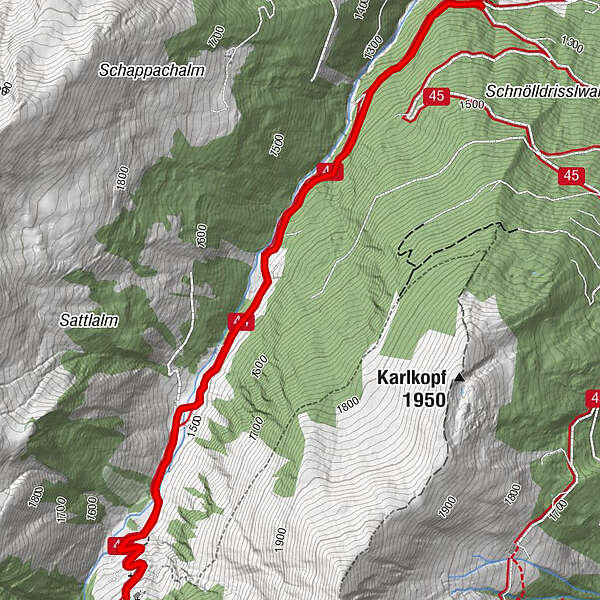
Tour data
7.15km
1,275
- 1,600m
308hm
301hm
01:15h
- Rating
-
- Route
-
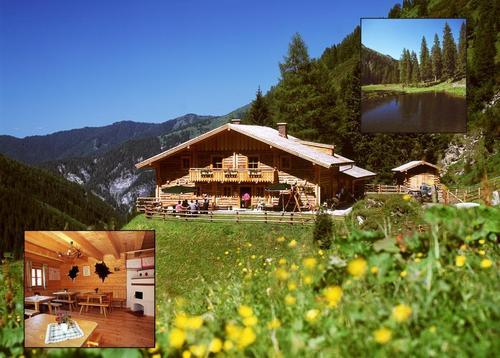
Reitalm3.6 km
- Highest point
- 1,600 m
- Height profile
-


- Author
-
PongauThe tour Reitalm is used by outdooractive.com provided.
GPS Downloads


Other tours in the regions