© Lahntal Tourismus Verband e. V. - Christian Liebetruth
© Lahntal Tourismus Verband e. V. - Christian Liebetruth
© Lahntal Tourismus Verband e. V. - Christian Liebetruth

© Lahntal Tourismus Verband e. V. - Christian Liebetruth

© Lahntal Tourismus Verband e. V. - Christian Liebetruth
© Sozialstation Biebertal - Sozialstation Biebertal Leicht
© Lahntal Tourismus Verband e. V. - Christian Liebetruth

- Brief description
-
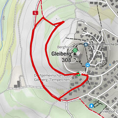
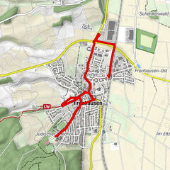
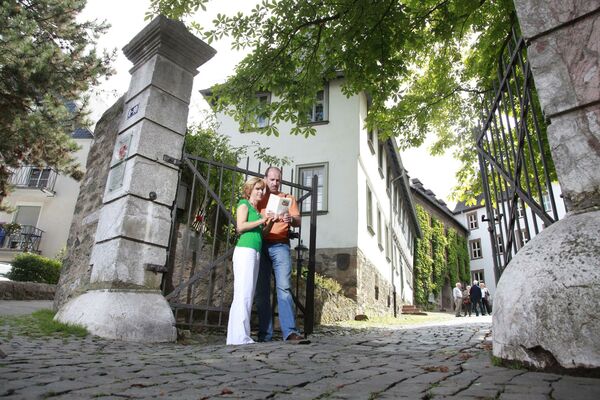
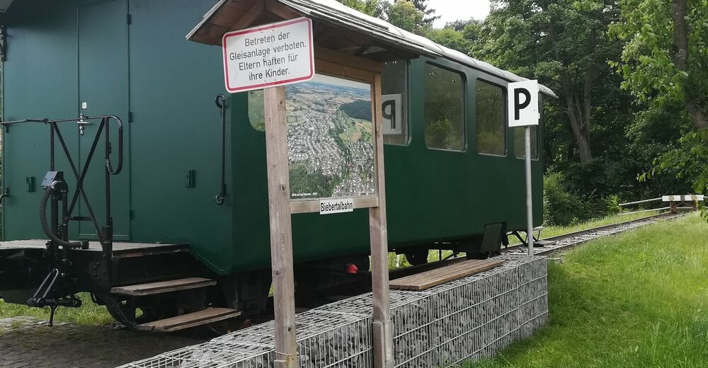
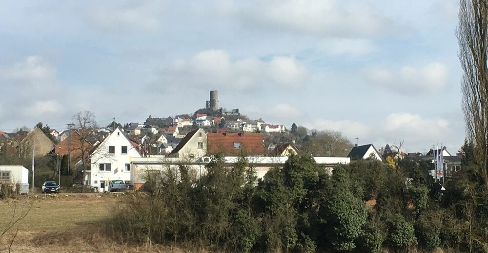
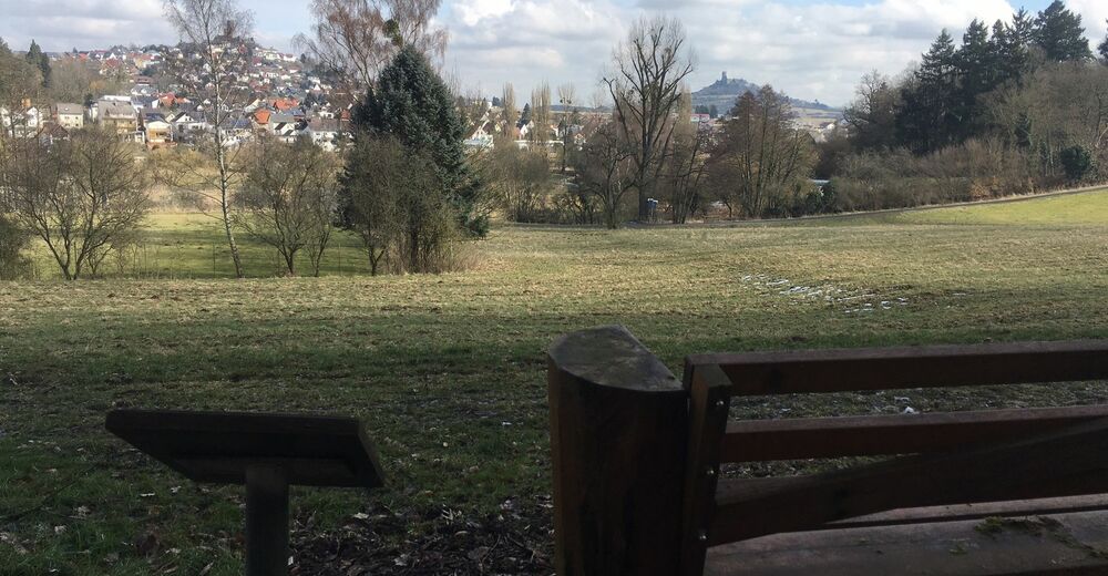
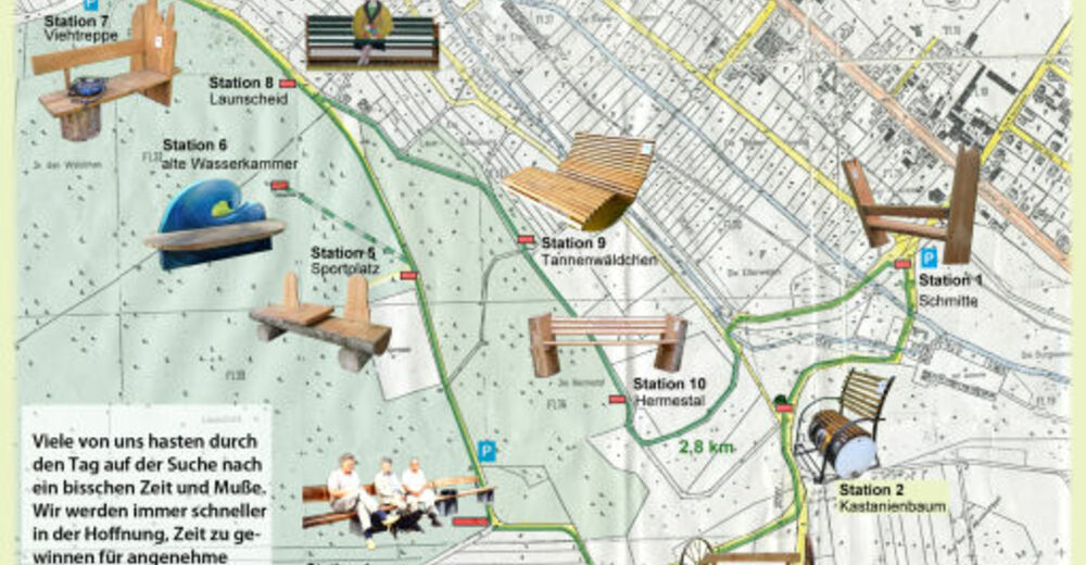
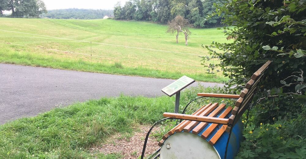
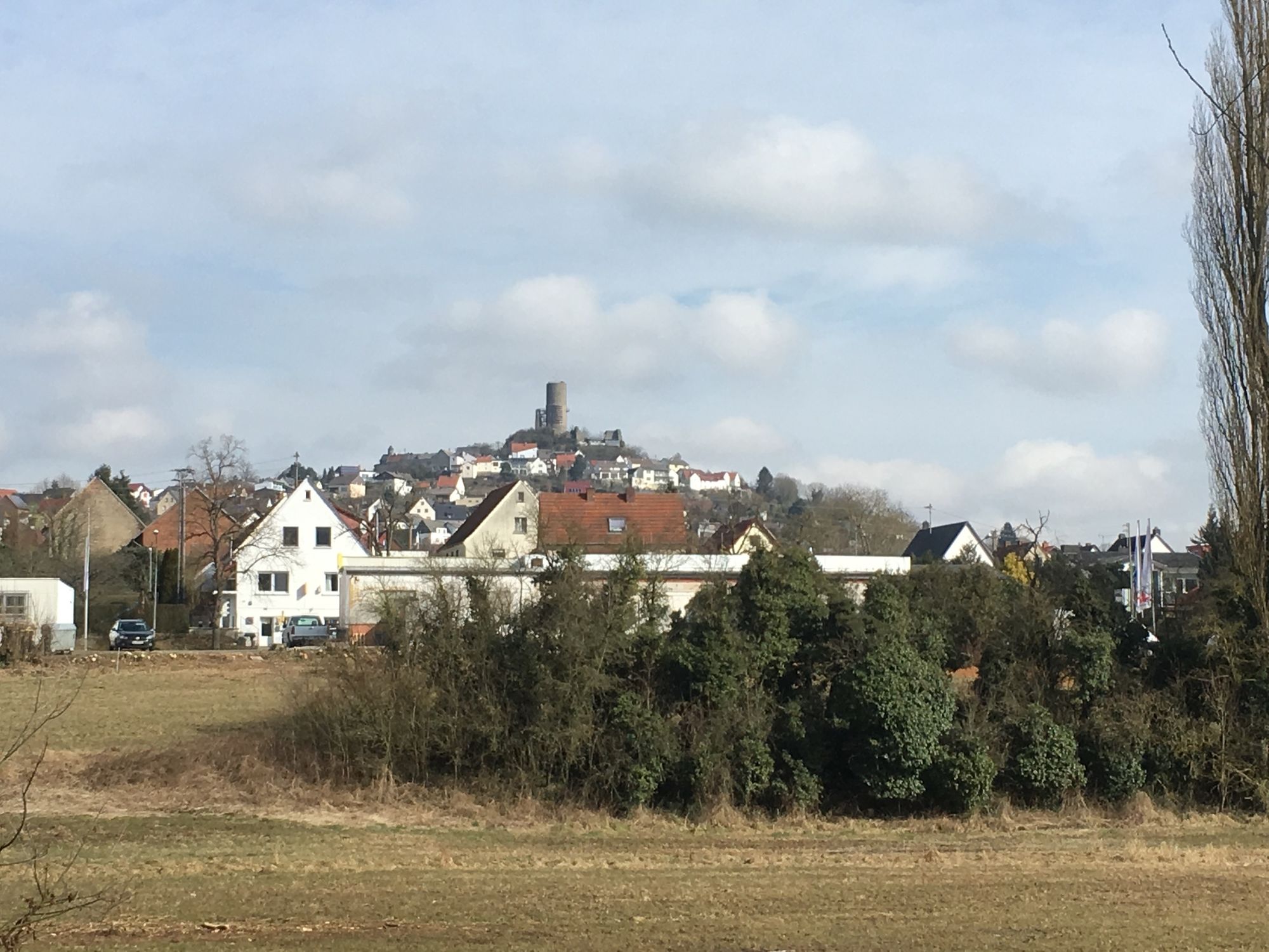
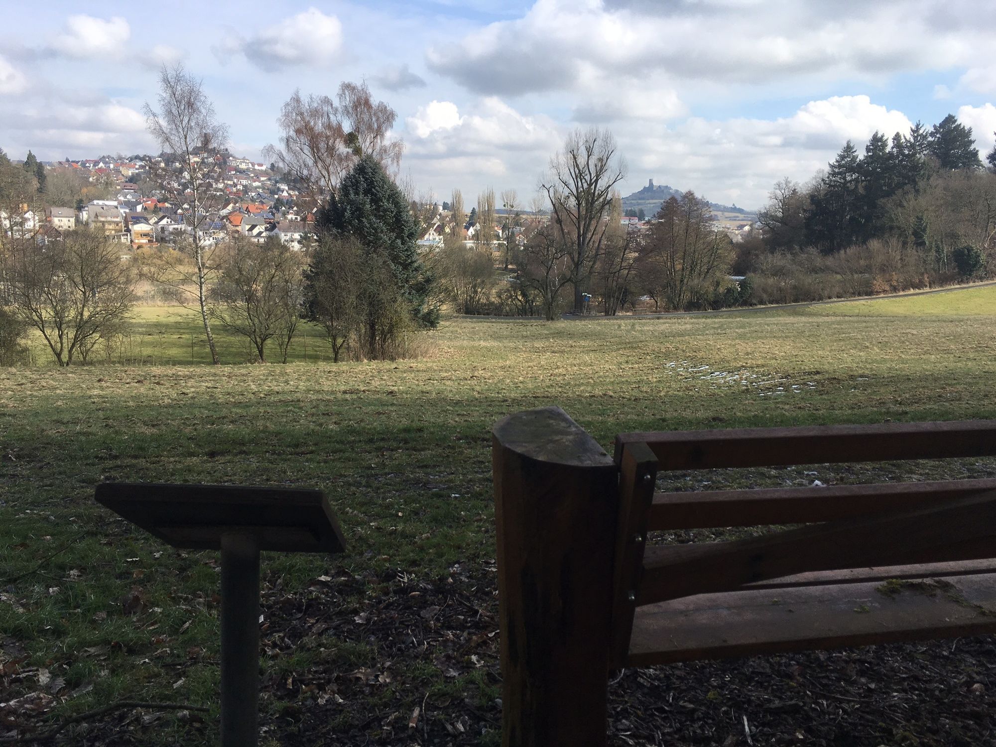
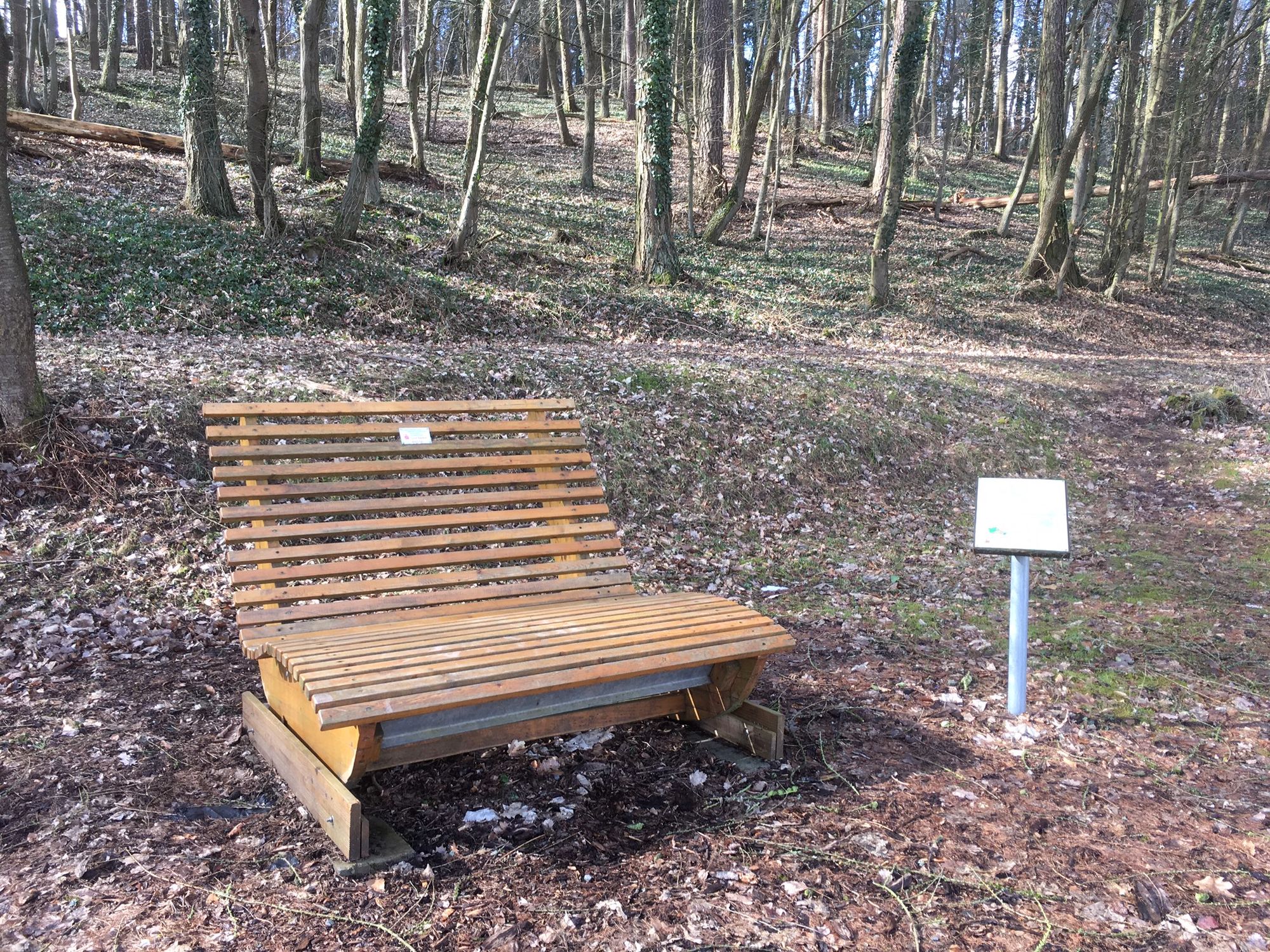
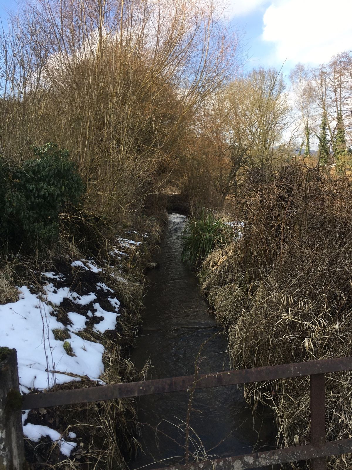
Der Biebertaler Entschleunigungsweg bietet malerischen Ausblicke auf Natur und Kultur in Biebertal und ist einzigartig im Gleiberger Land.
- Difficulty
-
easy
- Rating
-
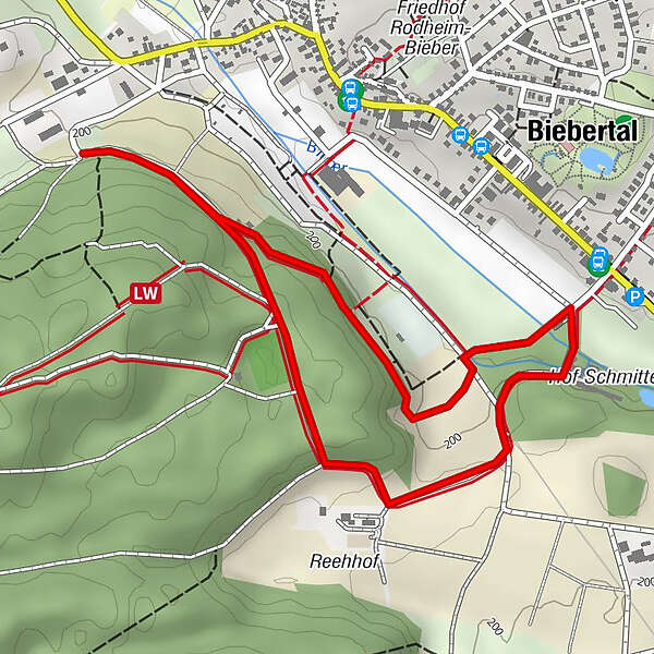
- Route
-
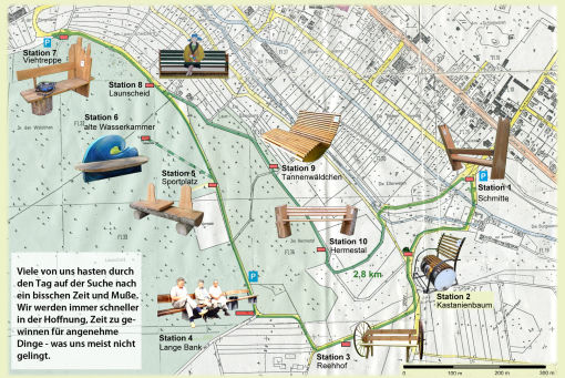
Rodheim-Bieber1.3 kmBiebertal (226 m)2.8 km
- Best season
-
JanFebMarAprMayJunJulAugSepOctNovDec
- Highest point
- 236 m
- Endpoint
-
Parkplatz im Talweg in Biebertal
- Height profile
-
 © outdooractive.com
- Author
-
The tour Biebertaler Entschleunigungsweg is used by outdooractive.com provided.
GPS Downloads


General info
Cultural/Historical
Insider tip
A lot of view
Other tours in the regions
-
Lahntal / Hessen
459
-
Gleiberger Land
185
-
Gießen
38