

© Pongau

© Pongau

© Pongau

© Pongau

© Pongau
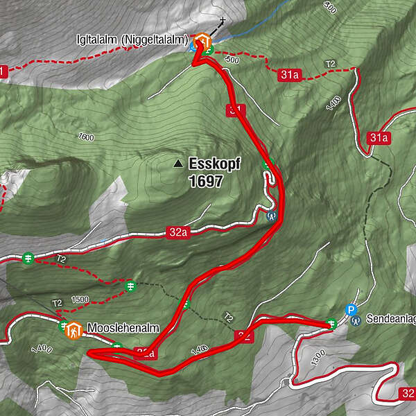
Tour data
4.6km
1,335
- 1,516m
176hm
175hm
02:00h
- Rating
-
- Route
-
Igltalalm (Niggeltalalm)2.3 km
- Highest point
- 1,516 m
- Height profile
-


- Author
-
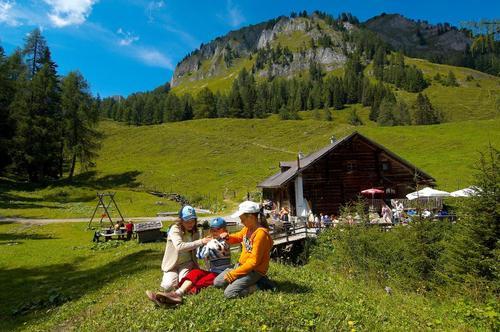
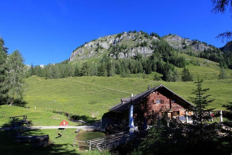
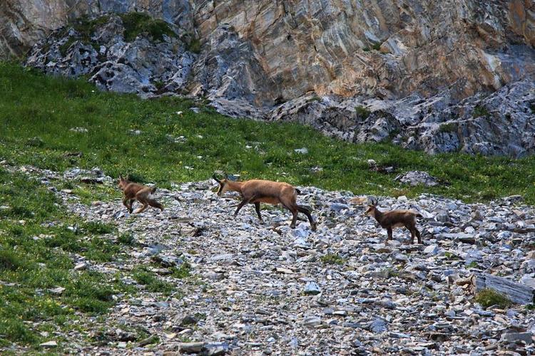
PongauThe tour Igltalalm (Niggeltalalm) is used by outdooractive.com provided.
GPS Downloads


Other tours in the regions
-
Katschberg Lieser-Maltatal
2556
-
Großarltal
2151
-
Großarl
953


