


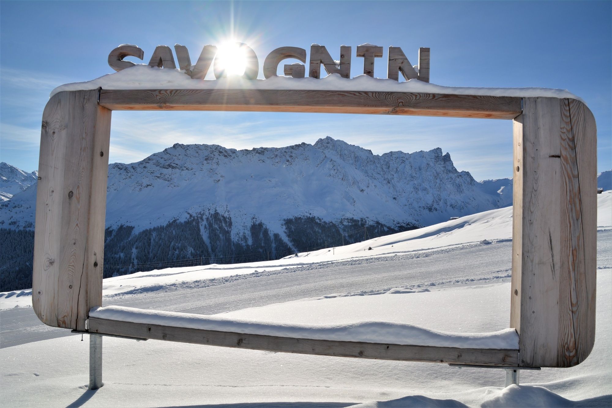
- Brief description
-
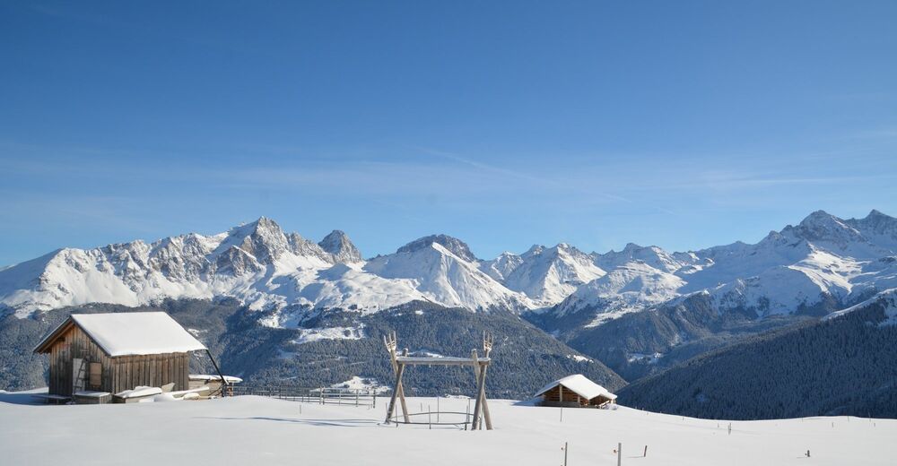
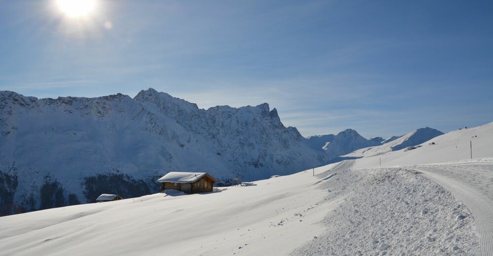
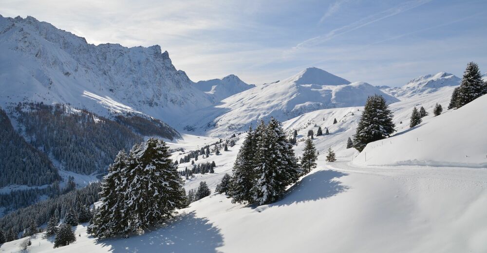
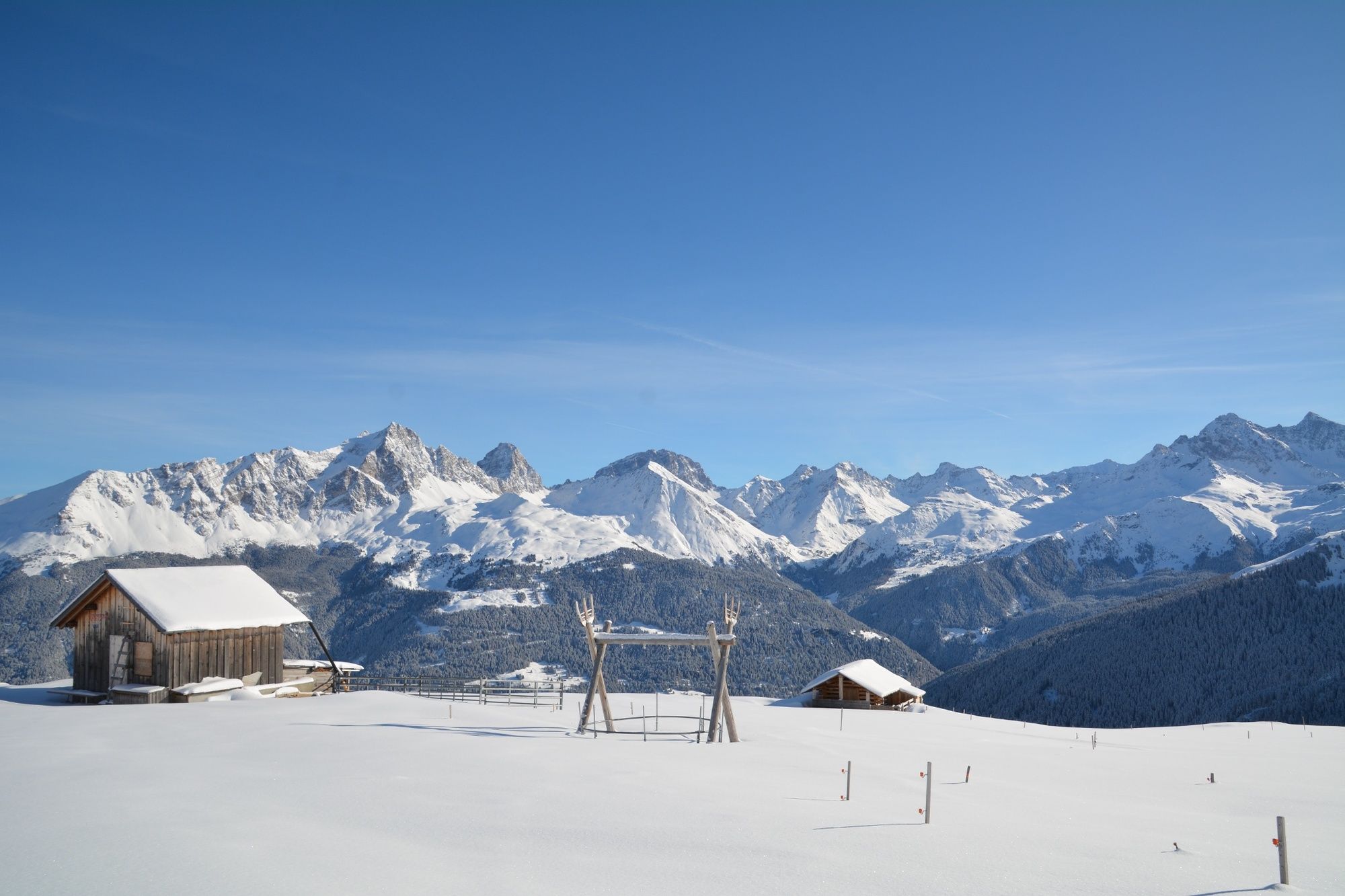
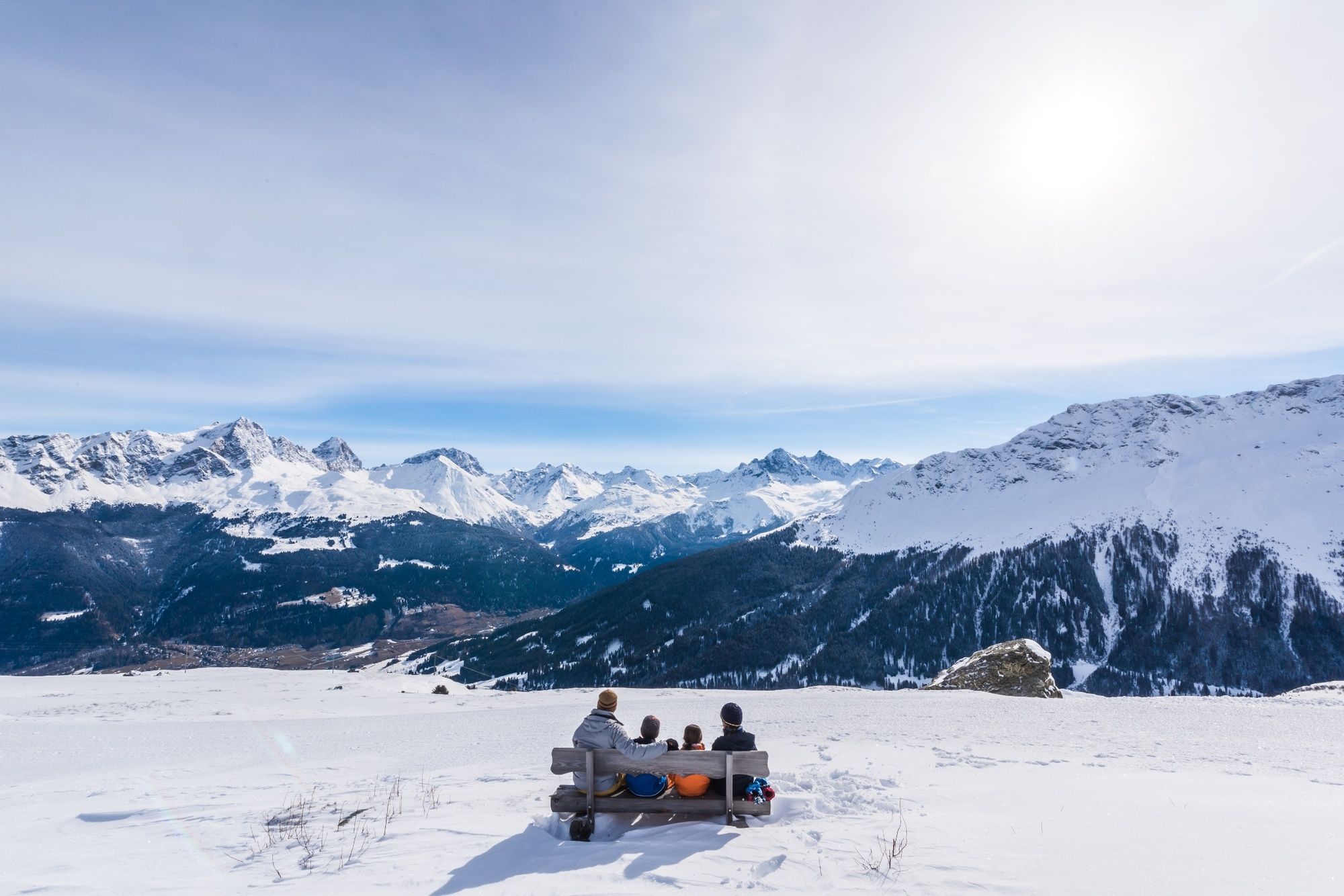
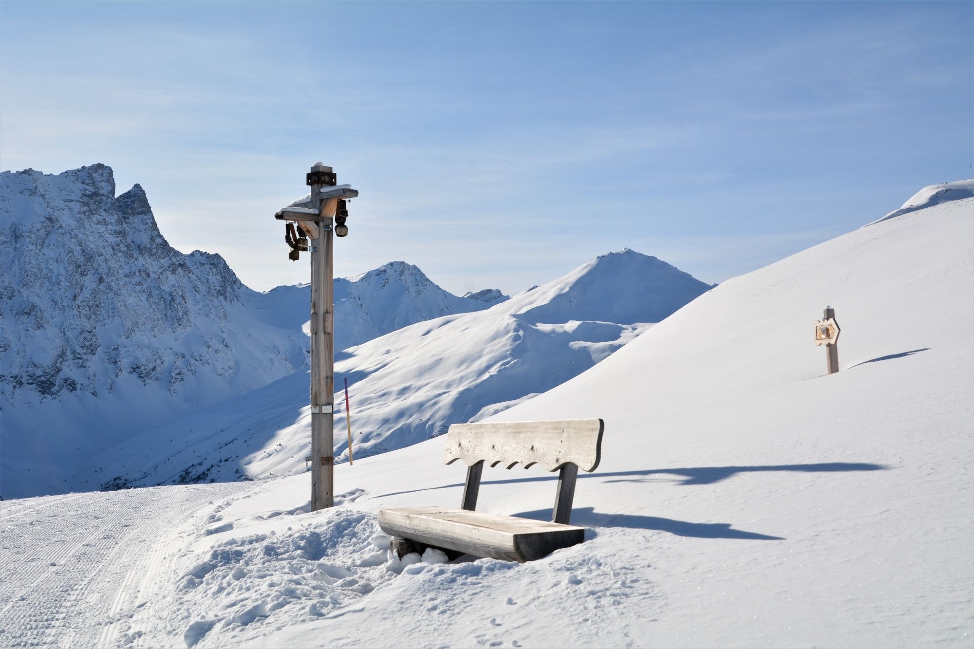
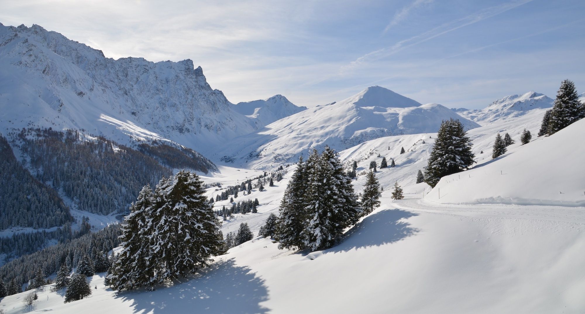
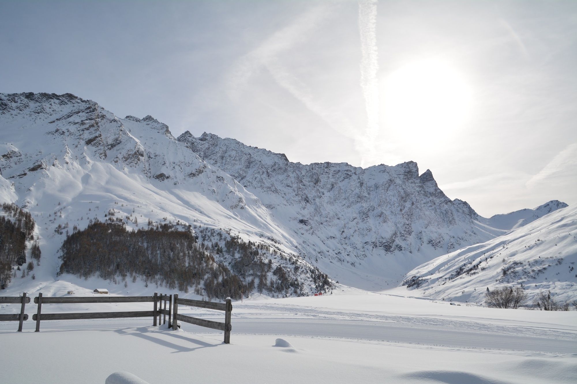
The trail runs high above Savognin with a wonderful view of the valley and the surrounding mountains with Piz Ela, Piz Mitgel and Tinzenhorn.
- Difficulty
-
medium
- Rating
-
- Route
-
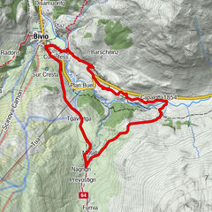
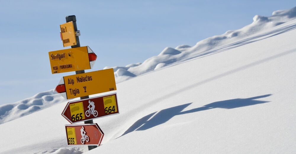
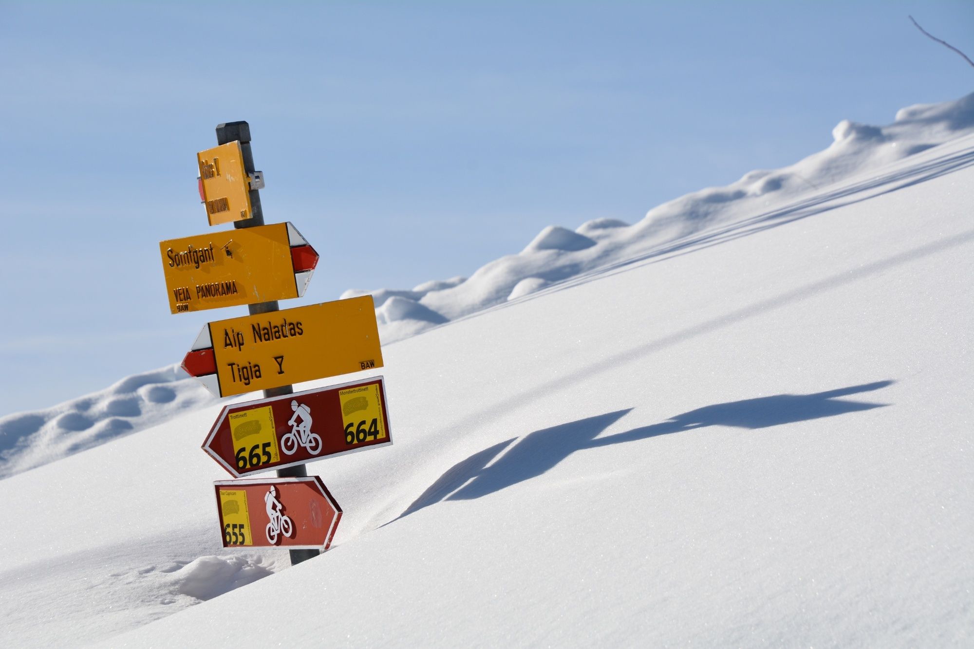
SomtgantAlp Somtgant0.4 kmAlp Naladas2.7 kmTigia3.9 kmUsteria Tigia4.1 kmManziel5.3 kmMalmigiucr6.4 kmTigignas8.0 km
- Best season
-
AugSepOctNovDecJanFebMarAprMayJunJul
- Description
-
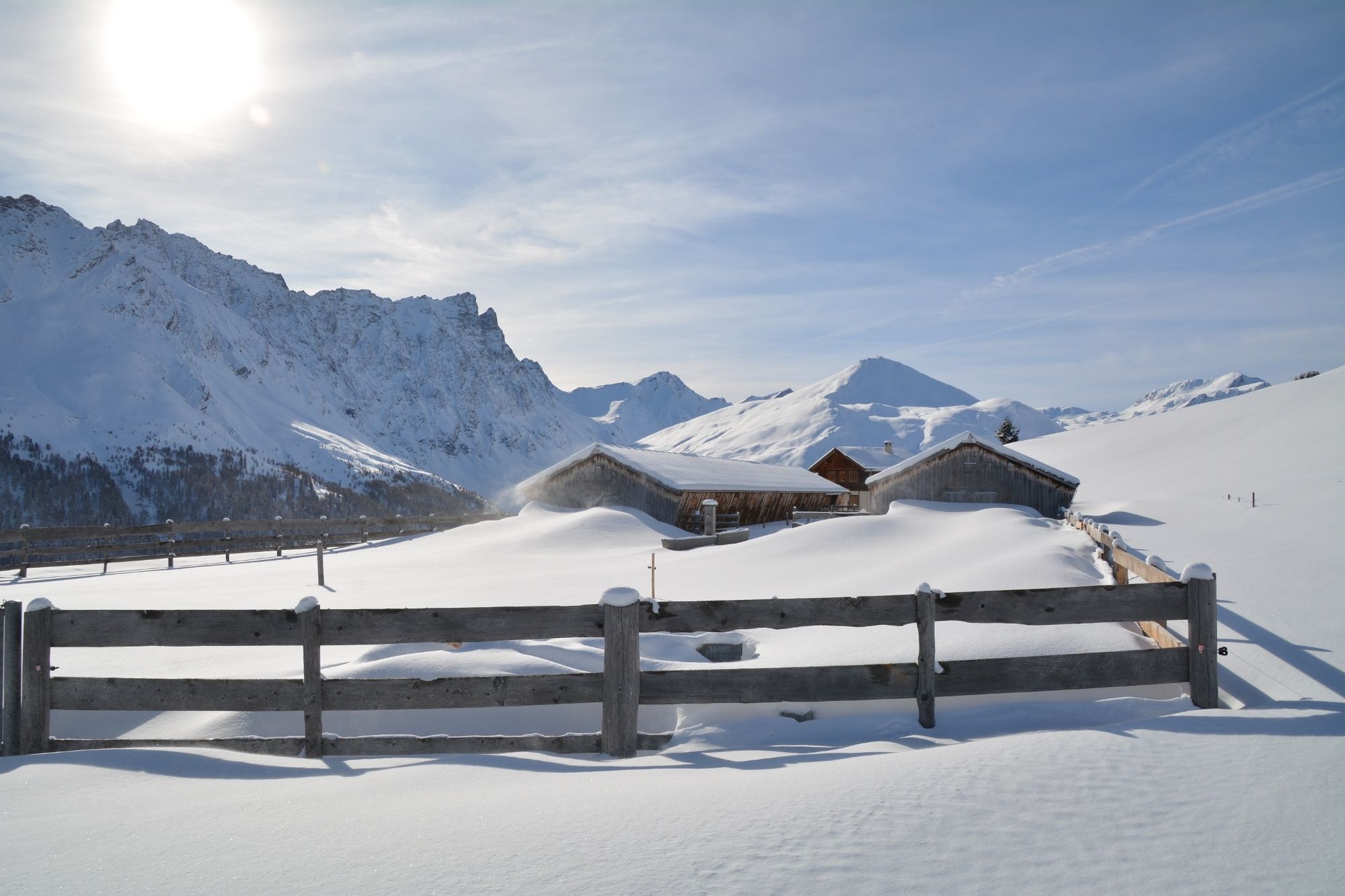
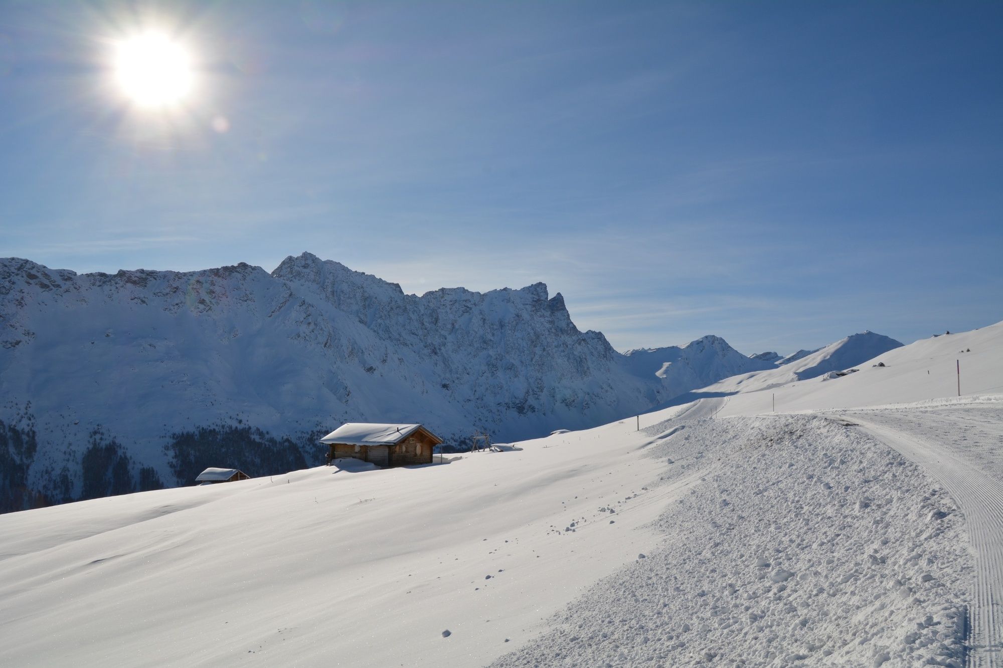
After the ride in the gondola from Tigignas to Somtgant, a wonderful panorama is waiting for you. The winter hiking trail leads across the Alp Somtgant to Radon, and then to Tigignas.
You are always accompanied by the views of the three «Bergüner Stöcke» - Piz Ela, Piz Mitgel and Tinzenhorn. Piz Ela is by the way also the eponym of the regional nature park «Parc Ela». Ela stands for «wings» in Romansh.
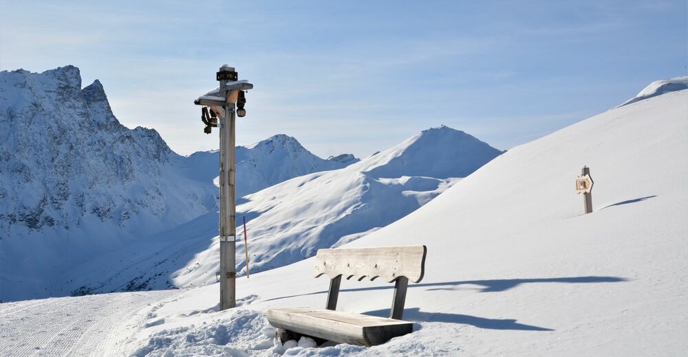
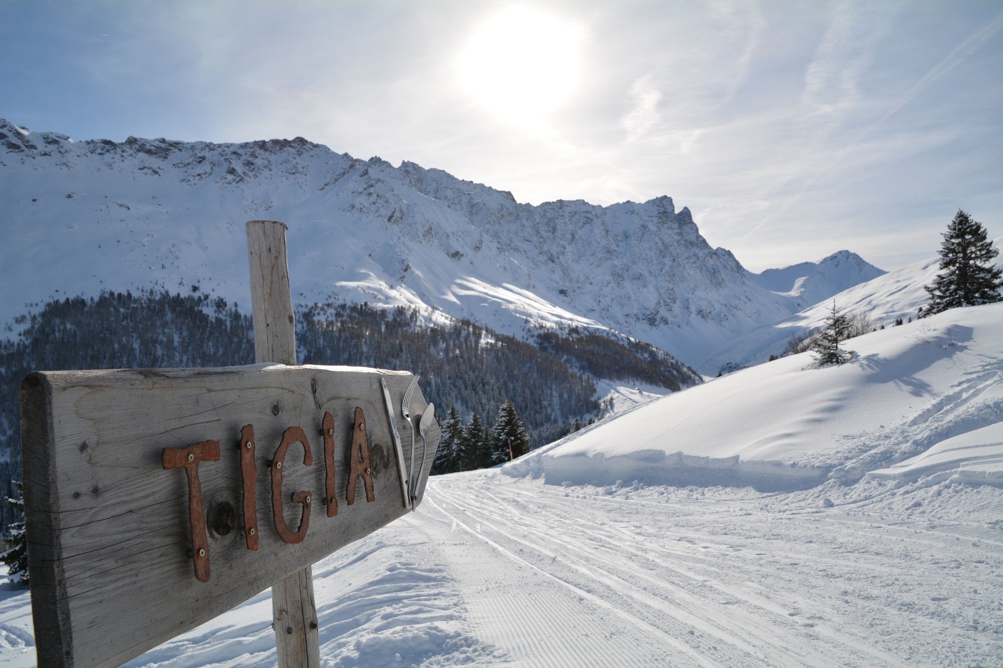
After the short hike to Alp Somtgant, the brought along sledge can be used for the descent since the winter hiking trail is also used as a cosy tobogganing run. In Radon or Tigia, restaurants invite you to a stay on the sun terrace. The winter hiking trail continues to Tigignas.
- Directions
-
Start: Somtgant
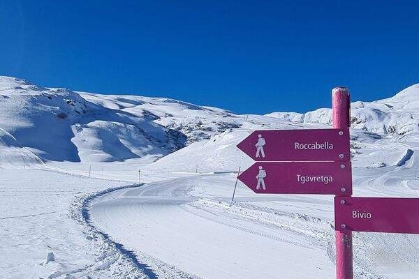
Route: Somtgant - Naladas - Tigia/Radons - Tigignas
Possibility: From Tigia via Fotgs - Parnoz to Savognin, 2 hours
- Highest point
- 2,150 m
- Endpoint
-
Tigignas
- Height profile
-
 © outdooractive.com
 - Tips
-
During the tour have a stop in one of the confortable restaurants.
- Directions
-
With mountain railway until Somtgant
- Public transportation
- Parking
-
At the valley station Savognin

- Author
-
The tour 340 Panoramaweg Somtgant is used by outdooractive.com provided.


General info
-
Val Surses
156
-
Savognin
26