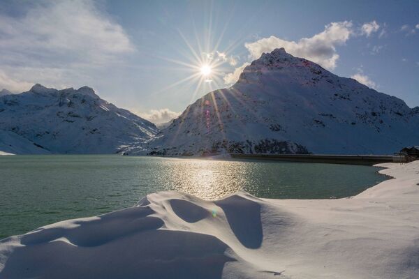

- Brief description
-
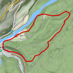
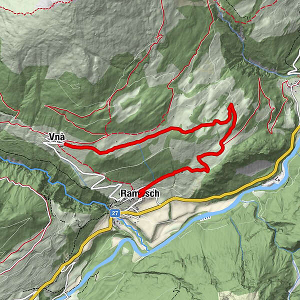
A winter hike from the mountain village of Vnà over the snow-covered terraced landscape to Ramosch, with spectacular views, mostly downhill. Sledging and the optional extension of the hike via Martinatsch are possible.
- Difficulty
-
easy
- Rating
-
- Starting point
-
PostBus stop Vnà, Jalmèr
- Route
-
VnàRamosch (1,236 m)6.4 kmFlorinuskirche6.6 km
- Best season
-
AugSepOctNovDecJanFebMarAprMayJunJul
- Description
-
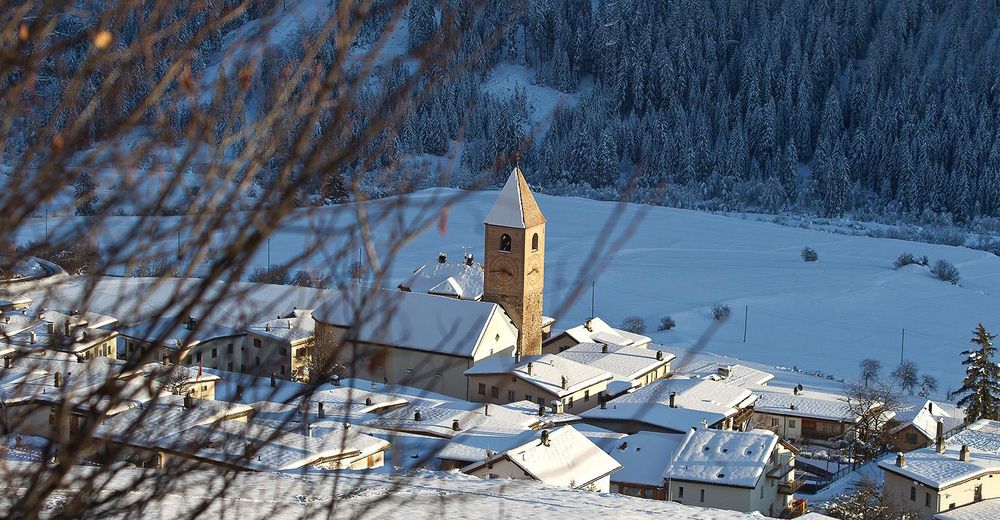
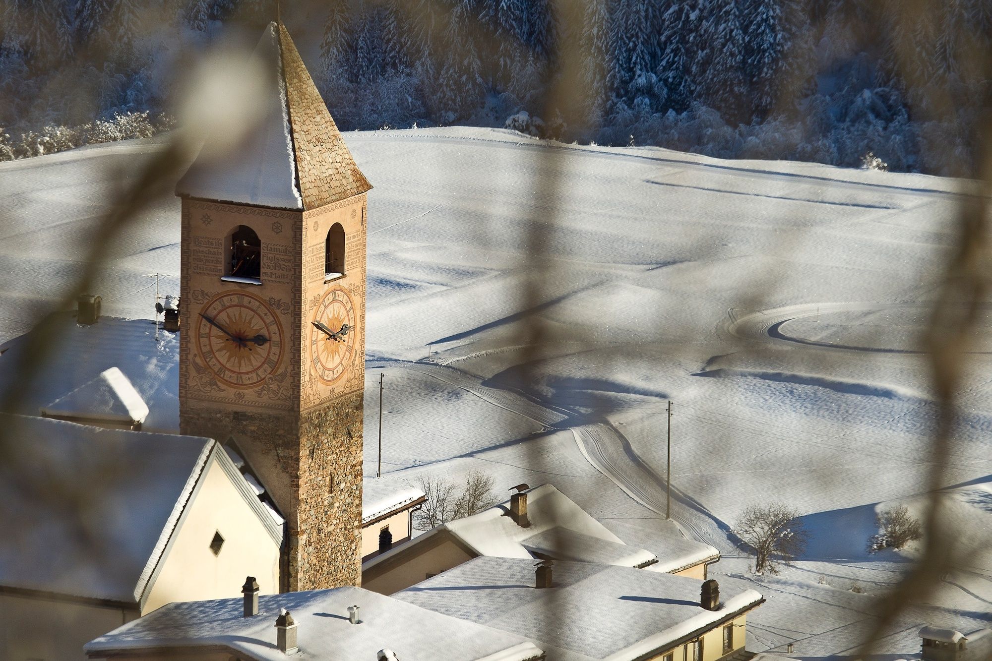
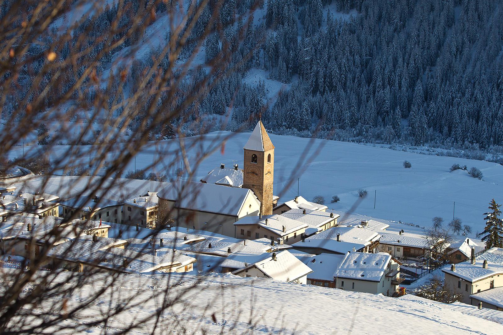
From the village of Vnà, the route follows a flat, wide road over the open south-facing slope through the snow-covered terraced landscape to Sur Savuogn, offering an impressive mountain panorama from Val d'Assa to Val d'Uina and the Sesvenna Group south of Scuol. Shortly before Runai the path leads through a sparse group of trees. Here you have the option of climbing up to Martinatsch, where the entrance to the toboggan run to Ramosch is located.
If you prefer less elevation difference, go straight on, slightly downhill to Medras. Here you will again meet the sledge run. Those who prefer to ride the next 4 kilometres down to Ramosch instead of walking are recommended to take the sledge with them on this winter hike.
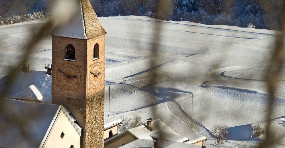
Alternating along the edge of the forest and over open terrain, you can enjoy the view of the Inn in the valley, Ramosch and the snow-covered peaks of the Lower Engadine Dolomites at the western entrance to the valley, whether on sledge or by foot.
Once in Ramosch, the PostBus will take you back to Vnà or to Scuol/Martina (hourly service).
- Directions
-
From Vnà follow the road to Ramosch via Sur Savuogn.
Shortly before Runai through a sparse group of trees
Option: ascent to Martinatsch and to the sledging trail
Otherwise straight on to MedrasDescent to Ramosch (possibly sledge)
- Highest point
- 1,674 m
- Endpoint
-
PostBus stop Vnà, Jalmèr
- Height profile
-
 © outdooractive.com
 - Equipment
-
Regular winter hike:
High and sturdy hiking boots or winter boots, warm clothing, sun cream, sunglasses, sunscreen, hiking poles, as needed: sled for the descent.
Sledge run:
Sledge, high and sturdy hiking boots or winter boots, warm clothing, sun protection, as required ticket for the uphill run, gloves and helmet recommended.
- Safety instructions
-
The trail is groomed after each snowfall. Please note the condition reports in the winter sports report. The tour was assessed in favourable weather conditions, the current snow and weather conditions must be observed before starting.
Attention: the trail runs below Vnà along a wildlife rest zone - please do not leave the trail.
Emergency call:
144 Emergency call, first aid
1414 Mountain rescue REGA
112 International emergency call
- Tips
-
1st alternative: You can also take the turnoff to Martinatsch at Runai and follow this path. At Medras instead of walking to Ramosch, hike back to Runai and Vnà.
2nd alternative: Instead of walking directly from Runai to Medras, you can also take the turnoff at Runai and reach the upper road. This path then meets the other one again at Medras.
3rd alternative: Once you have arrived on Motta, you can also choose the path to Seraplana instead of continuing down to Ramosch. - Directions
-
- From the north: via Landquart - Klosters by car transport through the Vereina tunnel (Selfranga - Sagliains) or via the Flüela Pass into the Lower Engadine on the H27 to Ramosch (25 minutes drive from Vereina south portal).
- From the east: via Landeck / Austria in the direction of St. Moritz on H27 to Ramosch
- From the south: via Reschenpass (Nauders-Martina) or Ofenpass (Val Müstair-Zernez) on the H27 to Ramosch.
Vnà can be reached in 5 minutes by car from the Engadine road H27 from Ramosch Fermada.
- Public transportation
-
- By Rhaetian Railway (from Chur, Landquart/Prättigau or from the Upper Engadine) hourly to Scuol-Tarasp.
- By PostBus (from Scuol, Martina, Sent, Ftan, Tarasp) hourly to Ramosch, Fermada
- Direct PostBus connection from Ramosch, Fermada to Vnà, Jalmèr
- Parking
-
- Free parking available directly at the Vnà bus stop
- Author
-
The tour Vnà – Ramosch is used by outdooractive.com provided.


General info
-
Vinschgau
54
-
Engadin Scuol Zernez
109
-
Ramosch-Vnà
32