


- Brief description
-
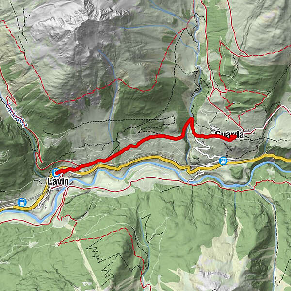
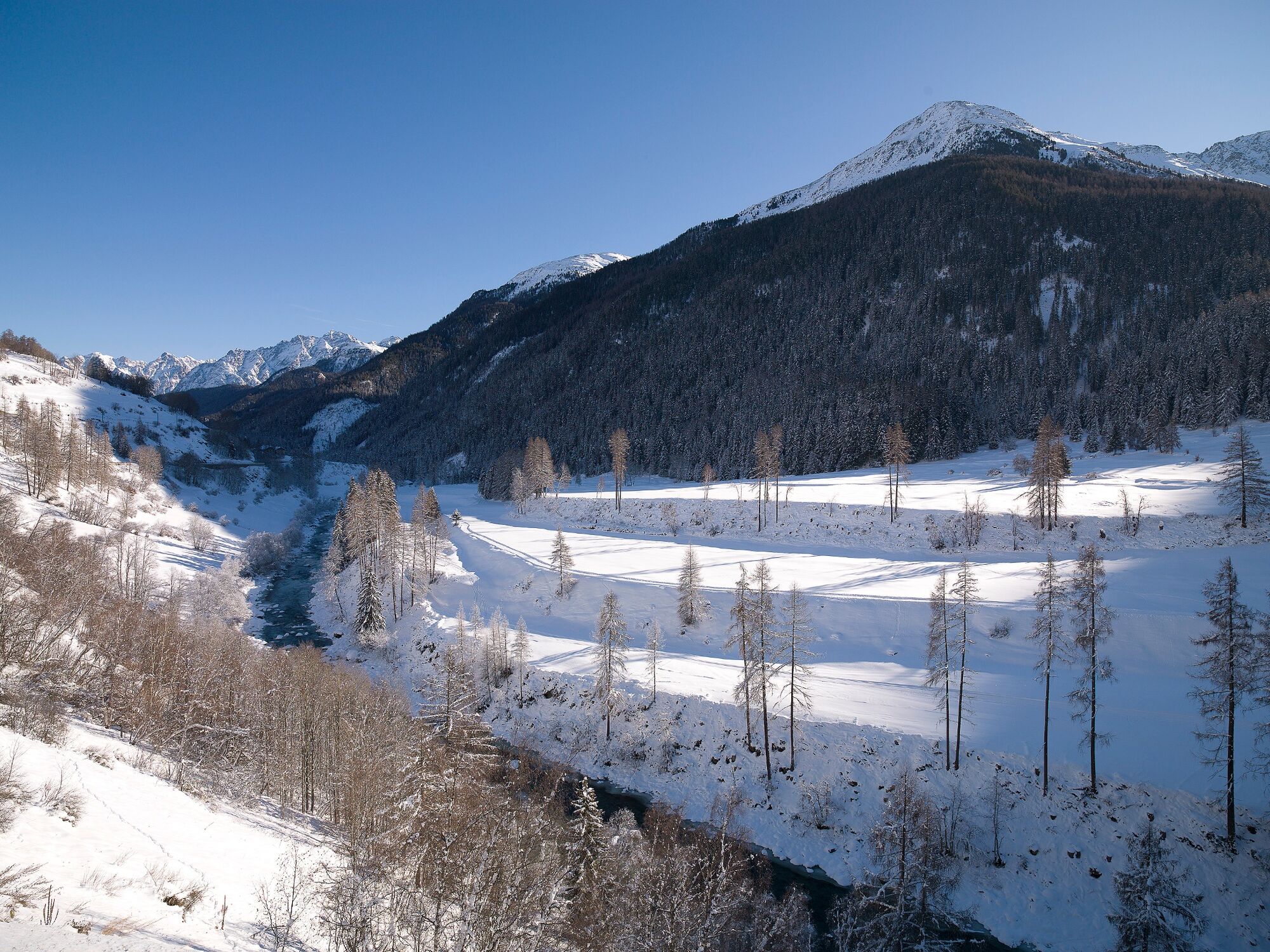
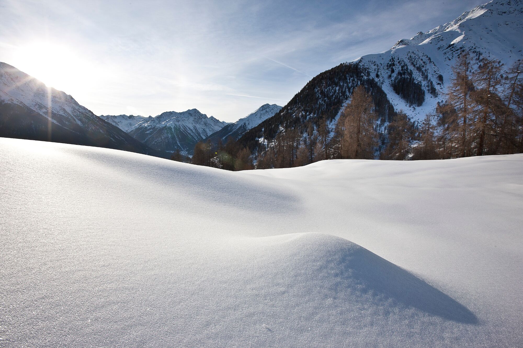
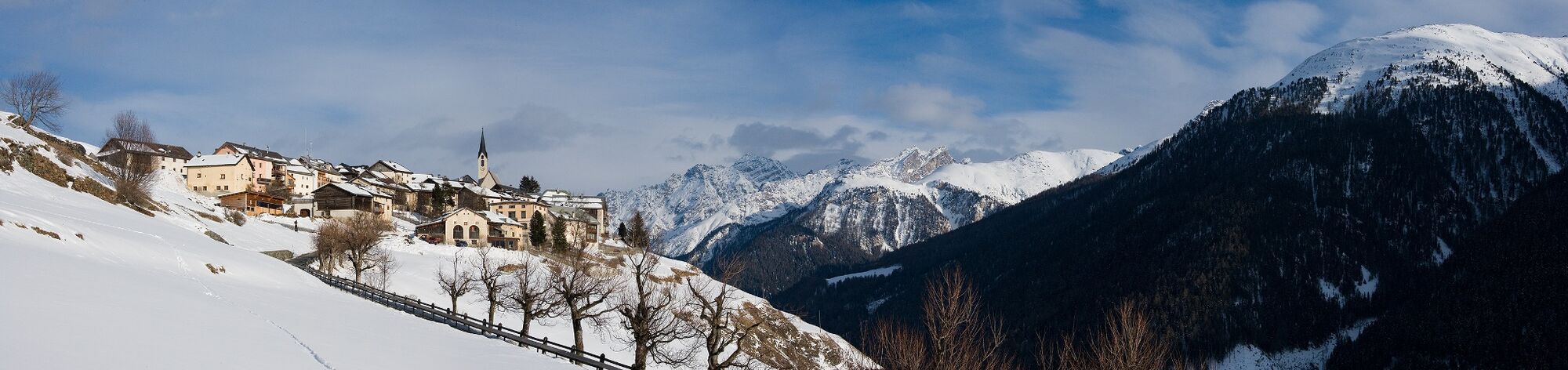
An entertaining hike from Lavin up to Guarda, with its beautiful views. Thanks to the topographical location, you have the Lower Engadine Dolomites in view throughout the hike.
- Difficulty
-
medium
- Rating
-
- Starting point
-
Lavin train station
- Route
-
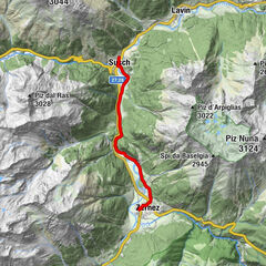
Lavin (1,412 m)Reformierte Kirche0.2 kmReformierte Kirche3.7 kmGuarda (1,653 m)3.8 kmPensiun Val Tuoi3.9 kmCrusch Alba3.9 km
- Best season
-
AugSepOctNovDecJanFebMarAprMayJunJul
- Description
-
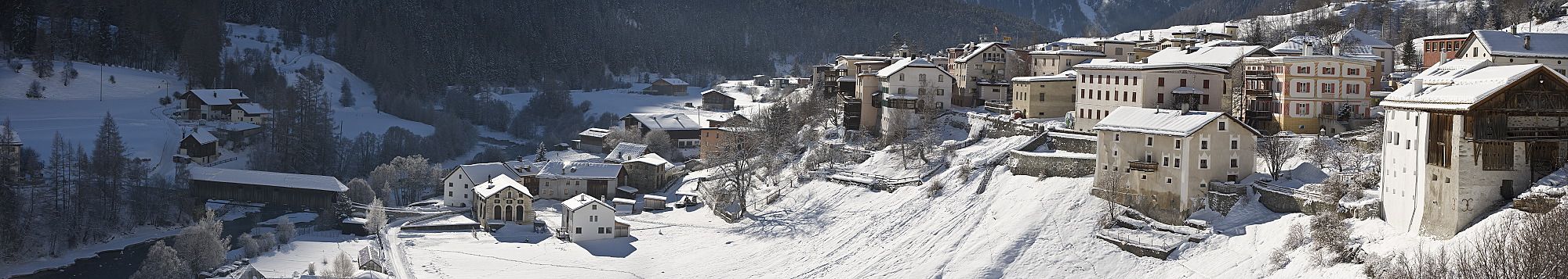
From the station in the direction of the church to the eastern exit of the village, the path leads to a subway. This crosses under the railway line and the Engadin road. The steady incline first leads past the last two Lavin farms to the first hill, where the path divides. Both paths lead to Guarda, the one on the left continues on a steady incline, the one on the right goes straight on at first flat and in a few curves following the slope, before it then joins the upper winter hiking trail again via a somewhat larger incline. Almost exactly halfway between Lavin and Guarda (after the short forest section) is the former settlement of Gonda. After another ascent over the terraced slopes, the trail turns left to the bridge over the Clozza mountain stream, which at this point also forms the municipal boundary between the two large municipalities of Zernez and Scuol. The trail then joins the road and leads to the entrance to Guarda.
- Directions
-
From Lavin station through the subway
Turn right onto the hiking trail towards Guarda
Pass the ruins of Gonda
Continue along the path
Turn left and cross the stream
Continue to Guarda - Highest point
- 1,652 m
- Endpoint
-
PostBus stop Guarda, cumün
- Height profile
-
 © outdooractive.com
 - Equipment
-
High and sturdy hiking boots or winter boots, warm clothing, sun protection, hiking poles, as needed: sledge for the return trip.
- Safety instructions
-
The trail is groomed after each snowfall. Please note the condition reports in the winter sports report. The tour was assessed in favourable weather conditions, the current snow and weather conditions must be observed before starting.
Attention: At the beginning of the trail (after the last farm in Lavin) there is a barrier that closes the winter hiking trail in case of avalanches. Do not under any circumstances enter the trail when the barrier is closed.
Emergency call:
144 Emergency call, first aid
1414 Mountain rescue REGA
112 International emergency call.
- Tips
-
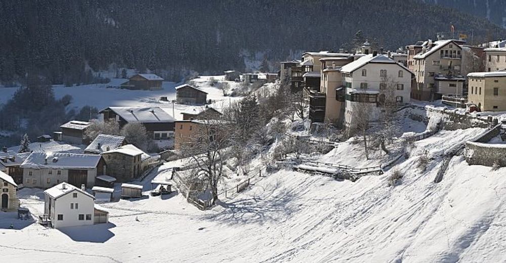
A tour of Guarda with its beautiful Engadine houses and squares is definitely recommended, however.
- Additional information
- Directions
-
- From the north: via Landquart – Klosters by car transport through the Vereina Tunnel (Selfranga - Sagliains) or via the Flüela Pass into the Lower Engadine on H27
- From the east: via Landeck / Austria towards St. Moritz on H27From the south: via Reschenpass (Nauders-Martina) or Ofenpass (Val Müstair-Zernez) on H27
Lavin is located directly on the Engadine road H27 (2 minutes drive from Veraina south portal)
- Public transportation
-
- By Rhaetian Railway (from Chur, Landquart/Prättigau, from the Upper Engadine or Scuol) to Lavin station
- Parking
-
- Paid parking at the railway station in Lavin

- Author
-
The tour Lavin – Guarda is used by outdooractive.com provided.


General info
-
Engadin Scuol Zernez
109
-
Guarda
25