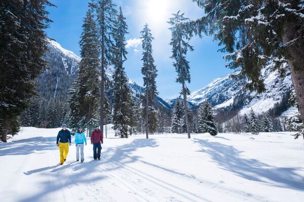

- Brief description
-
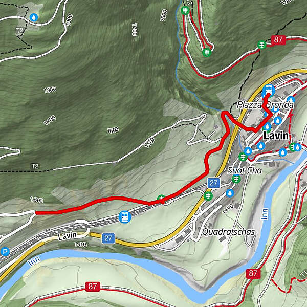
An entertaining circular hike to the south portal of the Vereina railway tunnel, where you can observe the loading operations.
- Difficulty
-
easy
- Rating
-
- Starting point
-
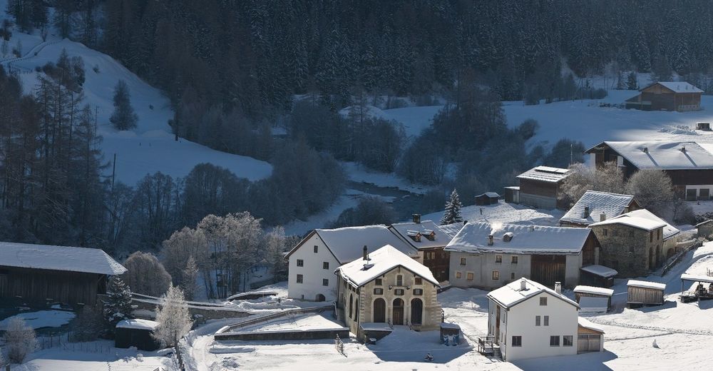
Lavin railway station
- Route
-
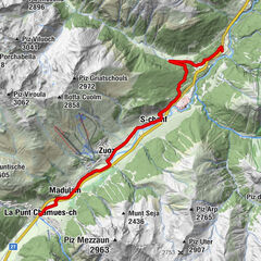
Lavin (1,432 m)Sur Auas0.5 kmLavin (1,412 m)2.8 km
- Best season
-
AugSepOctNovDecJanFebMarAprMayJunJul
- Description
-
From Lavin train station, the path first descends into the village centre and follows the signs to Chamonna Linard at the western end of the village. Traversing under the Engadine road and the train tracks you reach the Crusch plain. The tour continues slightly uphill to the vantage point above the loading station at the Vereina tunnel. Every half hour or 20 minutes you can watch the busy loading and unloading of the car trains at this major Engadine traffic junction. The return journey is along the same route.
- Directions
-
From the station to the village centre
Follow the signs to Chamonna Linard
Continue to the western exit of the village
Cross under the road and railway tracks to Crusch
Climb to the viewpoint Return the same way as out
- Highest point
- 1,475 m
- Endpoint
-
Lavin railway station
- Height profile
-
 © outdooractive.com
 - Equipment
-
High and sturdy hiking boots or winter boots, warm clothing, sun protection, hiking poles, as needed: sledges for the descent.
- Safety instructions
-
The trail is groomed after each snowfall. Please note the condition reports in the winter sports report. The tour was assessed in favourable weather conditions, current snow and weather conditions must be noted before starting.
Emergency call:
144 Emergency call, first aid
1414 Mountain rescue REGA
112 International emergency call
- Tips
-
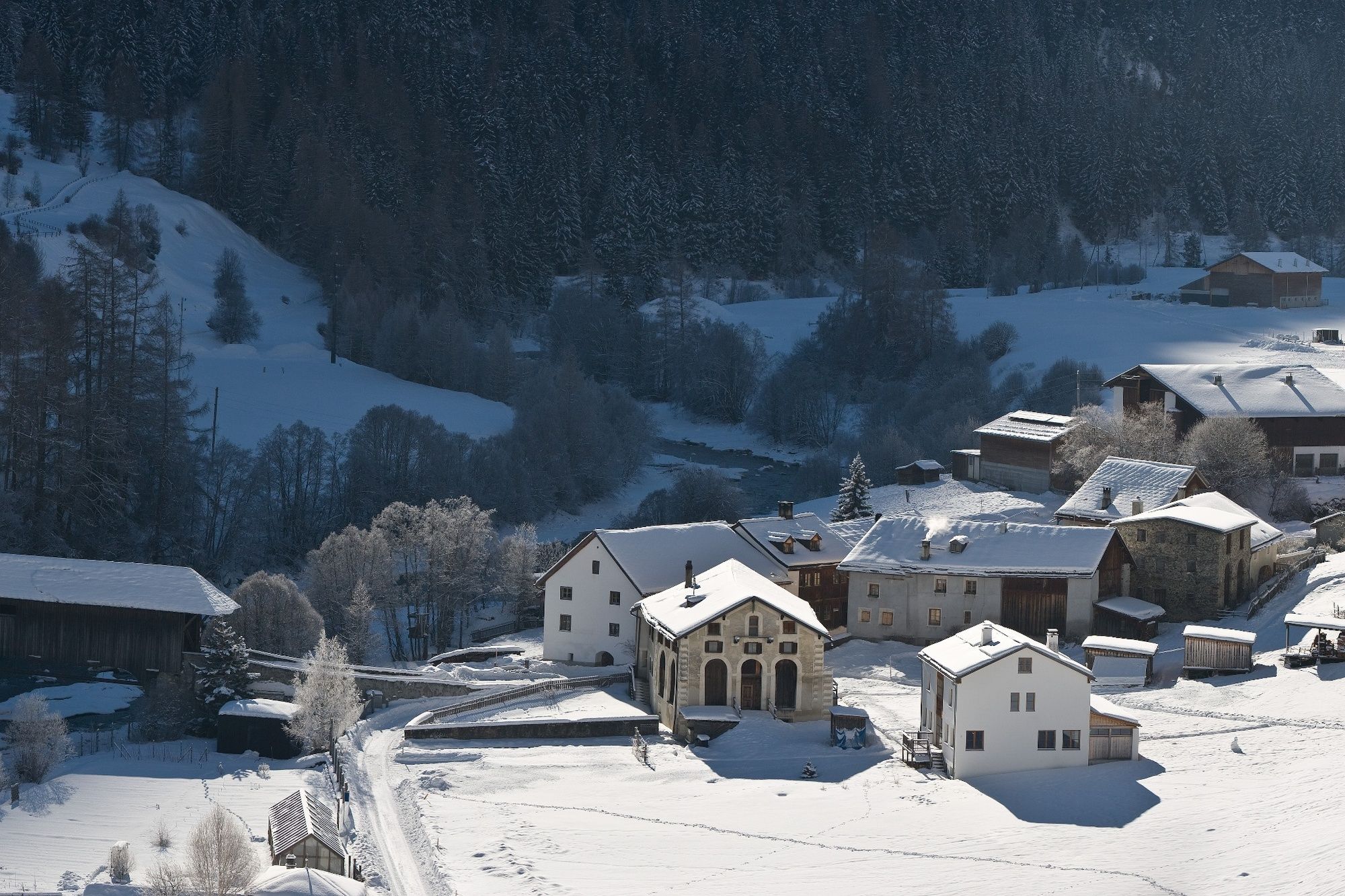
The name Lavin orginates from the Roman "labi" which means landslide or avalanche. This is obvious by looking up to the steep slopes and gullies of Piz Chapisun which rises to the north of the path. Today, the slopes are secured by state-of-the-art technology. If you look closely, you can see the avalanche towers that can trigger avalanches by remote control on the uppermost visible rocks above the path.
- Directions
-
- From the north: via Landquart - Klosters by car transport through the Vereina Tunnel (Selfranga - Sagliains) or via the Flüela Pass into the Lower Engadine on H27.
- From the east: via Landeck / Austria in the direction of St. Moritz on H27
- From the south: via Reschenpass (Nauders-Martina) or Ofenpass (Val Müstair-Zernez) on H27
Lavin is located directly on the Engadine road H27 (2 minutes drive from Veraina south portal)
- Public transportation
-
- With the Rhaetian Railway (from Chur, Landquart/Prättigau, from the Upper Engadine or from Scuol) hourly to Lavin station.
- Parking
-
- Paid parking at the railway station in Lavin
- Author
-
The tour Lavin - Sagliains (Return Route) is used by outdooractive.com provided.


General info
-
Engadin Scuol Zernez
109
-
Lavin
21