
- Brief description
-
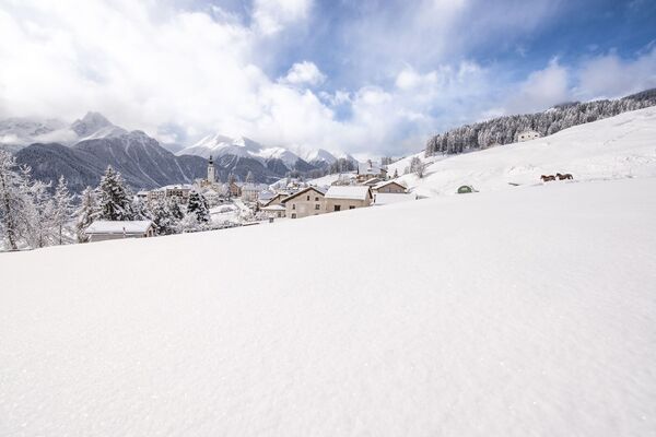
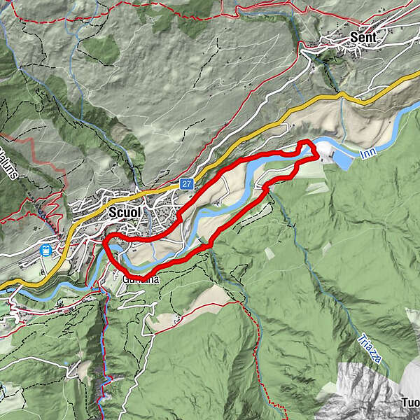
Easy round trip for the entire family on open terrain along the Inn and through the authentic, lower village centre of Scuol.
- Difficulty
-
easy
- Rating
-
- Starting point
-
PostBus stop Scuol, Chantröven
- Route
-
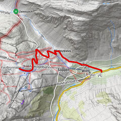
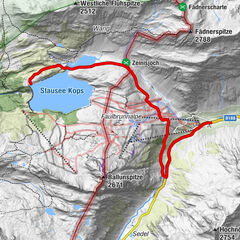
Scuol (1,250 m)Herz JesuPradella2.6 kmScuol (1,250 m)6.7 kmHerz Jesu7.1 km
- Best season
-
AugSepOctNovDecJanFebMarAprMayJunJul
- Description
-
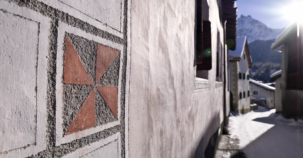
This winter hike begins at the Gurlaina Bridge, which is situated high above the Inn and offers wonderful views over Scuol with its reformed church. After the bridge you pass the Gurlaina sports area with its ice rink, soccer and tennis courts and follow the little frequented road for a while. At the junction, the hike continues through the forest until you finally reach the small village of Pradella with its Engadine houses. Continue along a wide path to the Pradella hydroelectric power station, which generates electricity from the Inn River. There you change to the other side of the Inn. Hiking slightly uphill you now return to Scuol. Keep left on "Via da Manaröl" past the Denner supermarket and continue straight on into the old centre of Scuol, where you pass the village squares "Plaz" and "Bügl Grond" with their village fountains. The hike ends at the Gurlaina bridge.
- Directions
-
From the PostBus stop over the Gurlaina bridge
Cross the area to the left
Follow the road
At the crossroads turn into the forest
Follow the road to Pradella
Cross the InnReturn to Scuol
Stay on the left road
Pass Scuol Plaz and Bügl Grond to the Gurlaina bridge
- Highest point
- 1,213 m
- Endpoint
-
PostBus stop Scuol, Chantröven
- Height profile
-
 © outdooractive.com
 - Equipment
-
High and sturdy hiking boots or winter boots, warm clothing, sun cream, sunglasses, sunscreen, hiking poles.
- Safety instructions
-
Der Weg wird nach jedem Schneefall präpariert. Bitte beachten Sie die Zustandsmeldungen im Wintersportbericht. Die Tour wurde bei günstigen Witterungsverhältnissen bewertet, die aktuellen Schnee- und Witterungsverhältnisse müssen vor dem Start beachtet werden.
Notruf:
144 Notruf, Erste Hilfe
1414 Bergrettung REGA
112 Internationaler Notruf
- Additional information
- Directions
-
- From the north: via Landquart - Klosters by car transport through the Vereina Tunnel (Selfranga - Sagliains) or via the Flüela Pass into the Lower Engadine on H27.
- From the east: via Landeck / Austria in the direction of St. Moritz on H27
- From the south: via Reschenpass (Nauders-Martina) or Ofenpass (Val Müstair-Zernez) on H27
Scuol is located directly on the Engadine road H27 (20 minutes' drive from Vereina south portal).
- Public transportation
-
- By Rhaetian Railway (from Chur, Landquart/Prättigau or from the Upper Engadine) hourly to Scuol-Tarasp.
- By PostBus (from Martina, Sent, Ftan or Tarasp) hourly to Scuol-Tarasp station
- By local bus (runs throughout Scuol) to the PostBus stop Scuol, Chantröven
- Parking
-
- Free parking at Gurlaina (sports grounds with ice rink, football pitch, camping)

- Author
-
The tour Scuol – Gurlaina – Pradella (BP) is used by outdooractive.com provided.


General info
-
Engadin Scuol Zernez
109
-
Scuol
36