
- Brief description
-
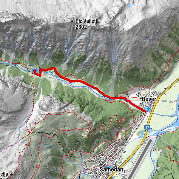
Hike to the southern portal of the Albula tunnel, to Spinas
- Difficulty
-
easy
- Rating
-
- Starting point
-
Bever railway station
- Route
-
Da PrimoBever (1,708 m)0.0 kmSpinas (1,815 m)3.9 km
- Best season
-
AugSepOctNovDecJanFebMarAprMayJunJul
- Description
-
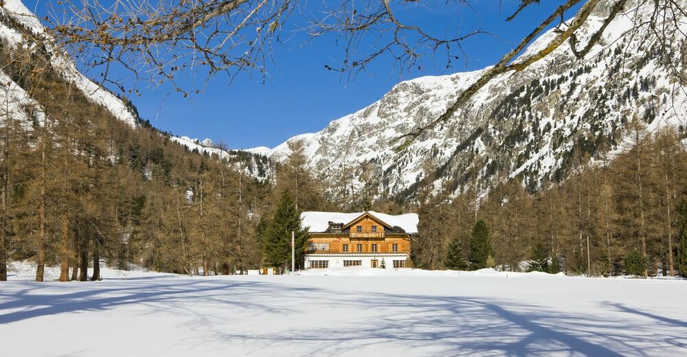
The tranquillity that one experiences on this easy walk is what makes it a great experience. From Bever railway station, the path runs along the Beverin stream to Spinas. The path sometimes goes over snow-covered plains and sometimes leads through enchanting forests.
The leisurely walk is accompanied by the RhB, which meanders nearby over the Albula Pass down to Tiefencastel. In Spinas, the freshly refurbished mountain inn welcomes hikers and rewards them with local delicacies and genuine hospitality.
More information
Engadin Tourismus AG
Via Maistra 1
CH-7500 St. Moritz
Phone: +41 81 830 00 01
E-mail: allegra@engadin.ch
Internet: www.engadin.chwinter hiking trail report: www.engadin.ch/en/slopes-tracks/winter-hiking-trails/
- Directions
-
Bever - Taverna - Spinas
- Highest point
- 1,818 m
- Endpoint
-
Spinas railway station
- Height profile
-
 © outdooractive.com
 - Tips
-
There are also horse-drawn carriages into Val Bever.
- Public transportation
-
Take the Engadin Bus to the bus stop Bever Staziun or the train to Bever railway station.
To get back, take the train from Spinas railway station.
- Parking
-
Parking spaces are available at Bever railway station.

- Author
-
The tour Bever-Spinas (Val Bever) is used by outdooractive.com provided.


General info
-
Engadin St. Moritz
102
-
Samedan
50